
Opening hours:Today closed
Place:Vent
:Alpine pasture / hut / mountain restaurant
VERNAGTHÜTTE -> HINTERER BROCHKOGEL
Avalanche danger scale
1 (LOW)
An avalanche release is only possible under a high additional load on very few, extreme steep slopes. No spontaneous avalanches (so-called slides) are expected. Generally safe conditions.
2 (MODERATE)
An avalanche release is likely under a high additional load especially on the indicated steep slopes. Larger avalanches are not expected. The snow cover is generally well compacted, except on some steep slopes. Careful route selection at the indicated steep slopes and aspects.
3 (CONSIDERABLE)
An avalanche release is already probable under slight additional load mainly on the indicated steep slopes. Occasionally spontaneous medium, occasionally also large avalanches are possible. The snow cover on many steep slopes is only moderately to weakly compacted. Experience in avalanche assessment is necessary. Avoid indicated steep slopes and aspects as much as possible.
4 (HIGH)
An avalanche release is already possible under slight additional load mainly on the indicated steep slopes. Often many medium, sometimes large avalanches occur. On many steep slopes the snow cover is only weakly compacted. Route choice should be limited to moderately steep terrain and avalanche runout zones must be observed. Much experience in avalanche assessment is necessary.
5 (VERY HIGH)
Numerous large avalanches are expected spontaneously, also in moderately steep terrain. At this warning level, secure operation in ski areas is no longer possible. The snow cover is generally weakly compacted and unstable. It is recommended to refrain from tours.
See also at lawine.tirol.gv.at
Recommended ski touring equipment
The "standard ski touring equipment" consists of touring skis with touring bindings, telescopic poles, climbing skins, crampons, digital avalanche transceiver, avalanche shovel, avalanche probe, first aid kit, and a mobile phone. A "complete glacier equipment" includes harness, two differently sized prusik loops or ascenders, two HMS carabiners, ice axe, crampons, and a rope. A backpack with appropriate contents should be carried, including change of clothes, sun protection, cold protection, provisions, and enough to drink! Do not forget hygiene articles and a hut sleeping bag for overnight stays in huts!
Difficulty rating
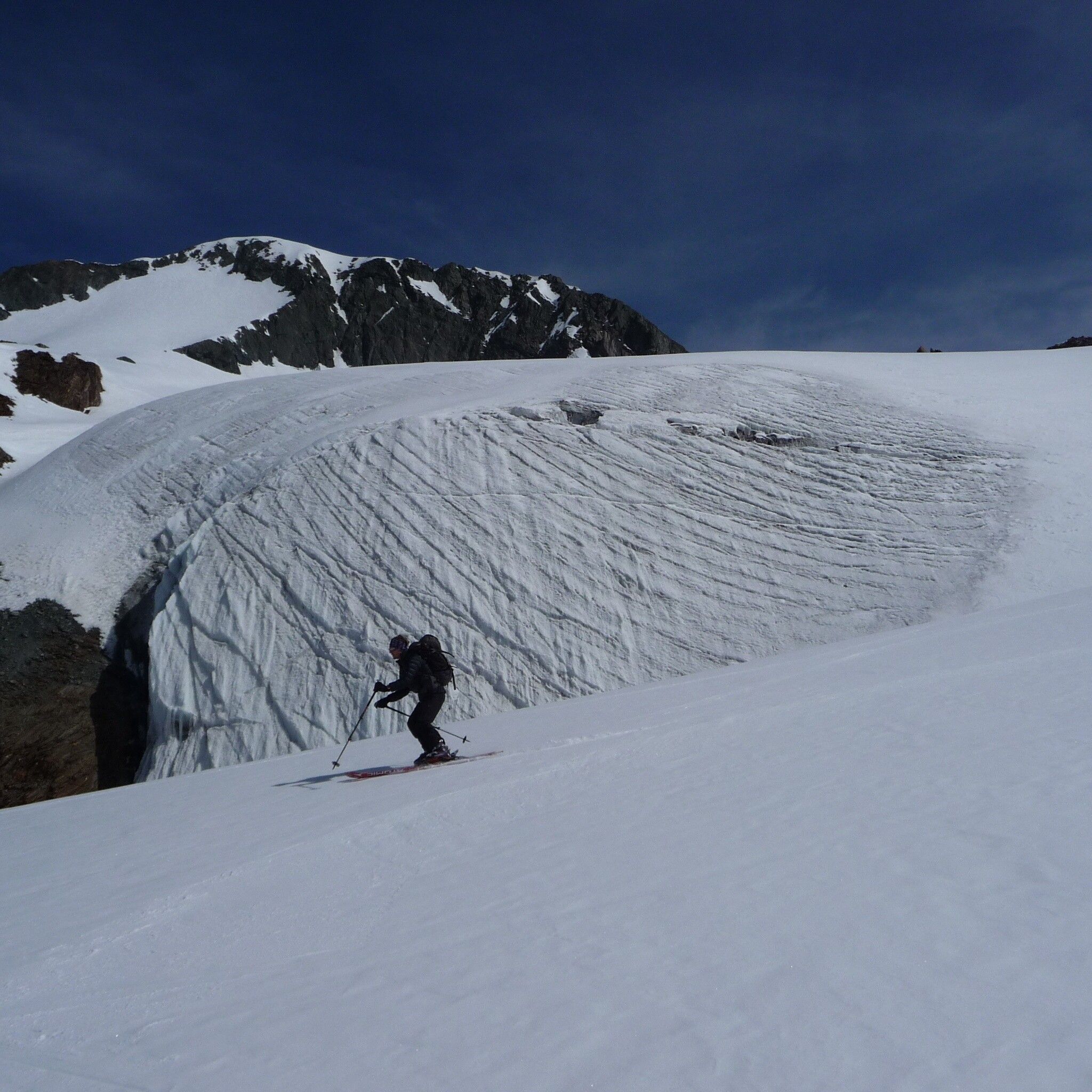
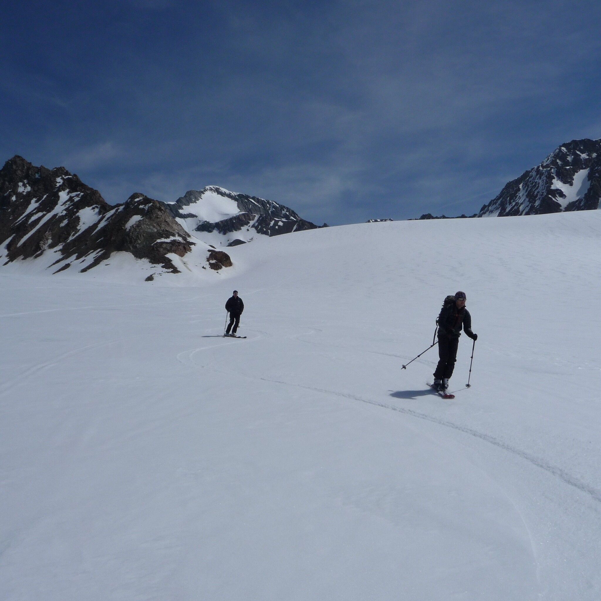
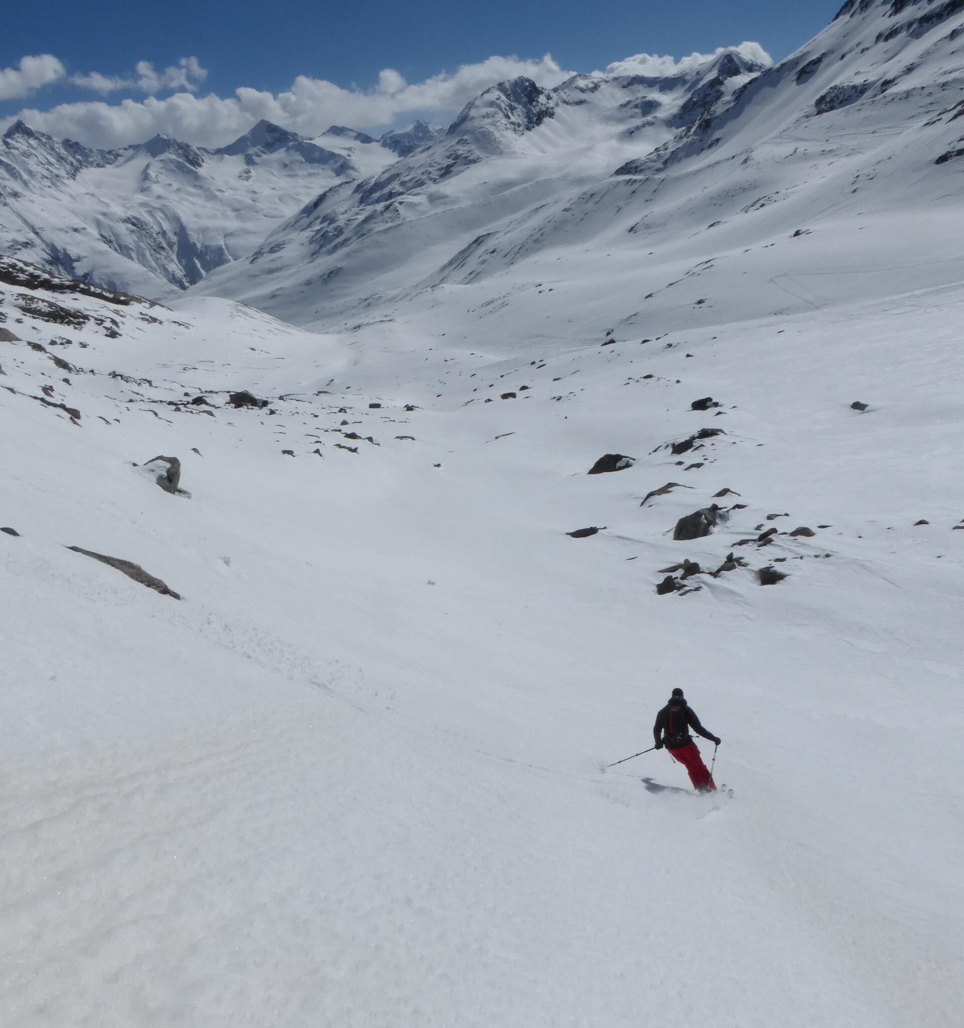
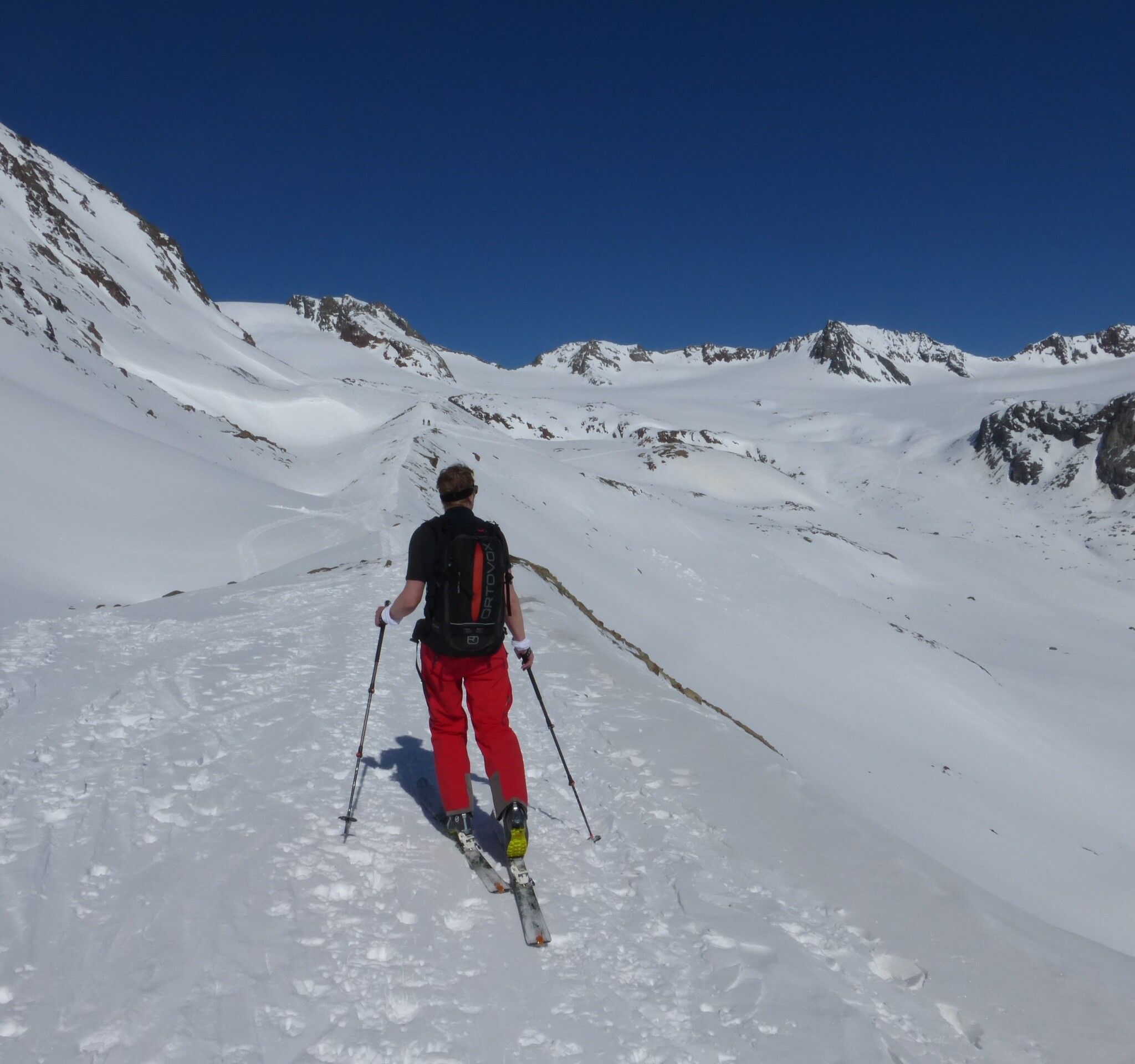
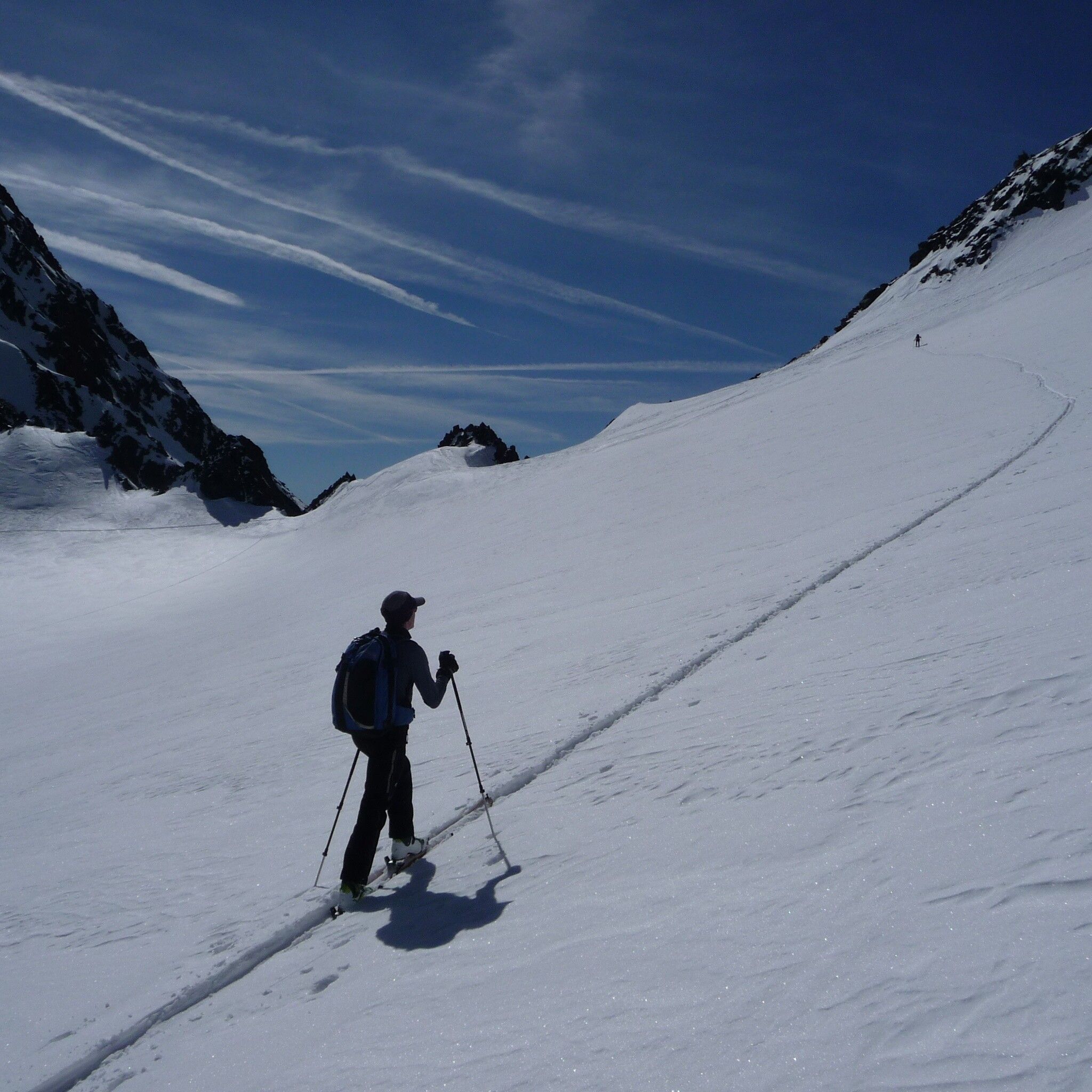
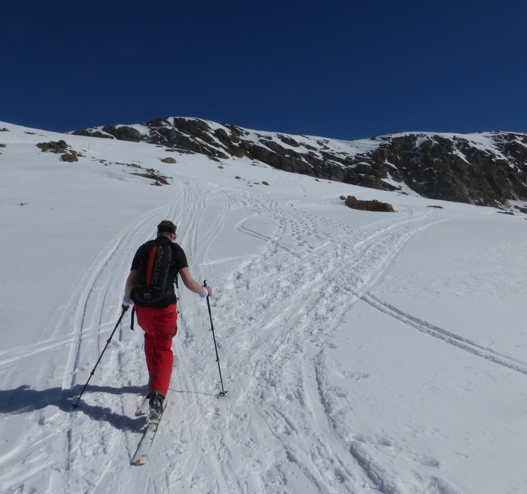
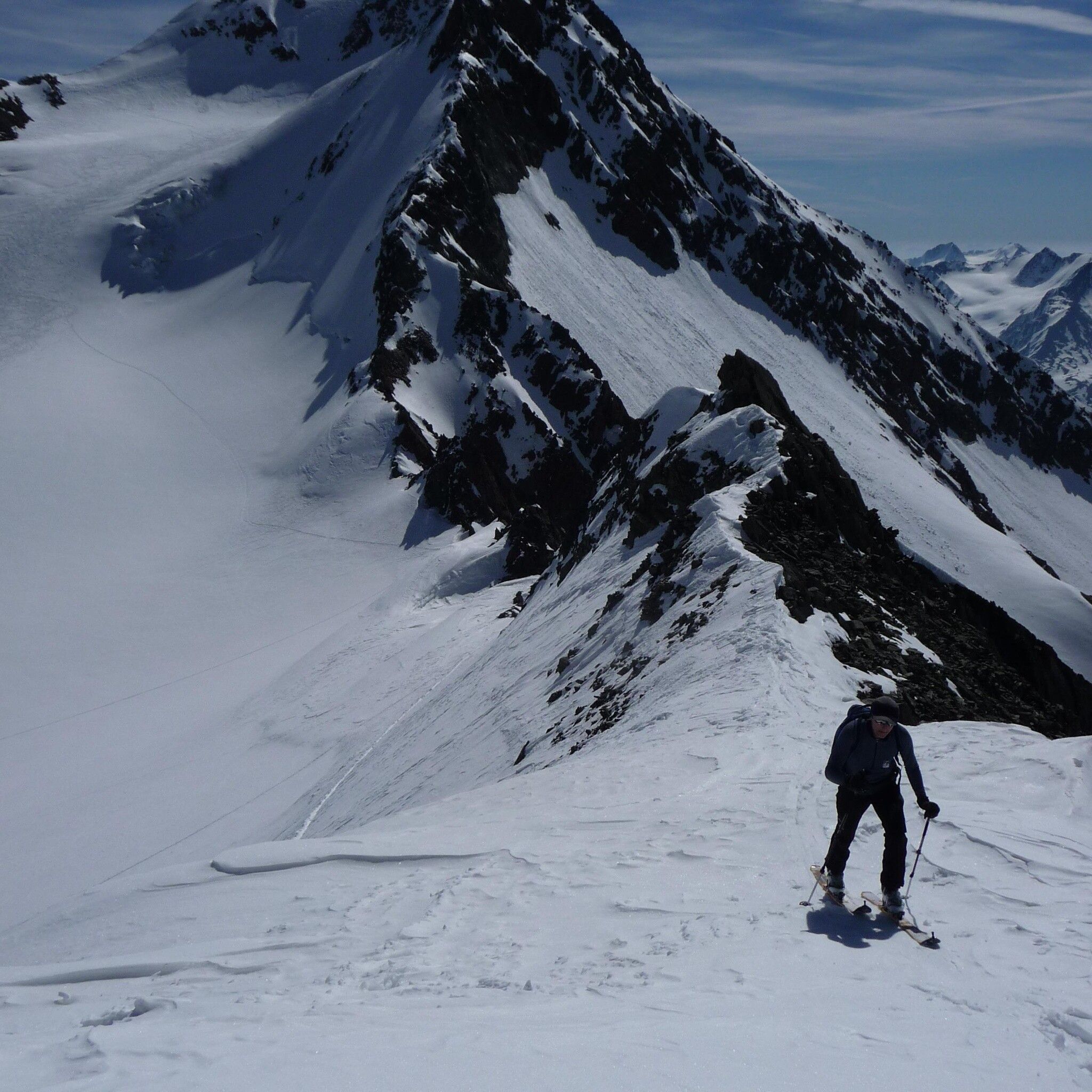
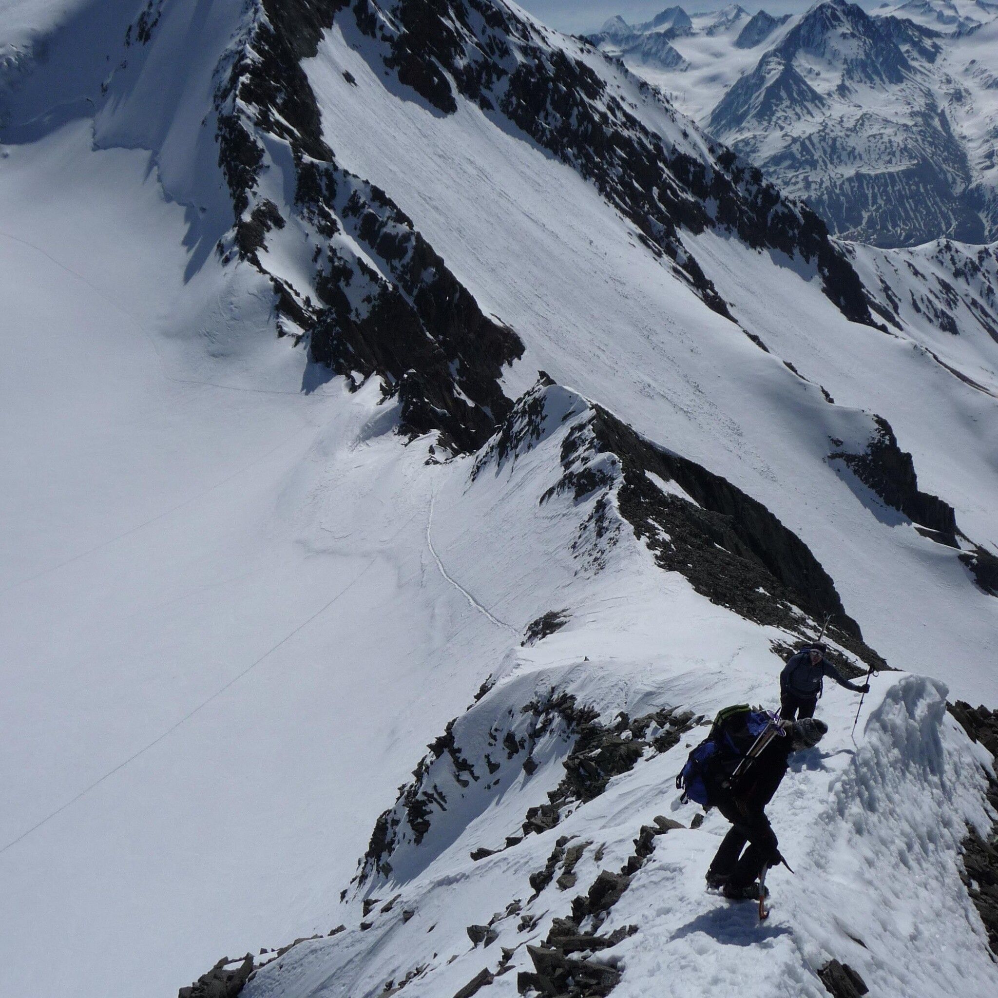
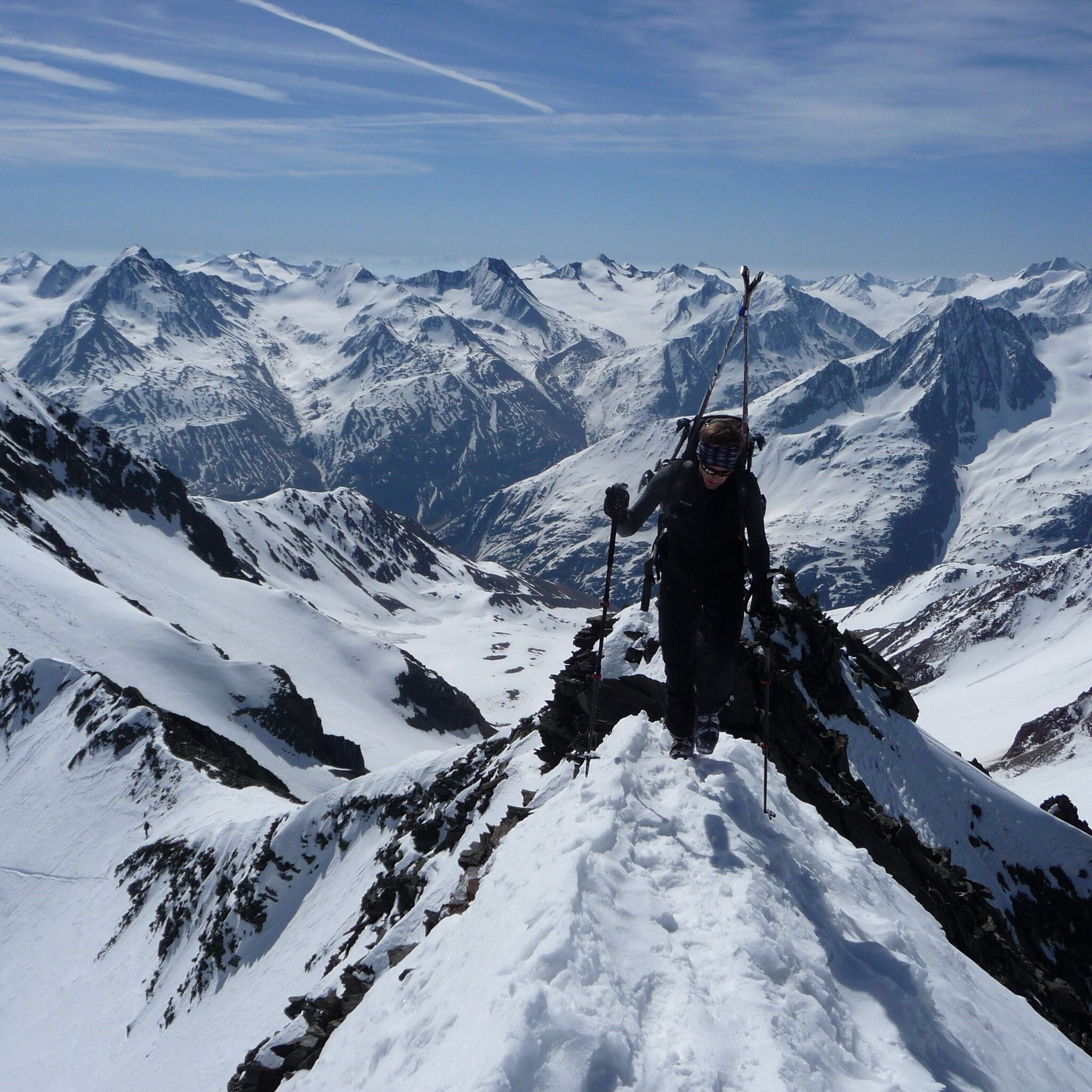
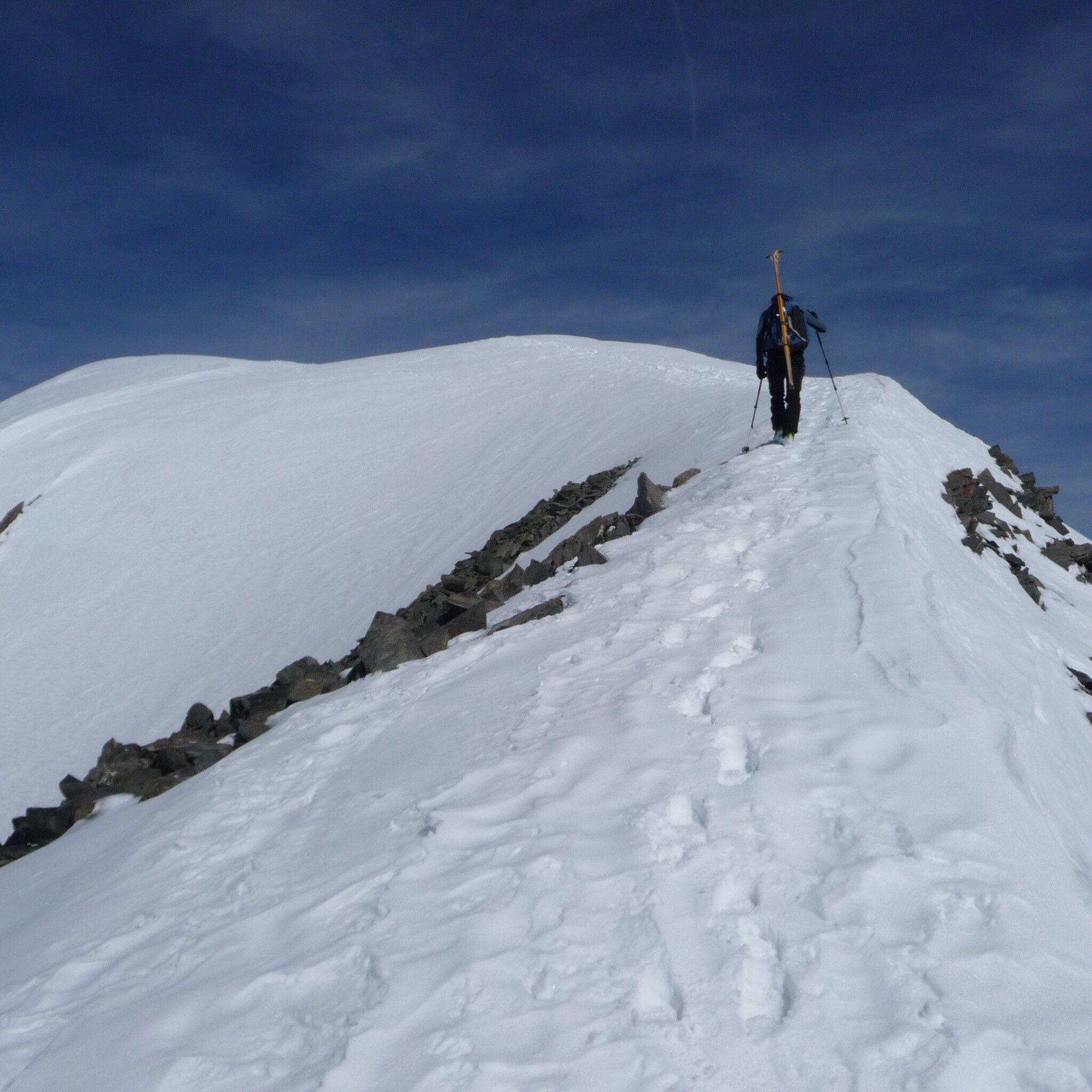
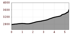
From the Vernagthütte (closed in winter 24/25, no winter room) first head north, from approx. 2,900 m above sea level northeast to the Kleiner Vernagtferner. Now to the south ridge of Petersenspitze, towards Brochkogeljoch (3,423 m). At about 3,200 m, head east to Vernagtjoch (3,400 m), where you turn left onto the gentler ramp leading to the summit structure. Then continue on foot to the summit. Under good conditions, it is also possible to ski down the 150 m high steep summit face.Ascent: 4 hDescent: 45 min
Travel comfortably and safely by train to the Ötztal train station. The final stop or exit point is the ÖTZTAL station. Afterwards, travel conveniently and quickly with public transport or local taxi companies through the entire valley to your desired destination! The current bus timetable is available at: http://fahrplan.vvt.at
In the mountaineering village Vent you have the following parking options.
- In summer, in front of the village (parking meter, only coins or EC card) and at the valley station of the chairlift (at the mountain railway cashier)
- In winter, only at the valley station of the chairlift.
Cost: €5.00 per day/car
