
Place:Obergurgl
:Restaurant, Bar / Pub
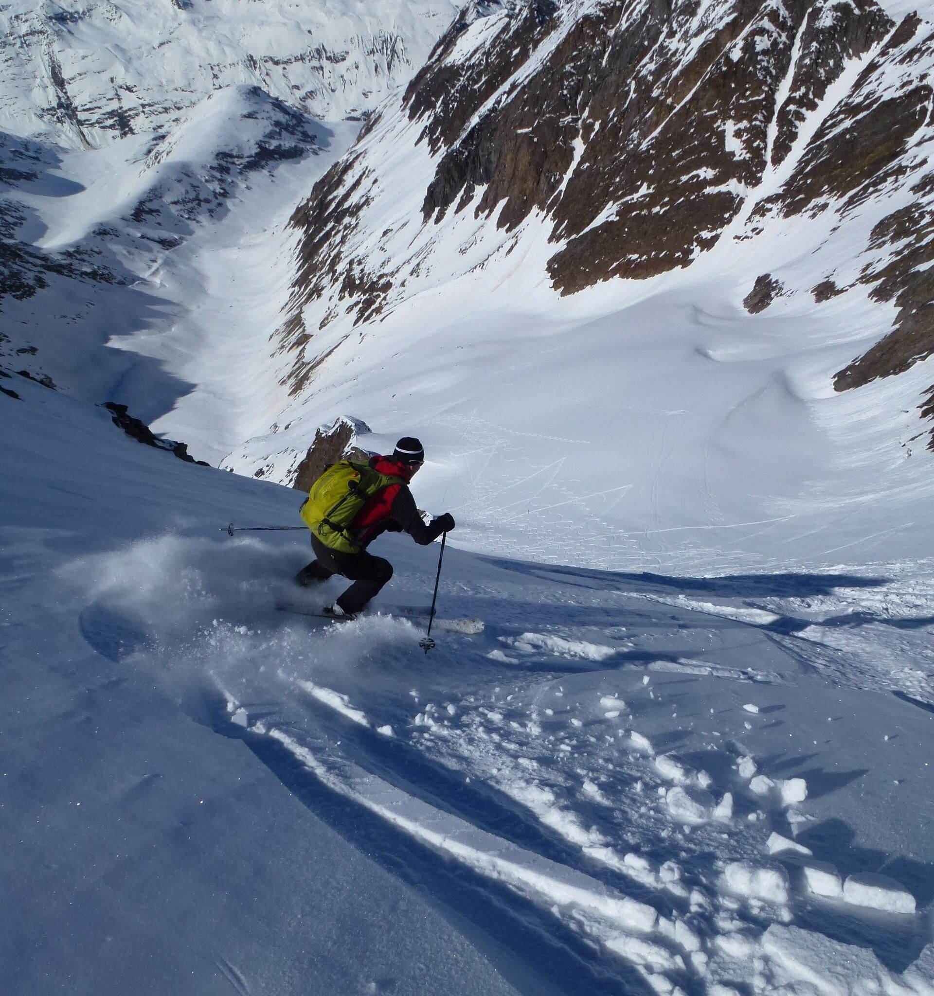
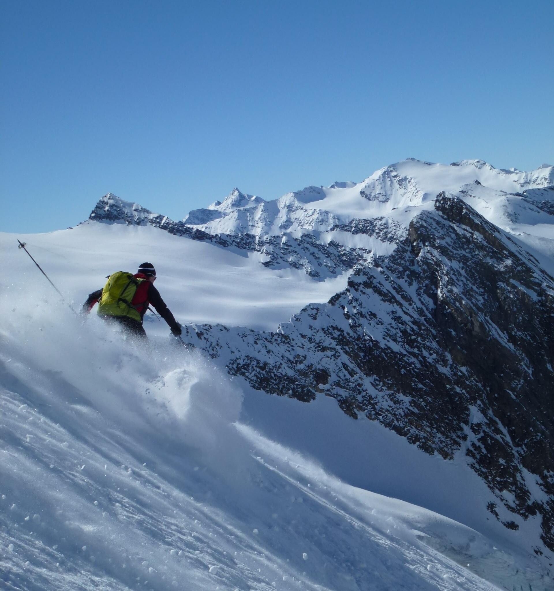
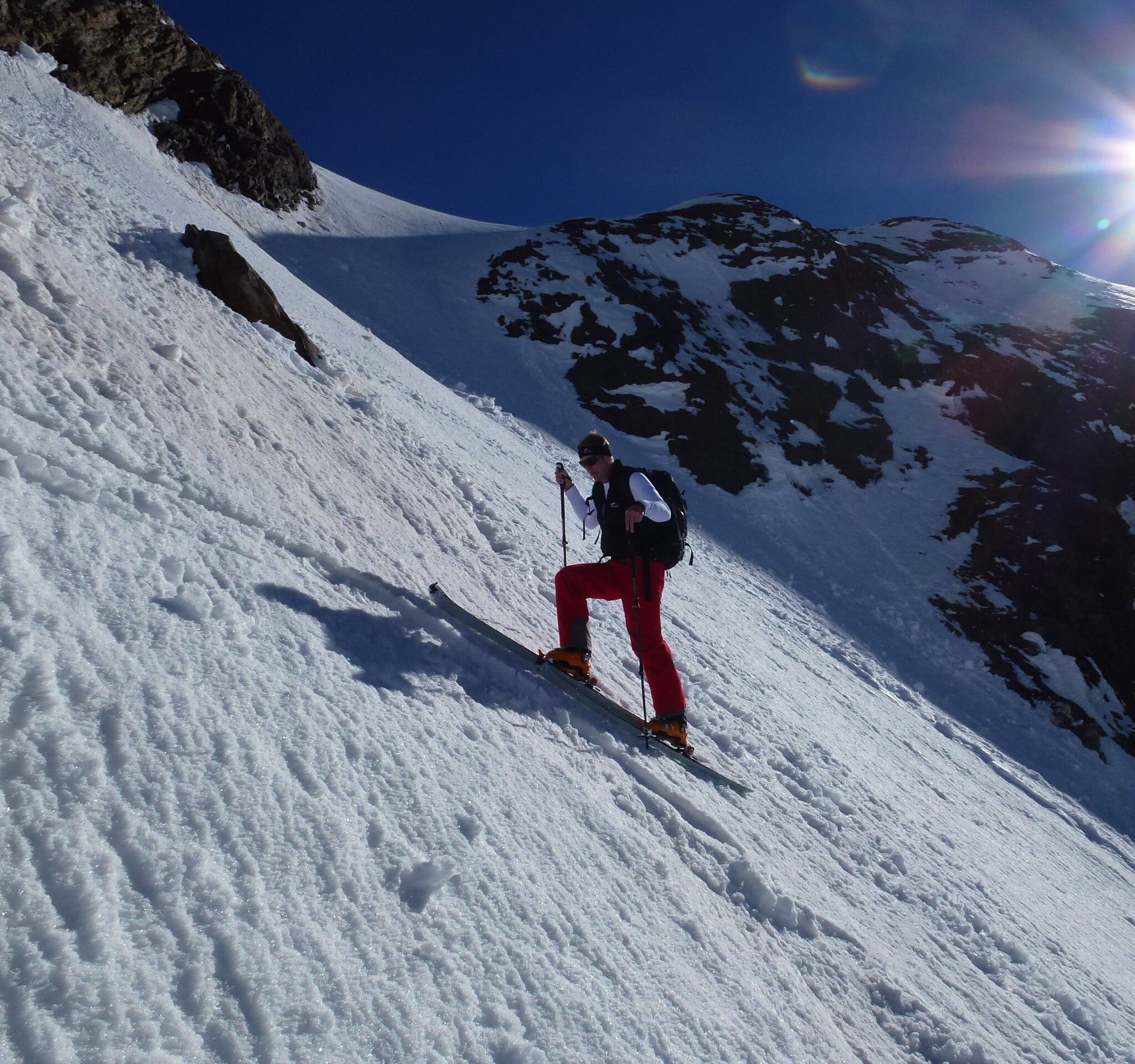
The most popular steep descent in the Obergurgl touring area.
Avalanche Danger Scale
1 (LOW)
An avalanche release is only possible with heavy additional load on very few, extreme steep slopes. No spontaneous avalanches (so-called slides) are expected. Generally safe conditions.
2 (MODERATE)
An avalanche release is probable with heavy additional load especially on the stated steep slopes. Larger avalanches are not expected. The snowpack is generally well consolidated except on some steep slopes. Careful route selection on the indicated steep slopes and slope exposures.
3 (CONSIDERABLE)
An avalanche release is already probable with slight additional load especially on the indicated steep slopes. Occasionally some medium, rarely even large spontaneous avalanches are possible. The snowpack on many steep slopes is only moderately to weakly consolidated. Experience in avalanche assessment necessary. Avoid indicated steep slopes and slope exposures as much as possible.
4 (HIGH)
An avalanche release is possible already with slight additional load especially on the indicated steep slopes. Occasionally many medium, often also large avalanches occur. On many steep slopes the snowpack is only weakly consolidated. When choosing a route, restrict yourself to moderately steep terrain and observe avalanche runout zones. A lot of experience in avalanche assessment is necessary.
5 (VERY HIGH)
Numerous large avalanches, also in moderately steep terrain, are expected spontaneously. At this warning level, safe operation in ski areas is no longer possible. The snowpack is generally weakly consolidated and unstable. Avoid tours.
See also under lawine.tirol.gv.at
Recommended Ski Touring Equipment
The "normal ski touring equipment" consists of touring skis with touring bindings, telescopic poles, climbing skins, crampons, digital avalanche transceiver, avalanche shovel, avalanche probe, first aid kit, and a mobile phone. A "complete glacier equipment" includes a harness, two Prusik slings or ascenders of different lengths, two HMS carabiners, an ice axe, crampons, and a rope. A backpack with appropriate contents should be carried, including spare clothing, sun protection, cold protection, provisions, and enough to drink! For hut overnight stays, don't forget to bring hygiene articles and a hut sleeping bag!
DIFFICULTY RATING
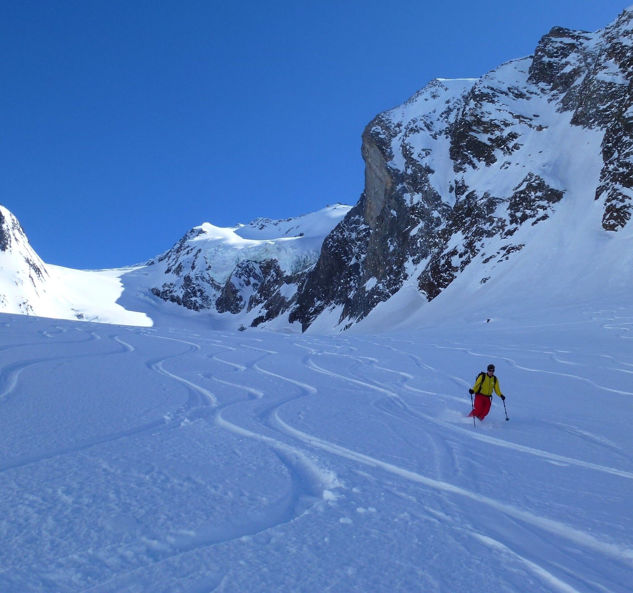
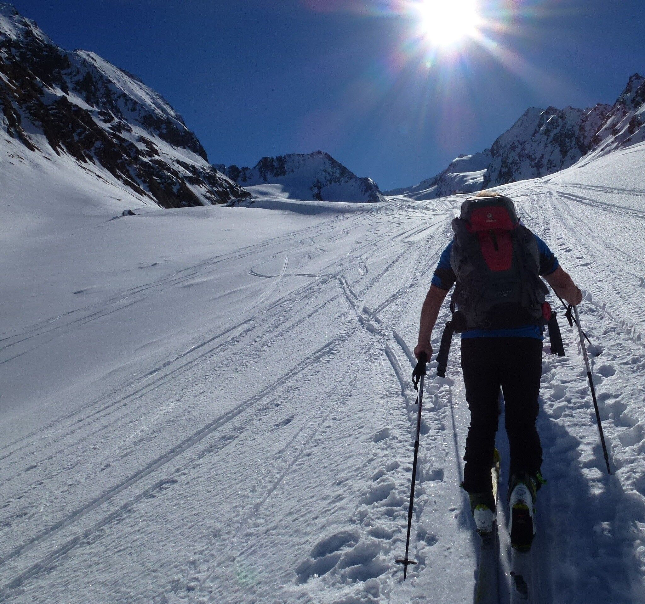
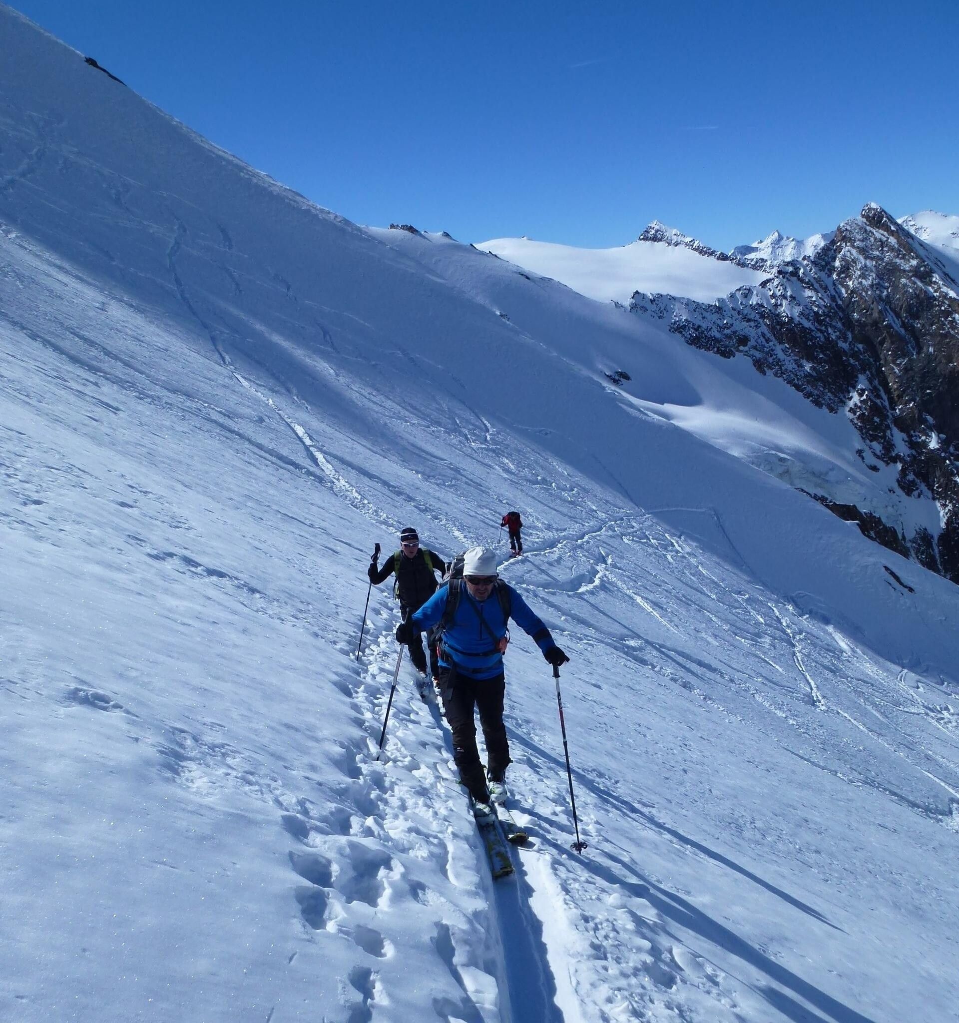
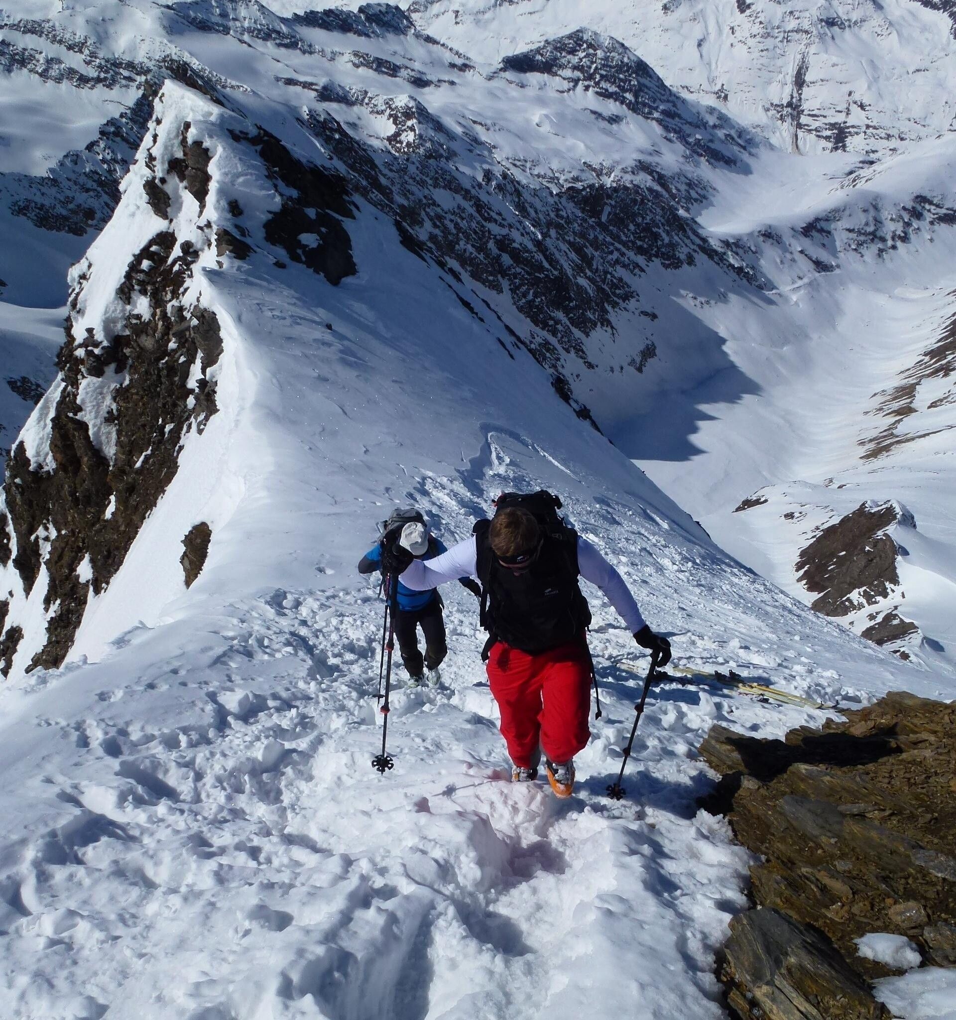
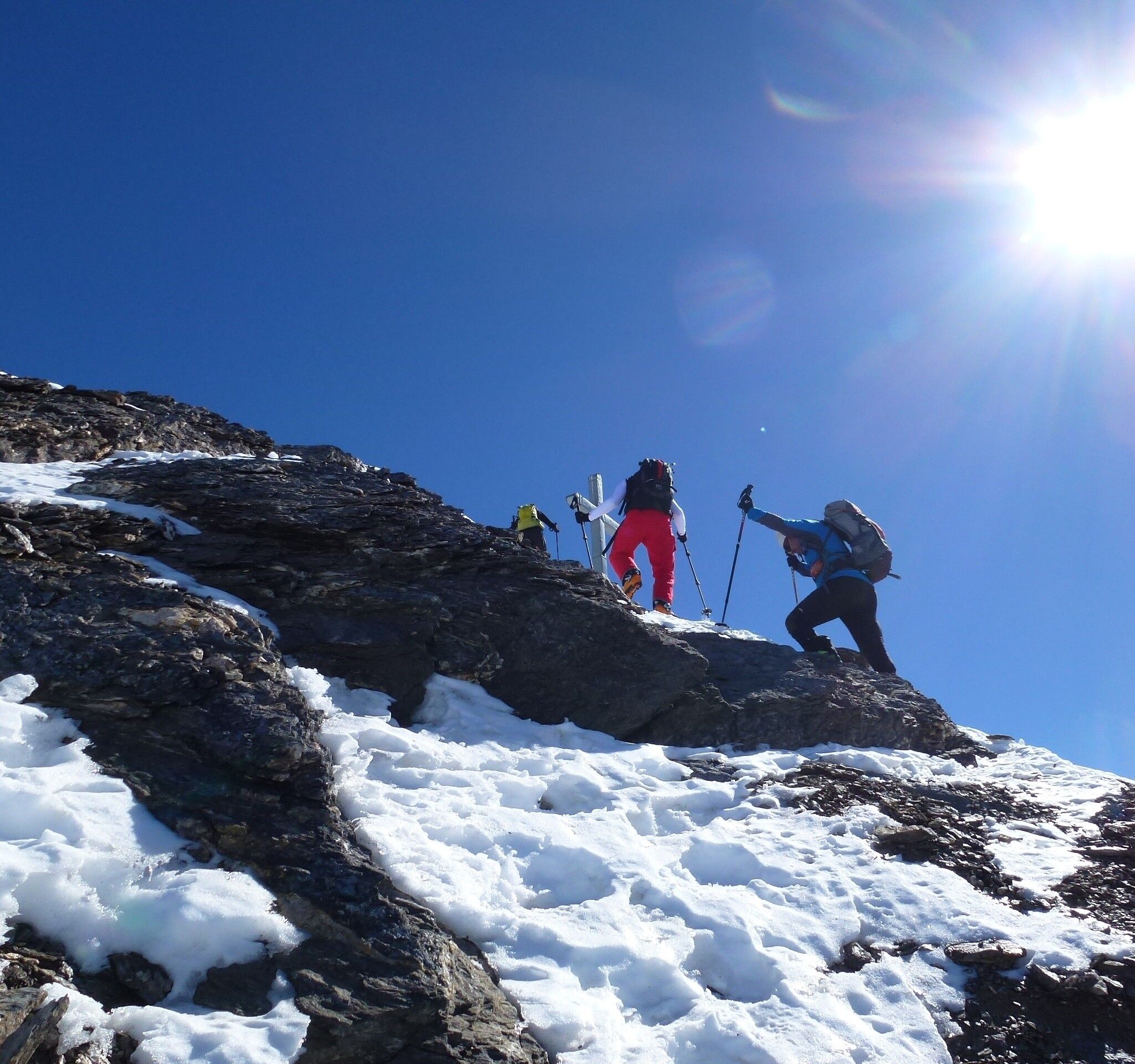
From Obergurgl, head south on a gravel road to the middle station of the Hohe Mut Bahn and continue steeply up into the Gaisberg valley. Further to the Gaisbergferner (end of markings!). Now cross the glacier to the left, very steeply up onto the orographically right side moraine, along it to the small Hochfirstferner. Now rope up and travel along the northern edge of the glacier (crevasses!) to below the summit flank, cross the bergschrund (often problematic when snow-free!) and over the 45-55 degree steep flank to the easy summit rocks of the Hochfirst.
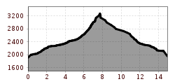
Ascent: 4 h 15 min.
Descent: 1 h
Travel comfortably and safely by train to the Ötztal railway station. The final stop or exit point is the ÖTZTAL station. Afterwards, you can conveniently and quickly travel through the entire valley to your desired destination by public transport or local taxi companies! The current bus timetable is available at: http://fahrplan.vvt.at
In Obergurgl-Hochgurgl, the following parking options are available:


