Description
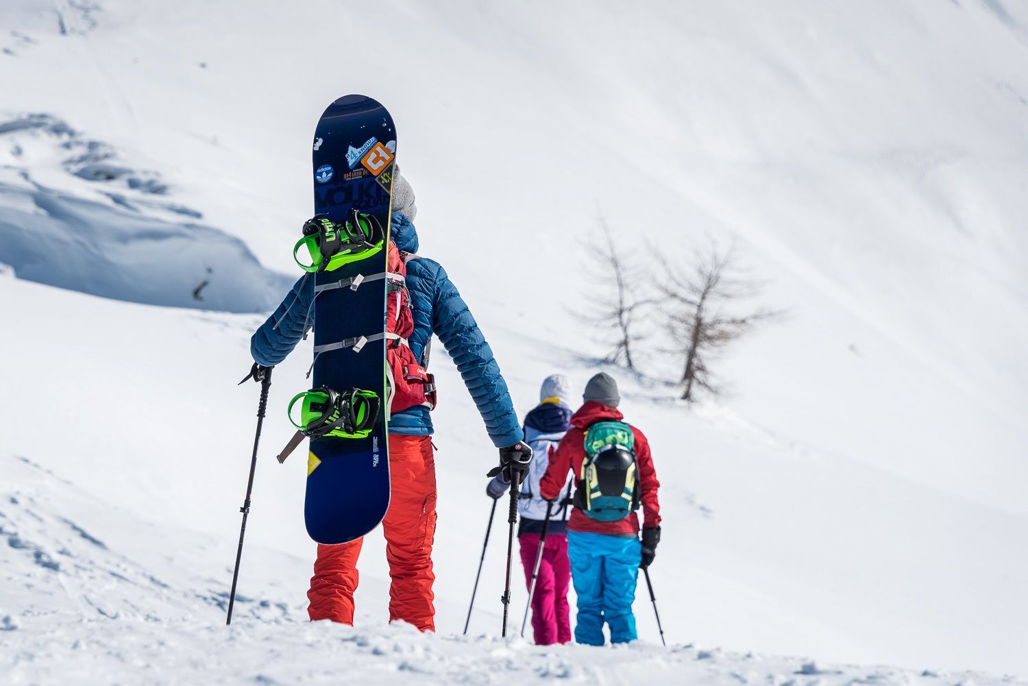
Danger of avalanches: mediumDescent: Way of ascent, West to Weidener Hütte or in safe conditions thorugh the Nurpenstal valley.
Ausgangspunkt: Weerberg, Innerberg/Innerst, 1.280 m (Parkgebühr € 3,00 / Tag)
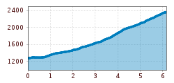
Routenbeschreibung: Start at parking lot on 1.280 m (4,200 ft) in direction Nafingtal valley/Weidener Hütte, then down to the Nurpesbach river, cross the bridge, proceed to forest road and follow road signs in direction Hoher Kopf. Proceed SE direction Alpl (Hochsinnalm), then Fiderisalm. Track goes in direction E over clear hillisdes. Proceed to way fork Rosslaufspitze in direction NE, then direction SE, on 2.250 m (7,380 ft) go to your left into Nurpenstal. At the lowest point of the ridge change to Nurpens side, proceed in direction SE. At 2.310 m (7.580 ft) you reach a depression in the terrain; follow this depression to below the summit cross. In good conditions you can take a path to the right up to the summit.
Anfahrt: From Innsbruck or Kufstein: Autobahn exit Vomp, then in direction Weerberg, there to Hausstatt hamlet.