Arrival by public transport
Take regional bus line 4080 to Achenkirch and get off at the "Achenkirch Abzw. Steinberg a. R." stop. From there, it’s a 15-minute walk.
Long but easy ascent and descent. Very popular tour.
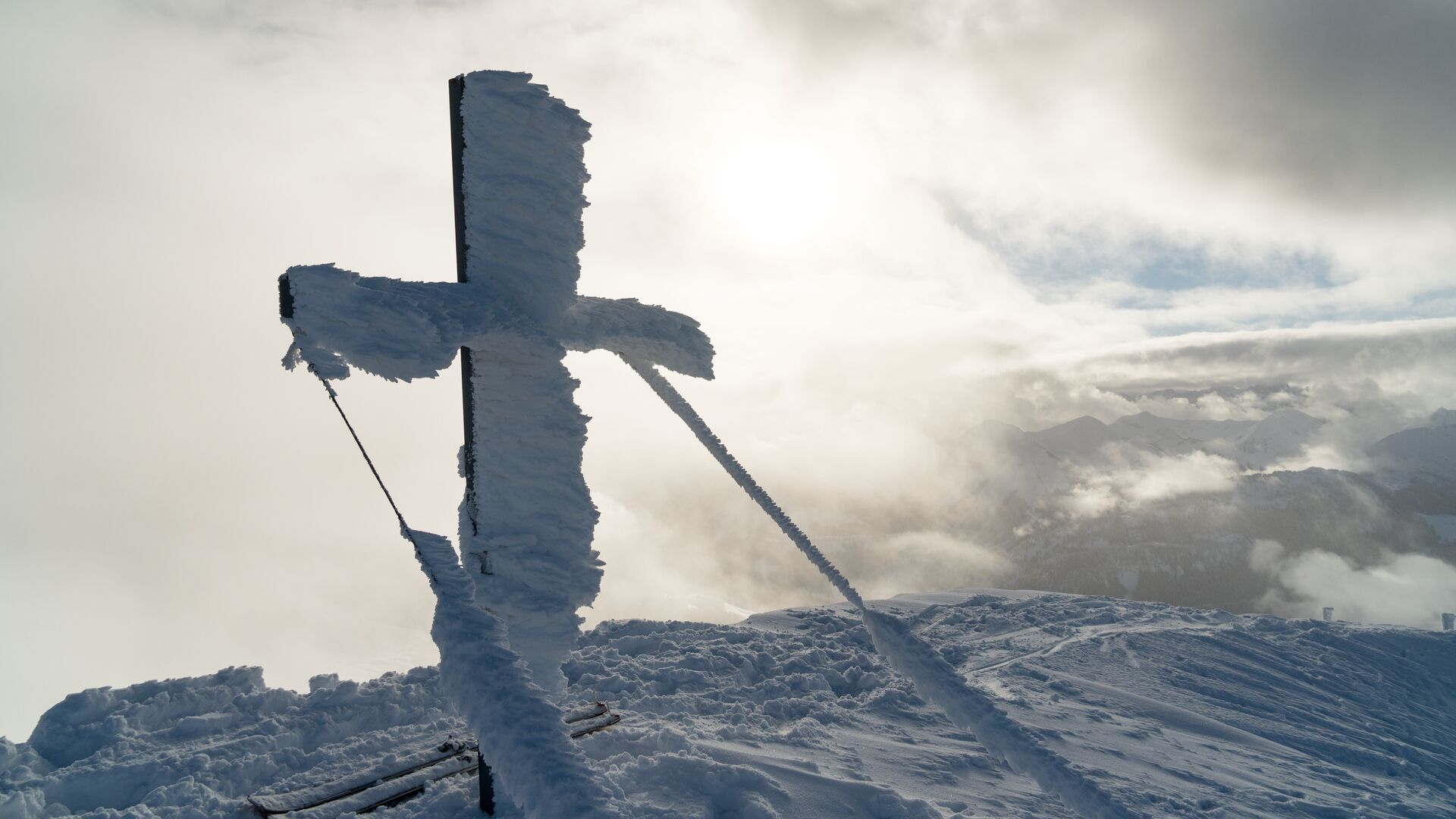
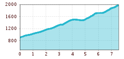
The ascent starts at the car park (avalanche beacon checkpoint) and climbs over the open hill to the south towards the Falkenmoosalm forest road. Follow this road and at the first right bend, head to the left and follow the summer hiking path. At the edge of the forest, climb up to the Falkenmoosalm (1,328m) on open meadows. To the west at an elevation of 1,500m, follow the path under the Hochplatte, then turn right to the Großzemmalm and behind the moun-tain huts walk to the ridge of the Marbichler Spitze. Cross the Marbichler Joch and climb over the south-eastern ridge to the summit.
The descent follows the ascent route.
Take regional bus line 4080 to Achenkirch and get off at the "Achenkirch Abzw. Steinberg a. R." stop. From there, it’s a 15-minute walk.
Falkenmoos car park in Achenkirch (paid parking)
