
Opening hours:Open today
Place:Längenfeld
:Alpine pasture / hut / mountain restaurant
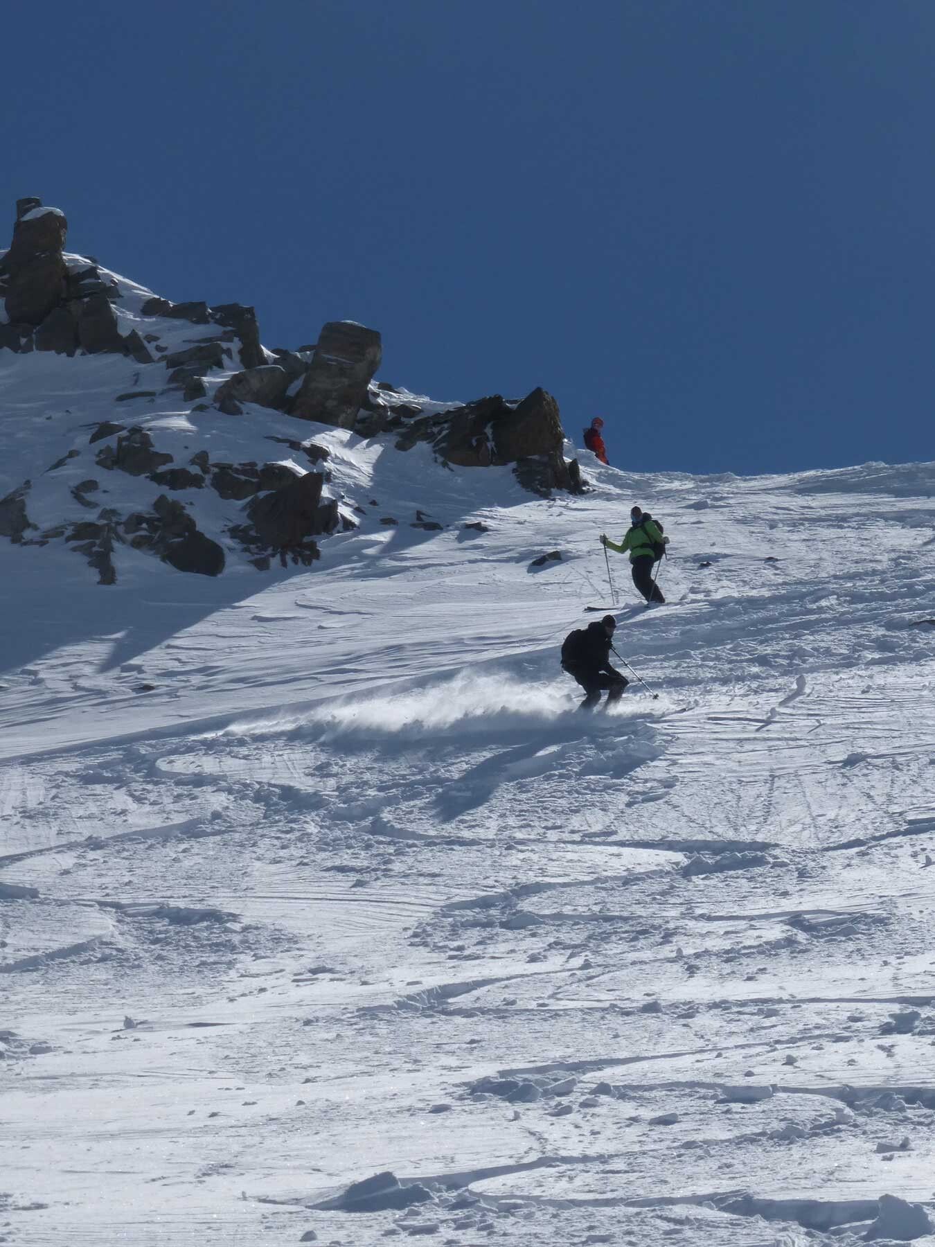
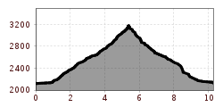
GRIES -> Sulztalalm -> Amberger Hut -> Roßkar -> KUHSCHEIBE


Safety notice
Please note the current snow and avalanche situation report for the coming days: https://lawinen.report/bulletin/latest
Avalanche danger scale
1 (LOW) An avalanche release is only possible under heavy additional load on very few, extreme steep slopes. No spontaneous avalanches (so-called slides) are expected. Generally safe conditions.
2 (MODERATE) An avalanche release is probable under heavy additional load especially on specified steep slopes. Larger avalanches are not expected. The snowpack is generally well consolidated, except on some steep slopes. Careful route selection on the indicated steep slopes and slope exposures.
3 (CONSIDERABLE) An avalanche release is already likely at slight additional load especially on the specified steep slopes. Occasionally, some medium-sized, occasionally also large avalanches are possible spontaneously. The snowpack is only moderately to weakly consolidated on many steep slopes. Experience in avalanche assessment is necessary. Avoid indicated steep slopes and slope exposures as much as possible.
4 (HIGH) An avalanche release is already possible at slight additional load especially on the indicated steep slopes. Occasionally many medium, multiple large avalanches occur. The snowpack is only weakly consolidated on many steep slopes. When choosing routes, limit to moderately steep terrain and observe the avalanche run-out zones. Extensive experience in avalanche assessment is necessary.
5 (VERY HIGH) Numerous large avalanches, also on moderately steep terrain, are expected spontaneously. At this warning level, safe operation in ski areas is no longer possible. The snowpack is generally weakly consolidated and unstable. Avoid tours.
See also at lawine.tirol.gv.at
Recommended ski tour equipment
The "normal ski touring equipment" consists of touring skis with touring bindings, telescopic poles, climbing skins, crampons, digital avalanche transceiver, avalanche shovel, avalanche probe, first aid kit, and a mobile phone. A "complete glacier equipment" consists of seat harnesses, two prusik loops or ascenders of different lengths, two HMS carabiners, an ice axe, crampons, and a rope. A backpack with appropriate contents should be carried, including spare clothing, sun protection, cold protection, food, and enough to drink! For hut overnight stays, do not forget to bring hygiene articles and a hut sleeping bag!
DIFFICULTY RATING
Easy: Easy, short to moderately long routes with ascents not exceeding 25° or only briefly.
Intermediate: Moderate, moderately long to long routes with ascents not exceeding 35° or only briefly.
Difficult: Difficult, long to very long routes with ascents reaching 40° or more, and climbing sections up to difficulty grade II (UIAA).
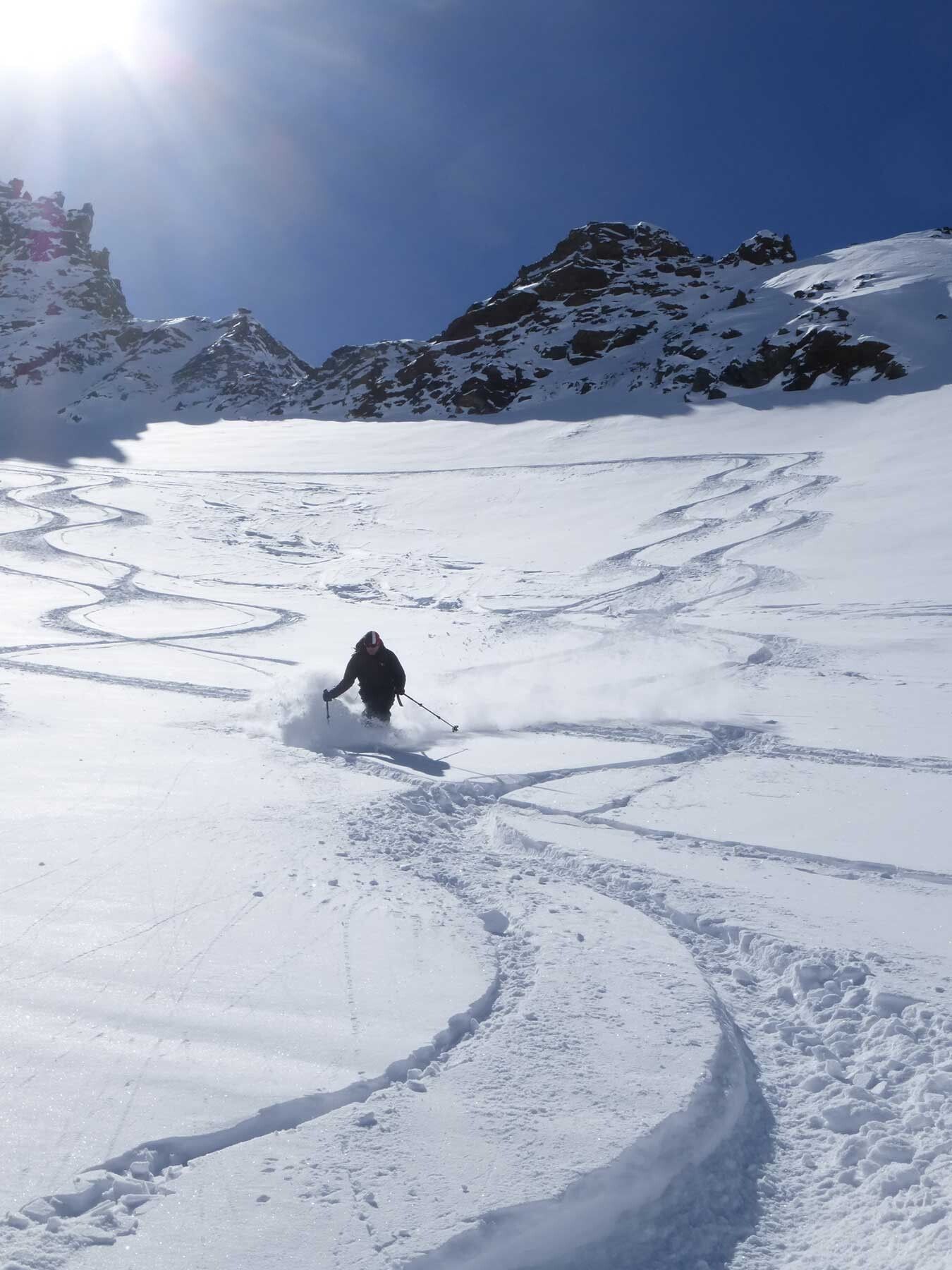
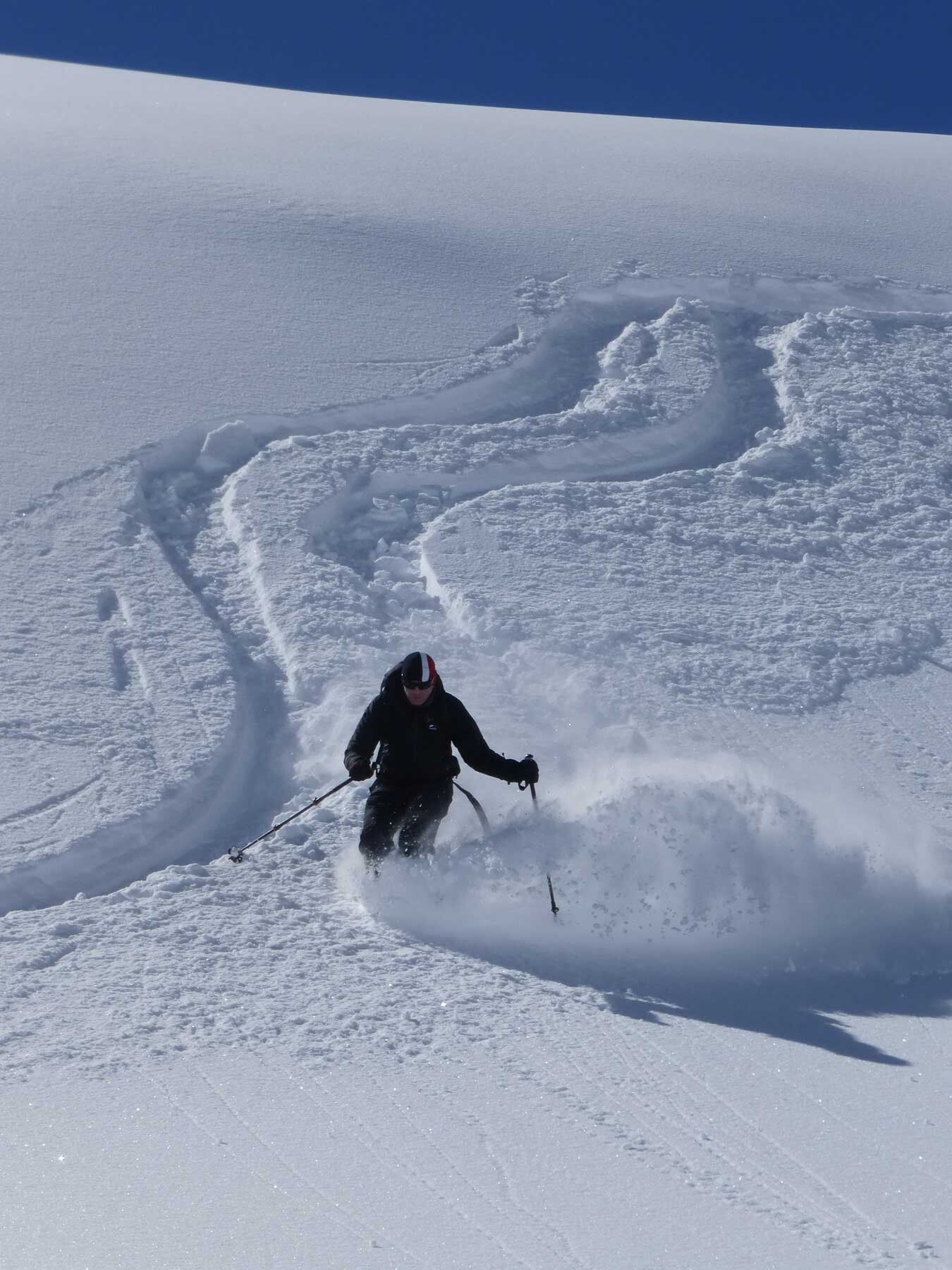
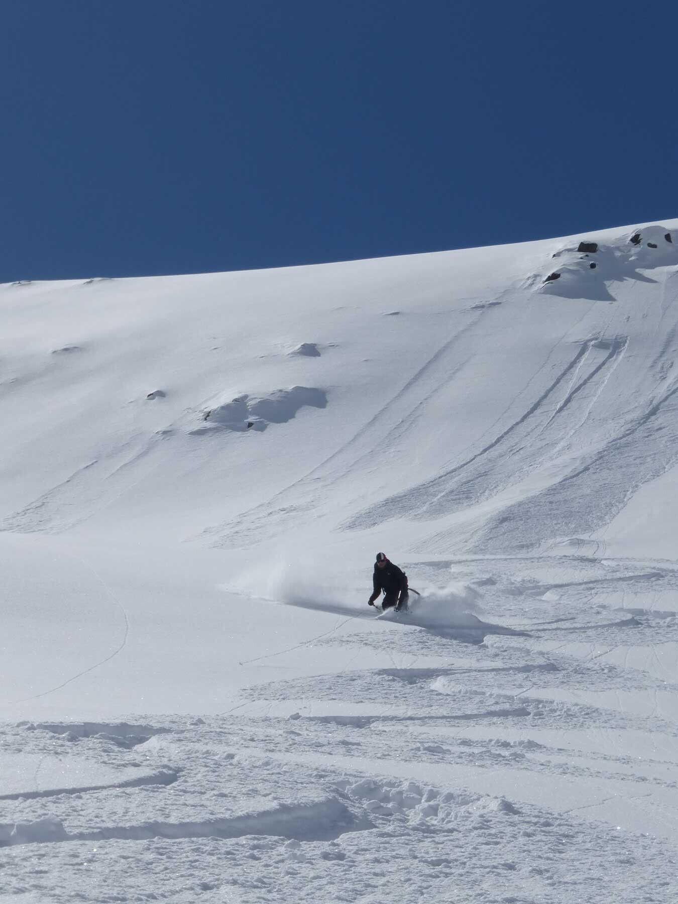
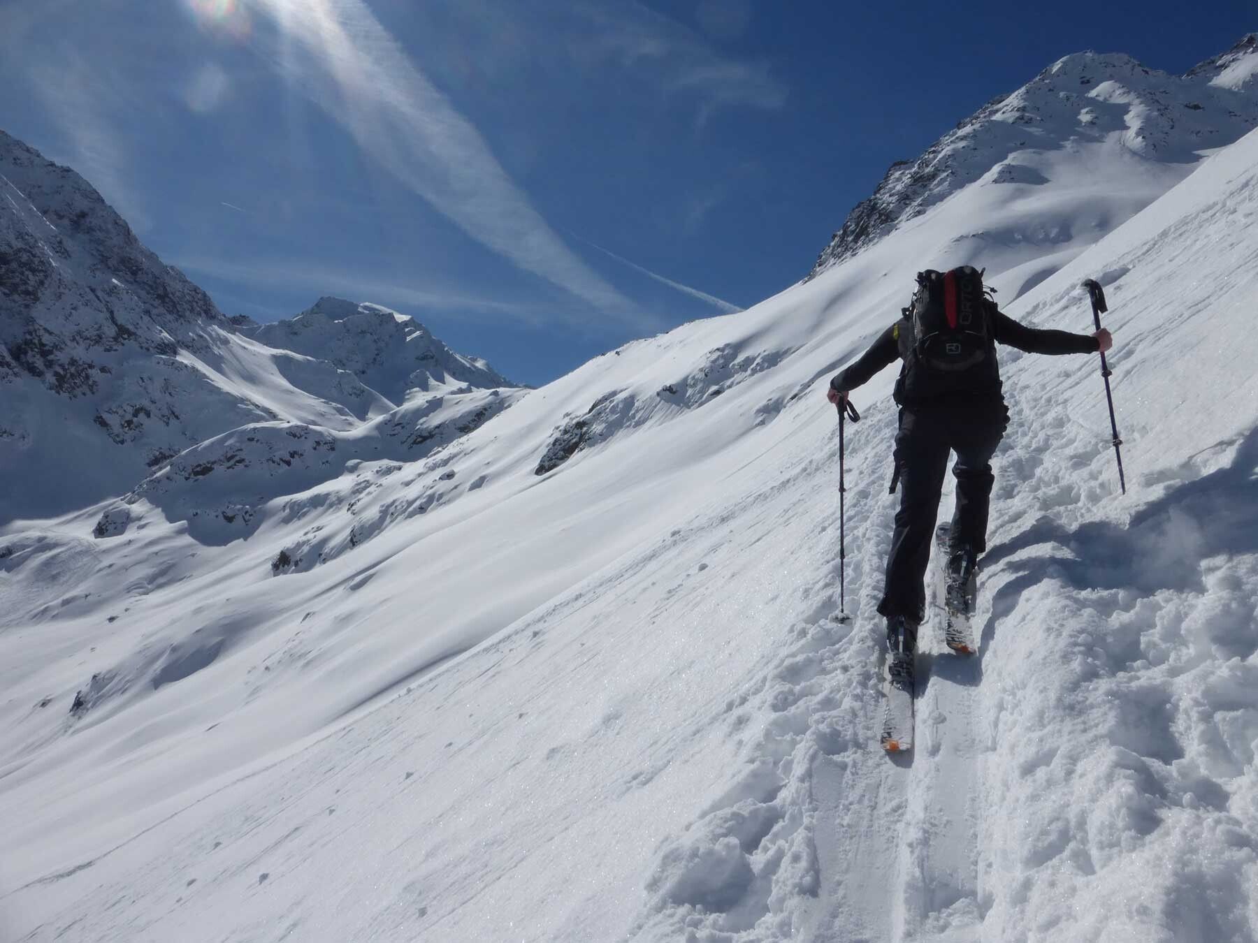
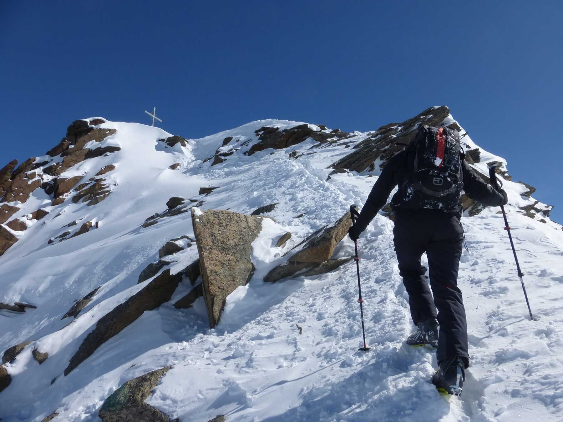
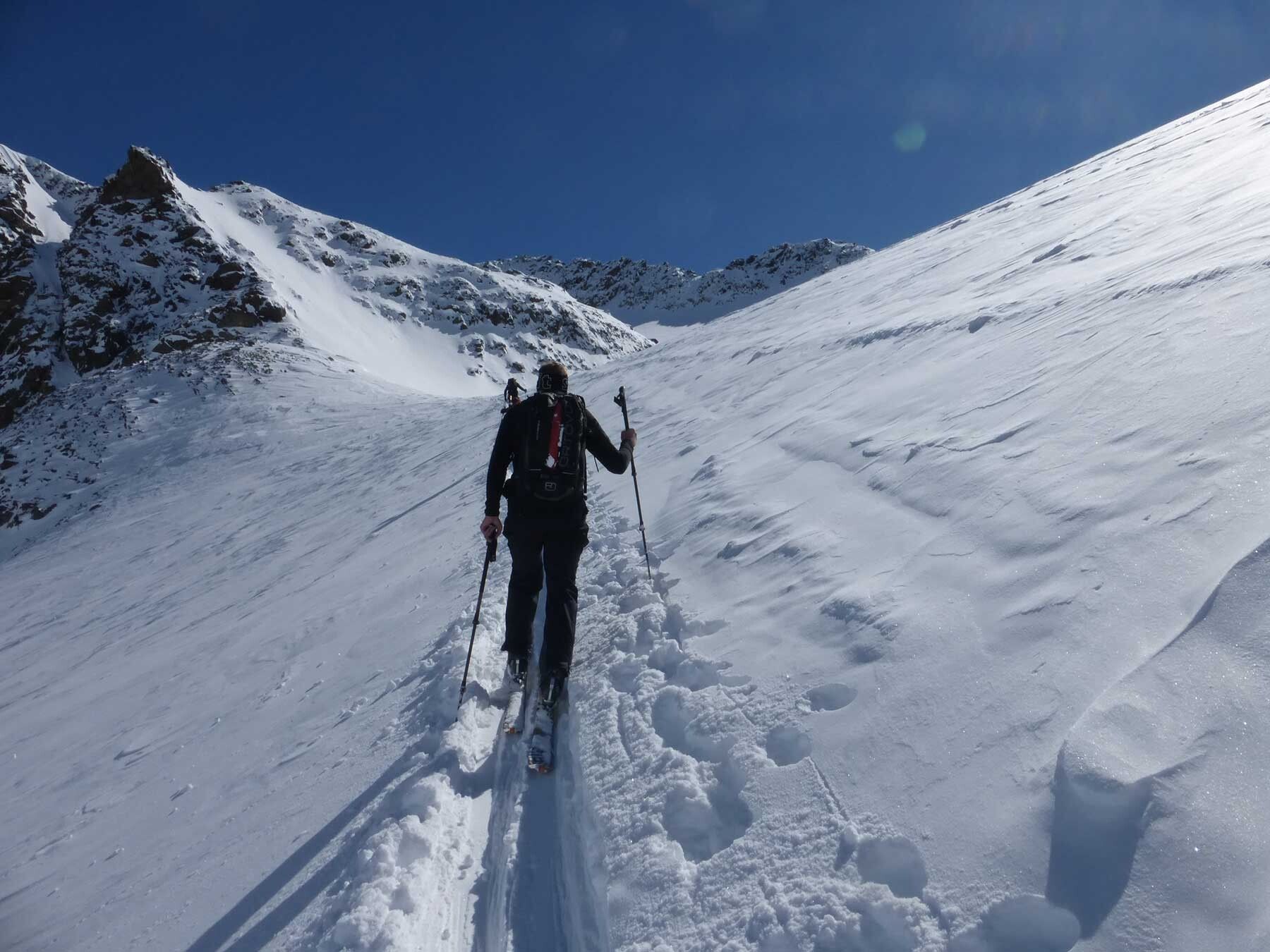
From the parking lot at the end of Gries, follow the path into the Sulztal. For the ascent to the Amberger Hut, about 2 hours of walking time must be planned. The first 500 meters of elevation are overcome here. From the hut, the way continues further into the valley (Sulze). The path then leads west over a steep step into the Roßkar, divided by a ridge. Here you can choose whether to use the left or right hollow for the ascent. You have now already reached an altitude of 2700m. It continues again over two steep steps southwards to the Roßkarferner and over a small glacier remnant before it arrives in a wide right curve to the southern summit approach of the Kuhscheibe. The last meters to the summit are managed with the skis on the back.
Public transport
Travel comfortably and safely by train. The final stop or exit point is ÖTZTAL station. Afterwards, travel conveniently and quickly with public bus services or local taxi companies through the entire valley to your desired destination. Current bus schedules are available at: fahrplan.vvt.at
Parking options:End of town Gries (paid)
