
Opening hours:Open today
Place:Vent
:Alpine pasture / hut / mountain restaurant
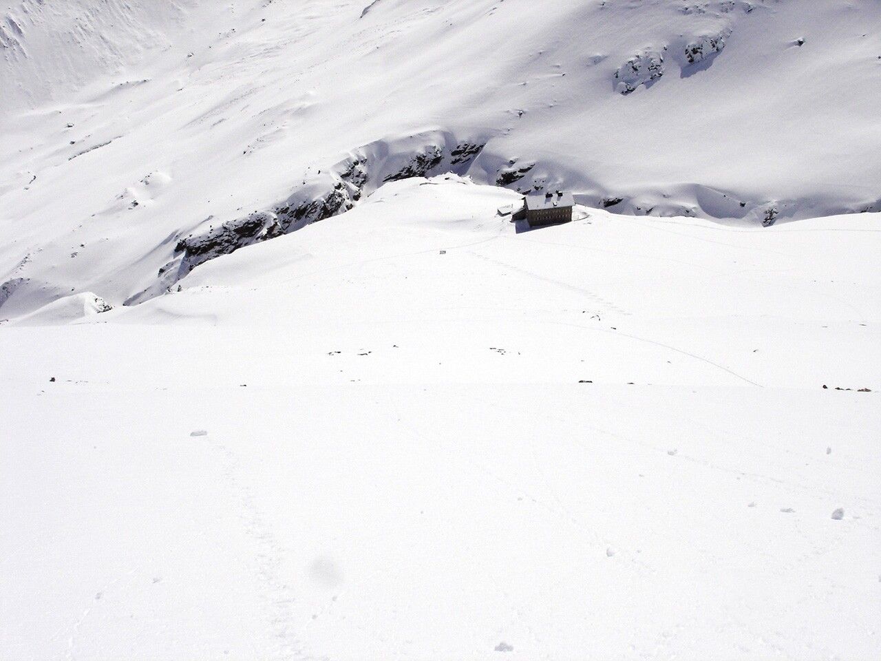
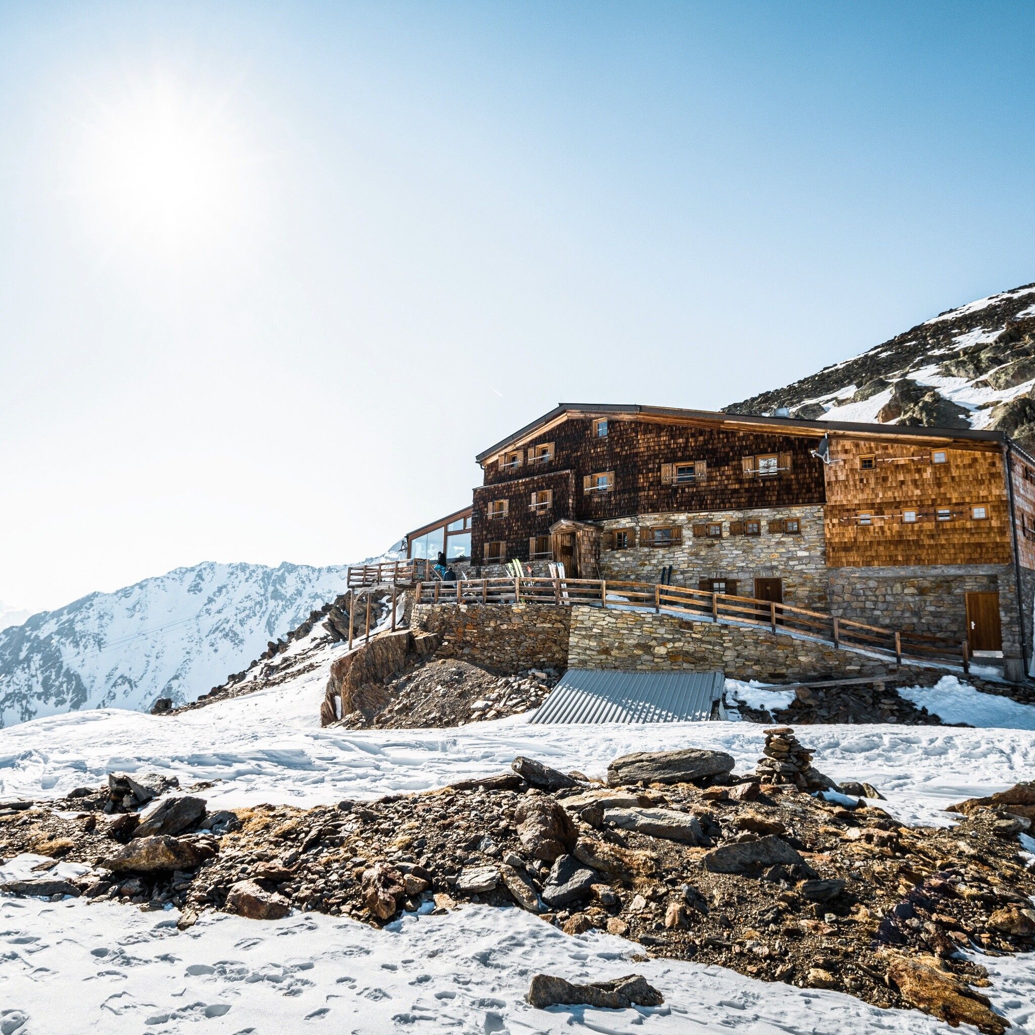
MARTIN BUSCH HUT -> Similaun -> SIMILAUN HUT
Avalanche danger scale
1 (LOW)Avalanche release is only possible with heavy additional load on very few extreme steep slopes. No spontaneous avalanches (so-called slides) are expected. Generally safe conditions.
2 (MODERATE)Avalanche release is likely with heavy additional load especially on the indicated steep slopes. Larger avalanches are not expected. The snowpack is generally well consolidated except at some steep slopes. Careful route selection for the indicated slopes and exposures.
3 (CONSIDERABLE)Avalanche release is already likely with little additional load mainly on the indicated steep slopes. Sometimes some medium, occasionally large avalanches are possible spontaneously. The snowpack is only moderately to weakly consolidated on many steep slopes. Experience in avalanche assessment is necessary. Avoid indicated slopes and exposures if possible.
4 (HIGH)Avalanche release is already possible with little additional load mainly on the indicated steep slopes. There are times when many medium and several large avalanches occur. The snowpack is weakly consolidated on many steep slopes. Route selection should be limited to moderately steep terrain and avalanche runout zones should be observed. Much experience in avalanche assessment is needed.
5 (VERY HIGH)Numerous large avalanches, even in moderately steep terrain, are expected spontaneously. At this warning level, no safe operation in ski areas is possible. The snowpack is generally weakly consolidated and unstable. Avoid routes is recommended.
See also under lawine.tirol.gv.at
Recommended ski touring equipment
The "normal ski touring equipment" consists of touring skis with touring bindings, telescopic poles, climbing skins, crampons, digital avalanche transceiver, avalanche shovel, avalanche probe, first aid kit, and a mobile phone. A "complete glacier equipment" consists of harness, two Prusik loops of different lengths or ascenders, two HMS carabiners, ice axe, crampons, and a rope. A backpack with appropriate contents should be carried, including change of clothes, sun protection, cold protection, food, and enough to drink! For hut overnight stays, do not forget hygiene articles and a hut sleeping bag!
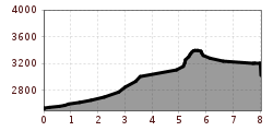
DIFFICULTY RATING
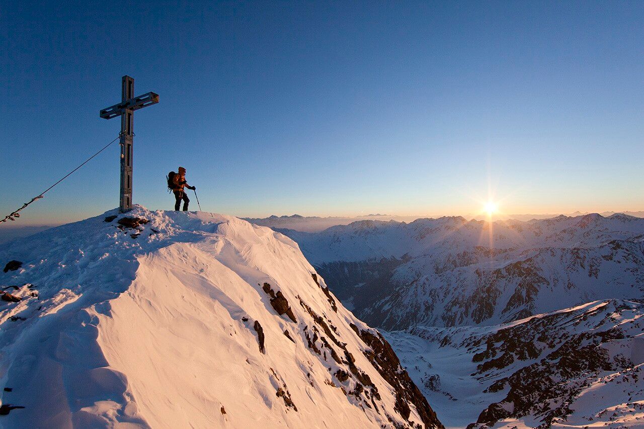
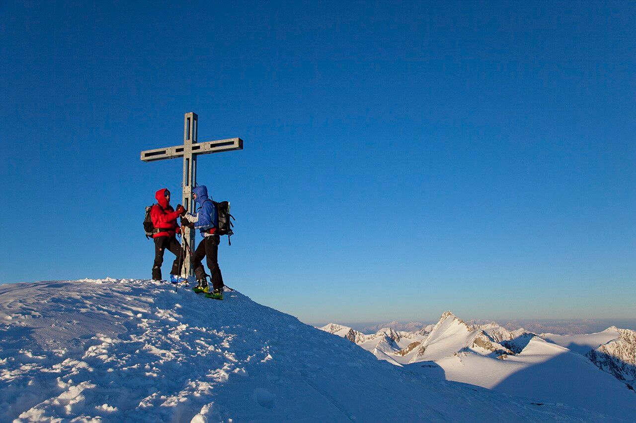
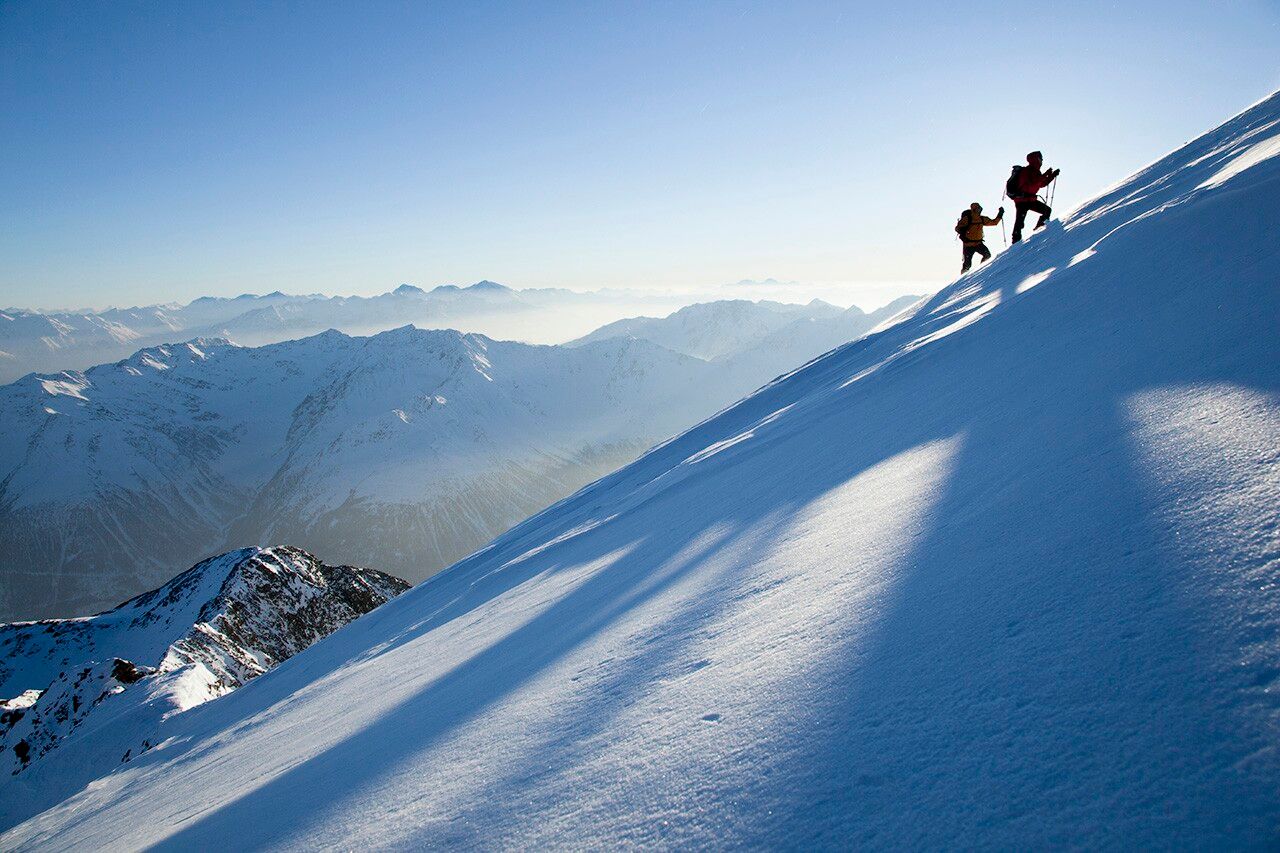
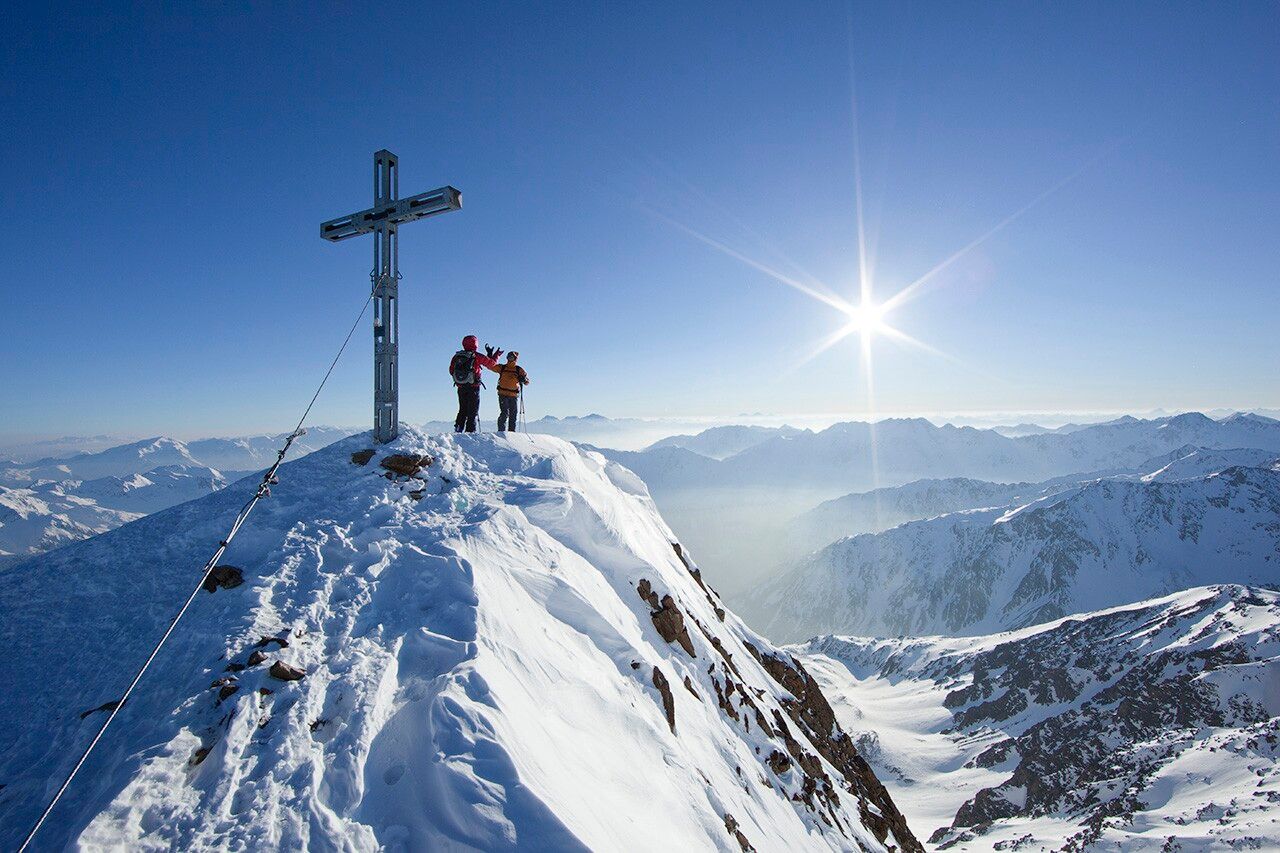
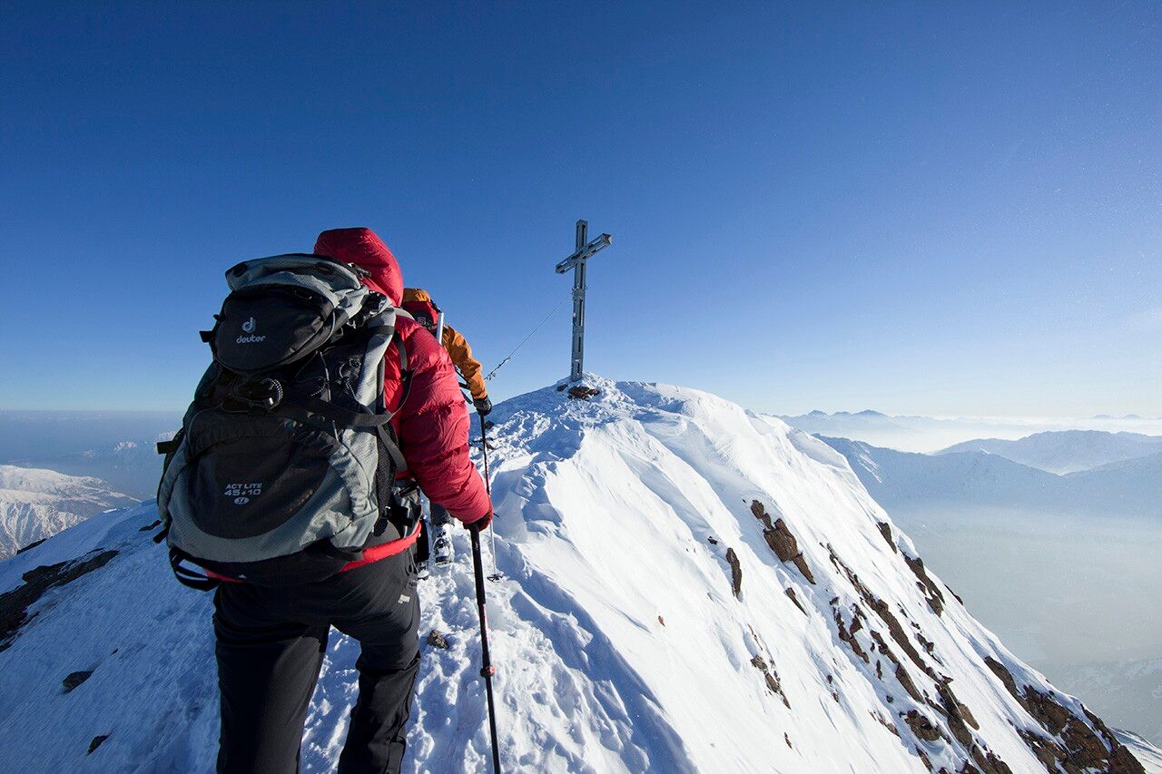
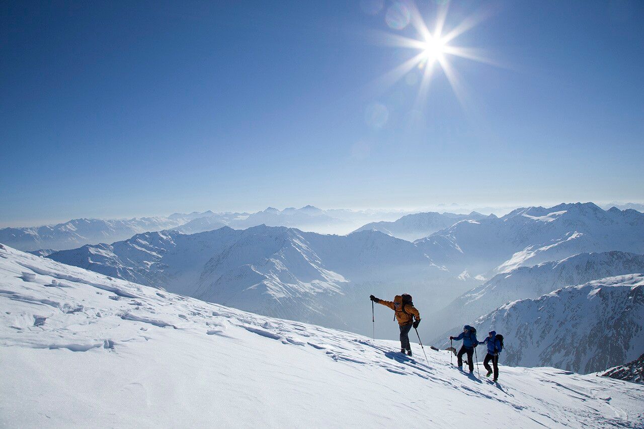
Ascent to the Similaun Hut (3,019 m) and to the Similaun (3,606 m)
ALTERNATIVE: ascent from the Martin Busch Hut to the Saykogel (3,355 m).
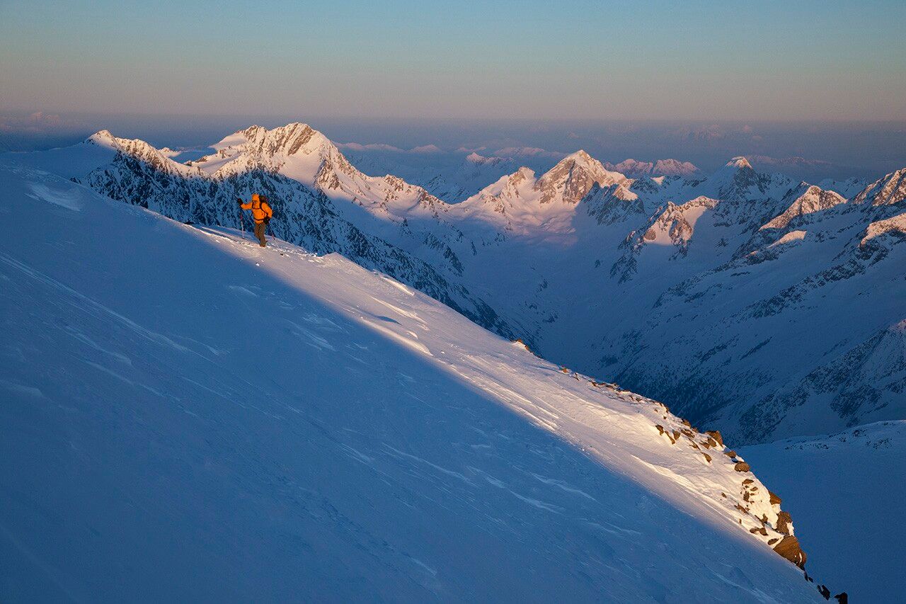
SURROUNDING PEAKS: Kreuzspitze (3,455 m), Hauslabkogel (3,402 m), Similaun (3,606 m), Hinter Schwarze (3,624 m), Saykogel (3,355 m), Finailspitze (3,514 m)
HUT CONNECTIONS: Similaun Hut (3,019 m), Hochjoch Hospitz (2,413 m), Hochwildehaus (2,866 m), Ramolhaus (3,005 m)
Travel comfortably and safely by train to the Ötztal railway station. The final stop or exit point is the ÖTZTAL station. Afterwards, you travel comfortably and quickly with public transport or local taxis through the entire valley to your desired destination! The current bus schedule is available at: http://fahrplan.vvt.at
Paid parking in the mountaineering village of Vent:
At the entrance to the village (summer only)
At the valley station of the Wildspitze double chairlift (DSB Wildspitze)
At the Mountaineers’ Chapel
Further information can be found here:
