
Opening hours:Open today
Place:Brandenberg
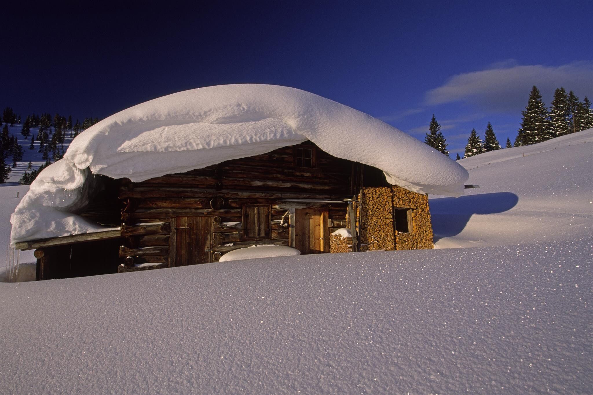
:Alpine pasture / hut / mountain restaurant
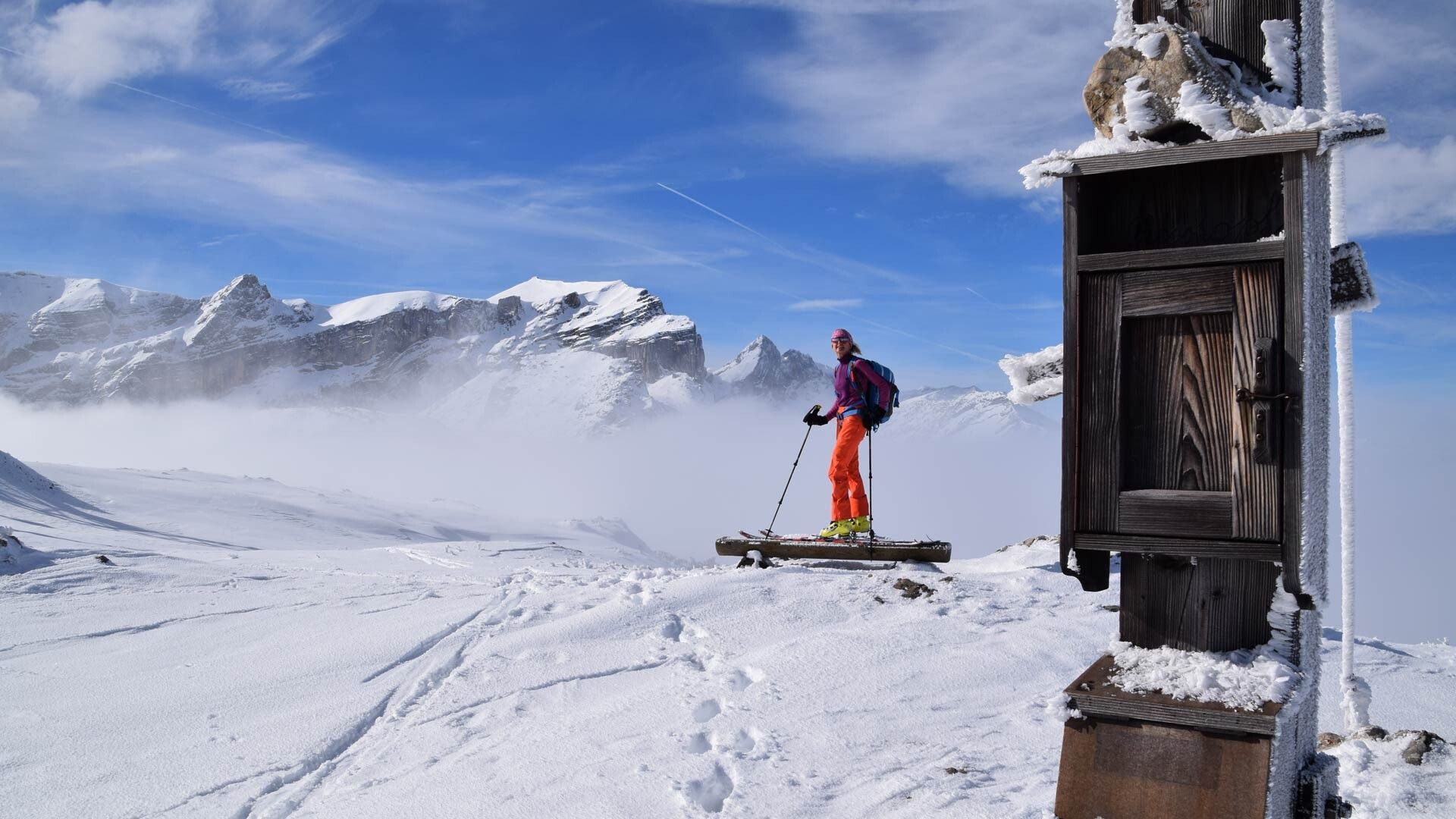
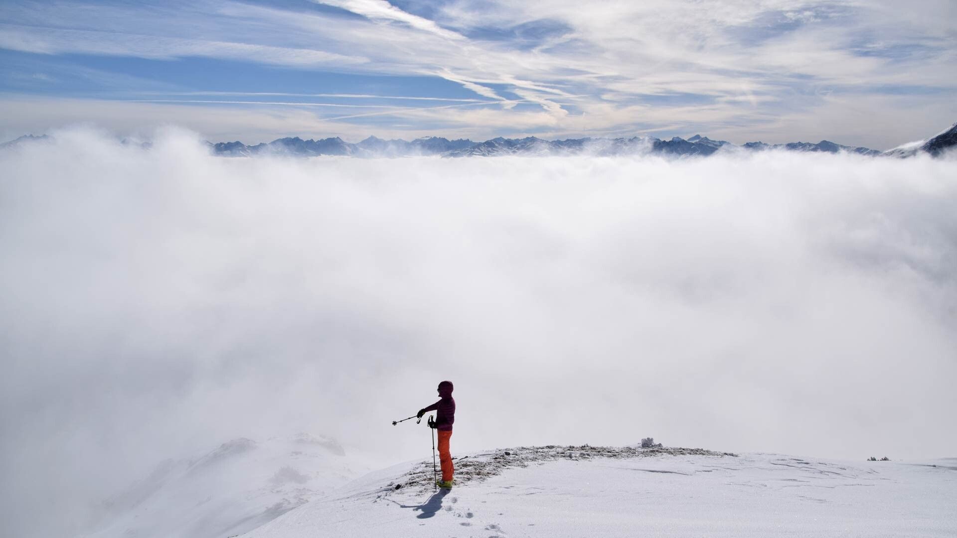
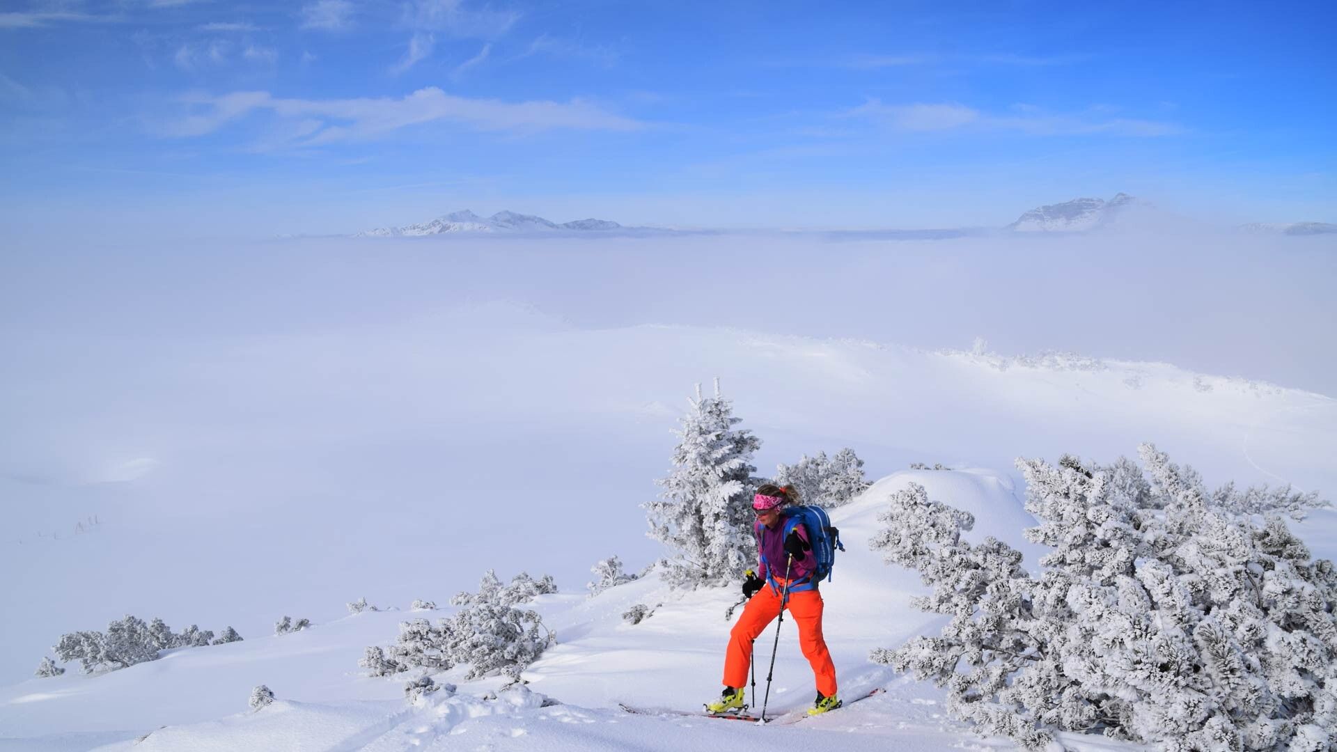
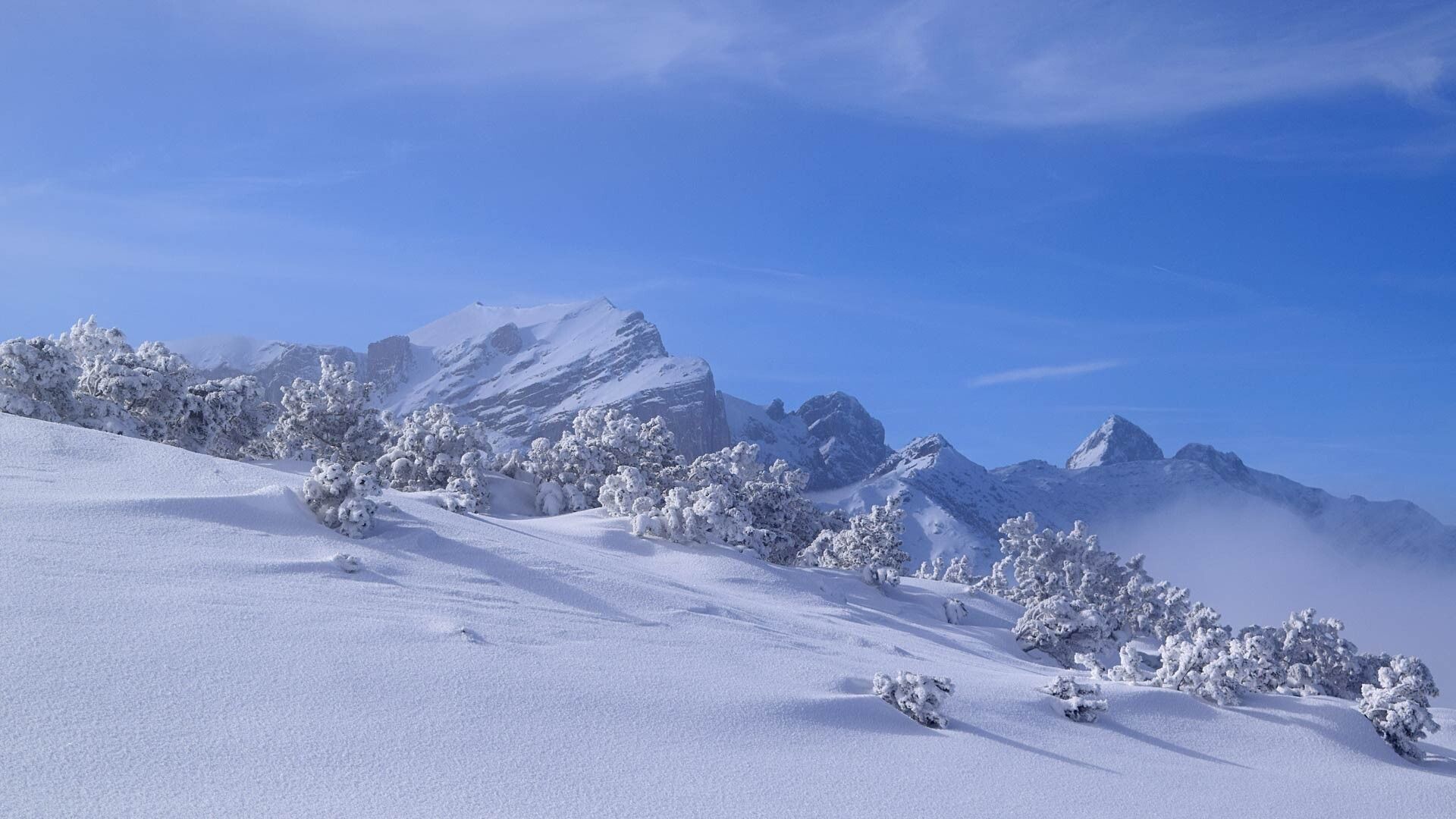
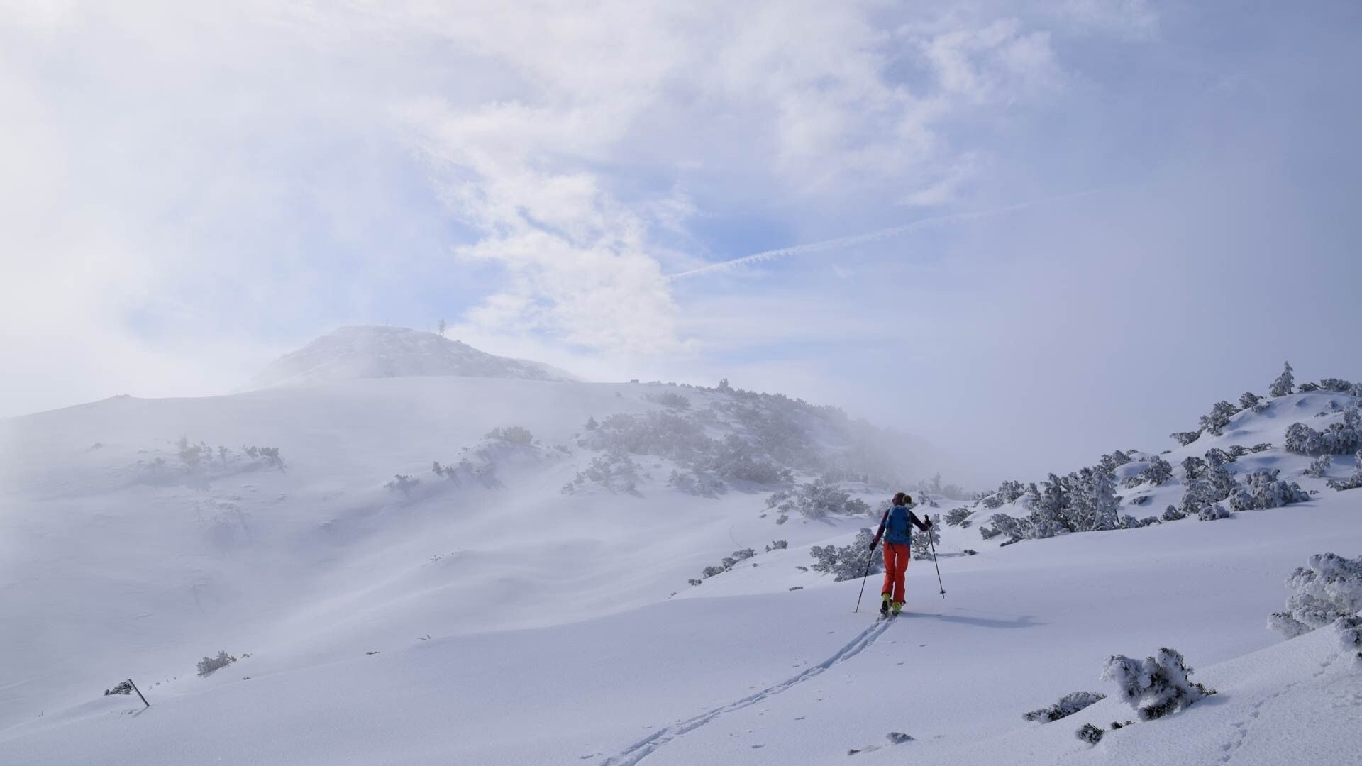
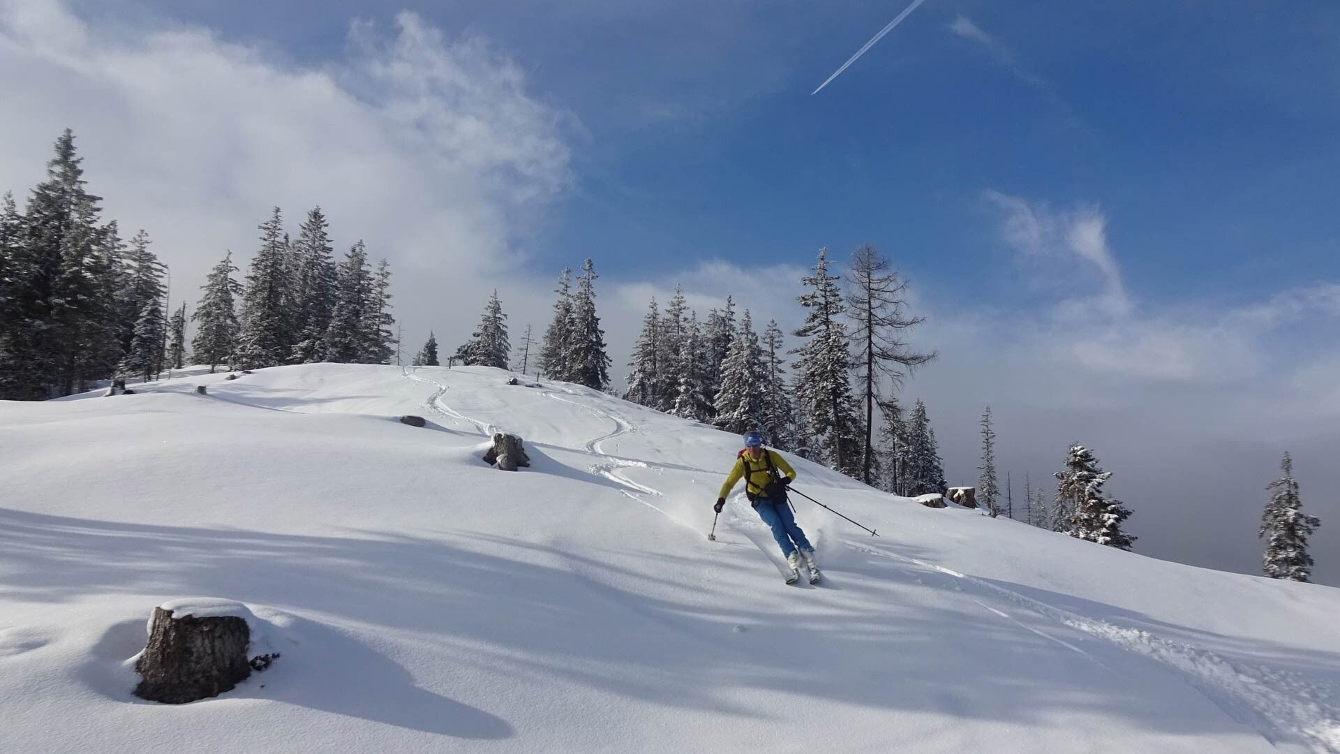
Beautiful route past snow-covered alpine pastures to the Roßkogel viewpoint
Pay attention to the current avalanche situation on every ski tour.
Avalanche Warning Service Tyrol
Ski touring equipment, sufficient drinks and provisions
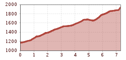
Hiking time: 3 h. – 800 hm to Roßkogel
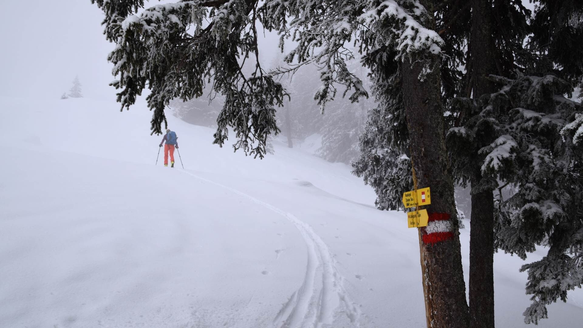
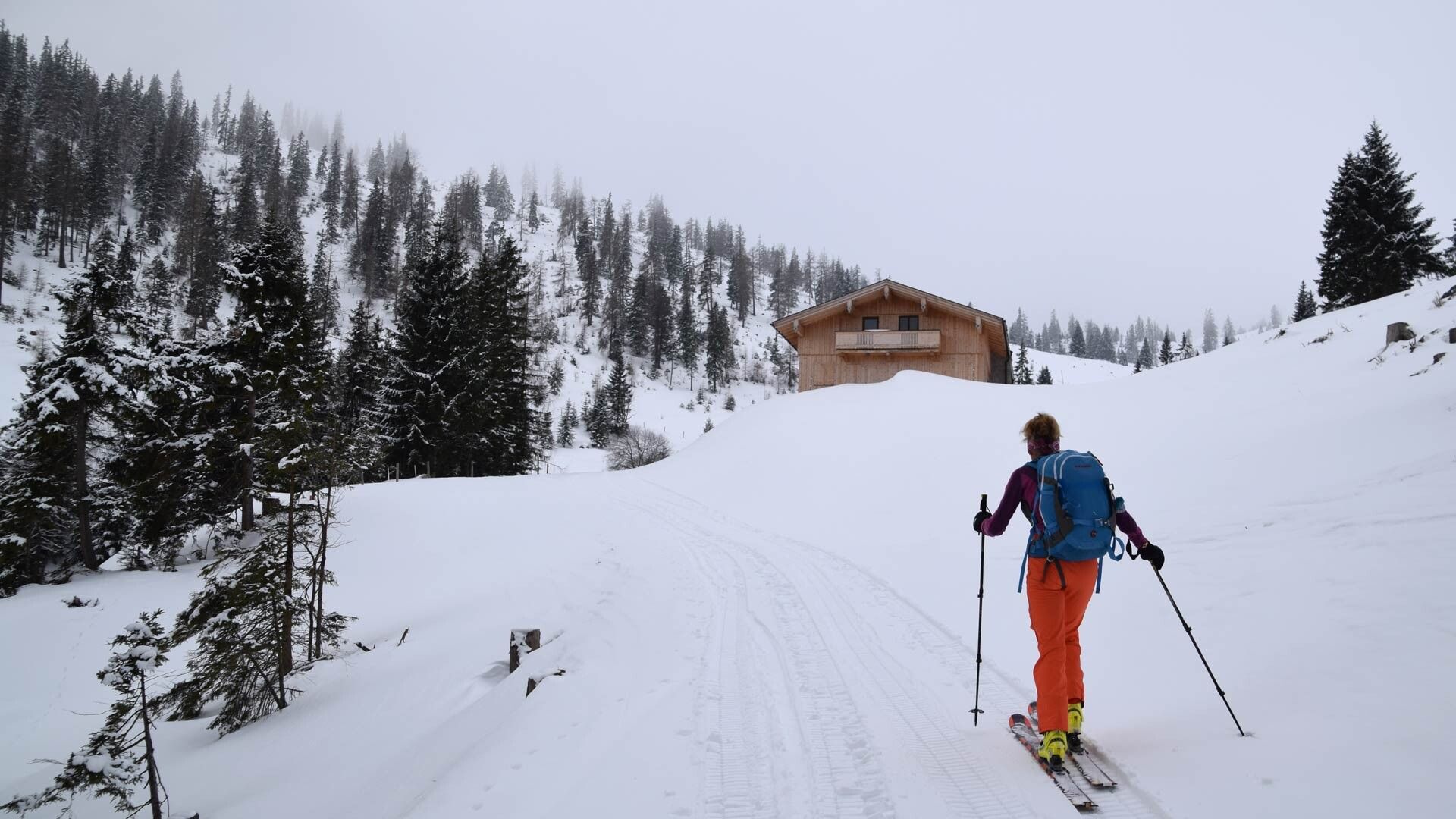
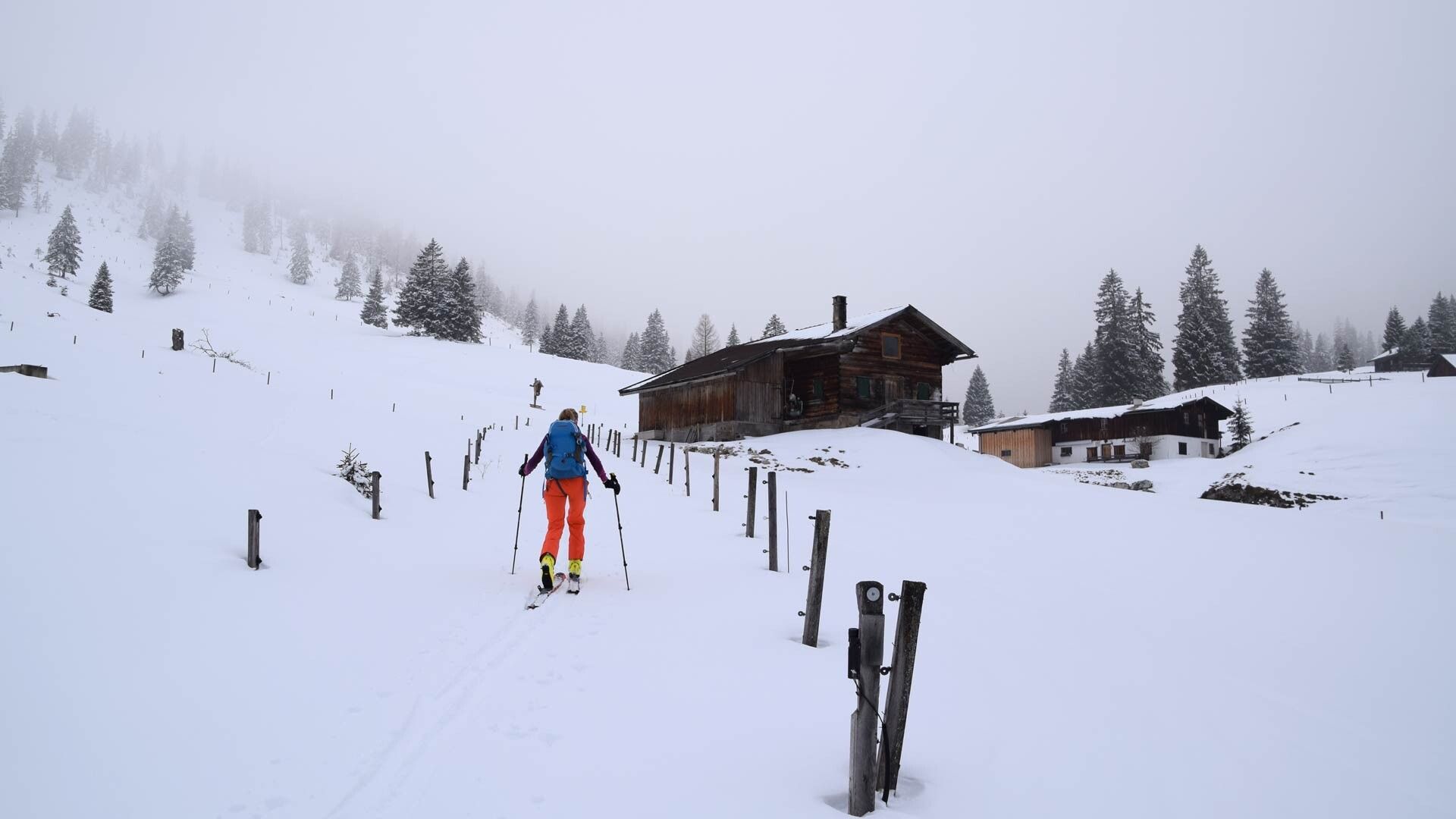
First along the forest road towards Eilalm, turn right at a gravel widening (summer parking) and continue across meadows to Eilalm, from here left over the meadow to Anderl's hut (only open in summer) and continue over the forest road to Labeggalm. Here leave the forest road and follow the signposts "Kreuzein". From the Kreuzein alpine pastures it goes steeply upwards to the Roßwies and then gently uphill to the "Roßkogel"
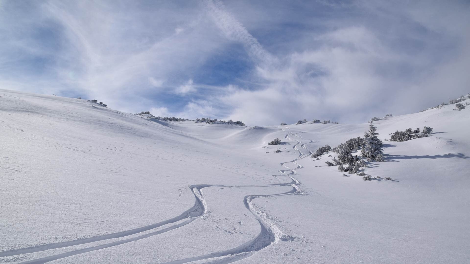
Descent: same as ascent – Warning: a descent to the Sonnwendjoch mountain hut is not recommended with skis – avalanche danger!
not possible
Parking/starting point: directly behind the farm "Wimm" above Aschau/Brandenberg (paid/no liability)
