
Difficulty:medium
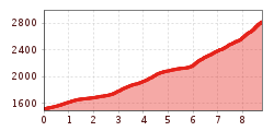
Length:3.1 kmDuration:2:00 hElevation uphill:581 m
Schartlkopf (Samerschlag)
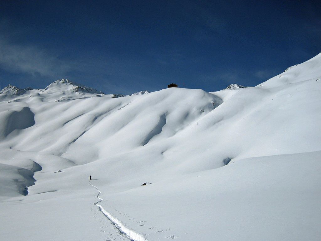
This moderately difficult ski tour leads steadily uphill through the long Gleirschtal valley - past the Gleirschalm and along a stream - first through forest, then into open terrain. After the long but scenic approach, a varied ski tour terrain with several options to the summit opens up behind the Pforzheimer Hütte. Open slopes, wide open spaces and exciting route variations make this tour particularly varied and rewarding for experienced ski tourers.

