
Opening hours:Open today
Place:Längenfeld
:Alpine pasture / hut / mountain restaurant
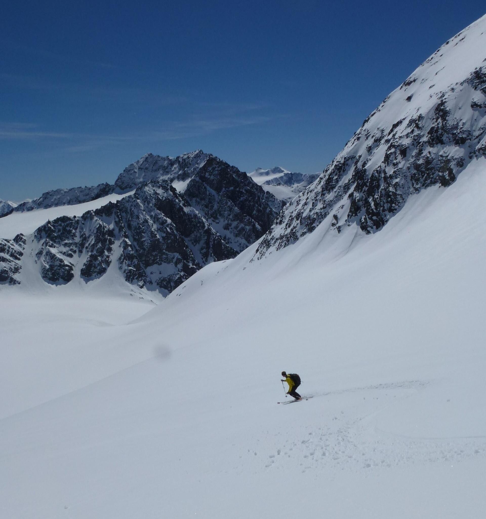
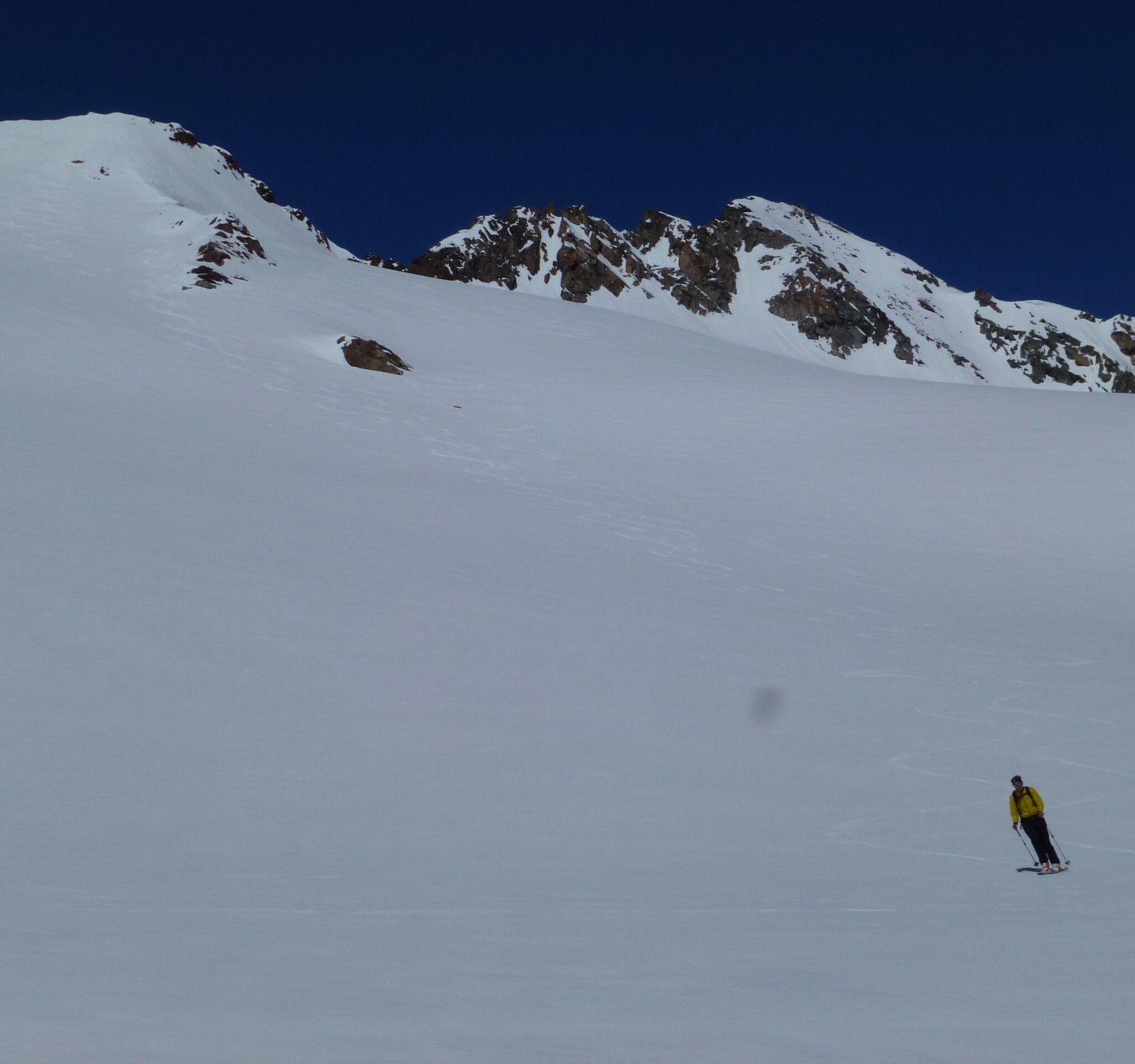
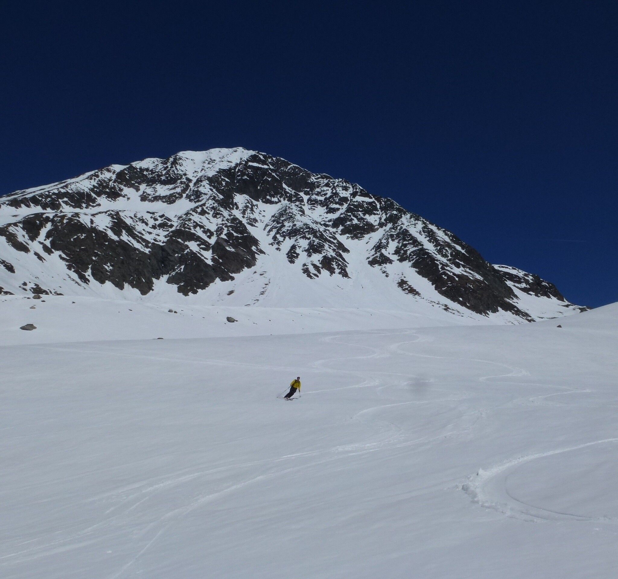
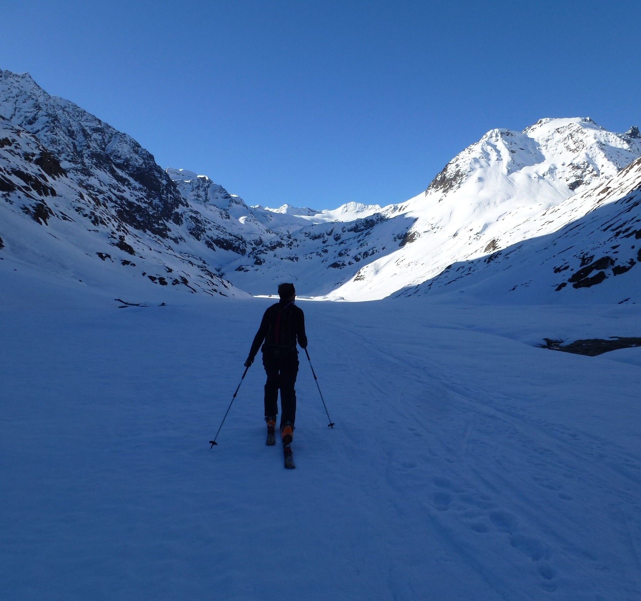
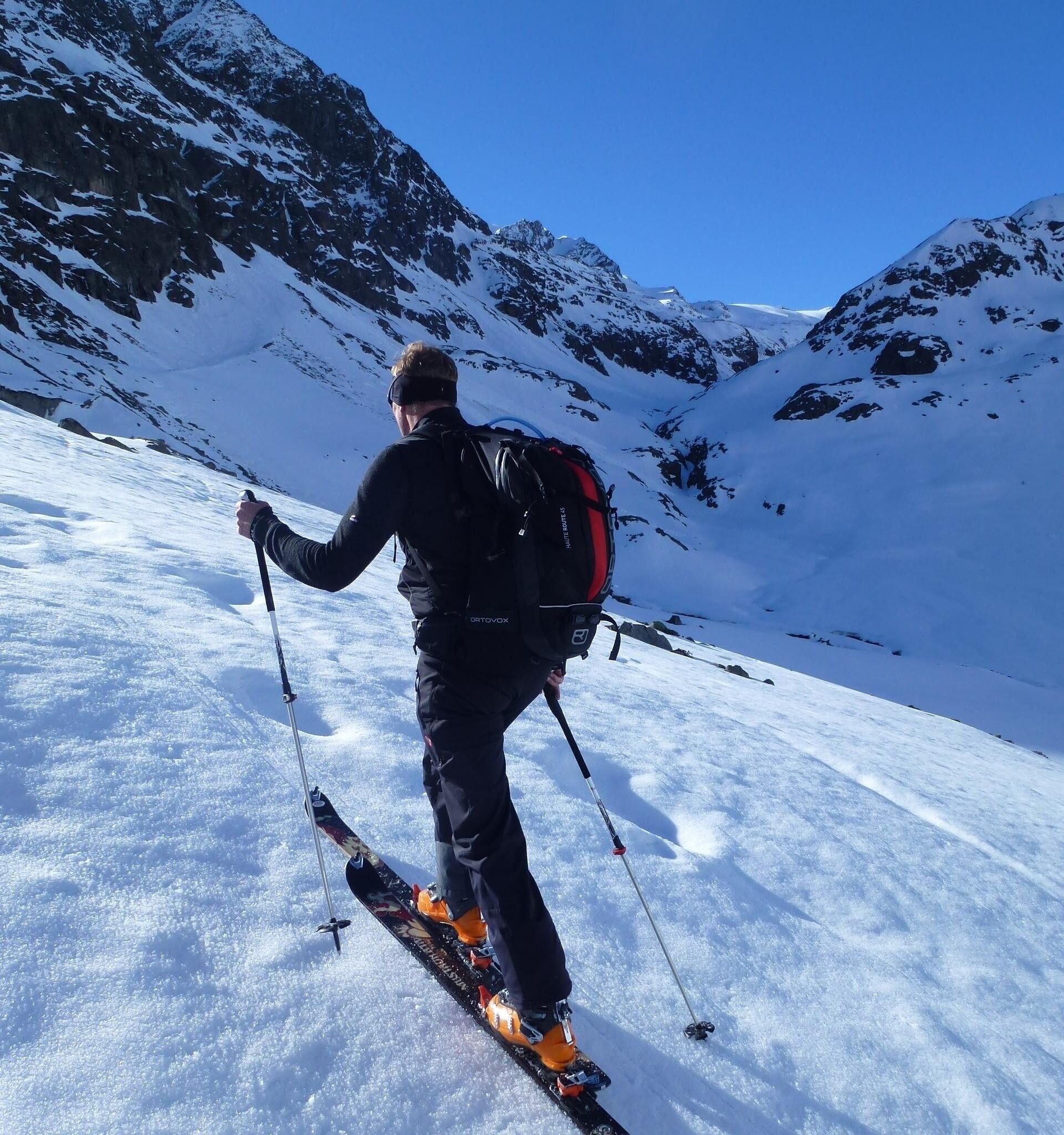
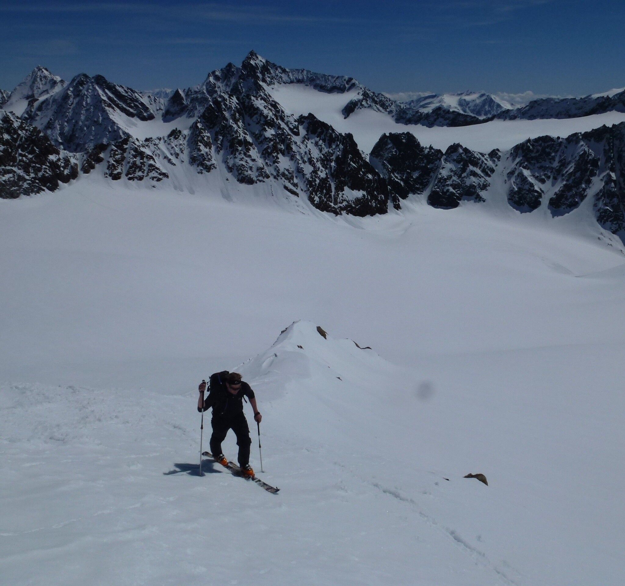
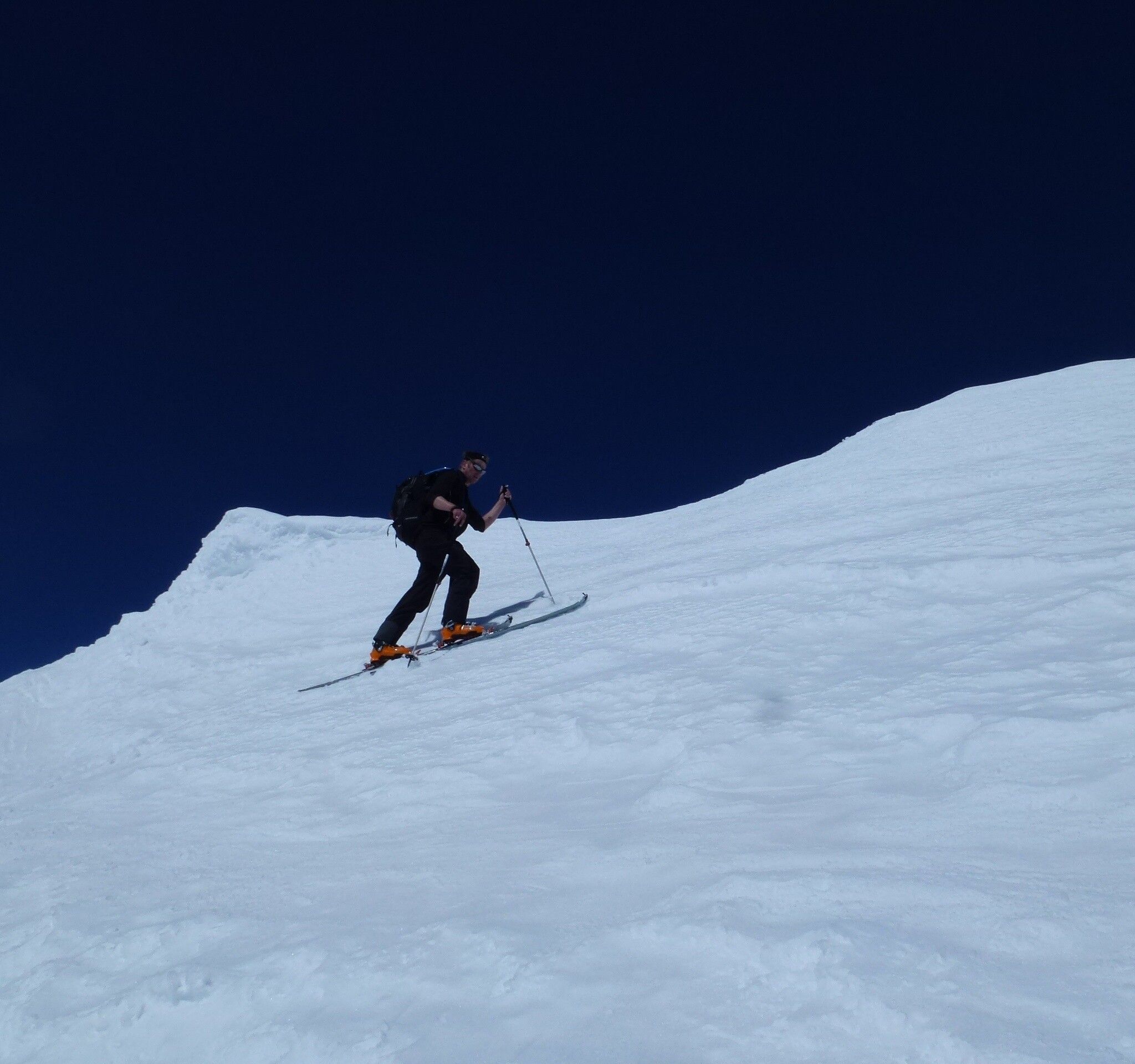
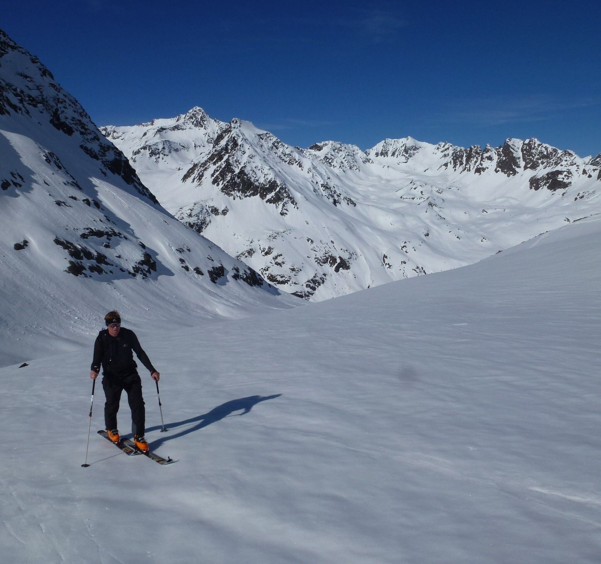
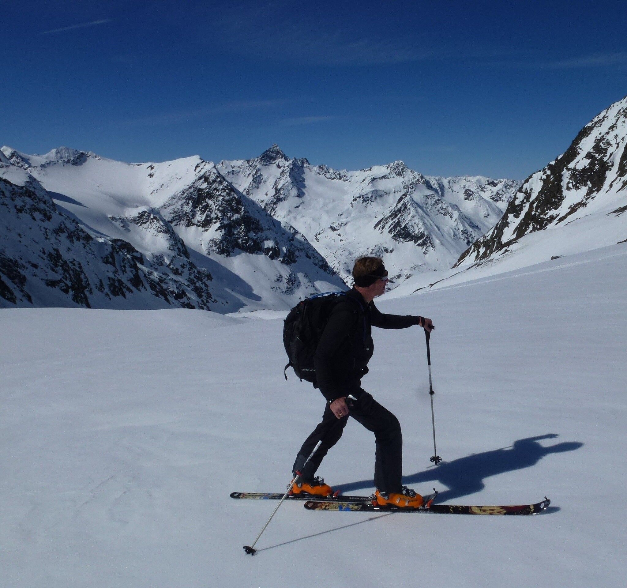
AMBERGER HUT -> Schwarzenbergjoch -> SCHRANKARKOPF
Safety notice
Please observe the current snow and avalanche report for the coming days: https://lawinen.report/bulletin/latest
Avalanche danger scale
1 (LOW) An avalanche release is only possible with a large additional load on very few, extreme steep slopes. No spontaneous avalanches (so-called slides) are expected. Generally safe conditions.
2 (MODERATE) An avalanche release is likely with a large additional load especially on the indicated steep slopes. Larger avalanches are not expected. The snowpack is generally well consolidated, except at some steep slopes. Careful route choice at the indicated steep slopes and slope exposures.
3 (CONSIDERABLE) An avalanche release is already likely at a low additional load especially on the indicated steep slopes. Occasionally, some medium, occasionally also large avalanches are possible spontaneously. The snowpack is only moderately to weakly consolidated on many steep slopes. Experience in avalanche assessment is necessary. Avoid the indicated steep slopes and slope exposures as much as possible.
4 (HIGH) An avalanche release is already possible at a low additional load especially on the indicated steep slopes. Occasionally, many medium and sometimes large avalanches occur. On many steep slopes, the snowpack is only weakly consolidated. Route selection should be limited to moderately steep terrain and avalanche runout areas must be considered. Much experience in avalanche assessment is necessary.
5 (VERY HIGH) Numerous large avalanches, even in moderately steep terrain, are expected spontaneously. At this warning level, safe operation is no longer possible in ski areas. The snowpack is generally weakly consolidated and unstable. Avoid tours is recommended.
See also at lawine.tirol.gv.at
Recommended ski touring equipment
The "normal ski touring equipment" consists of touring skis with touring bindings, telescopic poles, climbing skins, crampons, digital avalanche transceiver, avalanche shovel, avalanche probe, first aid kit, and a mobile phone. A "complete glacier equipment" consists of harness, two differently sized prusik loops or ascenders, two HMS carabiners, ice axe, crampons, and a rope. A backpack with appropriate contents must be carried, including spare clothing, sun protection, cold protection, provisions, and enough to drink! For hut overnight stays, do not forget hygiene articles and a hut sleeping bag!
DIFFICULTY RATING
Easy: Easy, short to moderately long routes with ascents not exceeding 25° or only briefly.
Medium: Medium difficulty, moderately long to long routes with ascents not exceeding 35° or only briefly.
Difficult: Difficult, long to very long routes with ascents reaching 40° or more, and climbing sections up to grade II (UIAA).
The Schrankarkopf is the easiest and safest tour destination to reach in the Schwarzenbergferner catchment area. From the "Sulze" heading east, the Schwarzenbergferner glacier is reached over a terrain step with less than 30° inclination. During the ascent to Schwarzenbergkar up to the tongue of the Schwarzenbergferner, one stays between the two 1850m lateral moraines. This section is still feasible even under somewhat tricky avalanche conditions. This relatively gently inclined terrain continues on the Schwarzenbergferner. Moreover, the glacier does not show large crevasse zones. Accordingly, under favorable snow and avalanche conditions, one can reach quite safely and without problems the foot of the east face of the Schrankarkopf, which then steepens up to 40°.
Travel comfortably and safely by train. The final stop or exit point is ÖTZTAL train station. Afterwards, you can conveniently and quickly travel by public transport or local taxis through the entire valley to your desired destination. The current bus schedule is available at: fahrplan.vvt.at
Following parking options are available in Gries:
Gries at the end of the village – paid parking
