Skitour Steinbergstein

Westendorf / Kitzbühel Alps
Route length: 5.5 km
Duration: 3:00 h

Ski tour is a classic in the Windau Valley!

Tour information

  • Length: 5.5 km
  • Duration: 3:00 h
  • Elevation uphill:1,000 hm
  • Elevation downhill:0 hm
Highest point1,925 m

Starting point

GH Steinberg im Windautal

Finishing point

Steinbergstein
  • Fitness level 4 / 6
  • Technique 3 / 6

Best time of year

  • January
  • February
  • March
  • April
  • May
  • June
  • July
  • August
  • September
  • October
  • November
  • December

Equipment

Alpine winter equipment
When skiing off-piste, please always carry the recommended emergency equipment with you – the following items per person:
1. Avalanche transceiver (LVS device) – switched on and worn on the body under the top layer of clothing
2. Avalanche probe (in your rucksack)
3. Avalanche shovel (in your rucksack)
Additionally recommended: mobile phone, navigation equipment, first aid kit, bivouac sack and possibly an airbag rucksack, additional thermal protection.

Translated with DeepL.com (free version)
Source: Kitzbüheler Alpen Management GmbH

Description

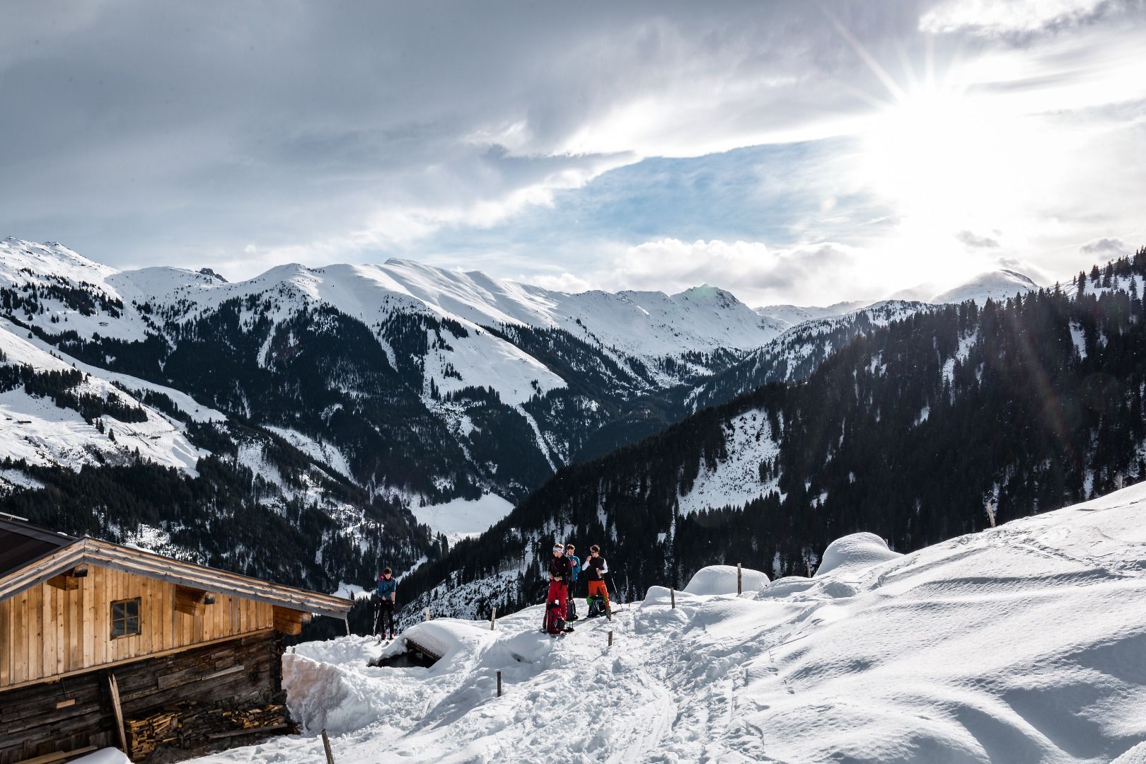
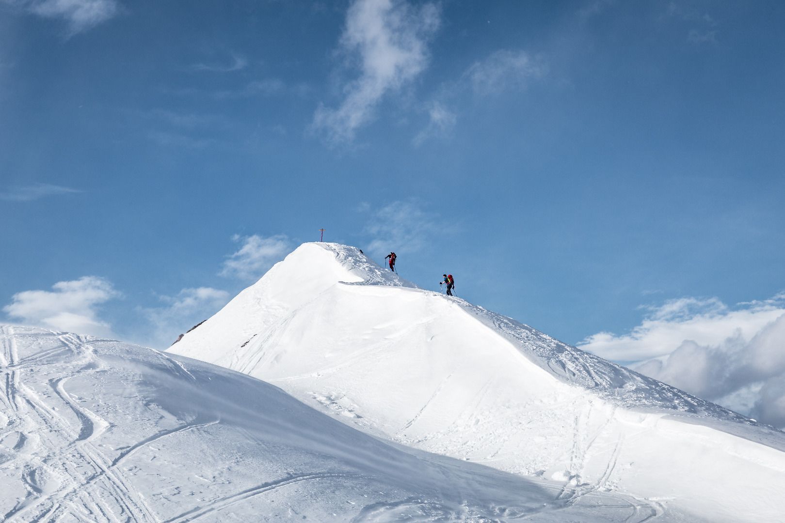
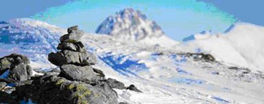
The tour begins at the Gasthaus Steinberg and we start walking into the valley along the banks of the Windauer Ache.  After a short ascent we turn off just before a bridge on the right (see the signpost “Steinbergstein”).  We ascend along the forest path, taking short cuts now and again across open snow-covered Alpine meadows and eventually we reach the lower and upper Steinberg mountain farm (1,418m).  After the farm, we soon reach a sparse forest, which we cross through, steadily uphill.  Then we reach the mountain ridge where a small “stone man” identifies the Steinberg.
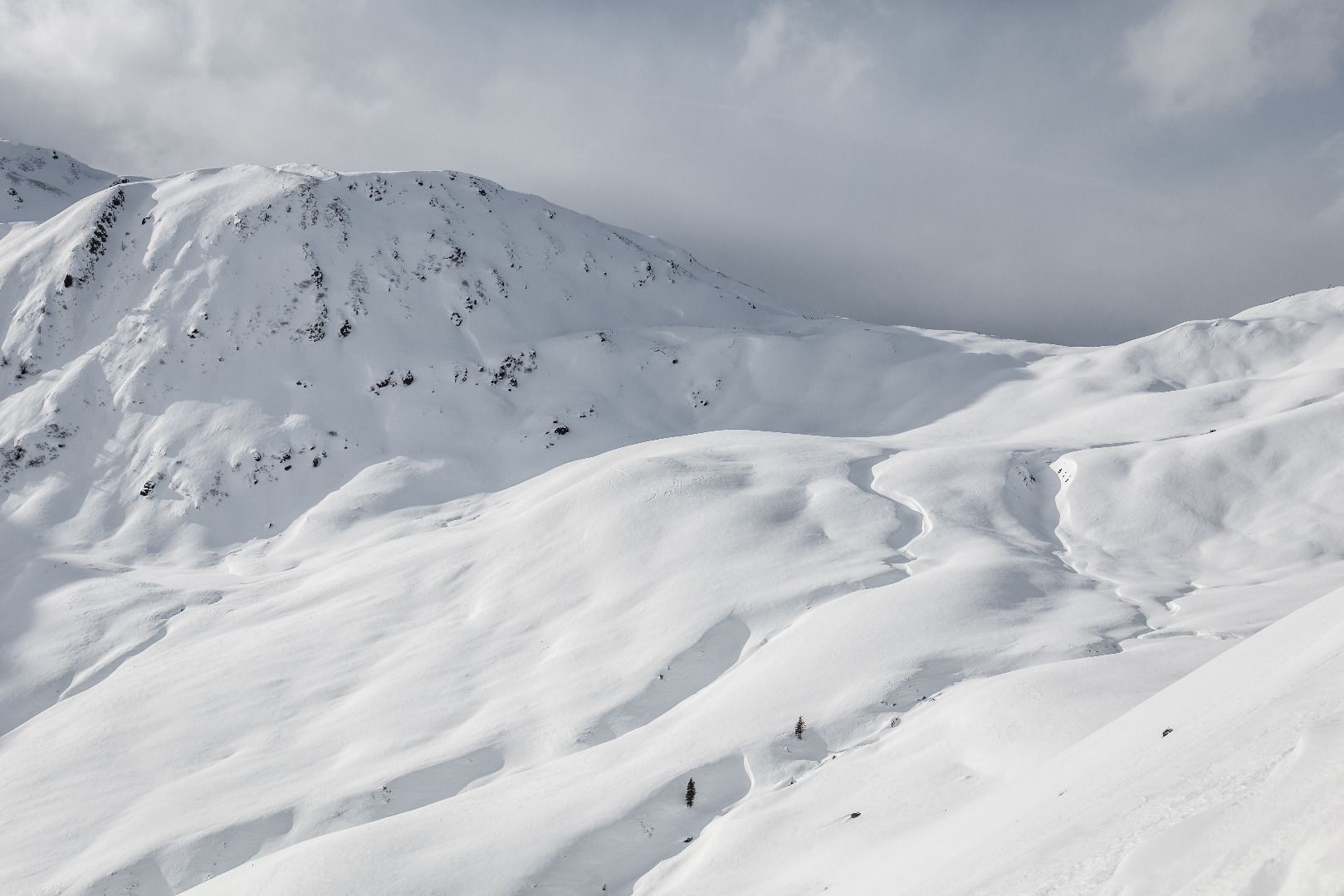
 
Descent:
Return along the same route
 

Nearby huts and mountain restaurants

Getting here

Newsletter

The mountain is calling? So does our newsletter!

In our monthly newsletter we reveal the best holiday tips for Tyrol.