
Öffnungszeiten:Heute geöffnet
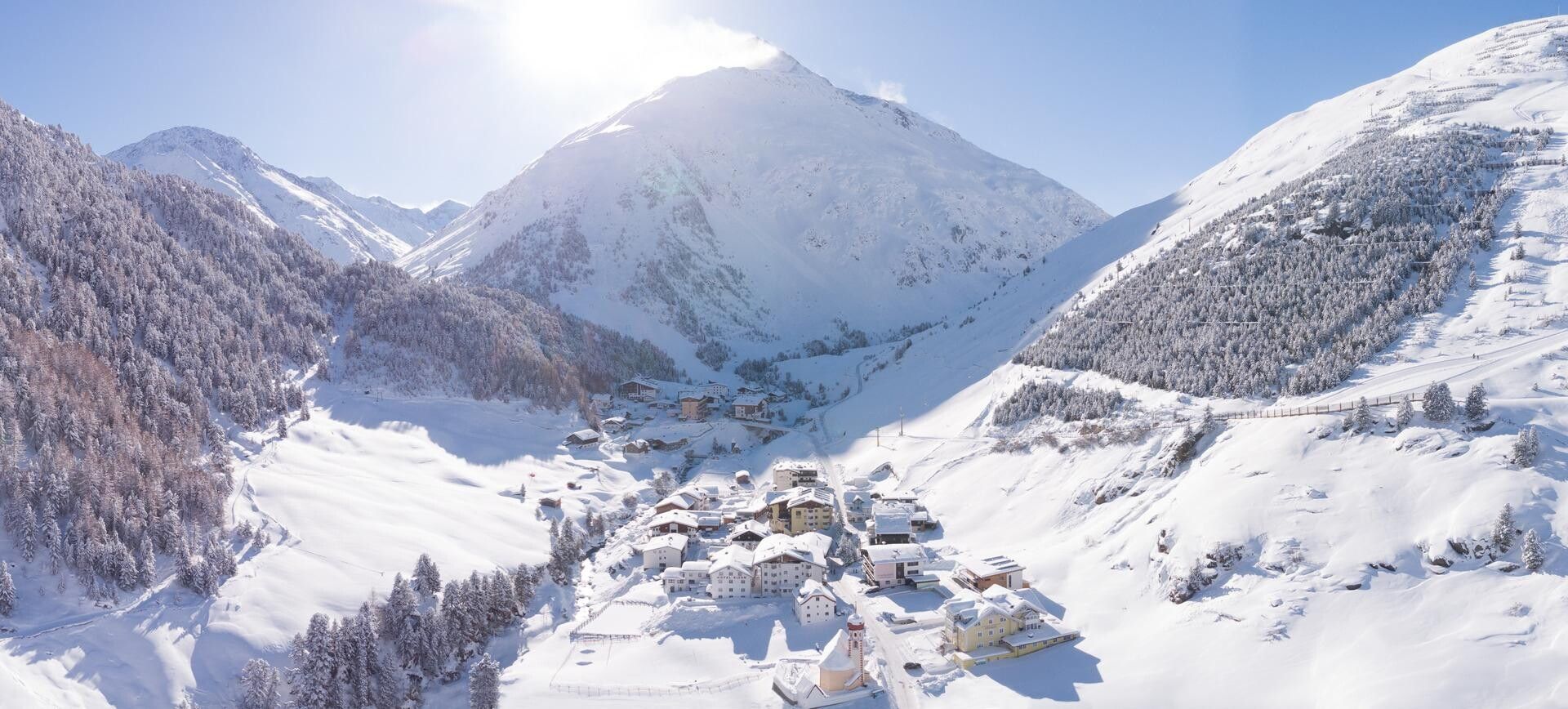
Ort:St.Leonhard im Pitztal
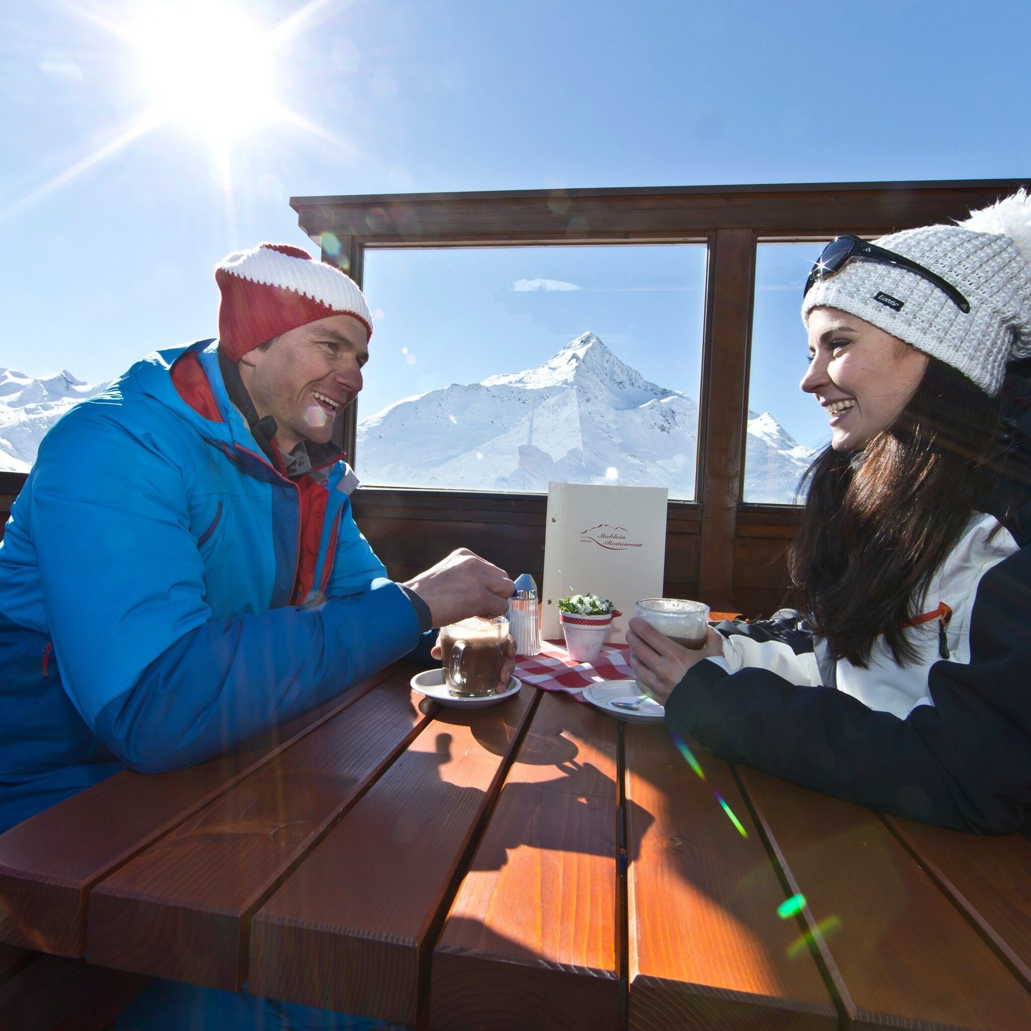
:Alpine pasture / hut / mountain restaurant
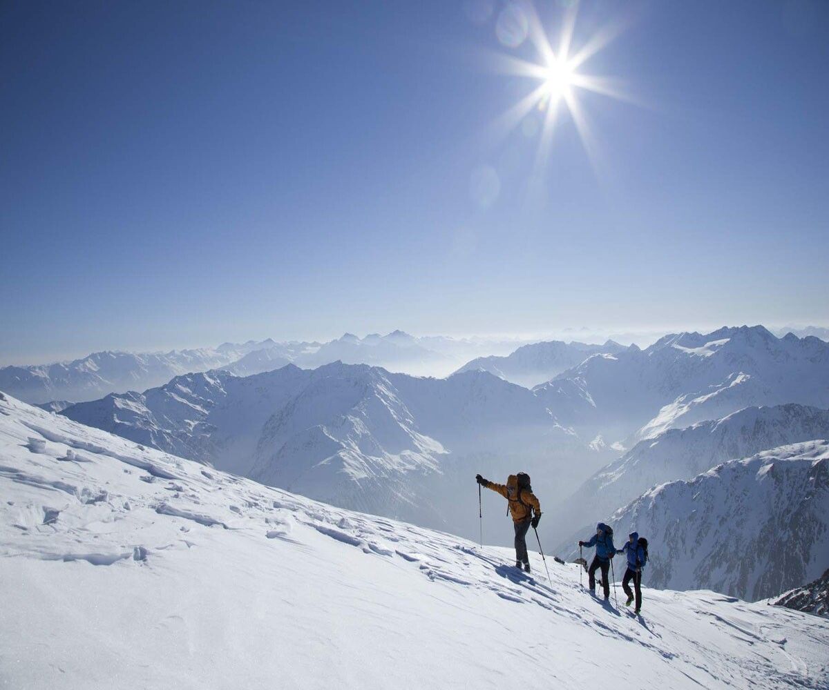
VENT -> TAUFKARKOGEL
Avalanche Danger Scale
1 (LOW)
An avalanche release is only possible with a large additional load on very few, extreme steep slopes. Spontaneous avalanches (so-called slides) are not to be expected. Generally safe conditions.
2 (MODERATE)
An avalanche release is likely with a large additional load especially on the specified steep slopes. Larger avalanches are not expected. The snowpack is generally well consolidated except on some steep slopes. Cautious route selection on the specified steep slopes and slope aspects.
3 (CONSIDERABLE)
An avalanche release is already likely with a small additional load, especially on the specified steep slopes. Occasional spontaneous medium-sized, occasionally also large avalanches are possible. The snowpack on many steep slopes is only moderately to weakly consolidated. Experience in avalanche assessment is necessary. Avoid specified steep slopes and slope aspects as much as possible.
4 (HIGH)
An avalanche release is already possible with a small additional load, especially on the specified steep slopes. Numerous medium and repeatedly large avalanches occur sporadically. On many steep slopes, the snowpack is only weakly consolidated. Route choice should be limited to moderately steep terrain and avalanche run-out areas must be observed. Extensive experience in avalanche assessment is necessary.
5 (VERY HIGH)
Numerous large avalanches are expected spontaneously, even in moderately steep terrain. At this warning level, safe operation in ski areas is no longer possible. The snowpack is generally weakly consolidated and unstable. Avoid touring.
See also under lawine.tirol.gv.at
Recommended Ski Touring Equipment
The 'normal ski touring equipment' consists of touring skis with touring bindings, telescopic poles, climbing skins, crampons, digital avalanche transceiver, avalanche shovel, avalanche probe, first aid kit, and a mobile phone. A 'complete glacier equipment' consists of harness, two differently sized prusik loops or ascending devices, two HMS carabiners, ice axe, crampons, and a rope. A backpack with appropriate contents should be carried, including spare clothes, sun protection, cold protection, provisions, and enough to drink! For hut overnight stays, do not forget hygiene items and a hut sleeping bag!
DIFFICULTY RATING
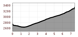
From Vent via the ski slope to the Stablein mountain station (lift support possible). After 250 meters altitude gain, cross northwards and climb steeply to the Weißbach. From the Taufkar, continue without difficulty to the Taufkarferner. Steep uphill to the Taufkarjoch (3,218 m). A change to the Mittelbergferner, which is crossed to the west below the Taufkarkogel. Across the flat glacier, head to the Rofenkarjoch (3,320 m), from where you can easily reach the summit via the northwestern ridge.
Travel comfortably and safely by train to the Ötztal train station. The final stop or exit point is the ÖTZTAL station. Afterwards, travel quickly and conveniently by public transport or local taxi companies through the entire valley to your desired destination! The current bus schedule can be found at: http://fahrplan.vvt.at
In the mountaineering village of Vent, the following parking options are available.
- In summer, in front of the village (parking meter, coins or EC card only) and at the base station of the chairlift (at the mountain railways ticket office)
- In winter, only at the base station of the chairlift.
Cost: € 5.00 per day/car
