Tschadinhorn 3.017m

Kals am Großglockner / Schober Group
Route length: 5.9 km
Duration: 5:00 h

Tschadinhorn 3.017m

Tour information

  • Length: 5.9 km
  • Duration: 5:00 h
  • Elevation uphill:1,584 hm
  • Elevation downhill:0 hm
Highest point2,994 m

Starting point

Parkplatz Oberlesach

Finishing point

Parkplatz Oberlesach
  • Fitness level 5 / 6
  • Technique 5 / 6

Best time of year

  • January
  • February
  • March
  • April
  • May
  • June
  • July
  • August
  • September
  • October
  • November
  • December
Source: TVB Osttirol

Description

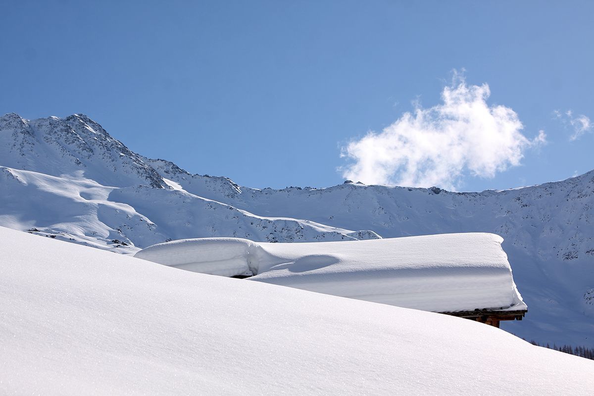
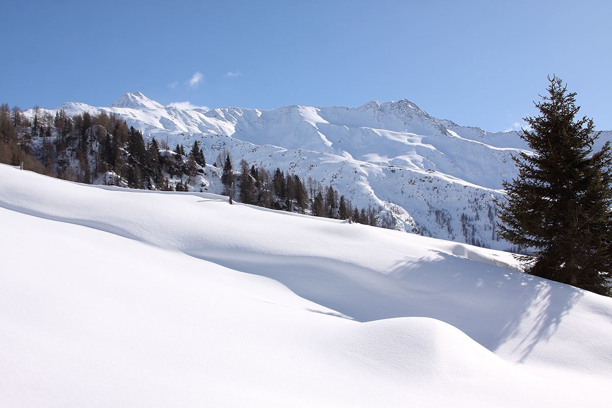
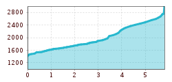
From the car park in Oberlesach via the forest path to the Lesachalm at an altitude of approx. 1,900m. Pass the Tschamperalm, which lies above the path, and cross the steep slope ascending to the right (beware of hard snow!) until you reach a ridge. Now cross the ridge and the following slopes keeping to the right (east) up to the beautiful, large cirque with its small lakes. Finally via the short, steep southern flank to the summit. Be careful of cornices on the summit ridge.

Nearby huts and mountain restaurants

Getting here

  • Arrival by public transport

    Bus line 952, busstop Kals/Lesacherhof

  • Parking

    Car Parking Oberlesach

Newsletter

The mountain is calling? So does our newsletter!

In our monthly newsletter we reveal the best holiday tips for Tyrol.