
Öffnungszeiten:Heute geöffnet
Ort:Vent
:Restaurant, Alpine pasture / hut / mountain restaurant
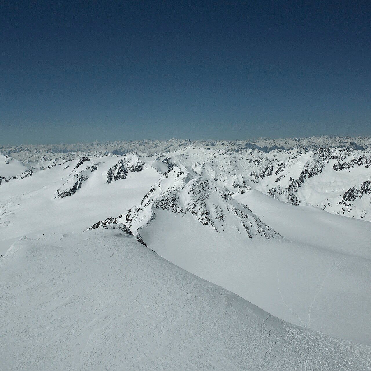
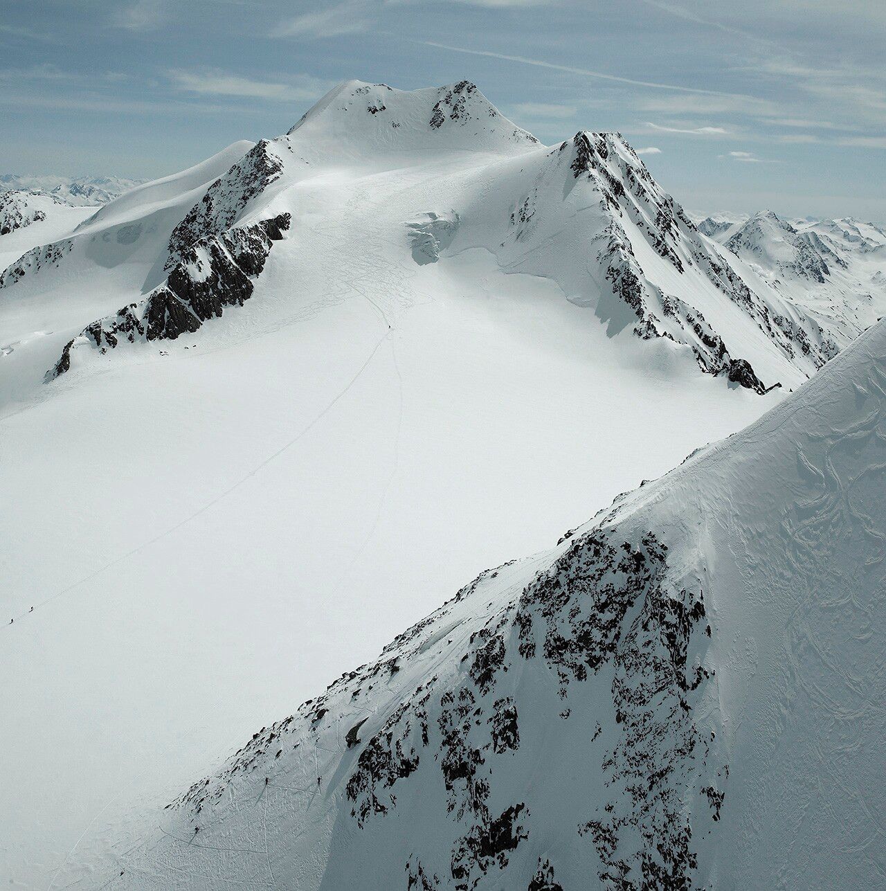
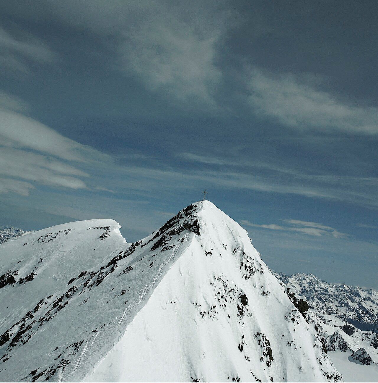
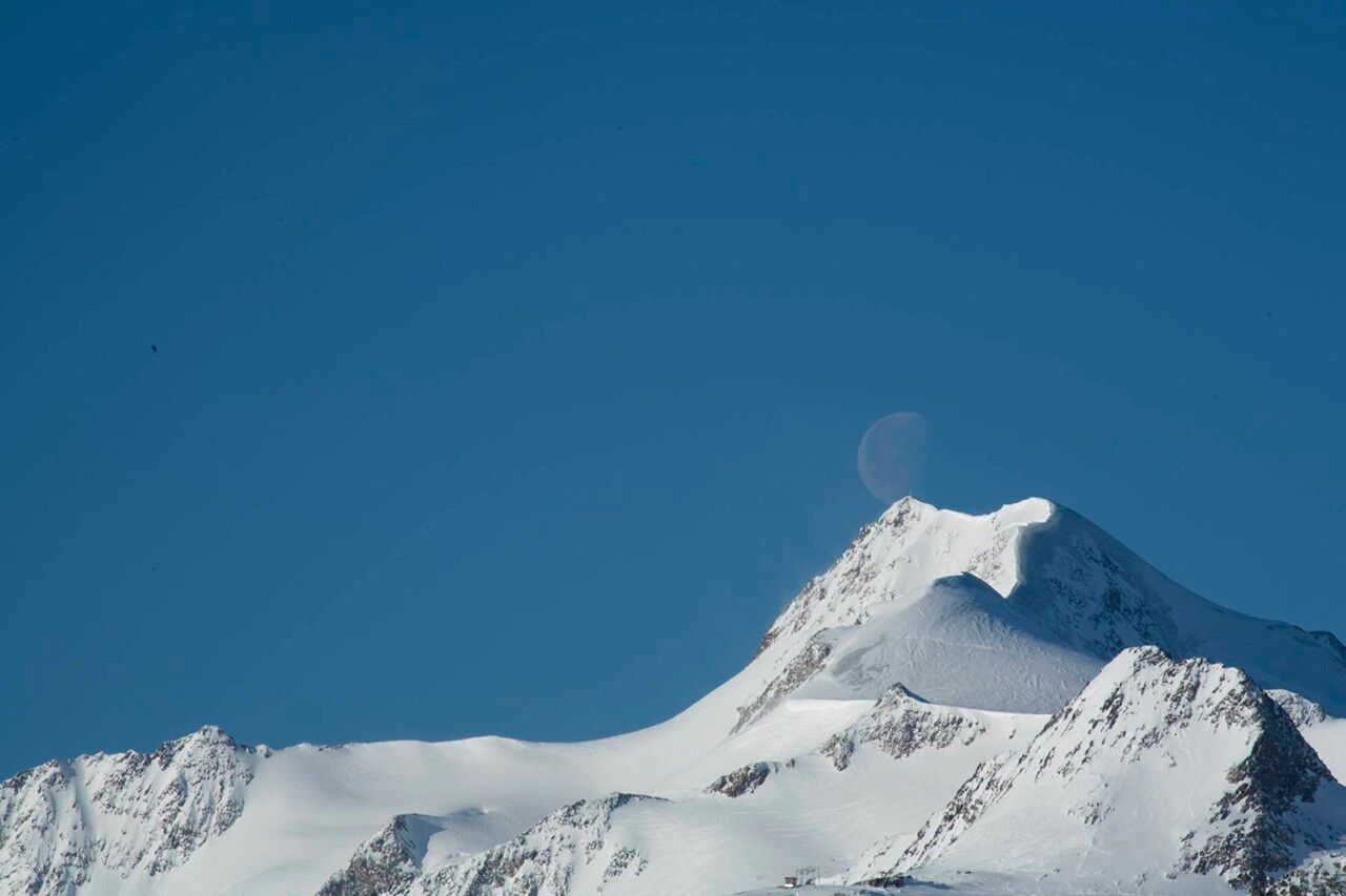
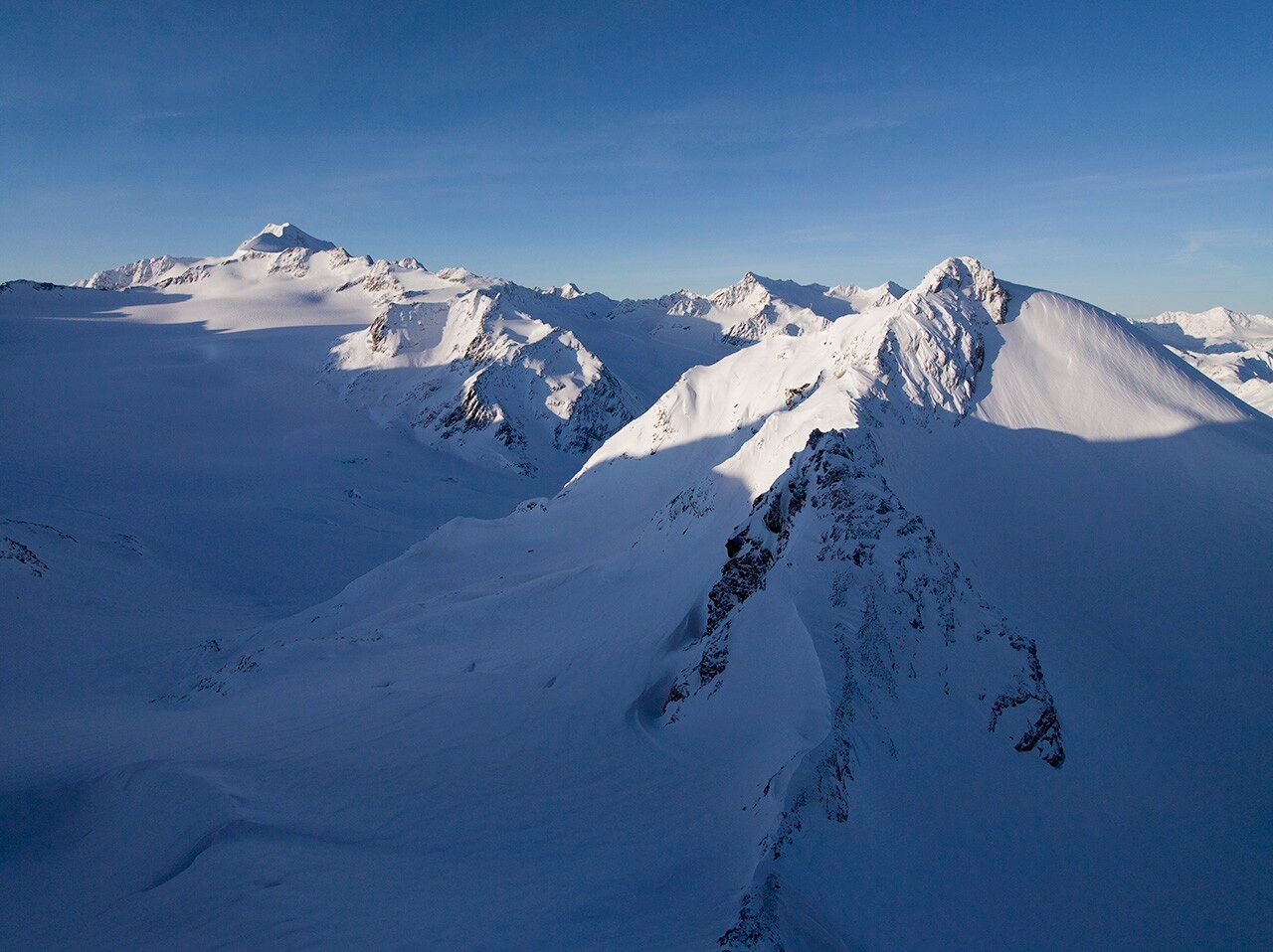
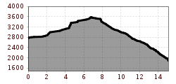
VERNAGTHÜTTE -> Wildspitze -> VENT
Avalanche danger scale
1 (LOW)An avalanche release is only possible with great additional load on very few, extreme steep slopes. Spontaneous avalanches (so-called slides) are not expected. Generally safe conditions.
2 (MODERATE)An avalanche release is likely with great additional load especially on the indicated steep slopes. Larger avalanches are not expected. The snow cover is generally well consolidated, except on some steep slopes. Careful route choice at the indicated steep slopes and slope exposures.
3 (CONSIDERABLE)An avalanche release is likely even with small additional load especially on the indicated steep slopes. Occasionally some medium, occasionally also large avalanches are possible spontaneously. The snow cover is only moderately to weakly consolidated on many steep slopes. Experience in avalanche assessment is necessary. Avoid the indicated steep slopes and slope exposures as much as possible.
4 (HIGH)An avalanche release is already possible with small additional load especially on the indicated steep slopes. Occasionally many medium and several large avalanches occur. The snow cover is only weakly consolidated on many steep slopes. Restrict route choice to moderately steep terrain and observe avalanche runout areas. A lot of experience in avalanche assessment is necessary.
5 (VERY HIGH)Numerous large avalanches, even in moderately steep terrain, are expected spontaneously. At this warning level, safe operation is no longer possible in ski areas. The snow cover is generally weakly consolidated and unstable. Avoidance of tours is recommended.
See also at lawine.tirol.gv.at
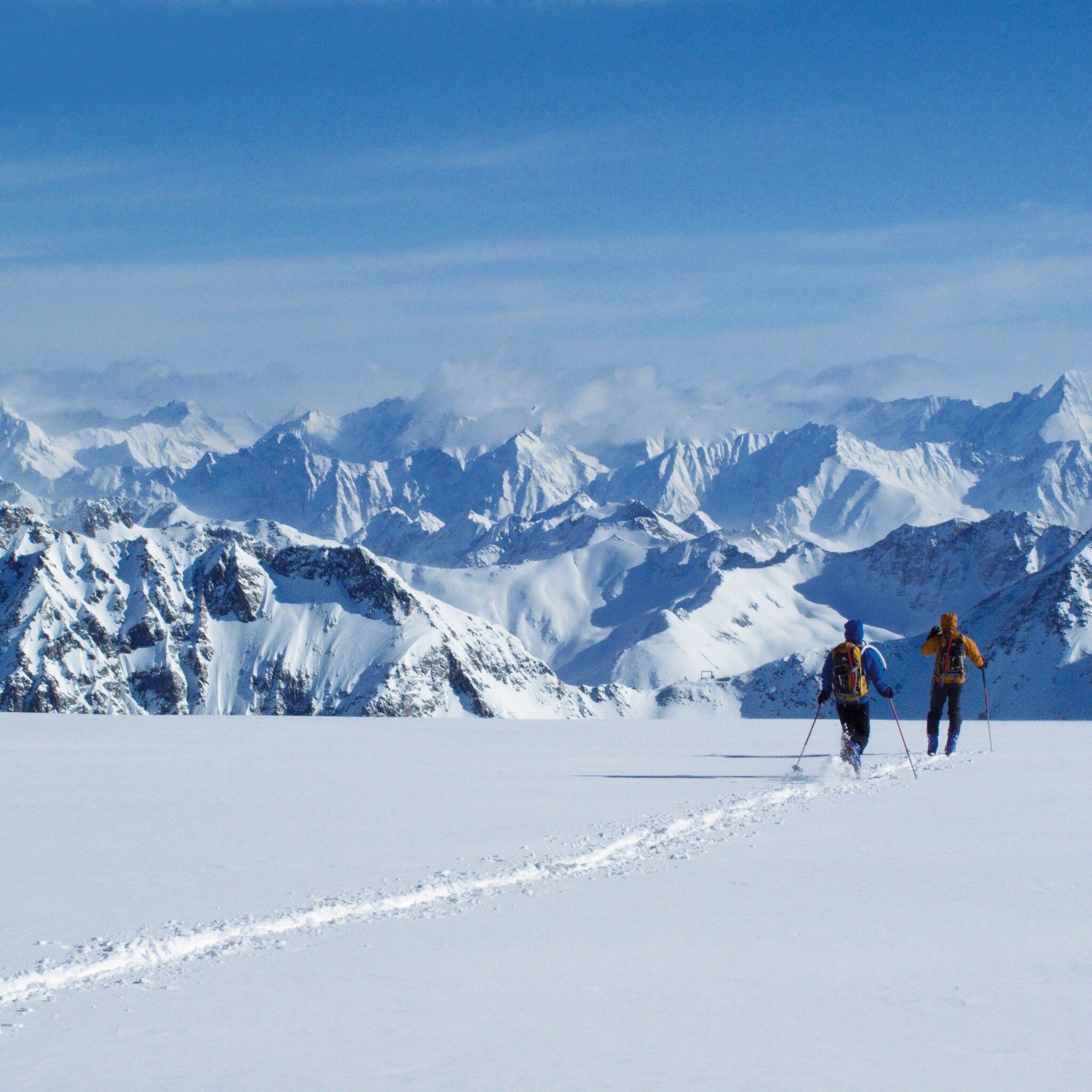
Recommended ski touring equipment
The "normal ski touring equipment" consists of touring skis with touring bindings, telescopic poles, climbing skins, crampons, digital avalanche transceiver, avalanche shovel, probe, first aid kit, and a mobile phone. A "complete glacier equipment" consists of harness, two prusik loops or ascenders of different lengths, two HMS carabiners, ice axe, crampons, and a rope. A backpack with appropriate contents must be carried, including extra clothing, sun protection, cold protection, food, and enough to drink! For overnight stays in huts, do not forget to bring hygiene articles and a hut sleeping bag!
DIFFICULTY RATING
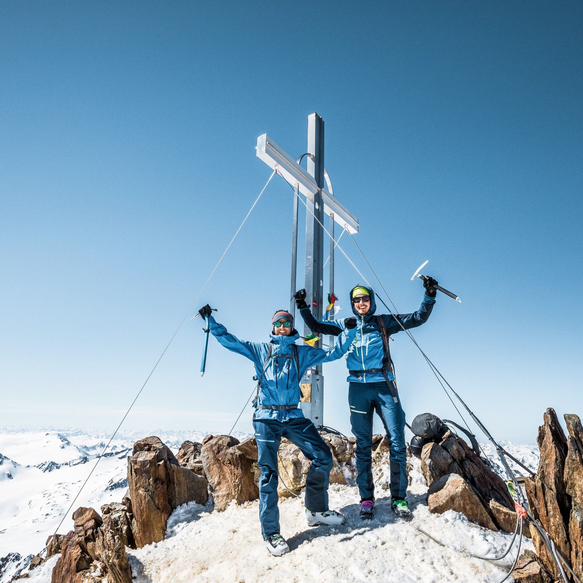
Over the Great and Little Vernagtferner to the Brochkogeljoch (3,423 m, 2.5 – 3 h) –> over the Taschachferner to the Wildspitze (3,768 m, 1.5 – 2 h) –> descent into the Mitterkarjoch (3,470 m) –> steeply down to the remains of the Mitterkarferner –> through the Mitterkar to the Breslauer Hut (2,848 m) –> Stablein ski area –> on the piste to Vent
ELEVATION DIFFERENCES: ascent 1,050 m, descent 1,900 m; time: 5.5 – 7 h
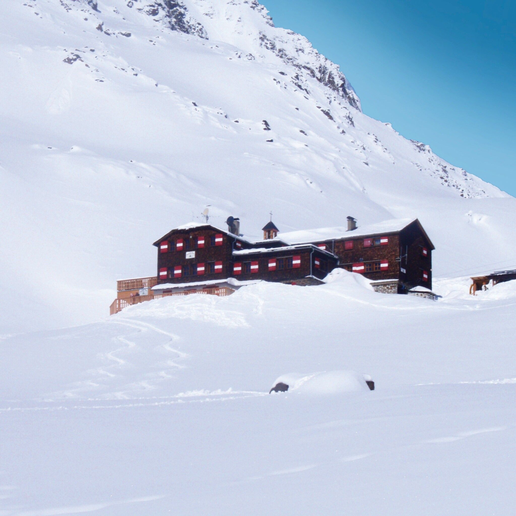
ALTERNATIVE: ascent from the Vernagthütte (closed winter 24/25, no winter room either) to the Hochvernagtspitze (3 h)
SUMMITS: Wildspitze (3,768 m), Fluchtkogel (3,497 m), Schwarzwandspitze (3,466 m), Hochvernagtspitze (3,535 m)
HUT CONNECTIONS: Hochjoch Hospiz (2,413 m), Breslauer Hut (2,848 m), Brandenburger Haus (3,272 m), Taschachhaus (2,432 m)
Vent (1,900 m)
Information and accommodation in Vent – Information Vent
T +43 (0) 57200 220
www.vent.at
vent@oetztal.com
Travel comfortably and safely by train to the Ötztal train station. The final station or exit point is the ÖTZTAL station. Afterwards, you travel conveniently and quickly by public transport or local taxis through the entire valley to your desired destination! The current bus schedule can be found at: http://fahrplan.vvt.at
Paid parking in the mountaineering village of Vent:
At the entrance to the village (summer only)
At the valley station of the Wildspitze double chairlift (DSB Wildspitze)
At the Mountaineers’ Chapel
Further information can be found here:


