Arrival by public transport
Bus routes 210 and 220
Ried Town Hall stop
A long and challenging trail run that offers an unforgettable highlight in the form of the impressive Anton Renk Waterfall.
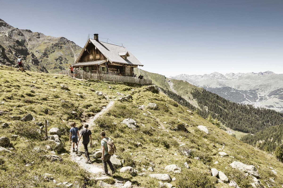
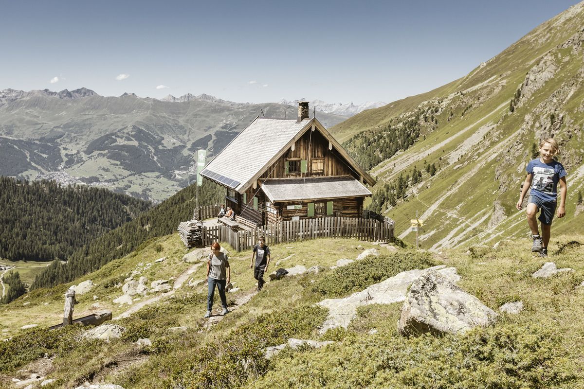
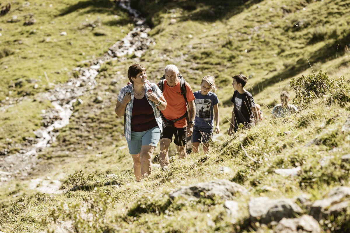
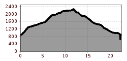
A longer and challenging trail run that offers an unforgettable experience thanks to the Anton Renk Waterfall. The route starts at the information office in Ried and continues to the cable car station. It begins with a steep climb up to Fendels and on to the Fendler Alm, which, after a 1,100-metre climb, is the perfect spot for a quick bite to eat. The route then levels out considerably and, just before the Zirmesköpfle, the path follows the mountainside to the Anton Renk Hut. From here, you have a magnificent view of the waterfall throughout. Once you’ve reached the rustic self-catering hut, it’s all downhill from there. At the Stalanzer Alm, you can refuel once more and enjoy the waterfall before heading back to Ried via a mix of trails and forest tracks.
Bus routes 210 and 220
Ried Town Hall stop
Ried Lake, free of charge
