Arrival by public transport
Bus route 210
Pfunds Stuben stop
A varied trail run with spectacular views and alpine flow – the Pfundser Tschey is at its most beautiful.
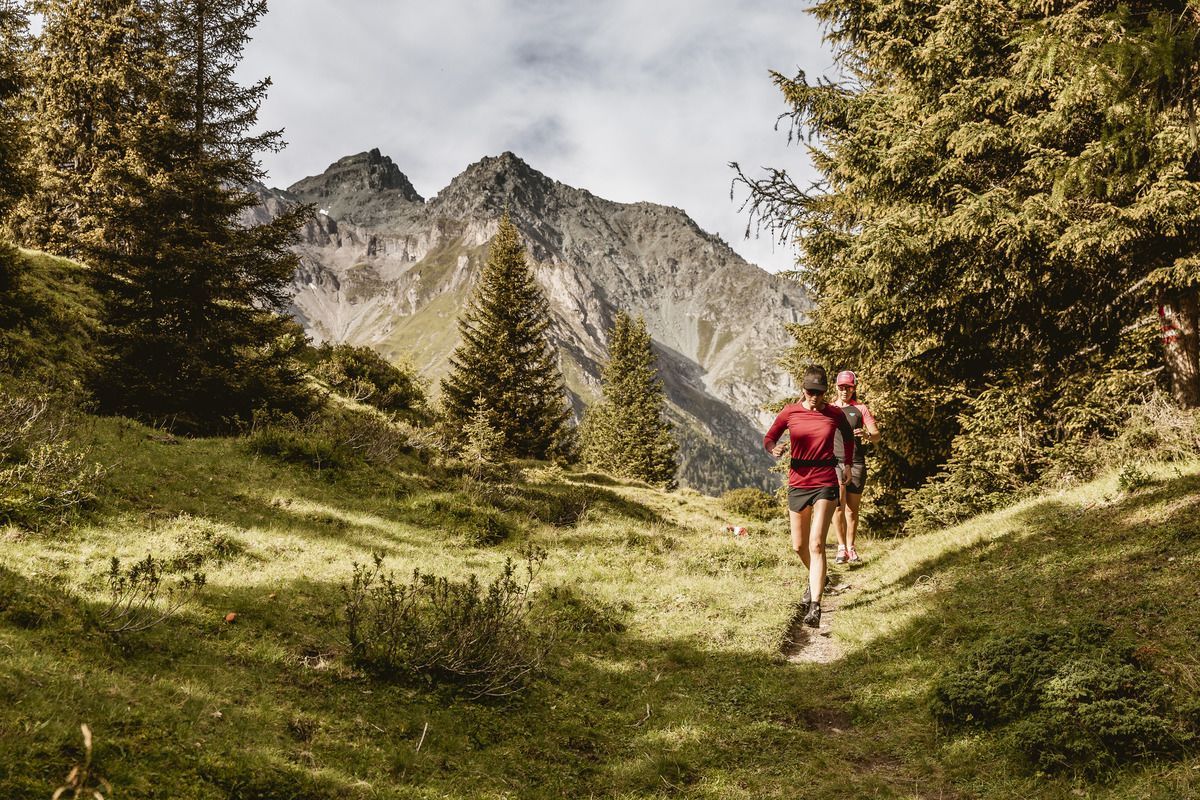
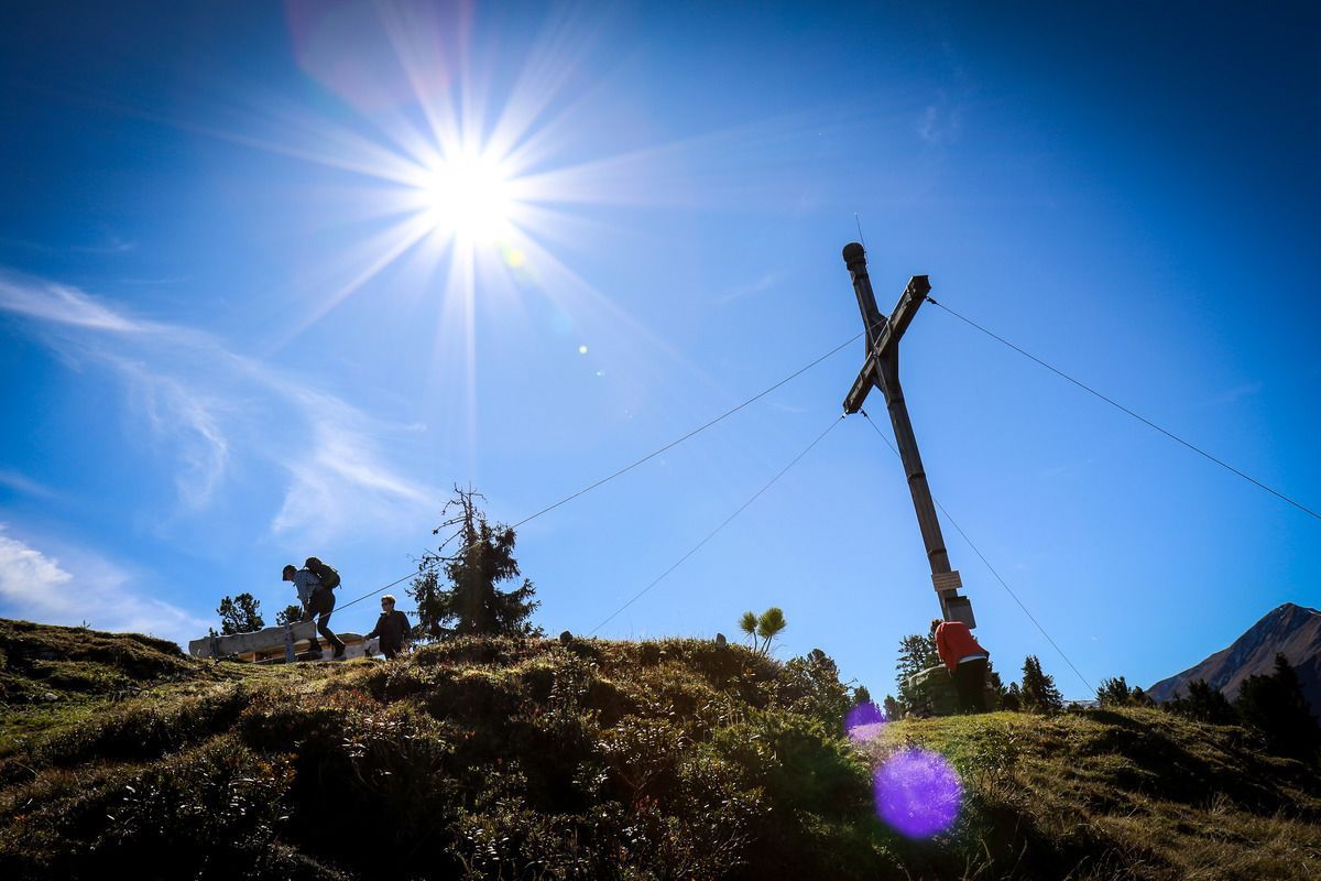
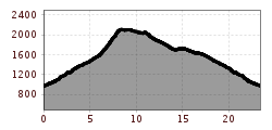
This varied route takes you through the stunning landscape of the Pfundser Tschey. From the starting point, the route first follows the Klammsteig path through the Radurschlklamm gorge, before heading steadily uphill via Greit towards the Tscheylücke pass. There, a slightly steeper but easily navigable trail branches off, leading to the summit of the Frudiger. Once at the top, a magnificent view over the Upper Inn Valley opens up.
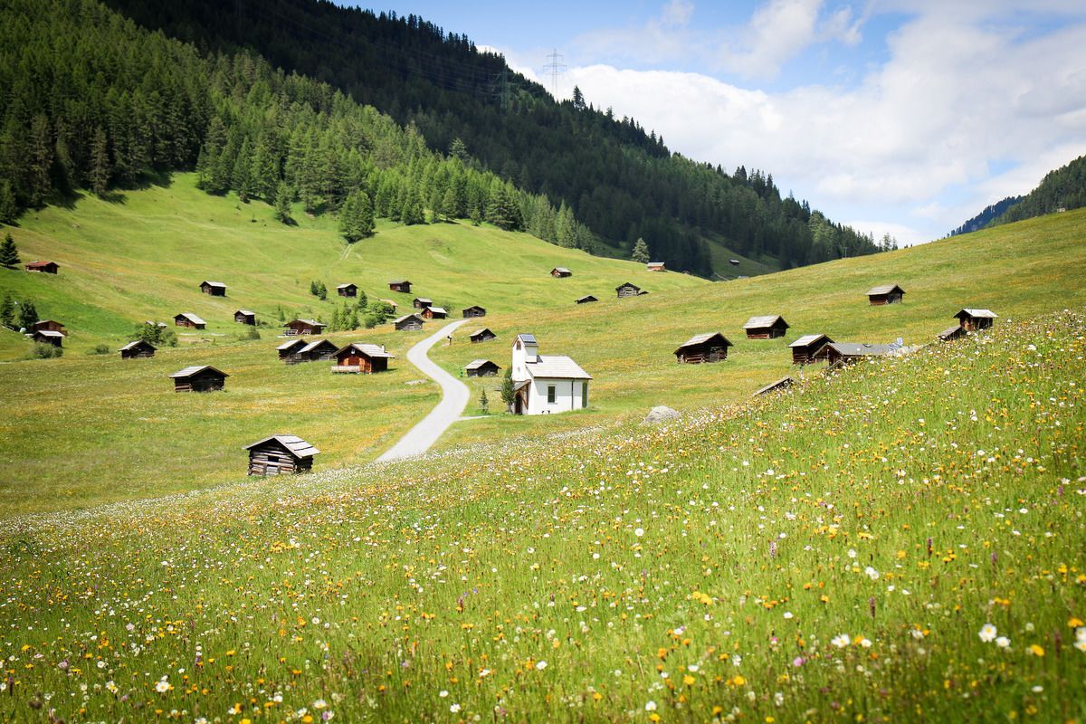
The route continues over the Tösener Frudiger and finally leads into a smooth downhill section. Through sparse mountain woodland and across the expansive plateau of the Pfundser Tschey, the path leads past numerous historic mountain huts back to the starting point.
Bus route 210
Pfunds Stuben stop
Pfunds village roundabout, free of charge
