Arrival by public transport
Bus routes 210, 220
Ried Town Hall bus stop
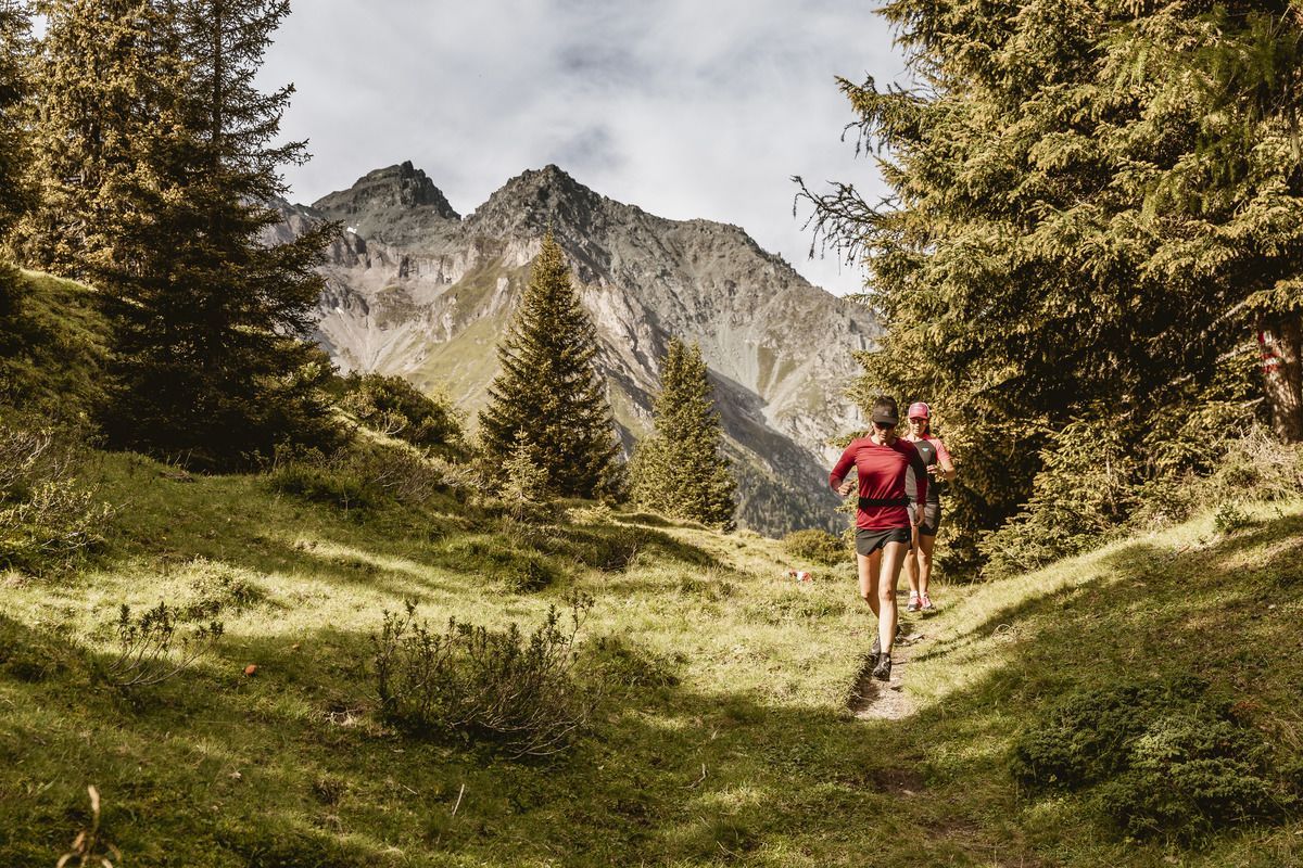
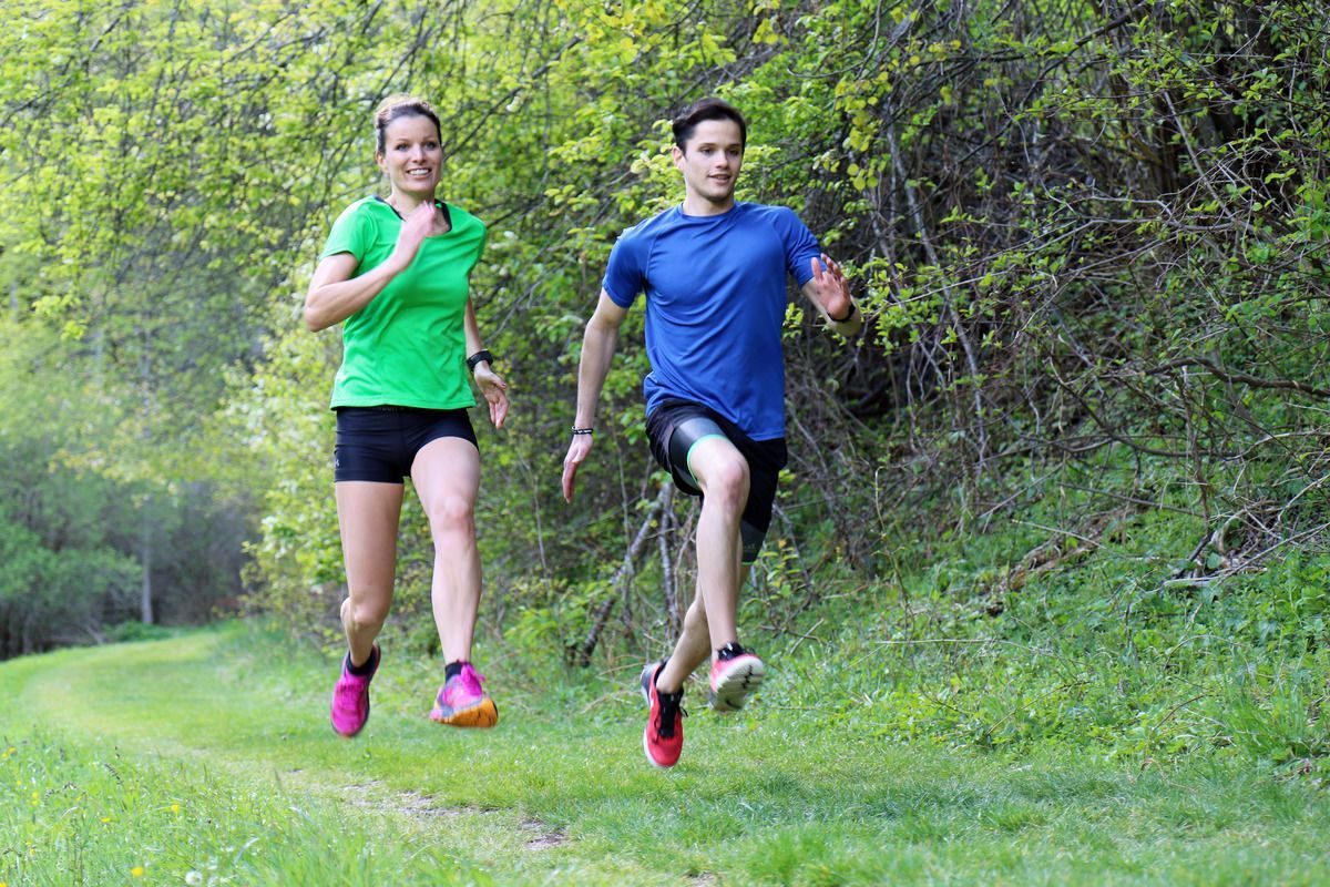
A very varied and longer trail run which, due to the low altitude, can also be done in autumn or spring.
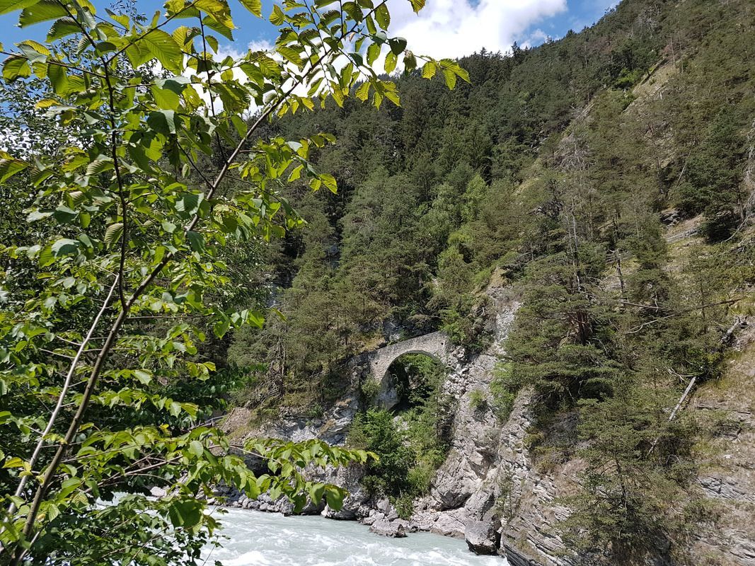
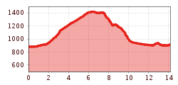
The route starts at the information office in Ried. It continues towards the swimming lake and leads under the underpass onto a footpath alongside the River Inn towards Gstals or Serfauser Straße. After crossing the bridge towards Serfaus-Fiss-Ladis, the trail branches off to the left towards the Lourdes Chapel and on to Tösens. Following the Via Claudia Augusta, the route winds its way up through Frauns to the Serfaus fields and on to the village of Serfaus. From Untergasse, a forest path leads down to the little church of St. Georgen, which offers a beautiful view. After a short stretch along the road, the route continues on a path to Untertösens and back to the starting point via the Via Claudia Augusta.
Bus routes 210, 220
Ried Town Hall bus stop
Ried Lake, free of charge
