Arrival by public transport
You can find information about the current bus schedules here
Hoch-Imst - Ursprungweg - Muttekopfhütte - Plattigsteig - Opferstock - Hoch-Imst
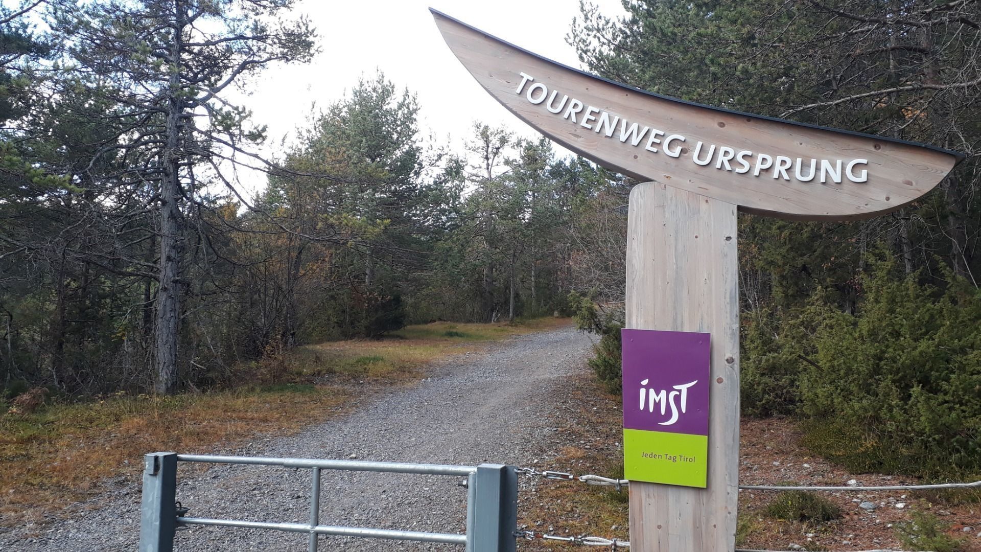
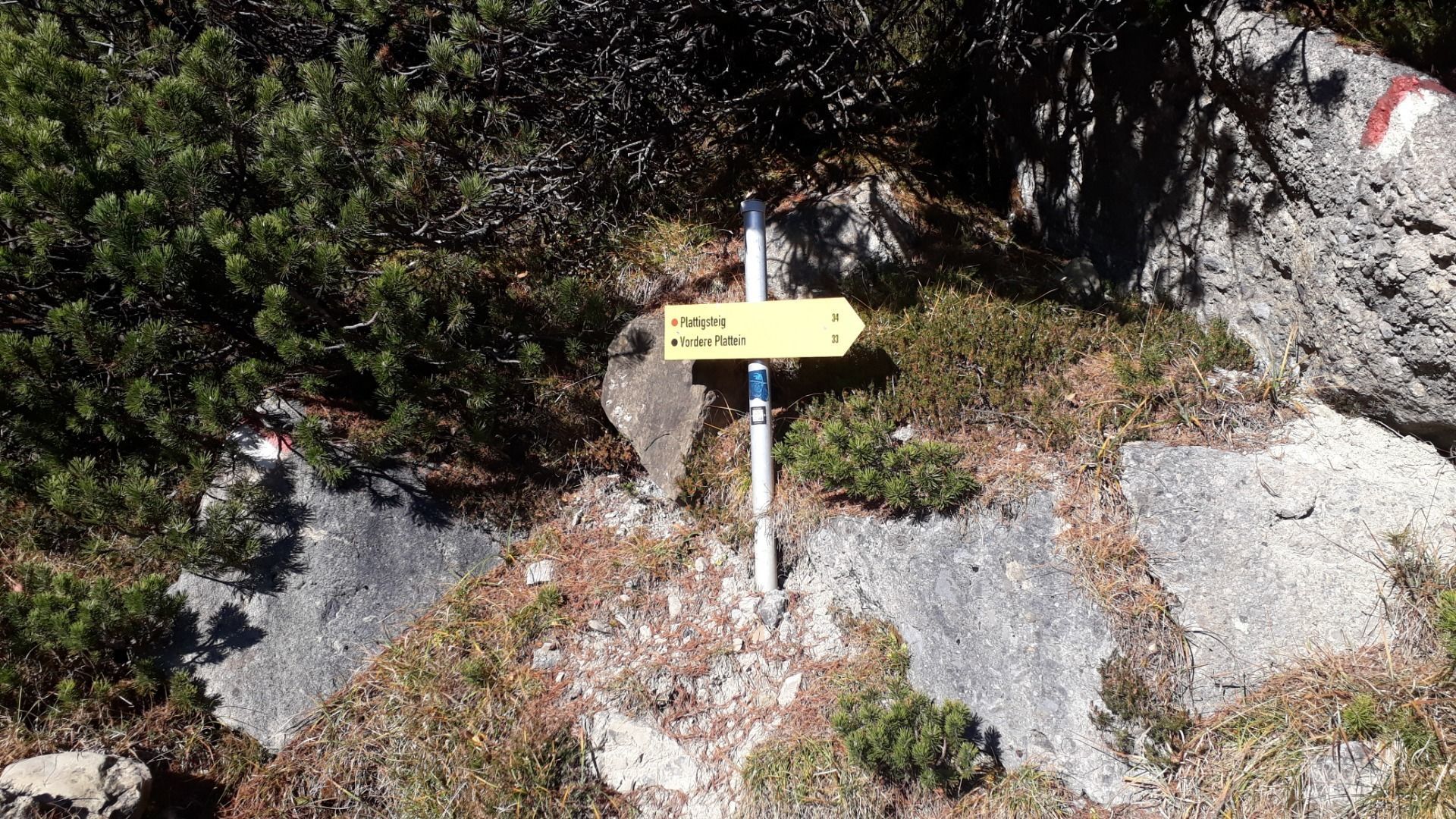
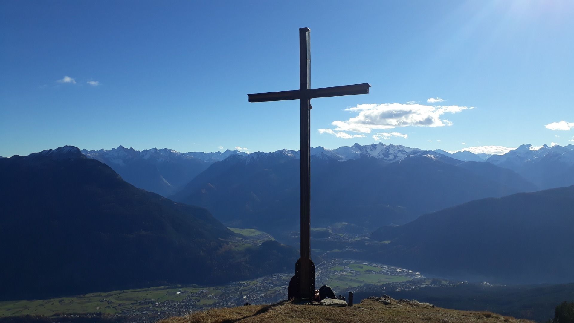
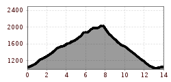
Starting point is the parking lot Hoch Imst. Towards the upper parking lot following the mushroom path steeply uphill. Across the Alptal to above Untermarkter Alm, on the Malchbachweg to Latschenhütte and the trail to the Muttekopfhütte until just before the Muttekopfhütte on the right side the Plattigsteig branches off. From here to the highest point of the route (Narrenkreuz/ Platteinwiese 2035 m). A breathtaking view of Imst rewards for the efforts before it goes over the trail to the Latschenhütte. The descent passes the Latschenhütte. Then over the Opferstock and the Sprisselstein until the trail meets the forest road. From here on the right side via the Hachleschlucht gorge back to Hoch Imst.
You can find information about the current bus schedules here
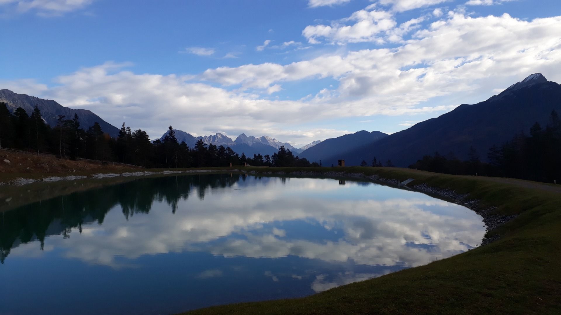
You can use the free parking-area at Hoch-Imst


.JPG")


 Andi Frank_TVB PillerseeTal (133).jpg")
")

.png")

