Arrival by public transport
VVT line 770
to the local mountain of Oberau and Niederau
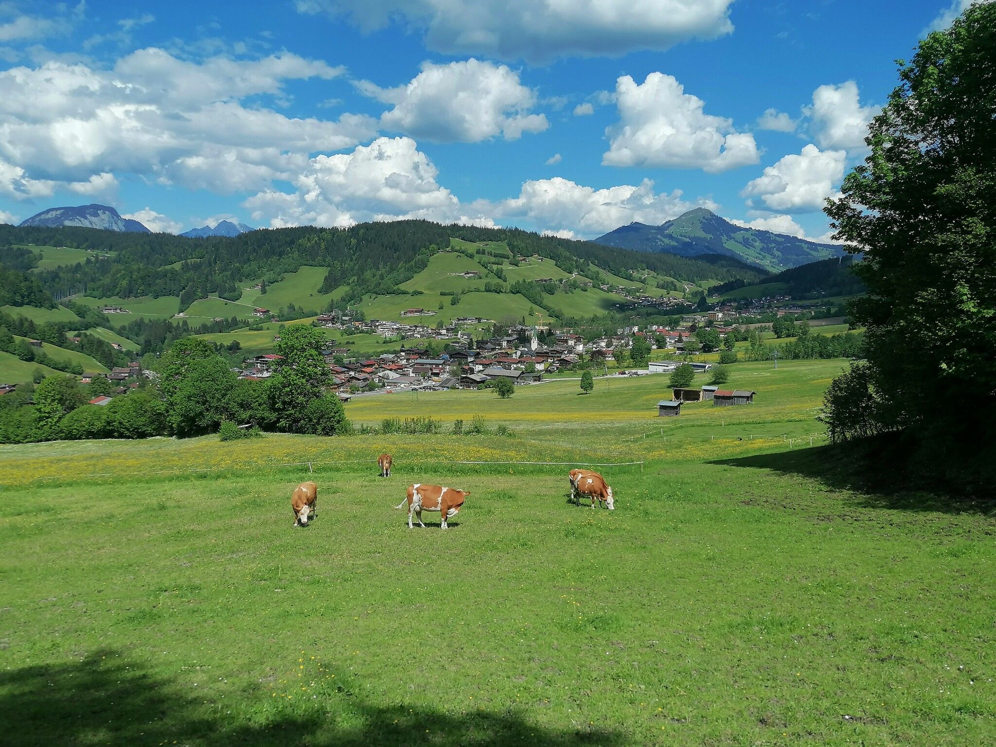
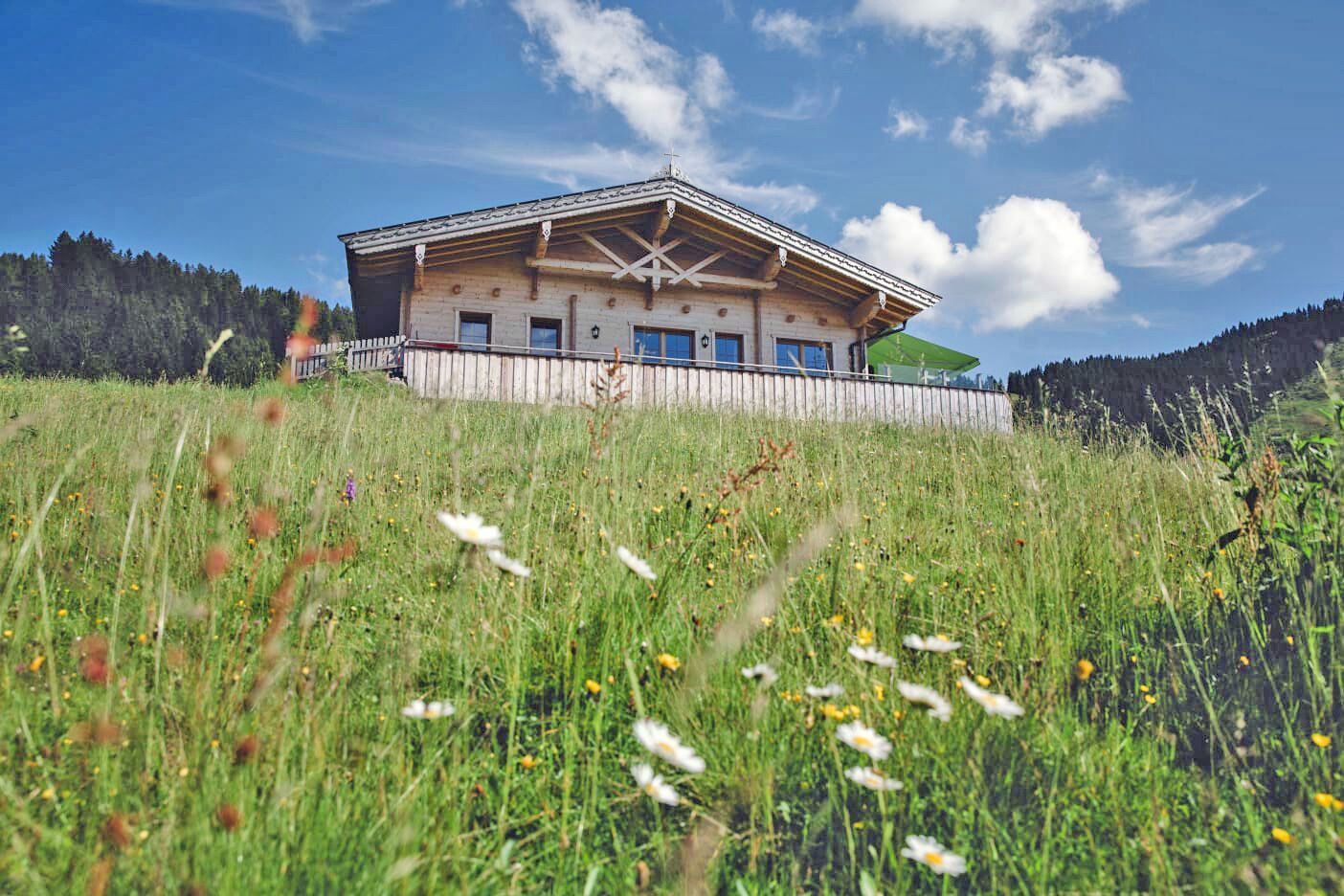
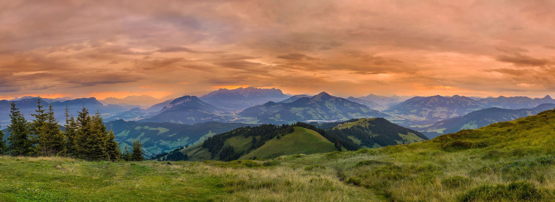
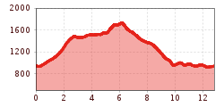
This tour leads from the center of Oberau to the Roßkopf, the local mountain of Oberau and Niederau. The hike begins in Oberau, from where we follow the path towards the Roßkopfhütte (Roßkopf Hut). We then stay on the trail, which passes the Prentner Alm (Prentner Alpine Pasture).
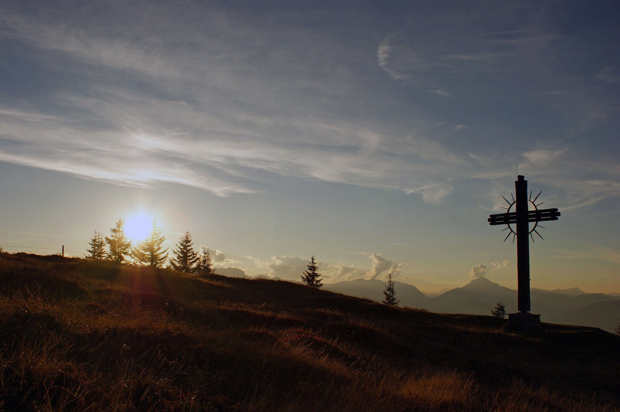
After this section, the ascent becomes steeper and, in places, more technically challenging, before the path leads up to the summit of the Roßkopf at 1,731 meters. A summit cross marks the top. Despite its relatively low altitude, the Roßkopf offers a panoramic view of the Inn Valley, the Kaiser Mountains, and as far as the Hohe Tauern range.
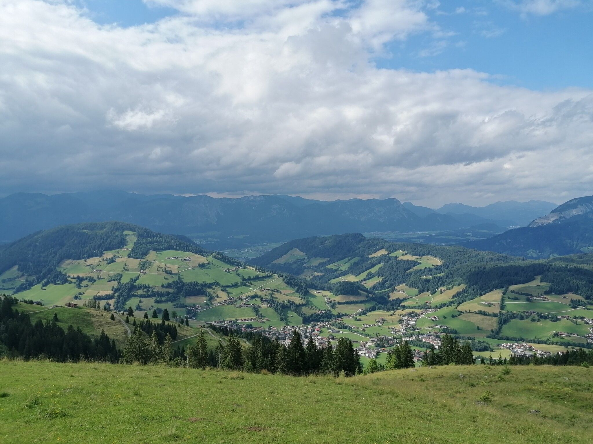
The descent is mostly on trails, supplemented by a few scree sections. The standard return route leads via the Nordbergalm (Nordberg Alpine Pasture) and then along a well-maintained path back to Oberau.
VVT line 770
Drachenpark Oberau


