
Opening hours:Open today
Place:Kirchberg in Tirol
:Restaurant
Panoramic run with summit victory!
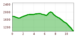
We cover most of the elevation gain in a relaxed manner with the Fleckalmbahn cable car. Once we reach the top of the Ehrenbachhöhe, we first enjoy the wonderful panoramic view before starting our run. From now on, we run in the direction of Großer Rettenstein – Spertental. At first, this seems far away, but we approach the proud rock mountain in big strides.
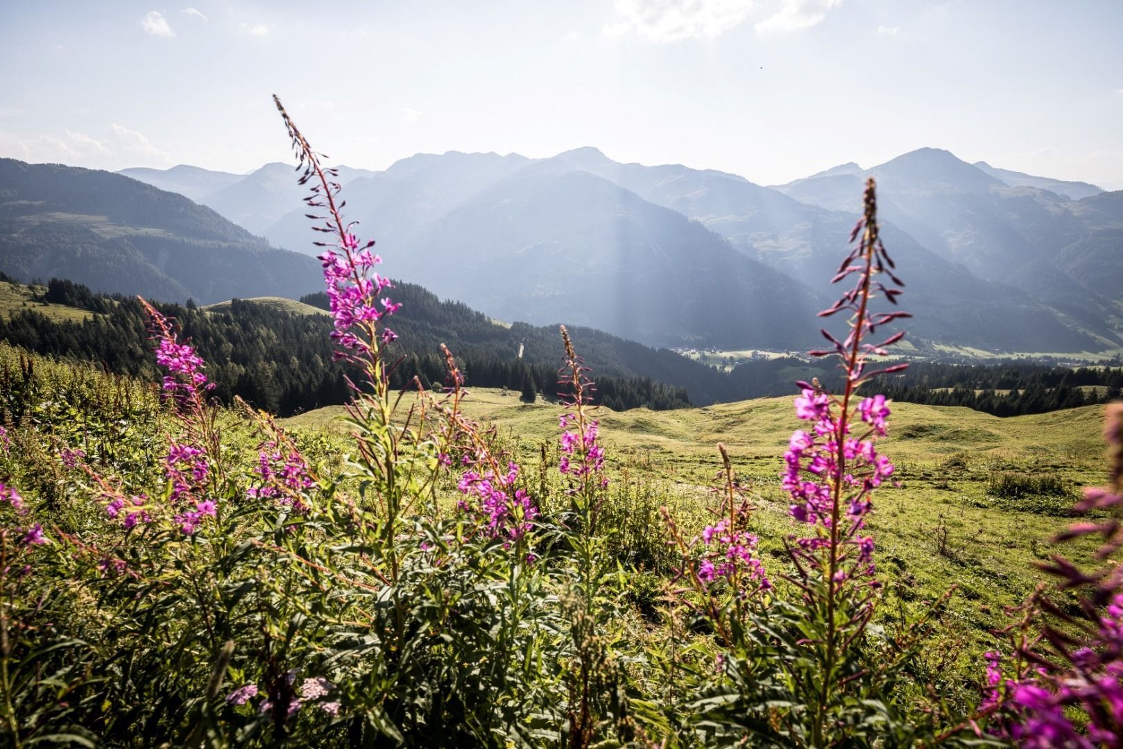
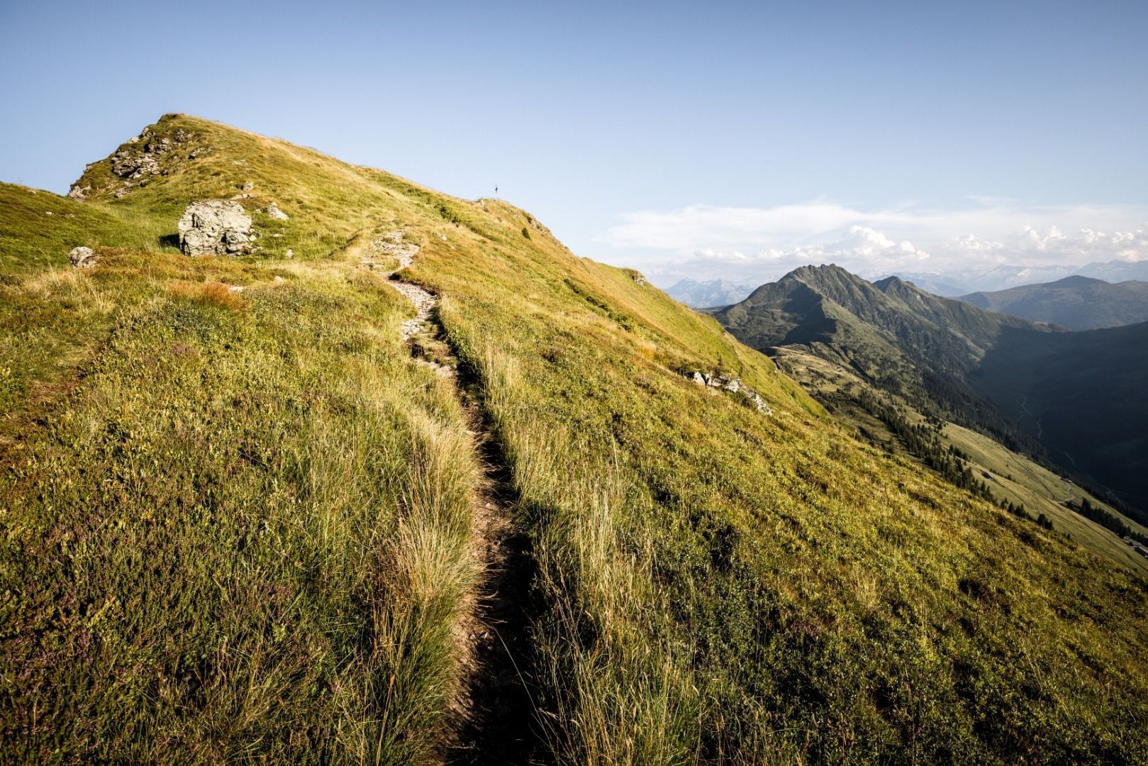
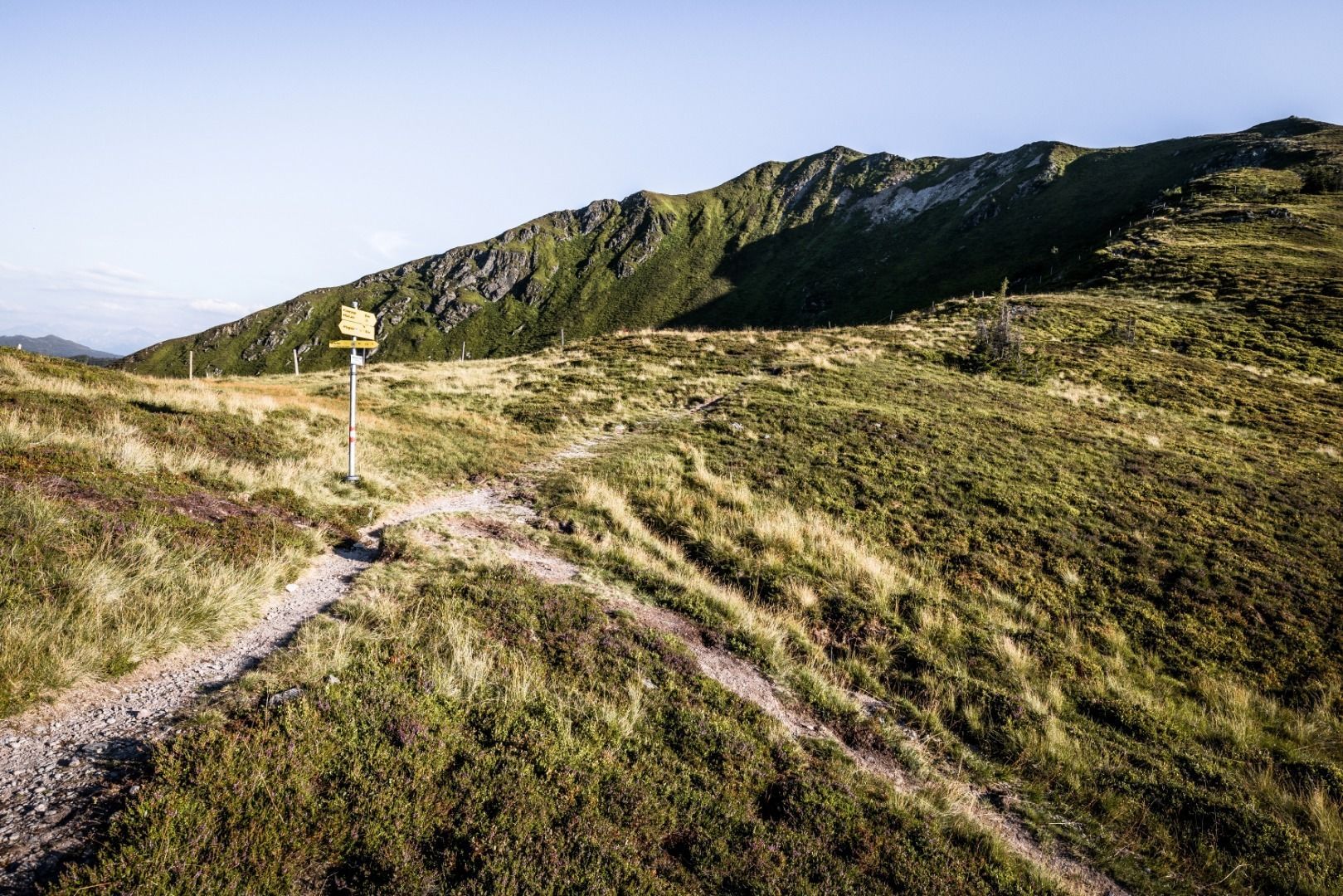
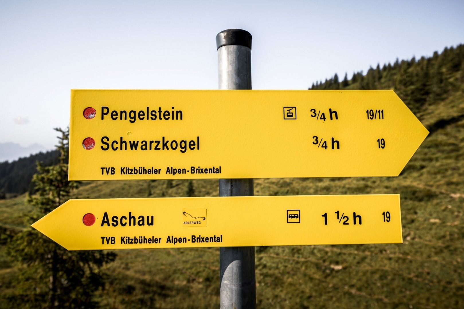
We run slightly downhill on the gravel road to Hochbrunn. Then we either take the gravel switchbacks or – for those who like it steep – the vertical hiking trail up to the Jufenkamm. A magnificent panorama accompanies us on the way to Pengelstein, whose summit we naturally take in on the left-hand side.
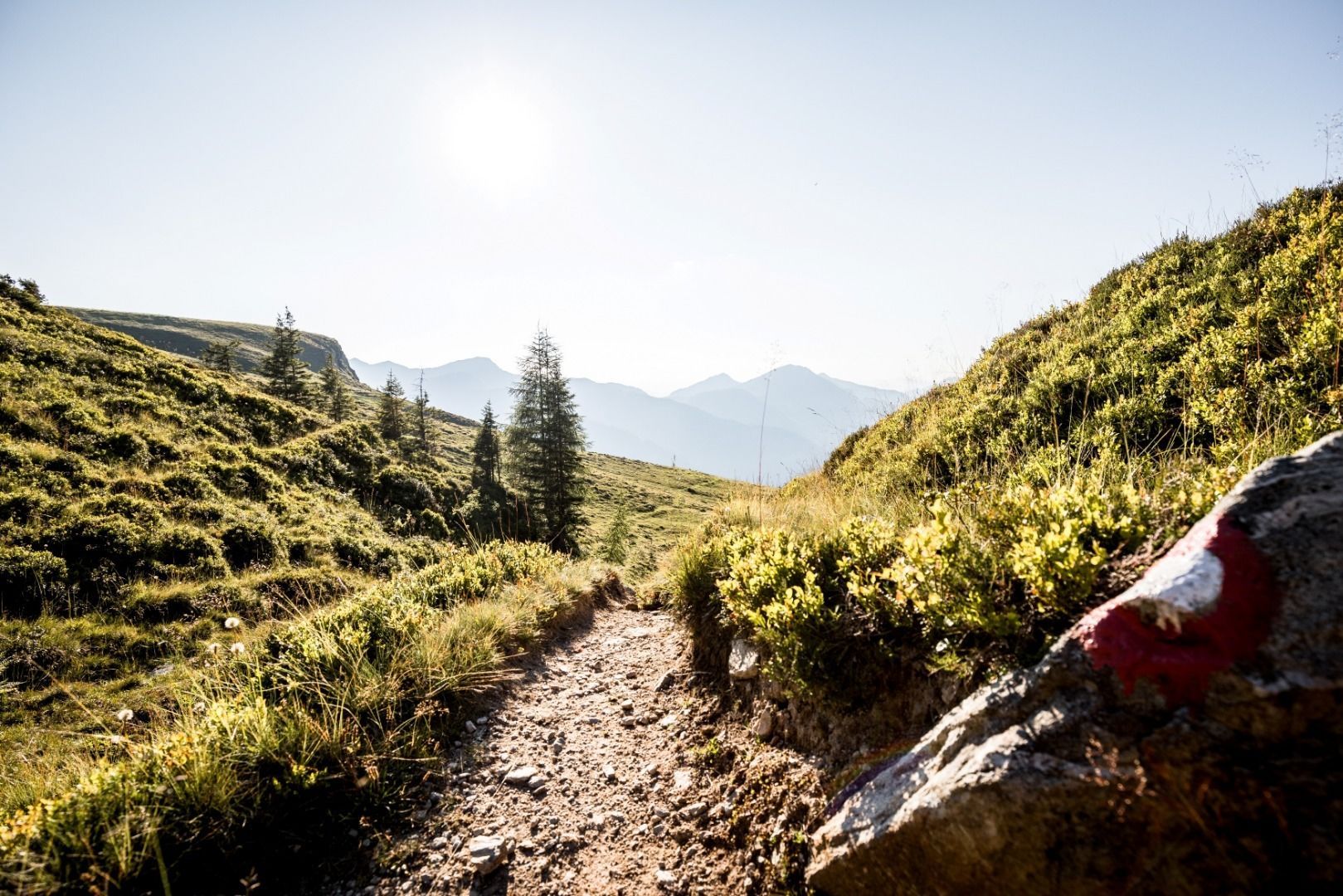
Passing the spectacular 3S cable car, a really cool trail now leads us – first downhill, then across an untouched high plateau – to the foot of the Schwarzkogel. The mountain trail takes us almost vertically to the summit – wonderful how our thighs are burning!
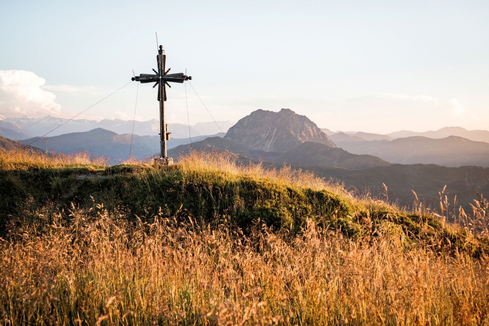
An unforgettable mountain panorama! We could probably stay here for a long time, but the 1,225 metres of altitude difference down to the valley are waiting for us. The mountain trail leads us almost vertically down to Aschau.
bus stop Fleckalmbahn Klausen
railway station Kirchberg in Tirol
Mobility in Brixental: https://www.kitzbueheler-alpen.com/de/bri/mobil.html
Fleckalmbahn


