
Opening hours:Open today
Place:Umhausen
:Alpine pasture / hut / mountain restaurant
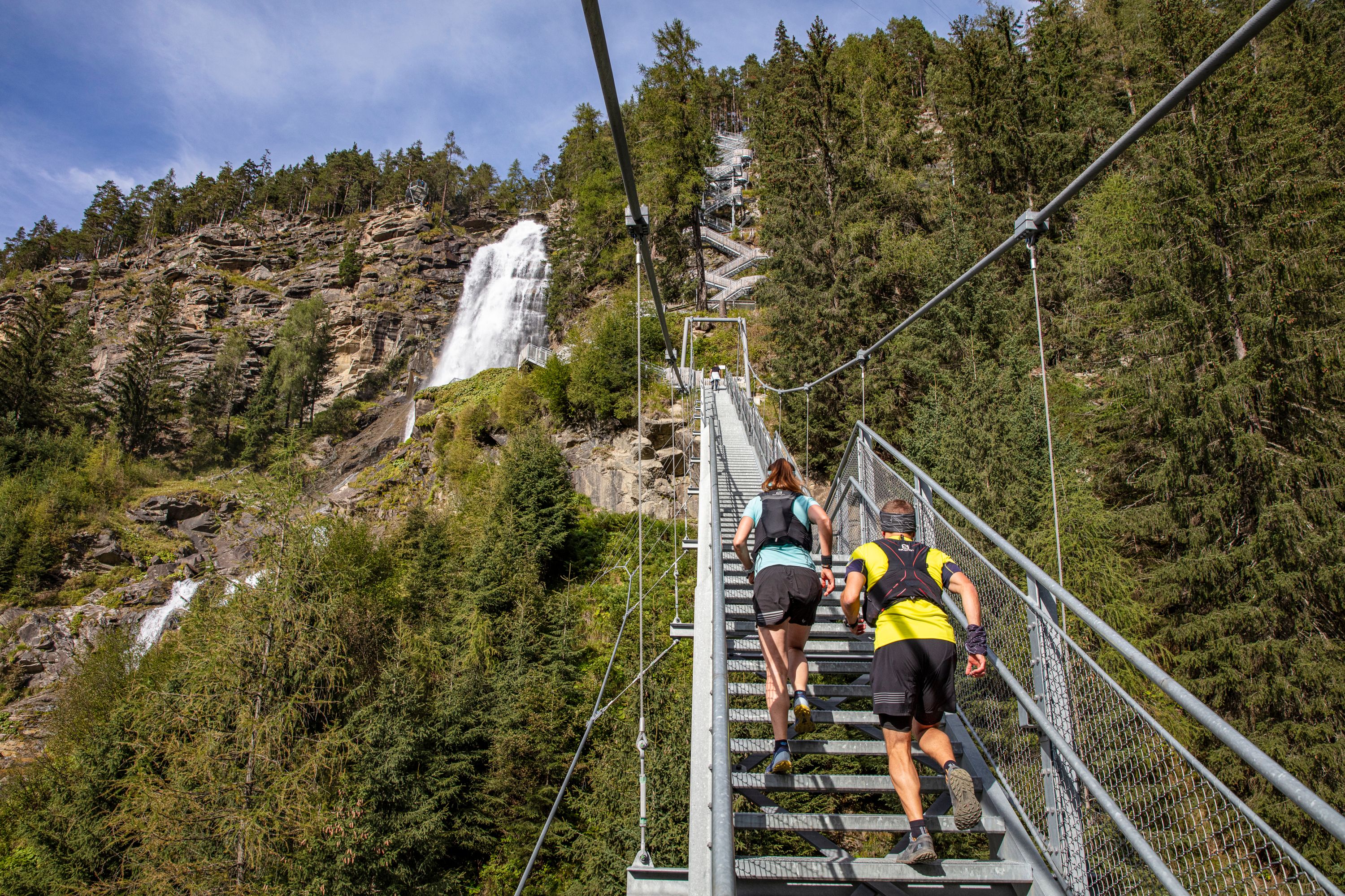
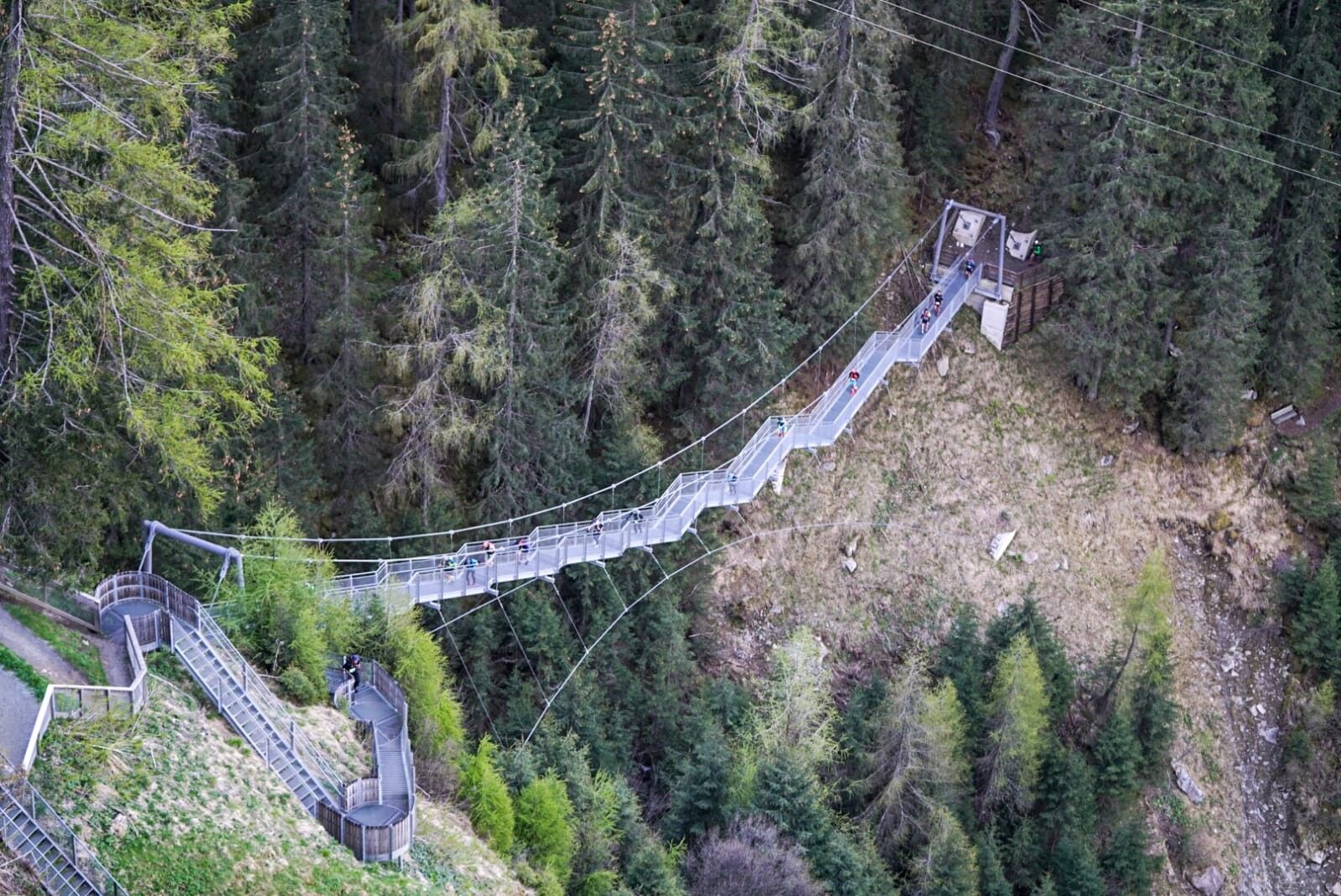
Spectacular waterfalls, varied terrain, short, crisp climbs alternating with pleasantly flat passages... If you want to start trail running, you shouldn't spend too long on boring gravel stretches, but run the Stuiben Trail in Ötztal right away.
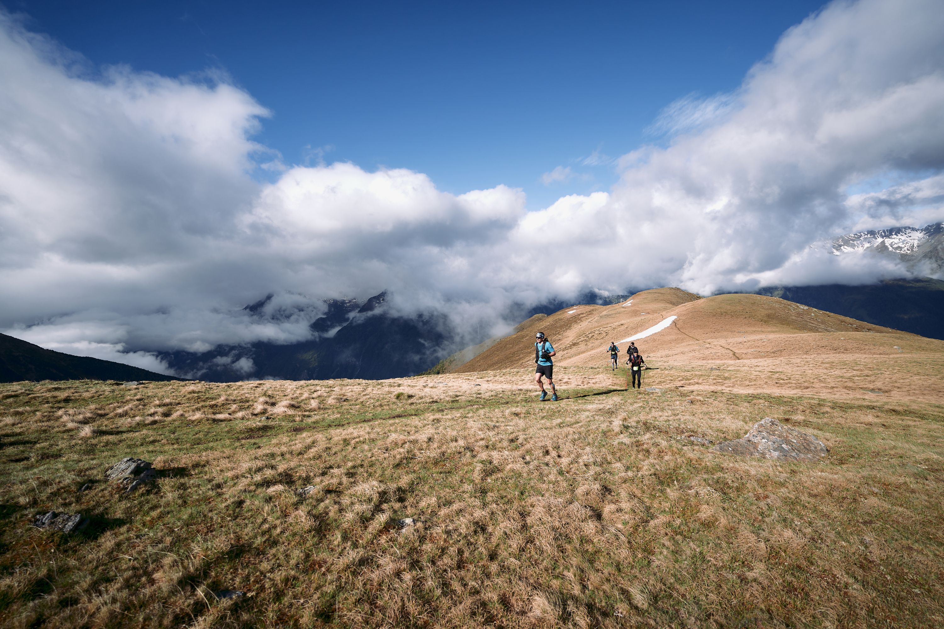
Starting from Umhausen in Ötztal, this trail is truly packed with variety: asphalt, gravel, mountain and meadow paths, the imposing Stuiben Falls and idyllic Niederthai, the steep ascent over the Rauhen Bichl, a panoramic high-altitude trail and the cooling spray of the Stuiben Falls at the end. The Stuiben Trail is ideal for trail running beginners because it certainly whets the appetite for more. And if you regenerate your feet at the end in the Umhausen Kneipp facility, you'll be fit for new running adventures the next day.


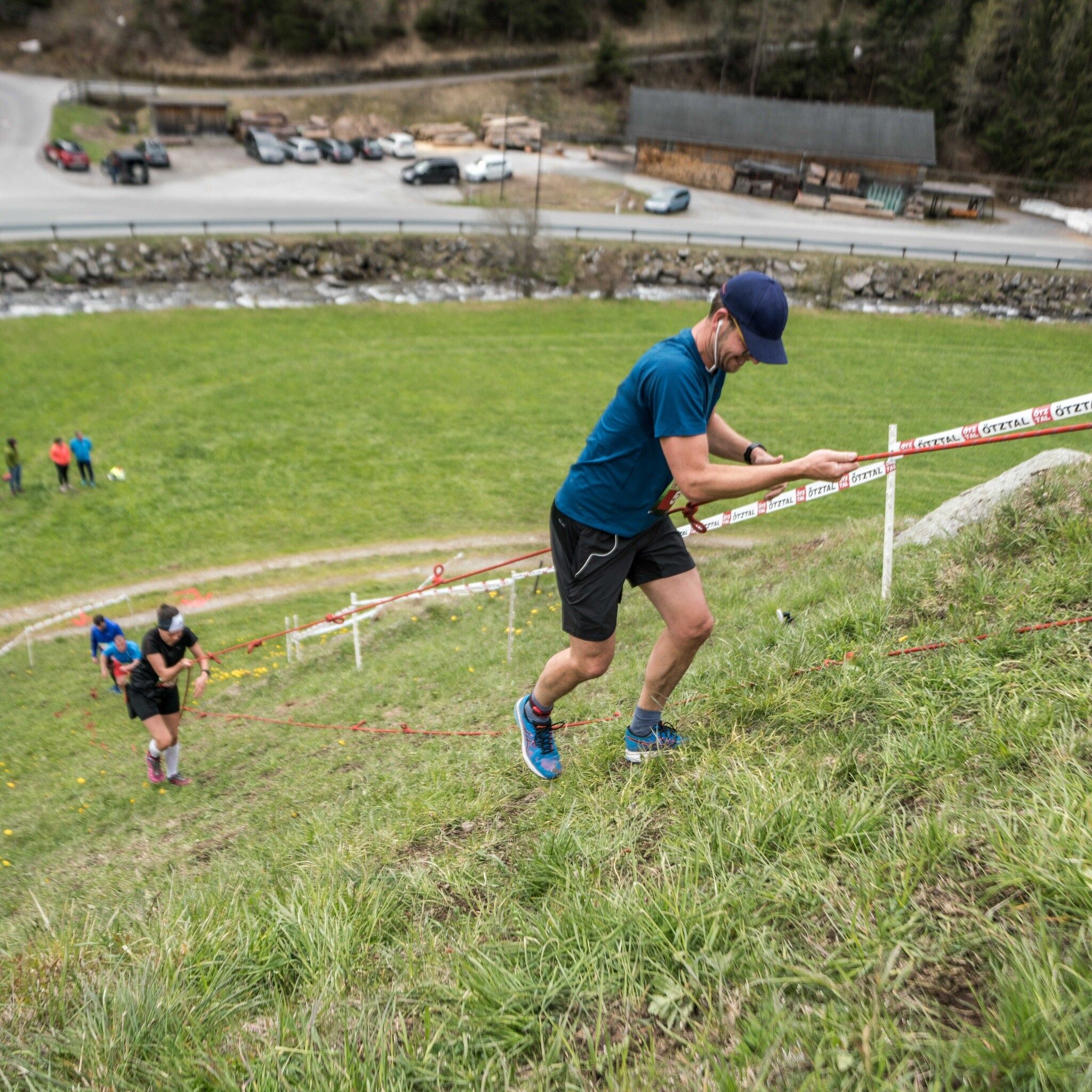
The downhill from Niederthai to Umhausen requires concentration and coordination skills again, so you should not start the trail route too fast.
Alpine emergency number: 140
Travel safely!
Download the mountain rescue emergency app in advance. If you need help, you can transmit your exact coordinates via the app.
EMERGENCY APP for download:
Android: https://play.google.com/store/apps/details?id=at.tirol_notfall&hl=de
iPhone: https://apps.apple.com/at/app/sos-eu-alp/id400099520
The following equipment is recommended:
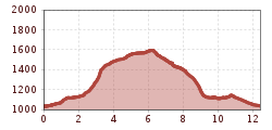
The start takes place in the center of Umhausen at an altitude of 1,036m. After one kilometer on asphalt and along the Wasserwaalweg, runners reach the foot of the Stuibenfall waterfall, where 728 spectacular natural and steel steps as well as a dreamlike backdrop await. Arriving in Niederthai, there's some time to recover before it gets serious for the first time. Over the Rauhen Bichl it goes towards Höfle and Bichl. The following downhill leads via the Höhenweg to the trail to Sattele. The last section of the route runs along the Steppsteig towards Stuibenfall to the Stuiben Nannele, where the witch gives full wind for the last 1500m into the village center.
Accessible by train and bus
Travel comfortably and safely by train. The final stop or exit point is ÖTZTAL station. Then travel comfortably and quickly by public transport or local taxi companies to the municipality of Umhausen. From the "GH Andreas Hofer" bus stop, you can reach the starting point at Murplatz after about 150m. The current bus schedule is available at: fahrplan.vvt.at
Parking is available directly at Murplatz Umhausen


.png")


 Andi Frank_TVB PillerseeTal (133).jpg")
")


