Trail running Tour de Tirol | Kaiser Marathon Ultra

Söll / Kitzbüheler Alpen
Route length: 77.0 km

The Kaiser Marathon Ultra - 77 km and 3.210 metres of elevation gain. A welcome challenge for our top athletes!

Tour information

  • Length: 77.0 km
  • Elevation uphill:3,210 hm
  • Elevation downhill:3,210 hm
Highest point1,826 m

Starting point

Söll village centre

Finishing point

Hohe Salve mountain
  • Fitness level 6 / 6
  • Technique 6 / 6

Best time of year

  • January
  • February
  • March
  • April
  • May
  • June
  • July
  • August
  • September
  • October
  • November
  • December

Equipment

The rucksack must contain the following mandatory equipment: emergency rescue blanket, whistle, gloves, hat & rain jacket, mobile phone. Mobile phone instructions: the battery must be fully charged, and the race doctor's number +43 664 5166409 must be saved. Your own phone number must not be suppressed, so that you can be called back.
Source: TVB Wilder Kaiser

Description

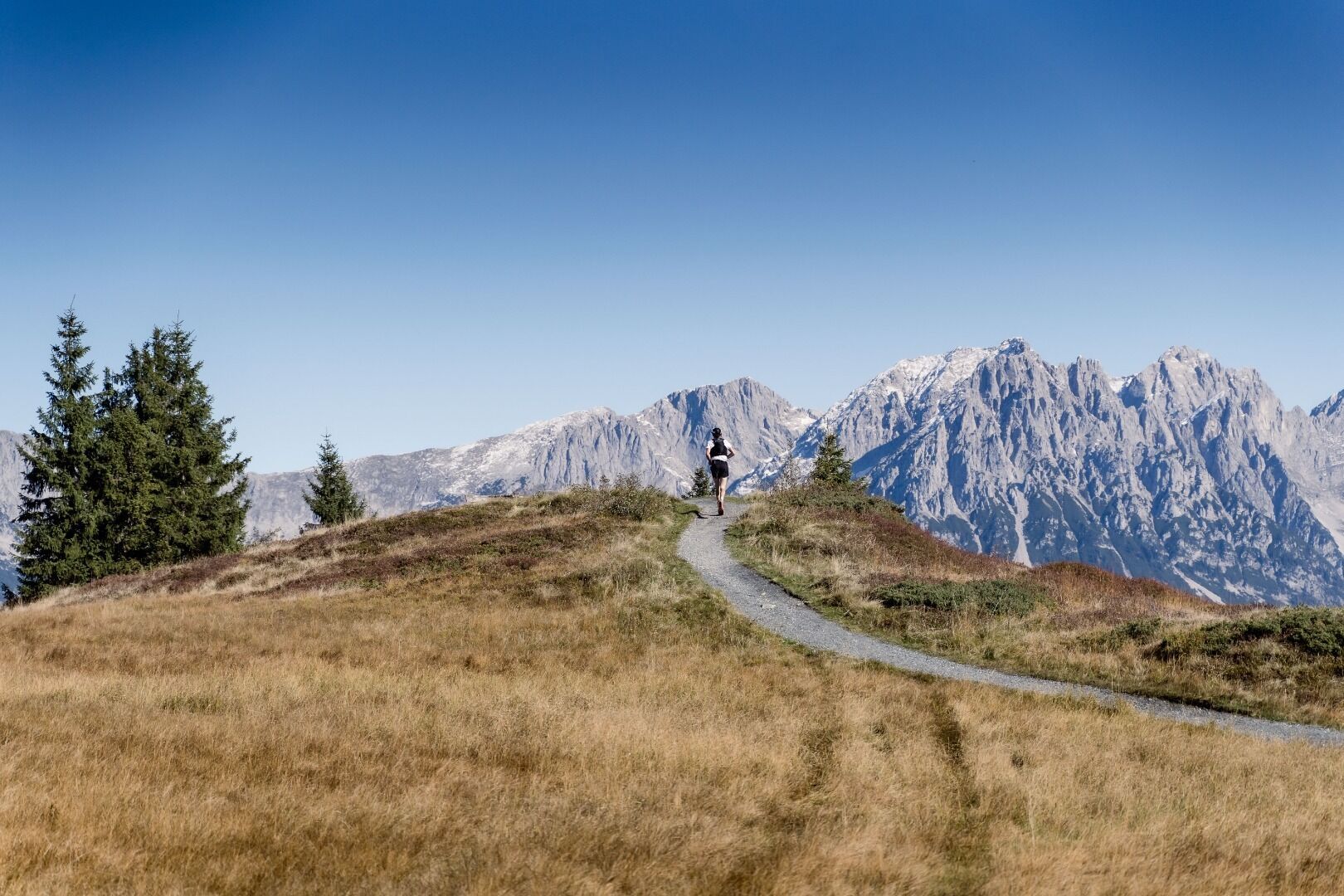
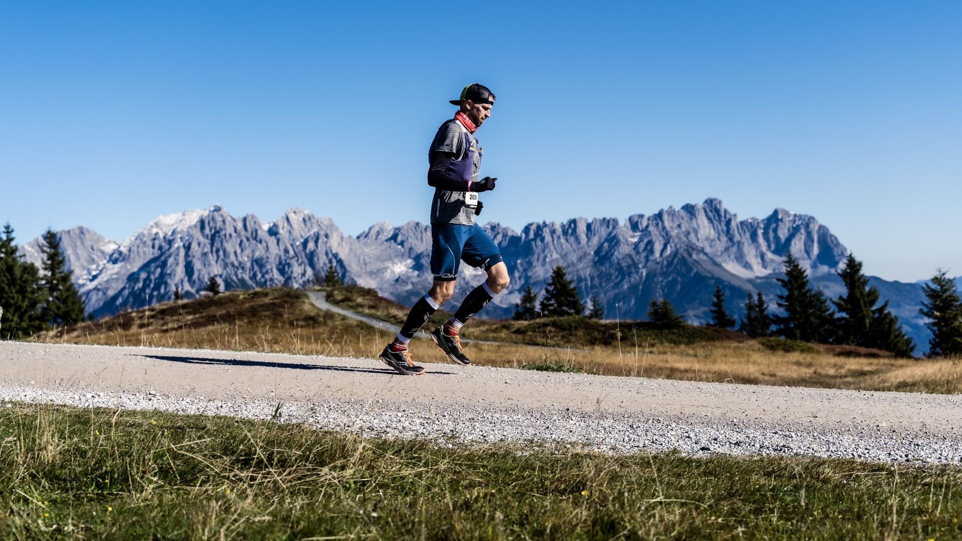
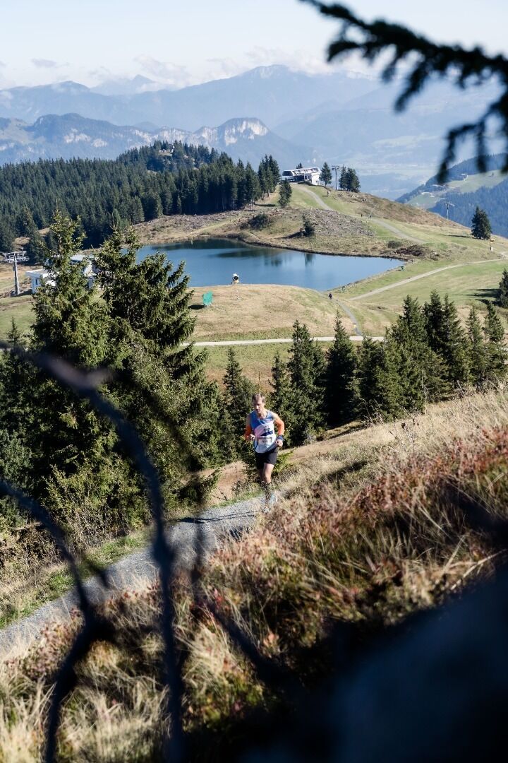
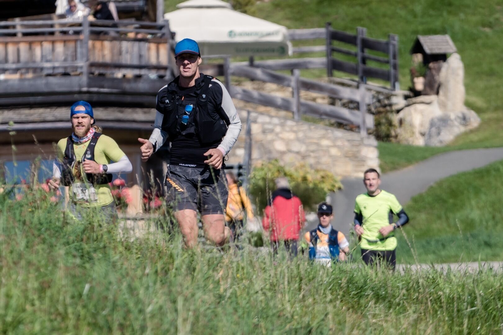
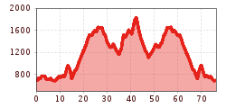
The Kaisermarathon Ultra starts in the village centre of Söll – at the same time as the Kaisermarathon – and first leads to the Alpenschlössl, then back through the village centre. It continues via Scheffau to Ellmau and on to the Rübezahlalm. The route then leads to the Bergkaiser panorama restaurant. It continues along hiking trails to the Tanzboden, then via the Jochstubensee lake to the Filzalmsee lake and on to Hexenwasser. The steepest section runs along narrow and steep hiking trails to the finish at the summit of the Hohe Salve. From here, only ultra runners who have completed the stage in under 6 hours can continue – down via Rigi to the Kraftalm, then via Stöcklalm to Hexenwasser. From Hexenwasser, with a direct view of the Wilder Kaiser, the route continues via Tanzboden, Ellmau and Scheffau back to the finish in the village centre of Söll.

More tours in the surrounding area

Newsletter

The mountain is calling? So does our newsletter!

In our monthly newsletter we reveal the best holiday tips for Tyrol.