


Length:22.8 kmElevation uphill:1,110 m
TschirgantSkyRun TS16
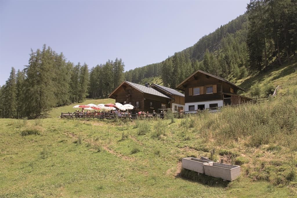
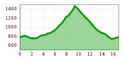
The Tschirgant Sky Run TS16 is perfect for both beginners and ambitious trail runners. After a short loop through the Gurgltal Valley, the route leads across rolling meadows to Karrösten. A beautiful forest path leads up to the Karrösteralm, the highest point. The geo-educational trail and a forest path lead relatively directly back to Karrösten, where a narrow trail leads back to Imst and ends at the stadium.


.JPG")


 Andi Frank_TVB PillerseeTal (133).jpg")
")

.png")

