


Length:22.8 kmElevation uphill:1,110 m
TschirgantSkyRun TS52
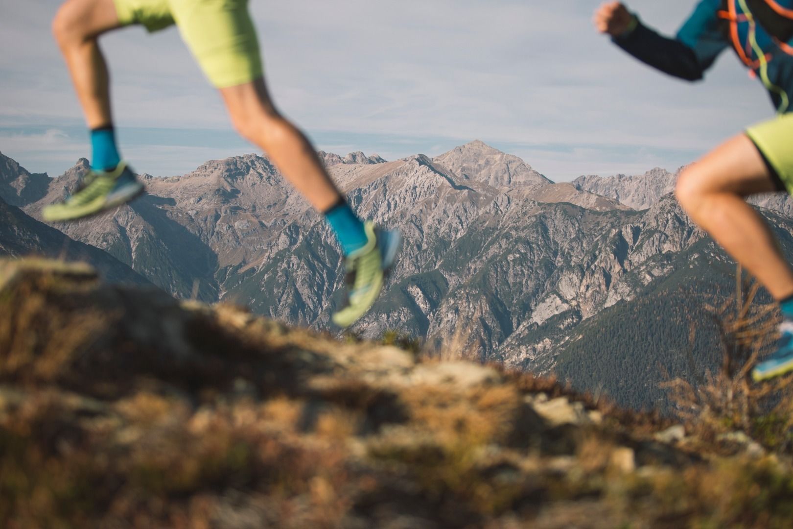
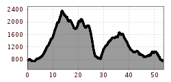
A truly unique ultra trail. Technically challenging, with unforgettable scenery. From the peak of the Tschirgant to the Simmering, you'll always be on the ridge between the Gurgltal and Inntal valleys. A technical, root-covered trail leads down to Nassereith before the next climb. The route continues across the Kohlstattsee to the Sinnesgatter, then along the Starkenberger Panoramaweg back to Imst. There are also numerous other highlights here, such as the high Salvesenschlucht Gorge, the Starkenbergersee, and the Rosengarten Gorge.


.JPG")


 Andi Frank_TVB PillerseeTal (133).jpg")
")

.png")

