
Opening hours:Open today
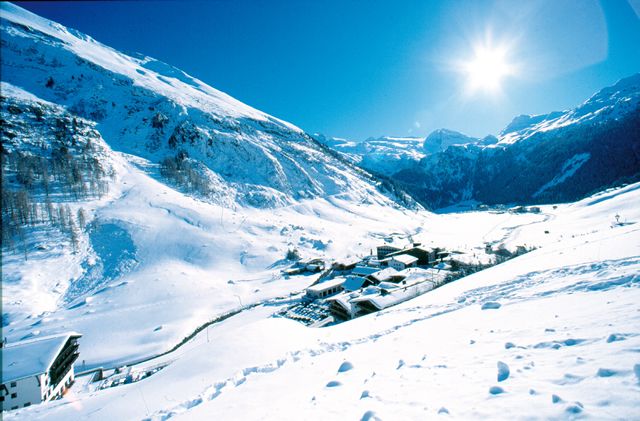
Place:Tux
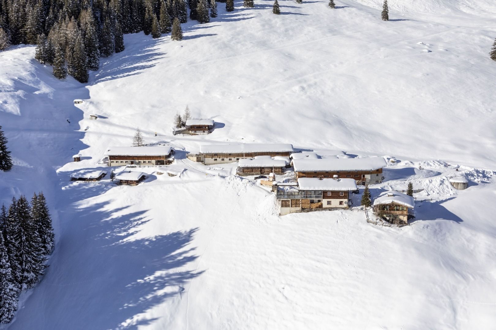
:Restaurant, Alpine pasture / hut / mountain restaurant
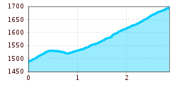
Pleasant ascent with a view of Hintertux and the surrounding mountains.
Sports shoes with good thread sole – BETTER: light hiking shoes
Clotihing suitable for the weather
Sunscreen
Drinks and food
From the village square to the Hotel Hohenhaus (house no. 774) - turn right and follow the mountain road past house Windegg (house no. 748) and house Christina (house no. 740) untill the crossing. Here turn left and take the goods track (path no. 17) to Bichlalm.
Linienbus
4104
Bus stop Tux-Hintertux Feuerwehr
The closest public car park is located at the bottom station of the Hintertux Glacier, which is about a 15 minute walk to the starting point, just follow the main street L6 and you will get there.
