
Opening hours:Open today
Place:Scharnitz
:café
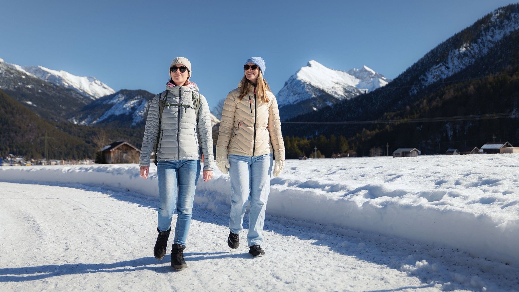
Scenic and easy winter hike from Scharnitz to Gießenbach.


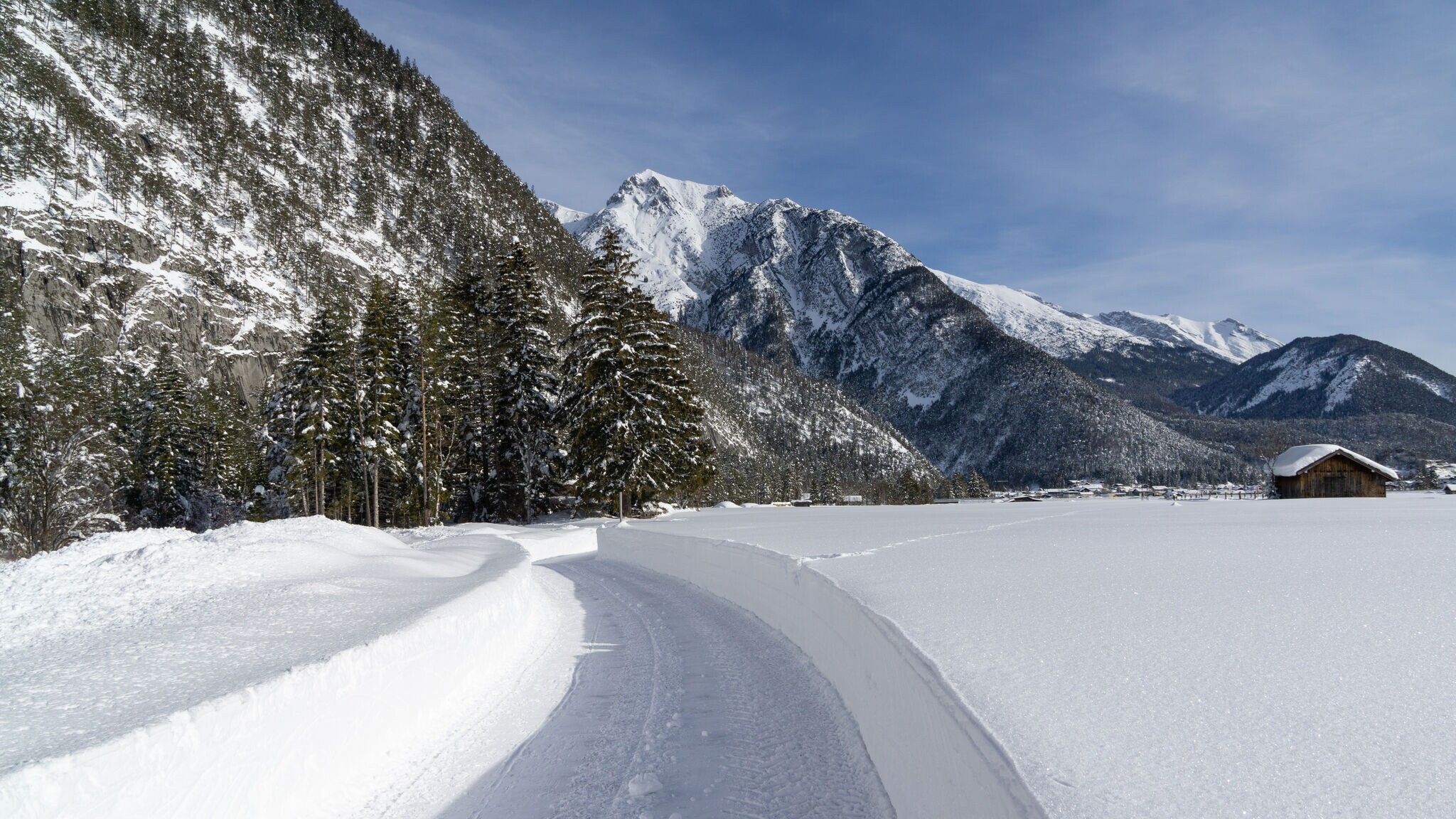

Cleared winter hiking trail.
Find all the latest information about the status of winter hiking trails, toboggan runs and ice skating rinks in our Winter Sports Report for the Region Seefeld.
Wear multiple layers, warm gloves, hat, waterproof jacket and pants, as well as waterproof winter hiking boots.
For better support and comfort, poles and crampons (spikes) are helpful, especially in difficult conditions.
This is a cleared winter hiking trail. However, icy or slippery spots may still occur.
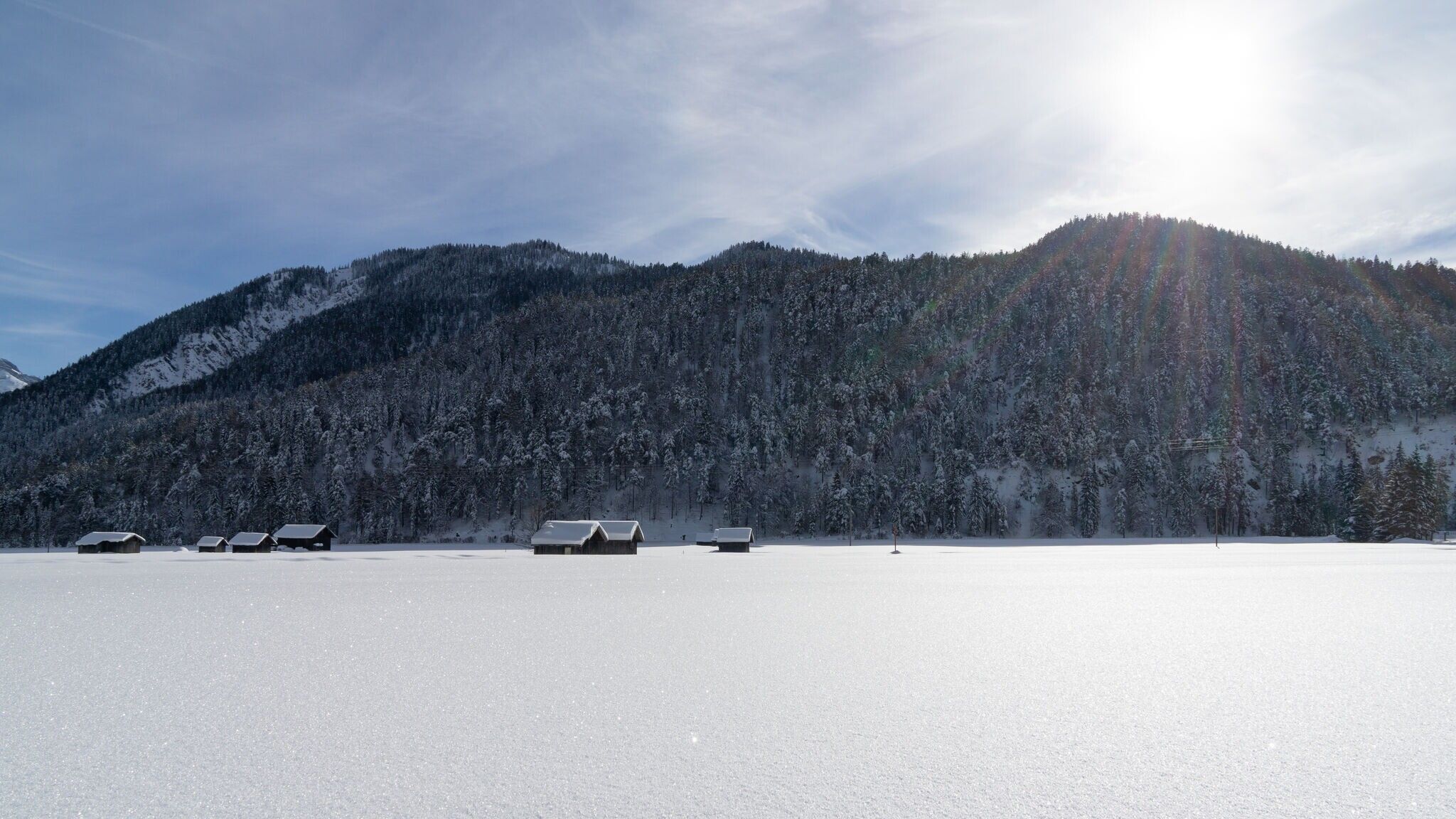
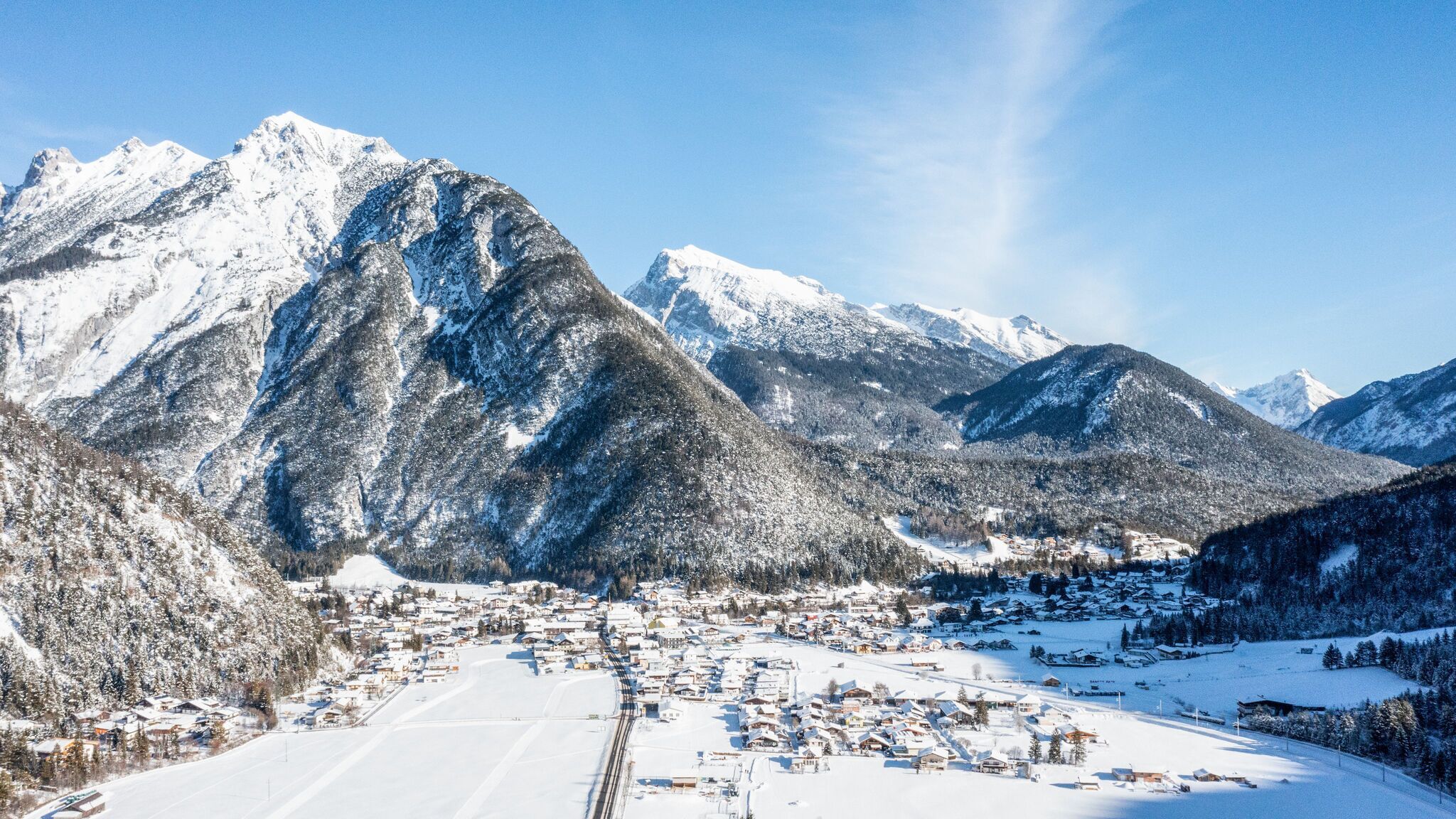
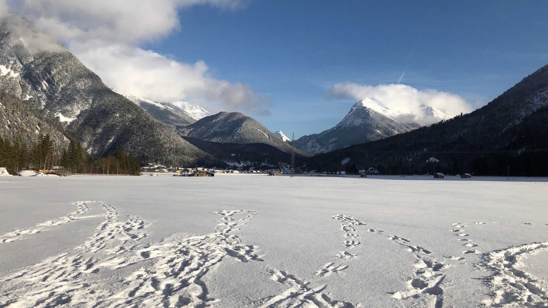
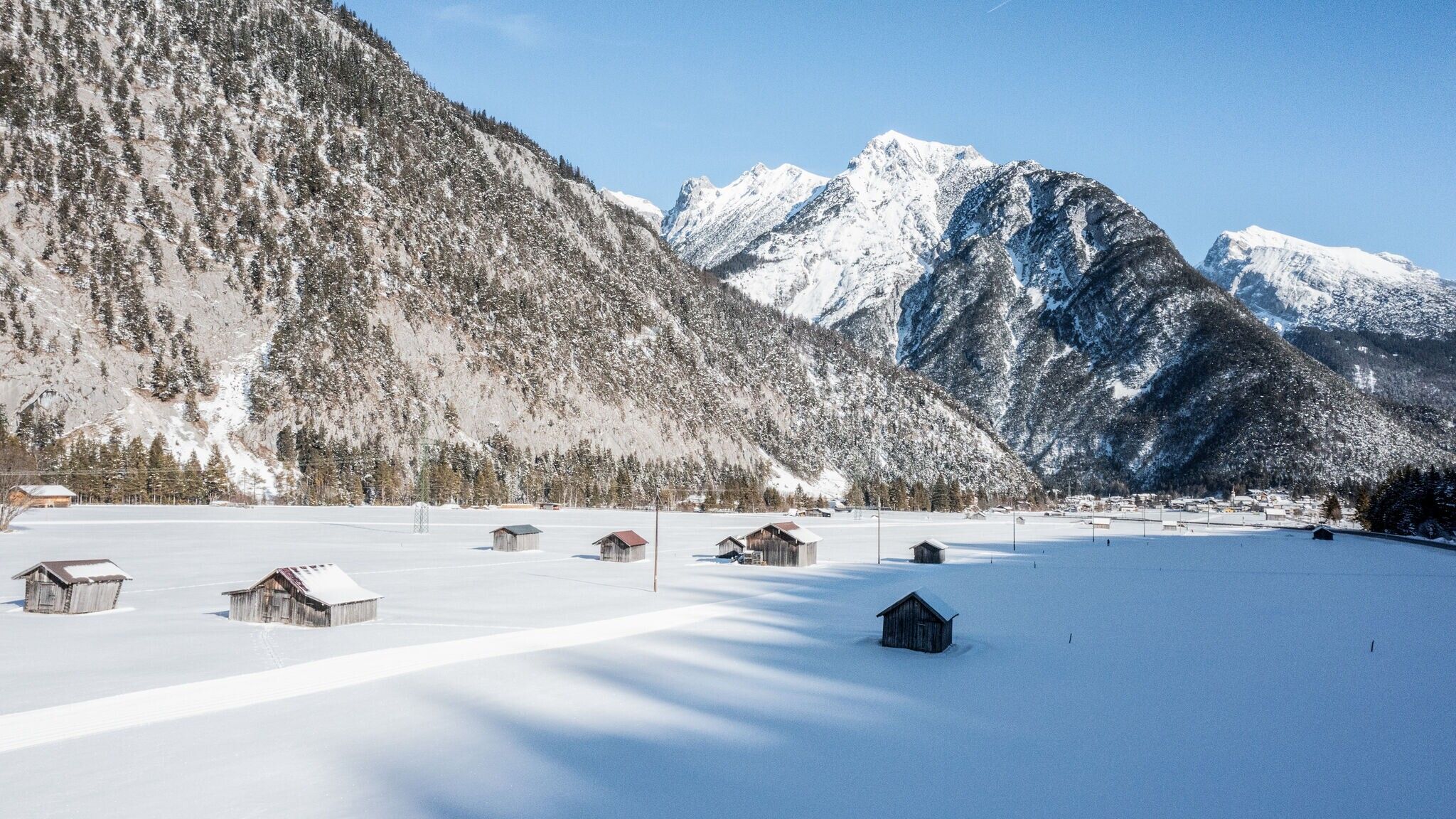
This picturesque winter hike through the Scharnitz nature takes you along a relaxed path by the idyllic Gießenbach stream. Starting at the Scharnitz Nature Park Info Center, it's the perfect opportunity to enjoy the winter landscape at a leisurely pace and catch stunning views.
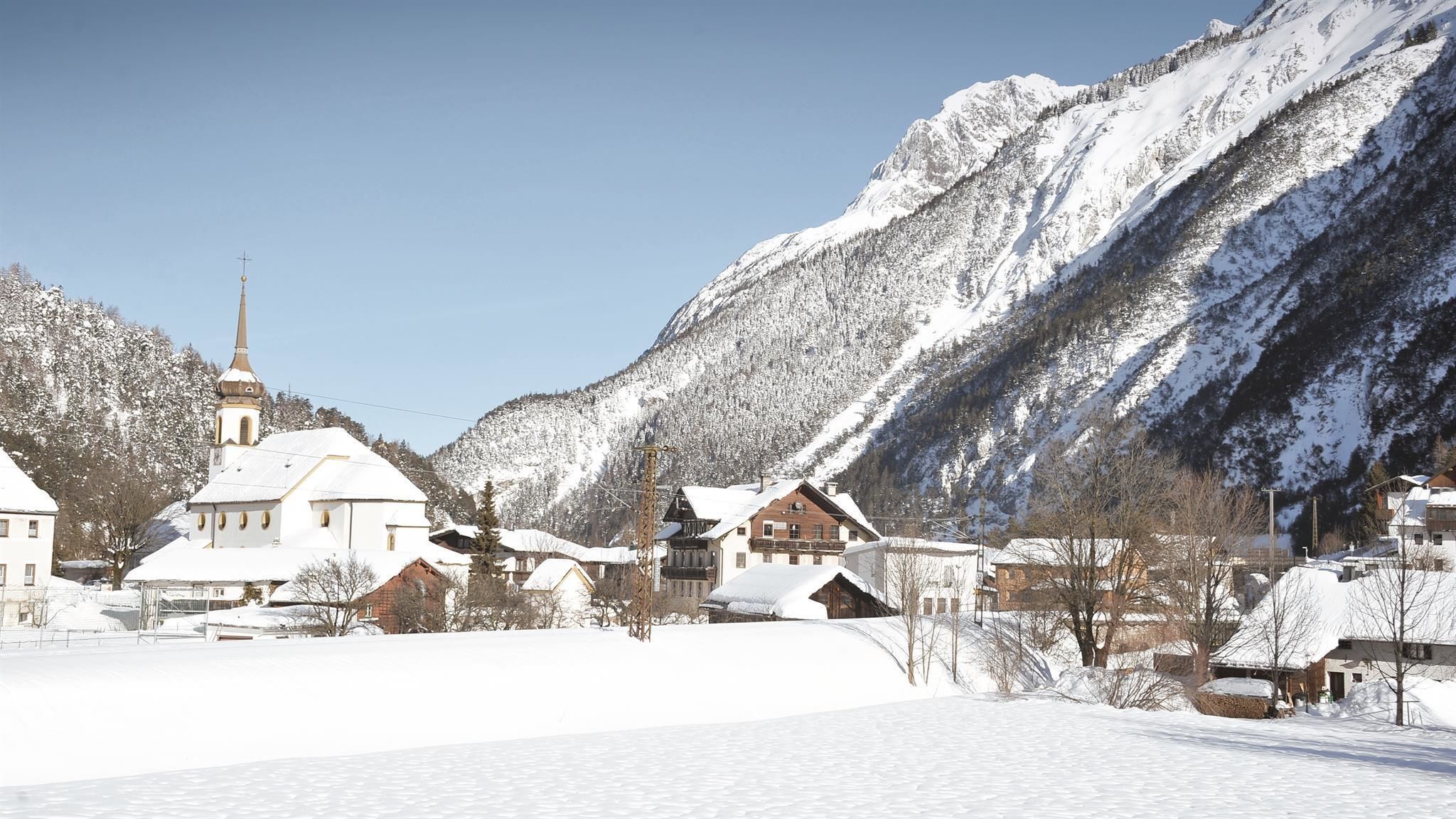
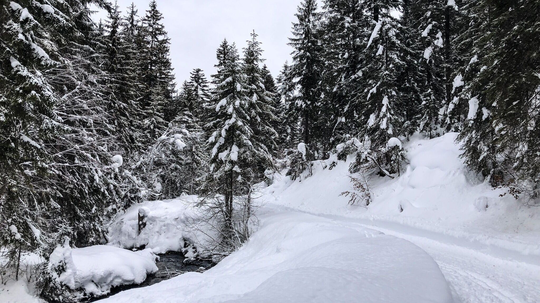
The cozy, short winter hiking loop begins at the Nature Park Info Center Scharnitz and initially follows a short section along the Isar promenade until reaching the Maria Hilf parish church. After crossing the main road, continue on the other side along the Hirlanda-Ellmann trail through the village. At the next fork, the path first turns right, then left, leading you directly to Gießenbach. Here, the trail meanders alongside the rushing stream, bordered by snow-covered banks, creating a magical backdrop.
Once you reach Gießenbach, it's a great spot for a short break. Right by the trail, as you enter the village, you'll find the Gasthof Ramona—ideal for a quick snack or a warming hot drink.
After a brief rest, you can also take a stroll around the charming village. You can return via the same route or alternatively take the train from Gießenbach train station back to Scharnitz.
Highlights and viewpoints:
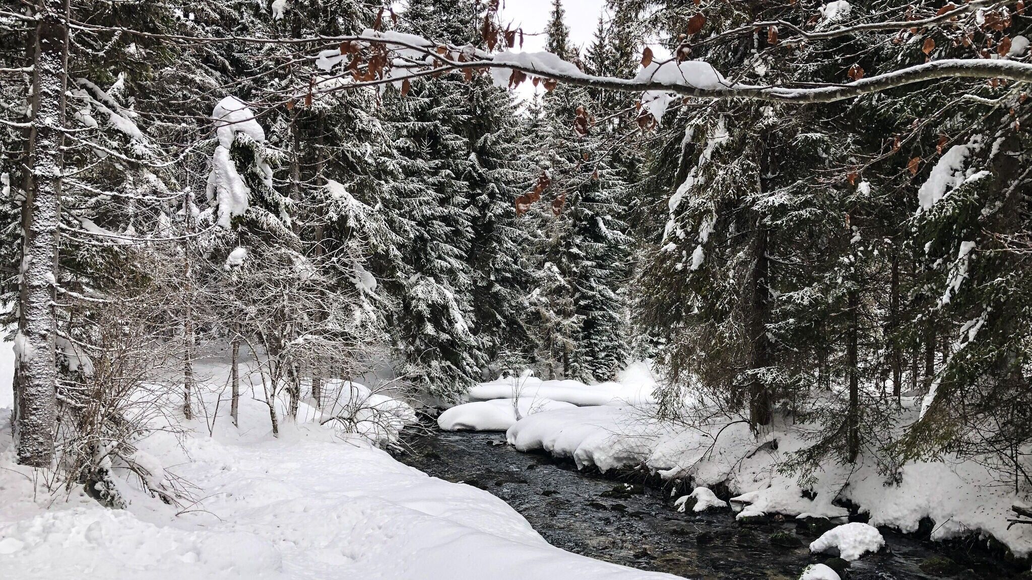
• Nature paradise Gießenbach
• Maria Hilf parish church
Options for shortening:
• The return can also be shortened by taking the train from Gießenbach station back to Scharnitz.
By train to Scharnitz train station, then a 10-minute walk to the starting point at the Nature Park Information Center.
All real-time connections can be found in the route planner.


.jpg")


.jpg")
 (2).jpg")


