Winter hike Winter Hiking Trail Eng - Hinterriss

Vomp / Karwendel
Difficulty ratings: easy
Route length: 15.0 km
Duration: 4:00 h

A breathtaking winter hike awaits you in the Risstal Valley – along quiet, snow-covered paths and mysterious mountain slopes.

Tour information

  • Requirement: easy
  • Length: 15.0 km
  • Duration: 4:00 h
  • Elevation uphill:130 hm
  • Elevation downhill:125 hm
Highest point1,080 m

Starting point

Parking lot Mautstelle Hinterriss

Finishing point

Eng

Best time of year

  • January
  • February
  • March
  • April
  • May
  • June
  • July
  • August
  • September
  • October
  • November
  • December

Trail condition

Prepared winter hiking trail

Equipment

    • Waterproof, functional winter clothing
    • Sun protection
  • Source: Silberregion Karwendel

    Description

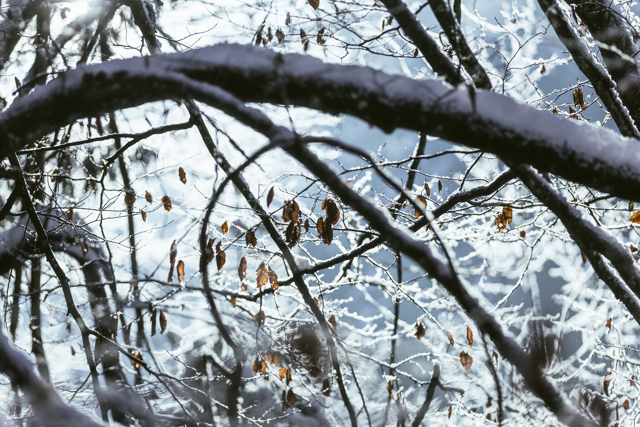
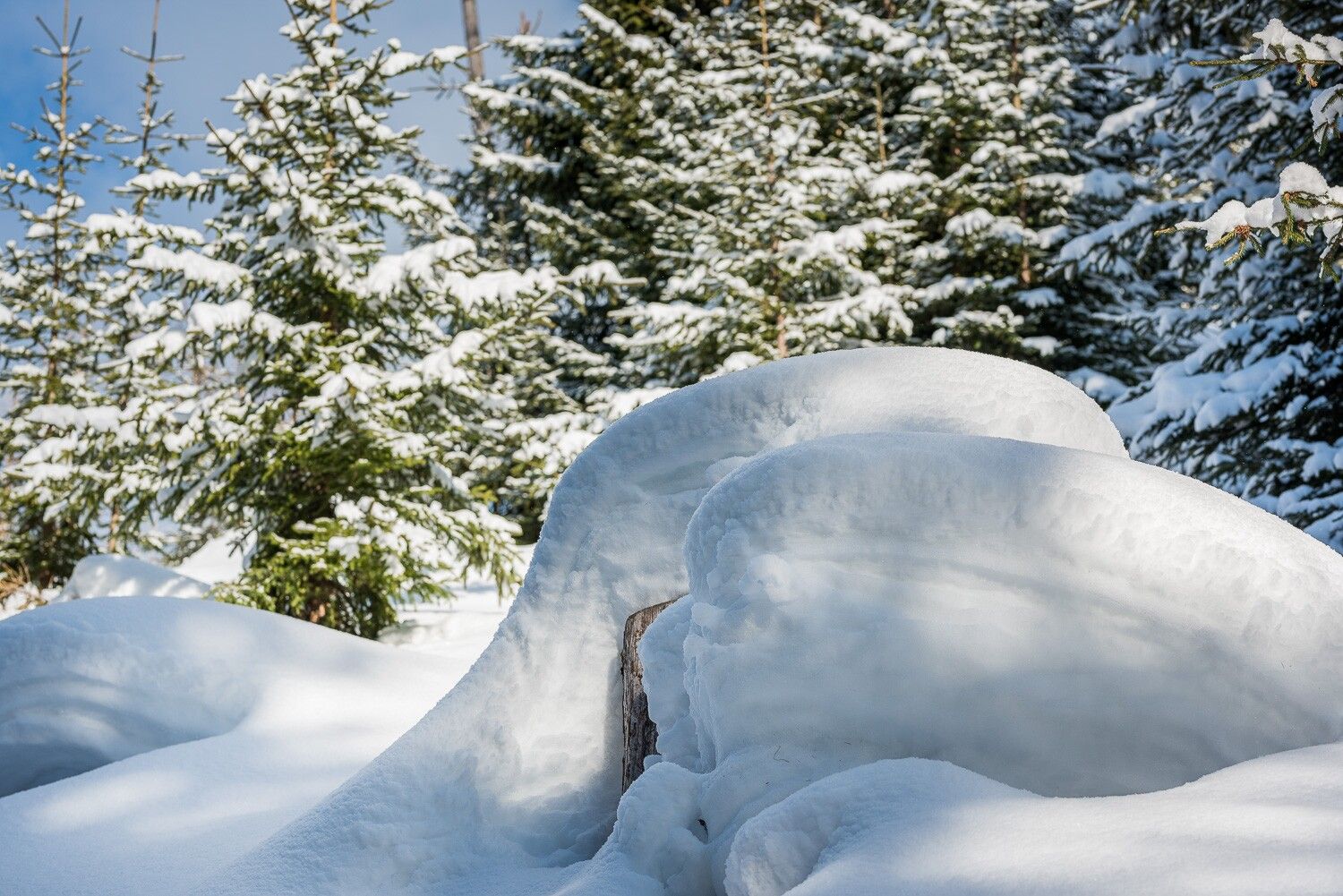
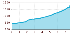
    On a prepared winter hiking trail with crunching snow underfoot and picture-perfect views, the route leads from the Hinterriss toll station to the Loachwald forest. As the Rißtal valley is closed to traffic in winter, this makes for an excellent winter sports route from Hinterriss to the rear part of the Risstal valley – the Eng (7.6 km) and back (15.2 km in total).

    Getting here

    • Parking

      Parking spaces at toll booth, cleared up to Hagelhütte

    Newsletter

    The mountain is calling? So does our newsletter!

    In our monthly newsletter we reveal the best holiday tips for Tyrol.