Weitwanderung Peter Habeler Runde © Archiv TVB Mayrhofen Long-distance hike: Peter Habeler RundeDifficulty:difficultLength:56.7 kmDuration:25:00 hElevation uphill:3,705 mSee trailSee trail: Long-distance hike: Peter Habeler Runde
Langlaufloipe A11 Bodenalm © Region Seefeld Barrier-free trail Bodenalm | A11Opening hours:closedDifficulty:easyLength:10.7 kmElevation uphill:60 m:Style: Skating, ClassicGo to Cross-country skiing trailGo to Cross-country skiing trail: Barrier-free trail Bodenalm | A11
Langlaufen auf der Loipe Plaik © Region Seefeld, Moritz Klee Plaik-Loipe C9Opening hours:closedDifficulty:difficultLength:8.7 kmElevation uphill:169 m:Style: Skating, ClassicGo to Cross-country skiing trailGo to Cross-country skiing trail: Plaik-Loipe C9
Wandern am Penken © Christian Lorenz Themed hike: Mayrhofen "PanoramaRundWeg" at Mount PenkenDifficulty:easyLength:4.4 kmDuration:1:45 hElevation uphill:195 mSee trailSee trail: Themed hike: Mayrhofen "PanoramaRundWeg" at Mount Penken
Benni-Raich-Brücke_0518_001.jpg © TVB Pitztal/Chris Walch Arzl - Benni-Raich-Bridge - WaldDifficulty:easyLength:1.8 kmDuration:0:40 hElevation uphill:120 mSee trailSee trail: Arzl - Benni-Raich-Bridge - Wald
Arzler Alm 1 © TVB Pitztal/Chris Walch Arzler Alm – TiefentalalmDifficulty:mediumLength:11.3 kmDuration:5:00 hElevation uphill:1,000 mSee trailSee trail: Arzler Alm – Tiefentalalm
Give feedback for a chance to win a special holiday experience!Click here for the surveyClick here for the survey
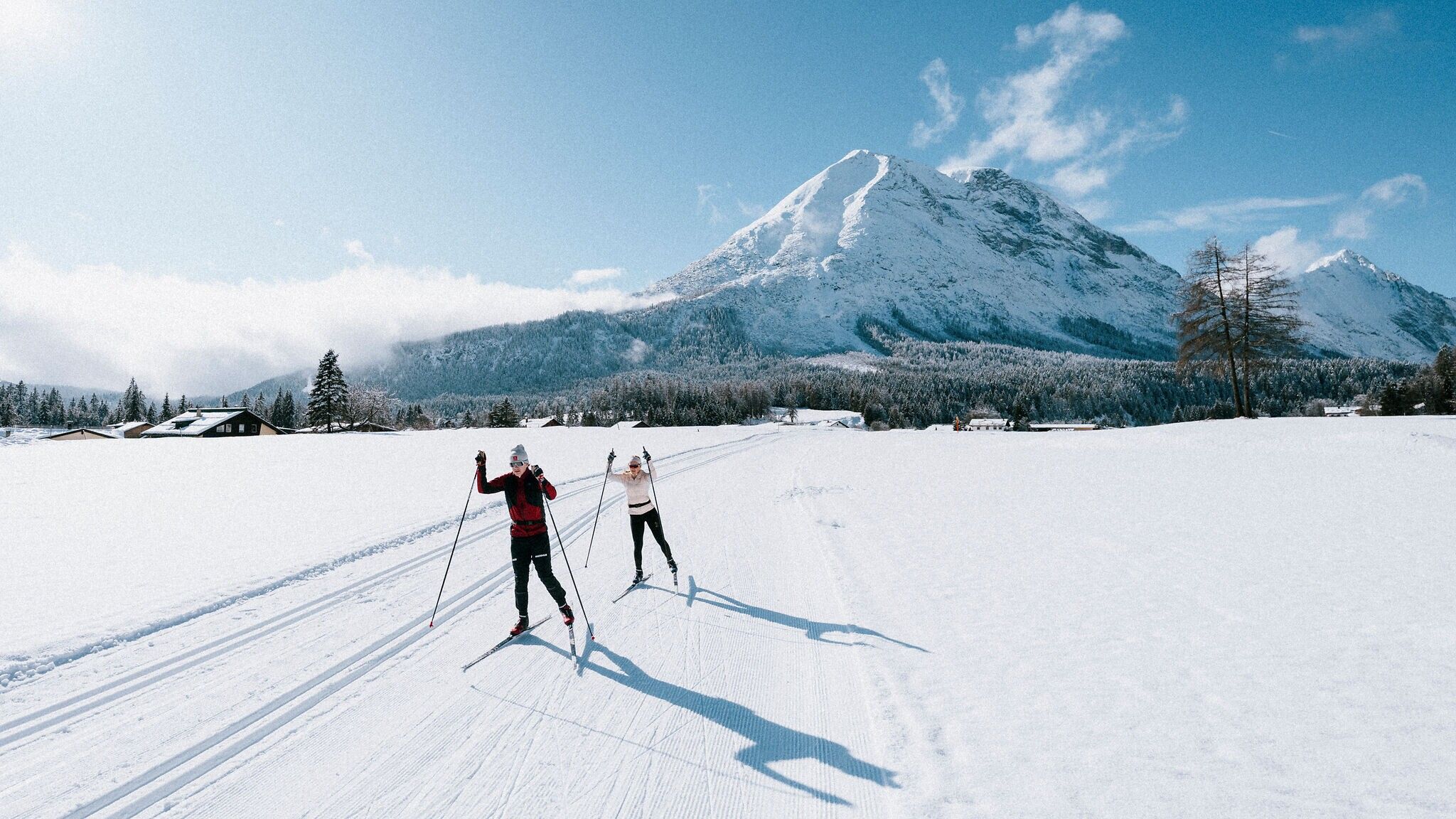 Langlaufen auf der Loipe Plaik
© Region Seefeld, Moritz Klee
Langlaufen auf der Loipe Plaik
© Region Seefeld, Moritz Klee



