
Arrival by public transport
By train to Sonthofen, Pfronten/Ried or Reutte, then by bus to Tannheim.
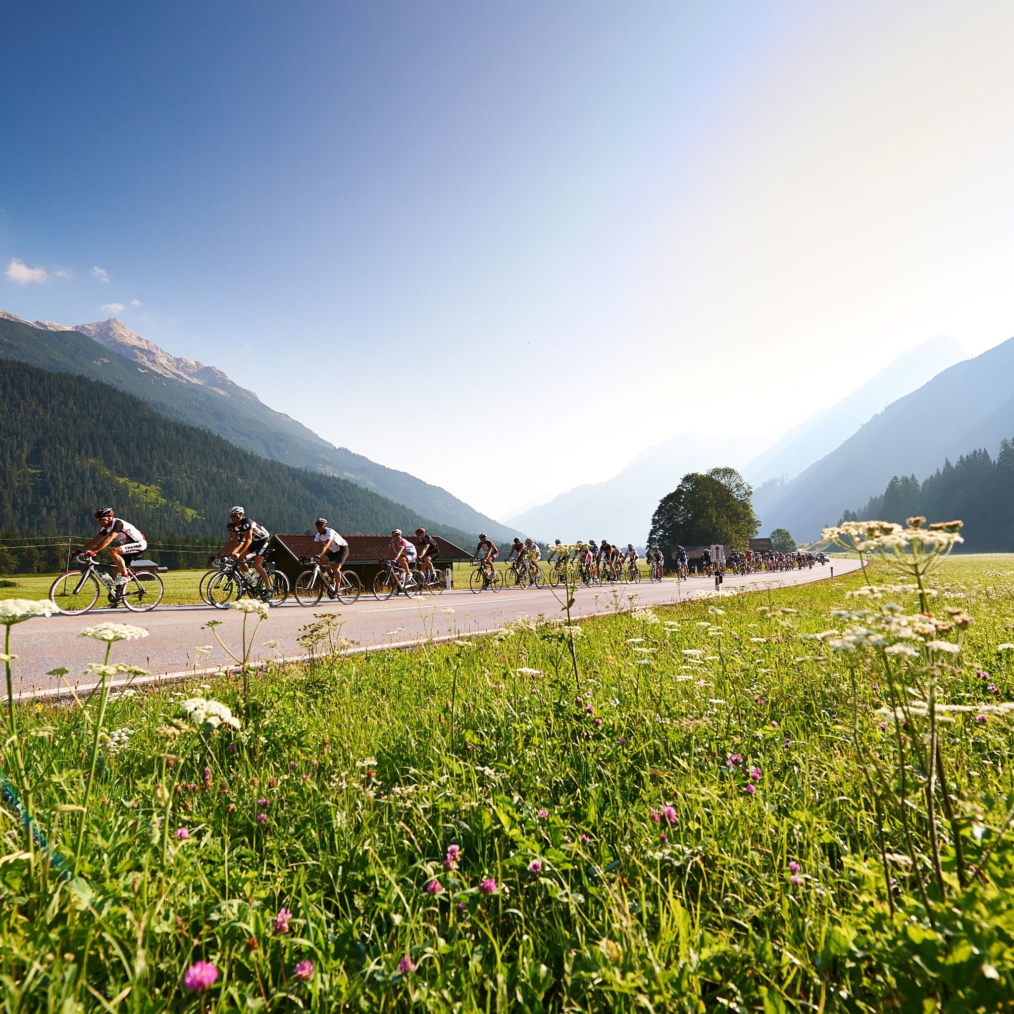
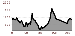
On Sunday, July 6, 2025, participants will cover 214 kilometers as well as 3,500 meters of elevation on the long route. Start and finish are located in the Tannheimer Tal, right in the center of Tannheim. From there the route leads through the Allgäu and then onto Germany's highest mountain pass road – the Riedberg Pass, at 1,407 meters above sea level. Then it continues in and through the Bregenzerwald, over the Hochtannberg Pass at 1,676 meters above sea level and through the Lech Valley to Weißenbach. 16 kilometers before the finish, the Gaicht Pass with 220 meters of elevation awaits before returning to the starting point in the Tannheimer Tal.
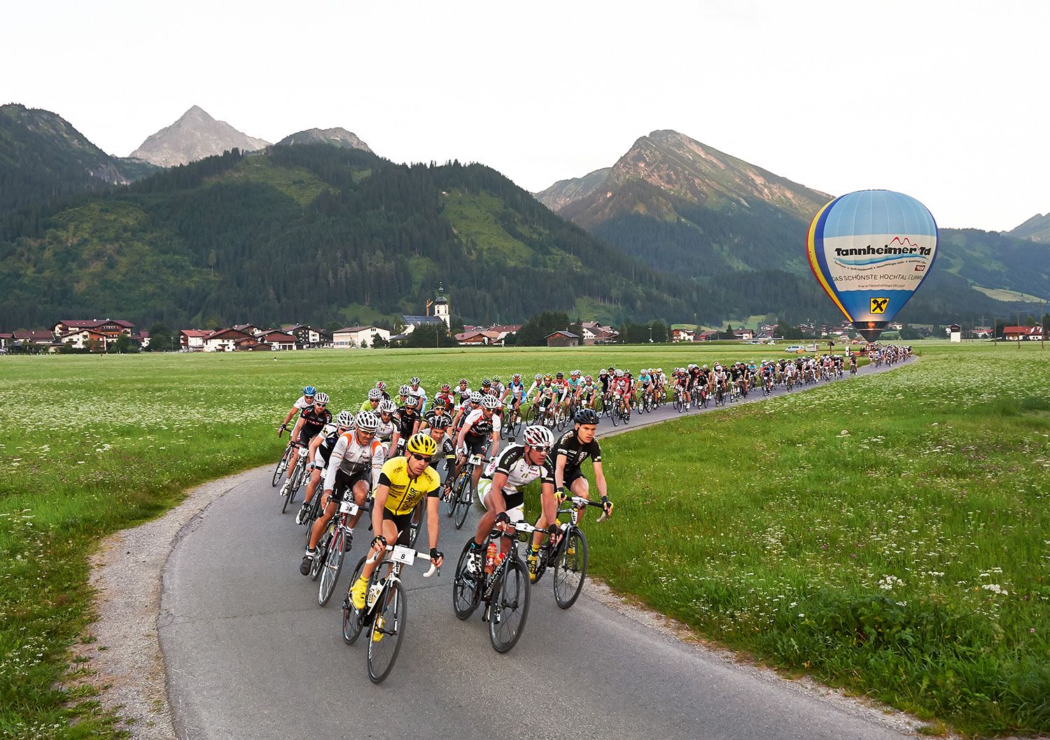
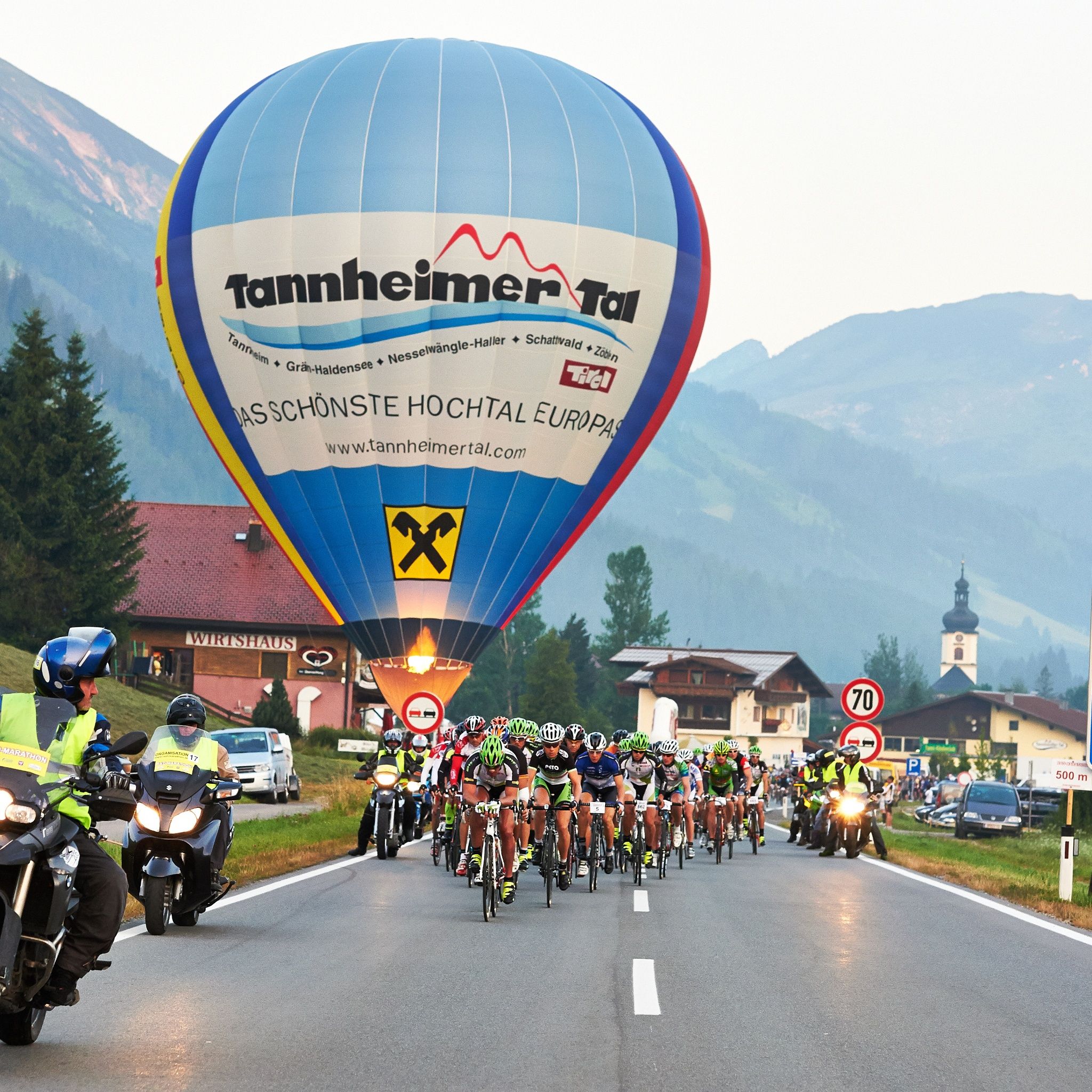
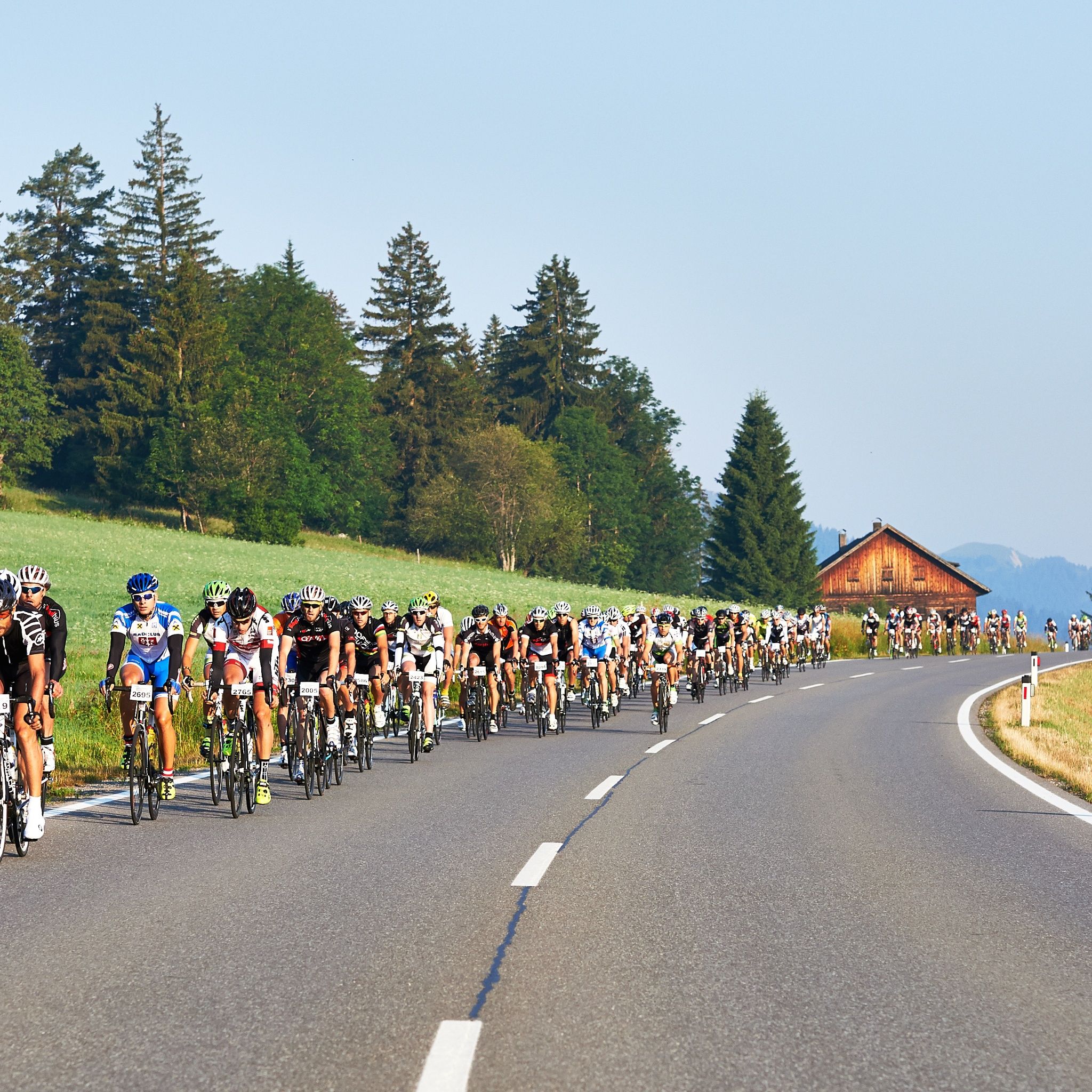
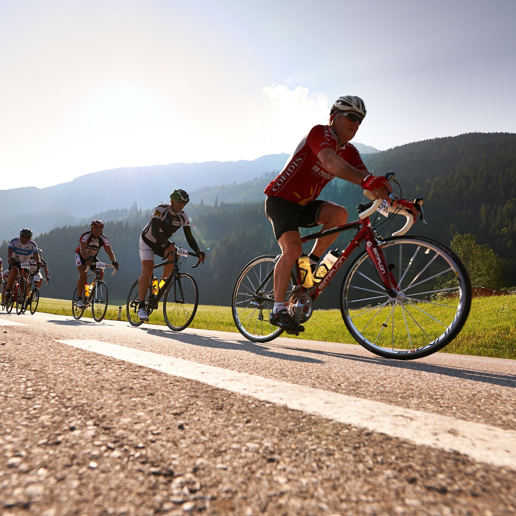
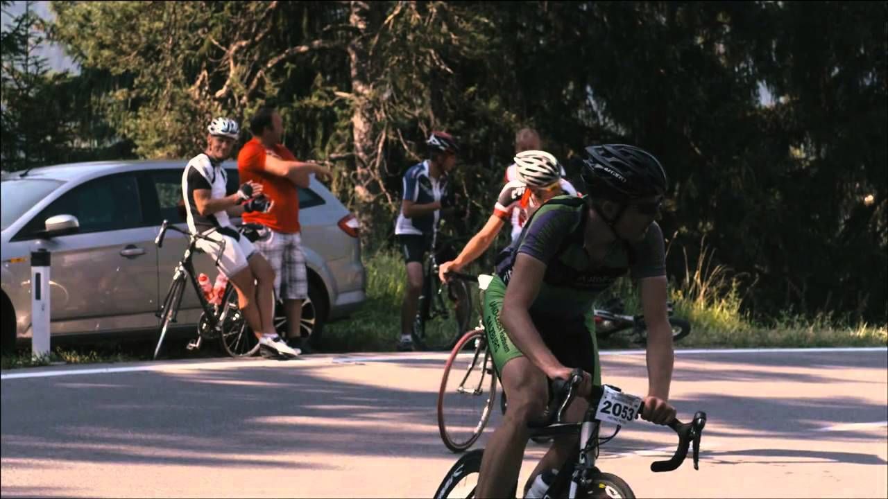
It should be noted that road cycling can have an increased risk of accidents and injuries. Despite careful route planning, there is always an inherent risk. Route preparation through endurance sports, appropriate training and further education as well as personal caution reduces accident risk and hazards.
Road bike is recommended.Wearing a helmet is mandatory.LIGHT REQUIREMENT through the tunnels at the Riedberg Pass and in the Bregenzerwald (Vorarlberg).Each participant must carry a spare tube.Support vehicles are unwelcome – please also adhere to this!!The traffic regulations apply. General valid and usual behavior rules.
"The RAD-MARATHON leads over Oberjoch, Wertach, Kranzegg to Rettenberg and further to Immenstadt. From there the first bigger ascent leads to Gunzesried and the descent towards Bihlerdorf. Then over Hörnerdorf to Ofterschwang and Obermaiselstein to the Riedberg Pass," announces race director Michael Keller. There the highest pass in Germany is crossed. At 1,407 meters and a maximum gradient of 16 percent, it is the most difficult part of the route. "The Riedberg Pass is already a demanding section, as with a length of 8.7 kilometers and 620 meters of elevation gain it is tough. From Obermaiselstein the road is very steep and winding – a real mountain pass road. That makes it a real challenge," Keller knows. After that follows a long descent through Balderschwang into the Bregenzerwald. A tough climb after Müselbach, where the L200 is then reached. Followed by a short descent to Egg, where the route turns right in the town center and leads in rolling terrain towards Schwarzenberg. Then a moderate descent before the next ascent begins – so to speak into high mountains. "Overall 36 kilometers of continuous ascent from Bersbuch, with the final climb to the Hochtannberg Pass being over 13 kilometers and 900 meters vertical with a maximum of 14 percent. Here it becomes clear who has good fitness," says race director Keller. The route then leads downhill over Warth into the Lech Valley and from there with minimal gradient but often strong headwind to Weißenbach, where after 198 kilometers the Gaicht Pass poses the day's last hurdle. Before the finish in the Tannheimer Tal, the 4.4 km long pass road with 220 meters of elevation and an average gradient of 5% must be overcome. "The 214-kilometer route is really demanding but also scenically beautiful," confirm the former pro cyclists Marcel Wüst and Gerrit Glomser, who have been regular guests at the RAD-MARATHON for years.
By train to Sonthofen, Pfronten/Ried or Reutte, then by bus to Tannheim.
On the A7 motorway at the "Oy-Mittelberg" exit, take the B310 towards Wertach and Oberjoch. There follow the signs "Tannheimer Tal" B199, exit Tannheim, where sufficient paid parking is available.
From the Tyrol side via Reutte on the B198 in the direction of Lech Valley to Weißenbach, along the Gaicht Pass via the B199 to the Tannheim exit, where sufficient paid parking is available.
Parking lot P3 in Tannheim – paid


