Description
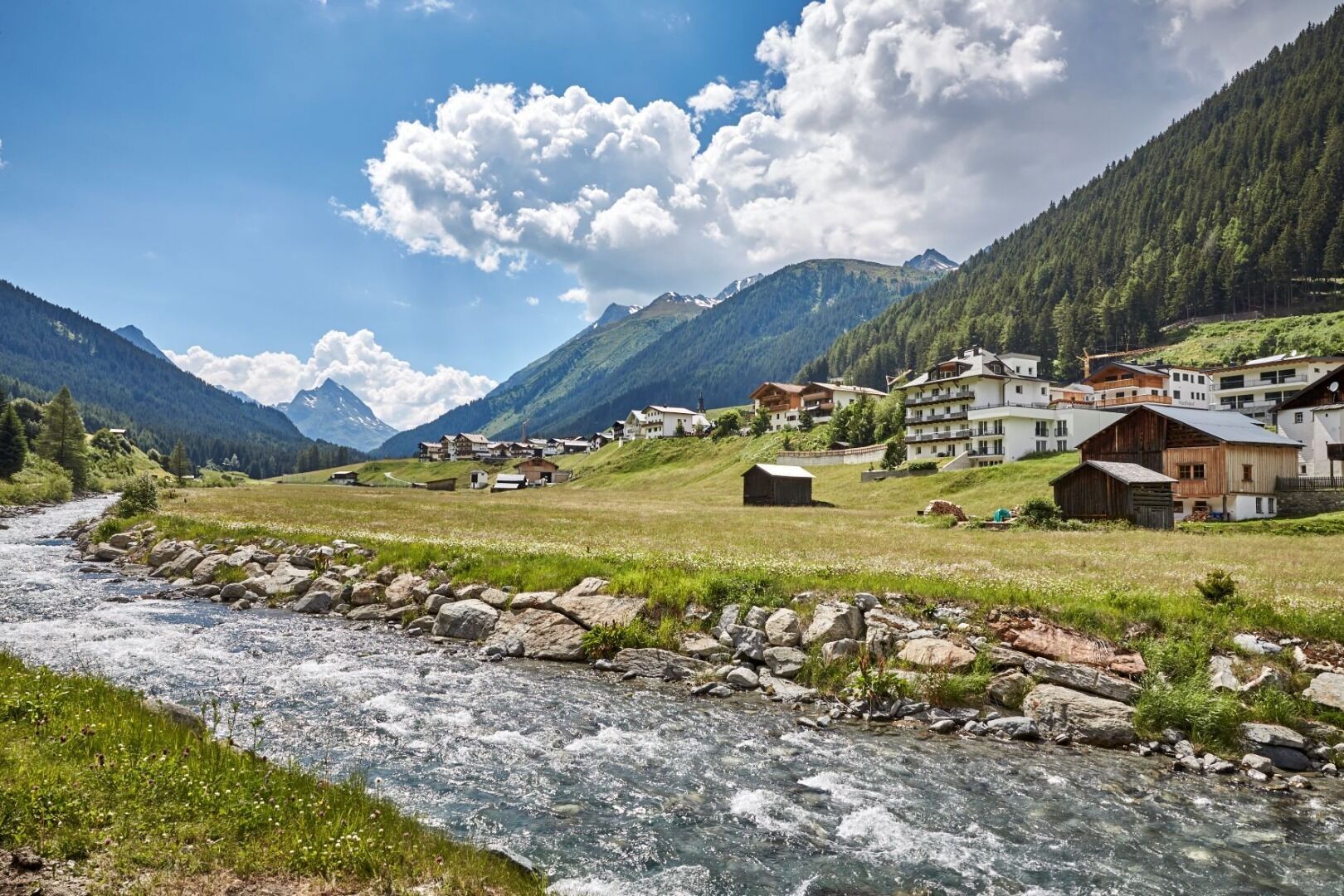
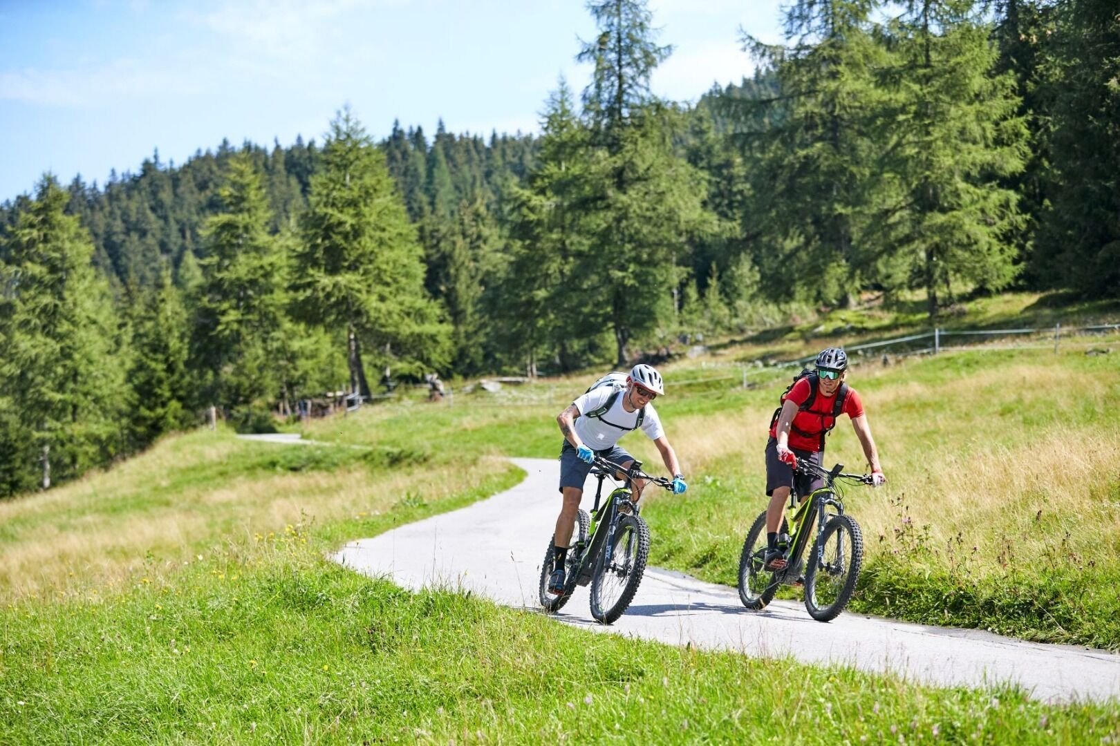
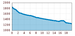
The continuously signposted Paznaun bike path connects the area between the Zeinisjoch at 1,800 metres and Kappl Ulmich (1,280 m). The entire route is 18 km and overcomes a good 600 metres in altitude. The path is asphalted throughout and has only slight inclines. The area between Galtür and the Zeinisjoch is not difficult, but somewhat steeper than the other sections. The cycle path connects the villages of Wirl, Galtür, Mathon, Ischgl and Kappl (hamlet of Ulmich) and offers repeated opportunities to take a break. In Ulmich the cycle path ends at the start of the Paznaun valley route, which then leads to See. Even though the physical and technical demands of this bike route can be classified as easy to moderately difficult, you are always in Alpine surroundings and can marvel at the mountain giants of the Silvretta, Samnaun and Verwall groups.