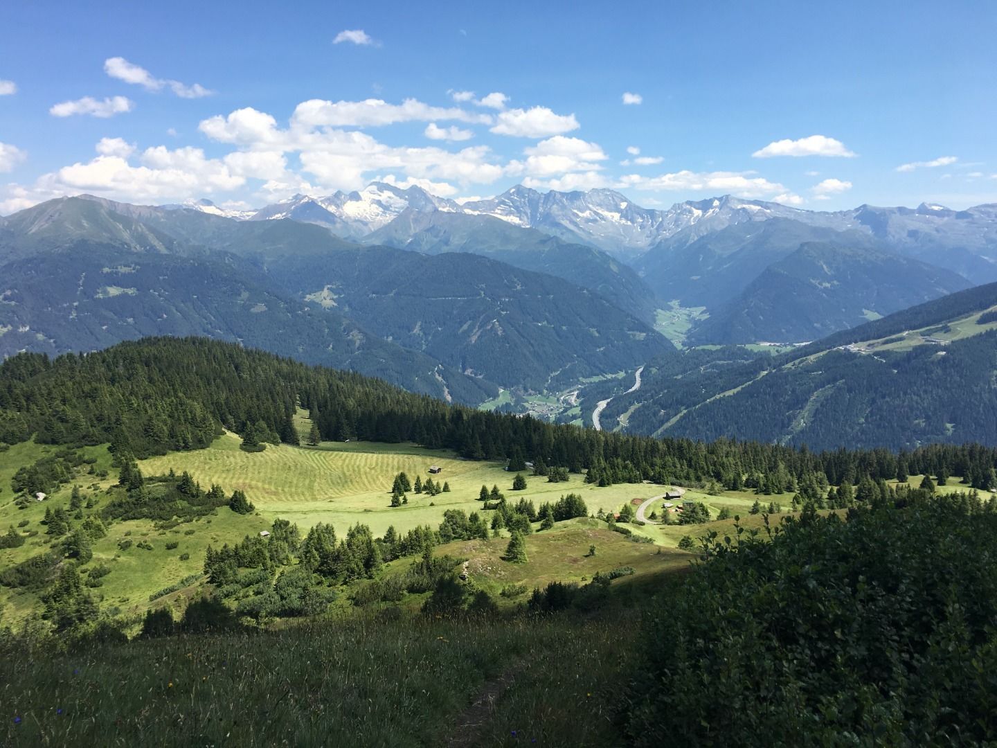
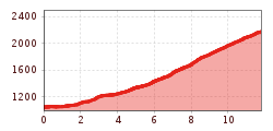
Open interactive mapOpen this POI on the interactive mapElevation profile5059 mountainbike Pflutschwiese - Blaser Hut.gpx
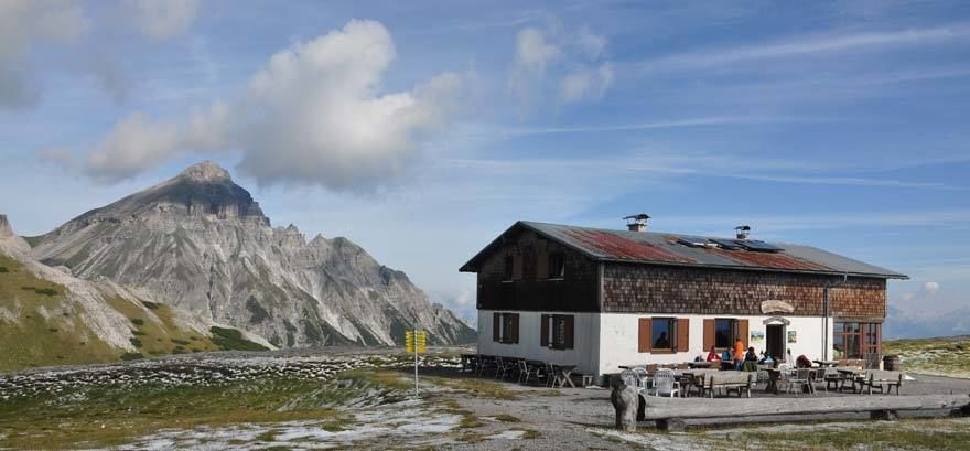
Blaser-Huette-Trins.jpg © Blaser Hütte Blaser Hut (2,176 m)Opening hours:closedPlace:Trins:Alpine pasture / hut / mountain restaurantsee restaurant detailssee restaurant details: Blaser Hut (2,176 m)
26955746.jpg © TVB Wipptal 530 mountainbike SattelalmDifficulty:mediumLength:4.0 kmDuration:1:00 hElevation uphill:423 mGo to biketourGo to biketour: 530 mountainbike Sattelalm
Navis, Stöcklalm_Tirol Werbung_Bitter Johannes_Navis (1) © Tirol Werbung | Johannes Bitter Naviser mountainbike Naviser Pasture RoundDifficulty:mediumLength:14.0 kmDuration:3:00 hElevation uphill:811 mGo to biketourGo to biketour: Naviser mountainbike Naviser Pasture Round
Gschnitztal Radweg © Helga Beermeister 45 GschnitztalradwegDifficulty:easyLength:15.3 kmDuration:2:30 hElevation uphill:256 mGo to biketourGo to biketour: 45 Gschnitztalradweg
Give feedback for a chance to win a special holiday experience!Click here for the surveyClick here for the survey


")

