
Arrival by public transport
By train to Sonthofen, Pfronten/Ried or Reutte, then continue by bus to Grän.
A not too difficult route that offers dreamlike highlights and views.
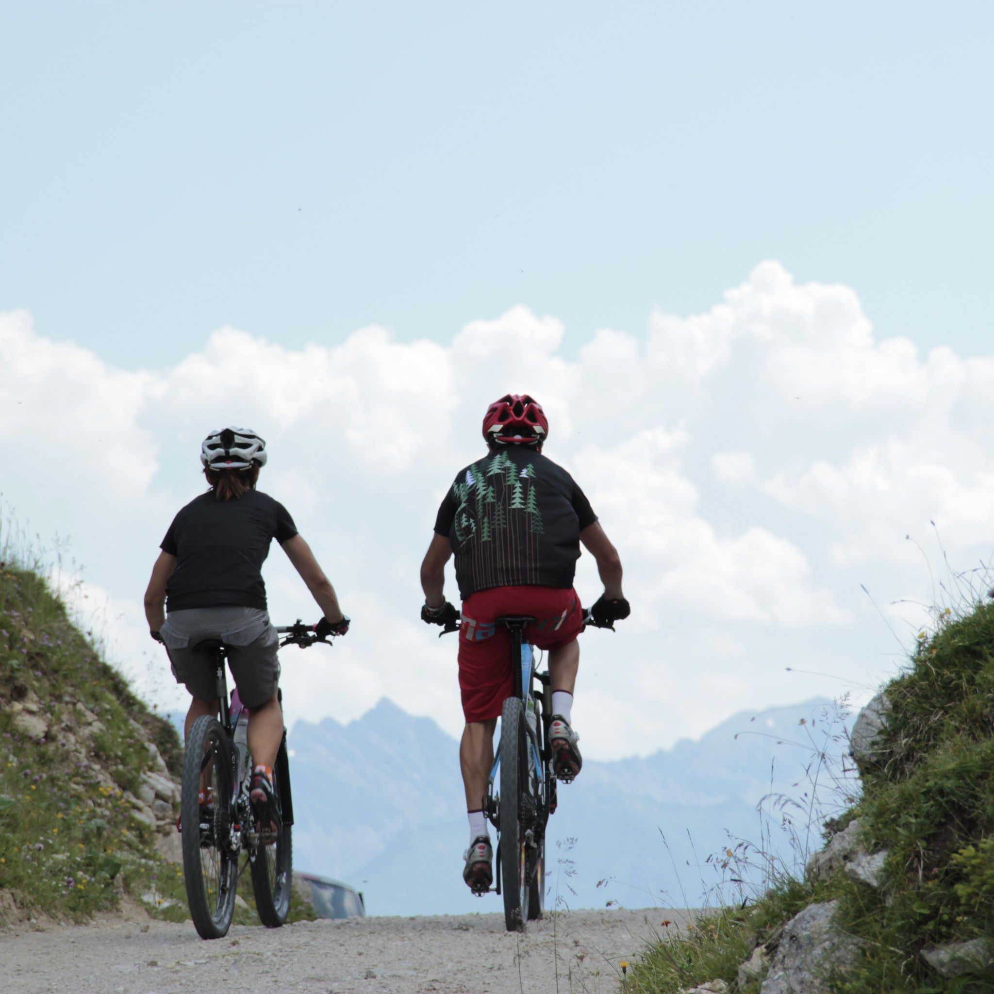
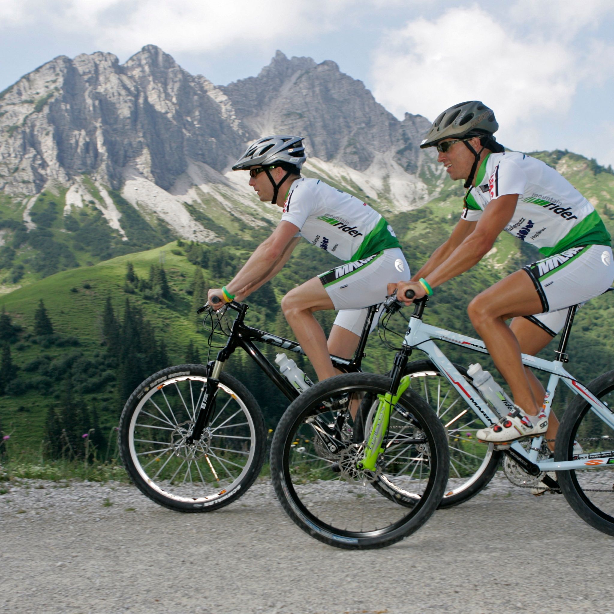
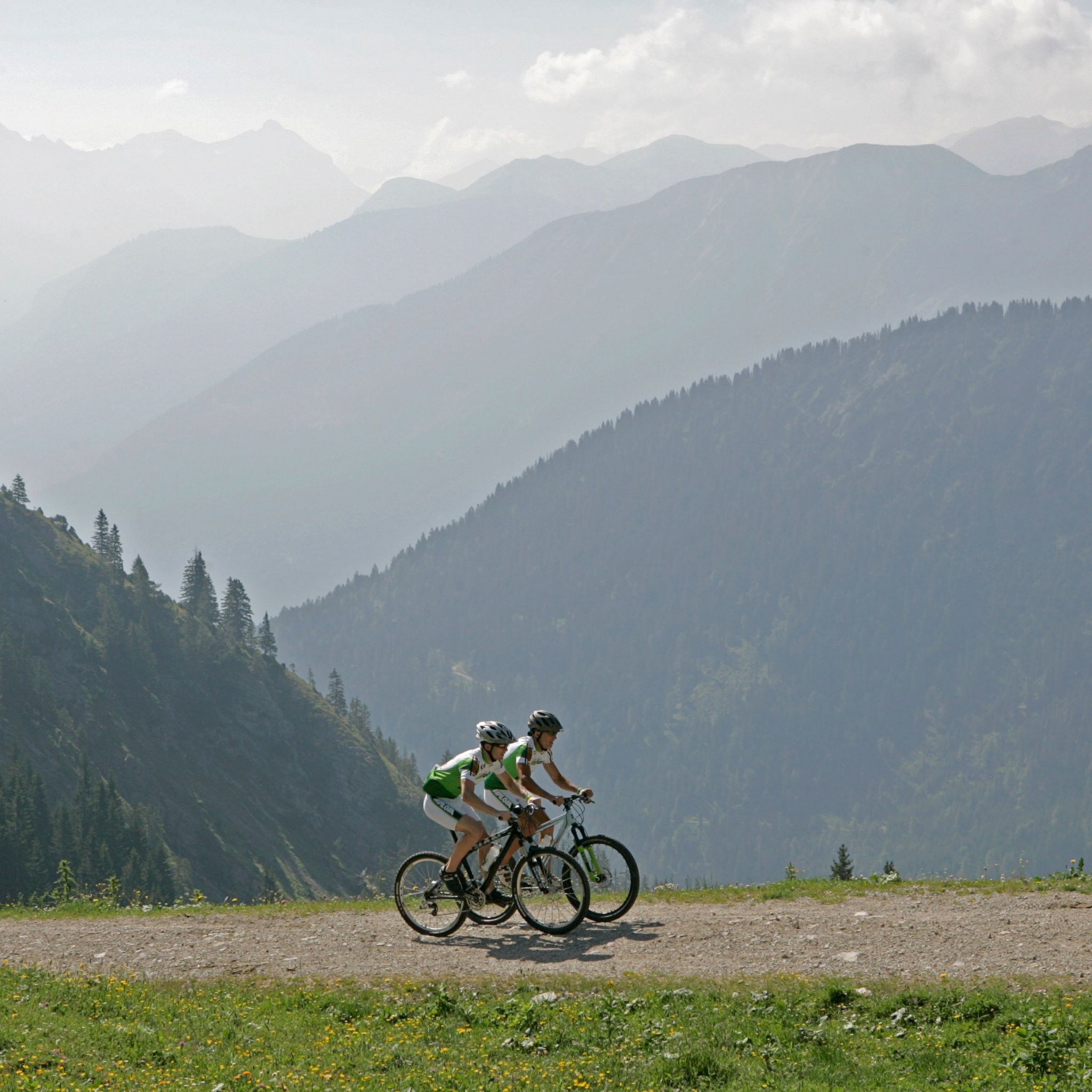
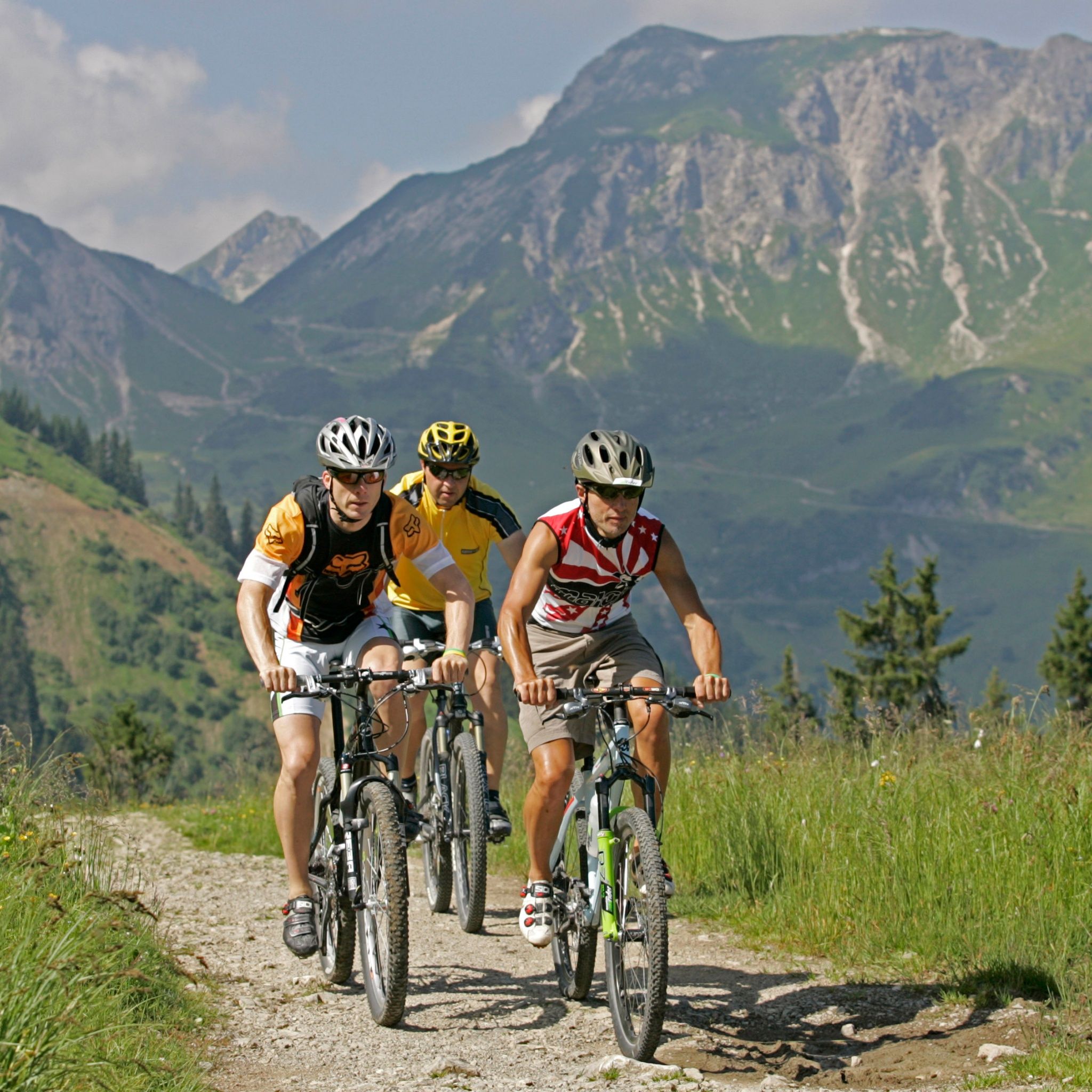
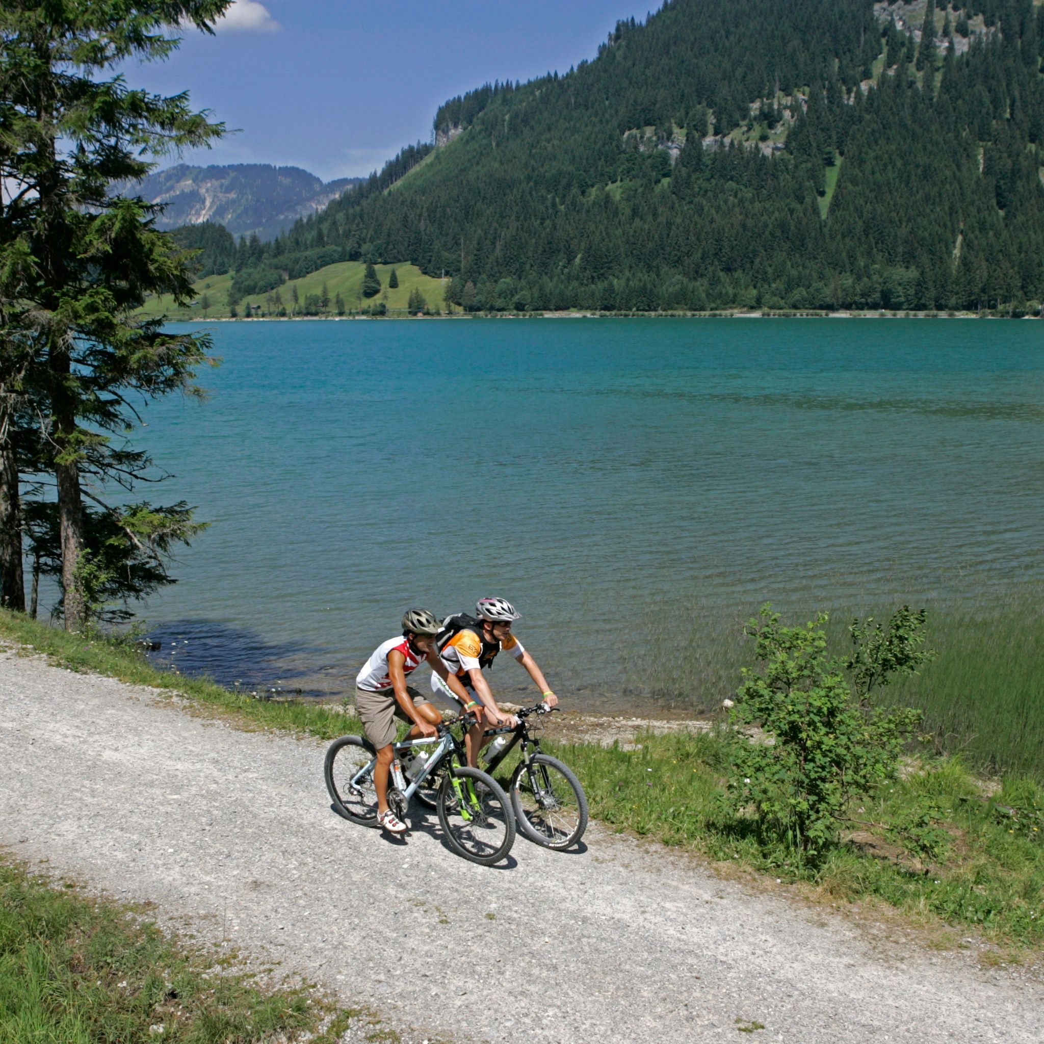
It should be noted that mountain biking can carry an increased risk of accidents and injuries. Despite careful route planning, a basic risk always remains. Preparing with endurance training, appropriate technical training and education as well as personal prudence reduces the risk of accidents and dangers. But please never forget that the weather in the mountains can change very quickly. Stay on marked paths.Ride "safely" in the Tannheimer TalIn Austria, mountain biking is generally prohibited by law on all forest and hiking trails, except for expressly permitted mountain bike routes. Entries onto forest roads are sometimes marked with driving ban signs and additional information such as "cycling prohibited." Hiking trails do not have these prohibition signs, but riding on the trails is still prohibited.
Your personal equipment must be safe and functional and correspond to the respective technical standard. Every mountain biker is recommended to inform themselves about the planned routes in specialist literature or locally.Complete mountain bike equipment highly recommended even for experienced riders!
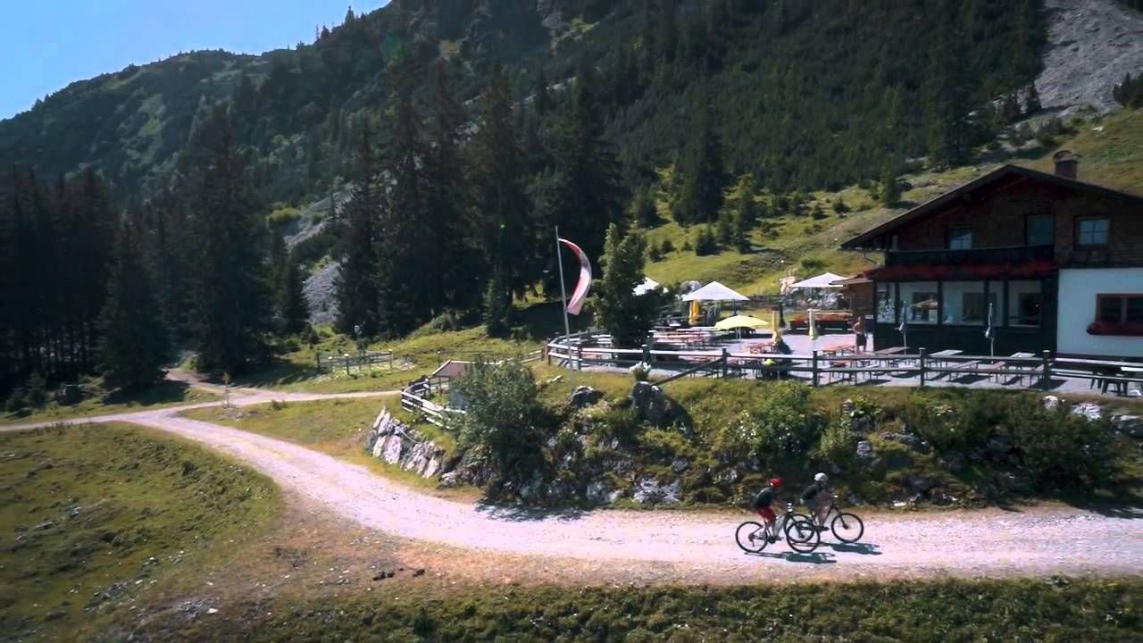
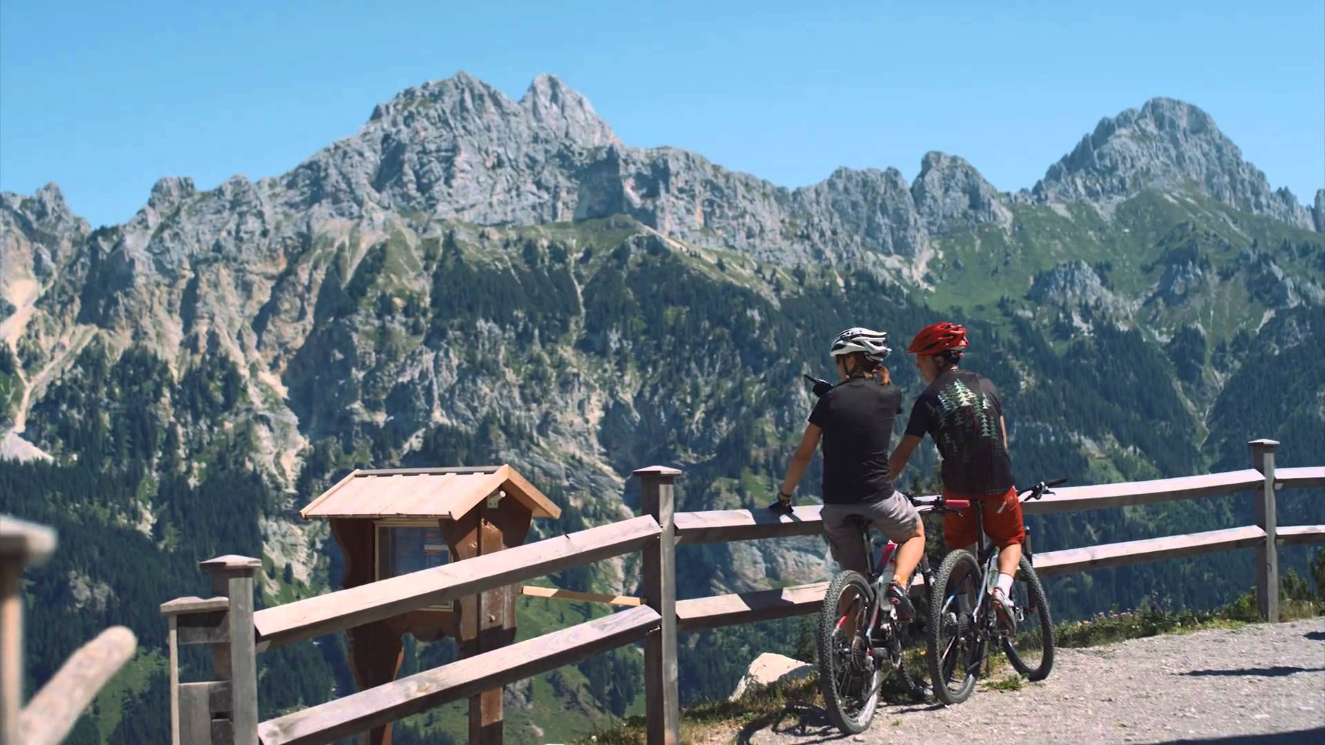
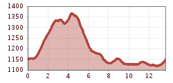
The path from Grän to the Berggasthof Adlerhorst is partly paved and partly gravel, but easy to ride and quite varied. You bike through open woodland, past raised bogs and beautiful viewpoints.For ambitious bikers, there are 15 bike routes with a total of 150 kilometers, approved and uniformly signposted by the state of Tyrol. Additionally, the Tannheimer Tal is the starting point for the newly designed "Bike Trail Tirol." The long round tour of over 800 kilometers and the many connecting stages with another 500 kilometers are designed so that bikers can put together their personal route.Bike paths off the roadsYou can get to know the surroundings on the "Tannheimer Tal Bike Trail," which passes the most beautiful corners of the Tyrolean high valley on 40 kilometers. The bike trails are away from the federal road and uniformly signposted. Via Schattwald towards Rehbach, you get to Ober- and Unterjoch in Allgäu – pause for a moment at the Floschen bog pond. Or cycle through Tannheim and Grän further on the new promenade by the Haldensee to Nesselwängle. A detour to the Vilsalpsee nature reserve will surely please you.The Tannheimer Tal bike and mountain bike mapOn the Tannheimer Tal bike and mountain bike map, a total of 15 routes are color-coded and numbered. The route descriptions, elevation profiles, length, and difficulty levels of each route are on the reverse side. All routes can be combined and are clearly signposted. Additionally, MTB tours from neighboring regions are also shown. The blue-marked routes are for the pleasure riders. Red-marked routes are medium difficulty; black markings are a sporting challenge.The bike and mountain bike map can be purchased for €8.90 at the Tannheimer Tal Tourist Association.Follow the color....The right mix is key – this also applies to the mountain biking offer in the Tyrolean Tannheimer Tal. Anyone who pedals here can choose from 15 routes and more than 300 mountain bike kilometers for every skill and fitness level. All routes can be combined and are clearly signposted.Blue route - easyMountain bike beginners or confident road riders as well as e-bikers follow the blue signs in the Tannheimer Tal. The continuously well-ridable paths have only minimal slope and are thus perfect for family outings in the saddle, where there is definitely no monotony: The Kneipprundweg, for example, offers a refreshing descent depending on mood. Finally, the almost six kilometers and 198 meters of elevation are cycled with well-blooded legs all the easier.Red route - medium difficultyThose who see red in the Tannheimer Tal are happy. Specifically about medium-difficulty and scenically attractive mountain bike routes that require sporting cycling skills and especially cautious riding behavior. Scenic tour tip: On the approximately 11-kilometer long "Haldenrunde," bikers climb nearly 500 meters of elevation and are rewarded at the Berghotel Zugspitzblick with a wide view of the Tannheimer Tal and the mountains Rote Flüh and Gimpel, the landmarks of the Tyrolean high valley. In good visibility, the view even reaches Germany's highest mountain.Black route - difficultIn total, 3 tours are classified as difficult – not least due to their length – and require stamina and mountain bike experience. Such as the route to Raaz Alpe, where 47 kilometers and 1,512 meters of elevation await the mountain bikers. The diversity of the Tyrolean high valley is shown in the "Talumrundung": Over 67 kilometers and 1,280 meters of elevation, the route offers the whole spectrum of mountain bike sports. By the way, bikers can join or leave the "Tour de Tannheimer Tal" at any point.---> Tip: The Tannheimer Tal is the starting point for the Bike-Trail-Tirol, the longest continuous mountain bike round course in the Alpine region with 1,000 kilometers.
By train to Sonthofen, Pfronten/Ried or Reutte, then continue by bus to Grän.
On the A7 motorway take the exit "Oy-Mittelberg" onto the B310 towards Wertach and then to Oberjoch. There follow the signs "Tannheimer Tal" B199, exit Grän. From the Tyrol side via Reutte on the B198 towards Lechtal to Weißenbach, over the Gaichtpass along the B199 to exit Grän.
Paid lift parking lot Füssener Jöchle in Grän.


