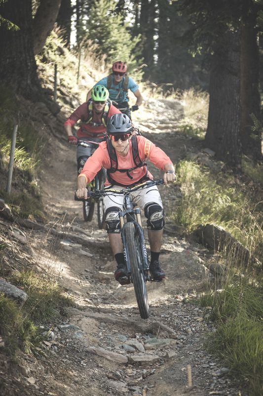
Nauders, Plamort Trail_Tirol Werbung_Schels Sebastian_Nauders (1) © Tirol Werbung | Sebastian Schels Plamort TrailOpening hours:openDifficulty:Very easyLength:2.5 kmGo to biketourGo to biketour: Plamort Trail
Oberer Gerry TrailOpening hours:openDifficulty:mediumLength:1.2 kmGo to biketourGo to biketour: Oberer Gerry Trail
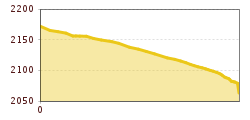
©-TVB-Tiroler-Oberland-Kaunertal-Daniel-Zangerl-2016-Gepatschhaus-(3).jpg © Daniel Zangerl Rolli-Wanderung GepatschhausLength:8.5 kmDuration:1:45 hElevation uphill:156 mSee trailSee trail: Rolli-Wanderung Gepatschhaus
©-TVB-Tiroler-Oberland-Kaunertal-Michaela-Gasser-Mark-Handbikebattle-2017-8863.jpg © Michaela Gasser-Mark Handbike Route Kaunertaler GletscherDifficulty:difficultLength:27.5 kmDuration:4:00 hElevation uphill:1,500 mGo to biketourGo to biketour: Handbike Route Kaunertaler Gletscher
Give feedback for a chance to win a special holiday experience!Click here for the surveyClick here for the survey
")
.jpg")

