

Opening hours:Today closed
Place:Ellmau
:Alpine pasture / hut / mountain restaurant
Ellmau Tourist Information Office - golf course - Wochenbrunner Alm

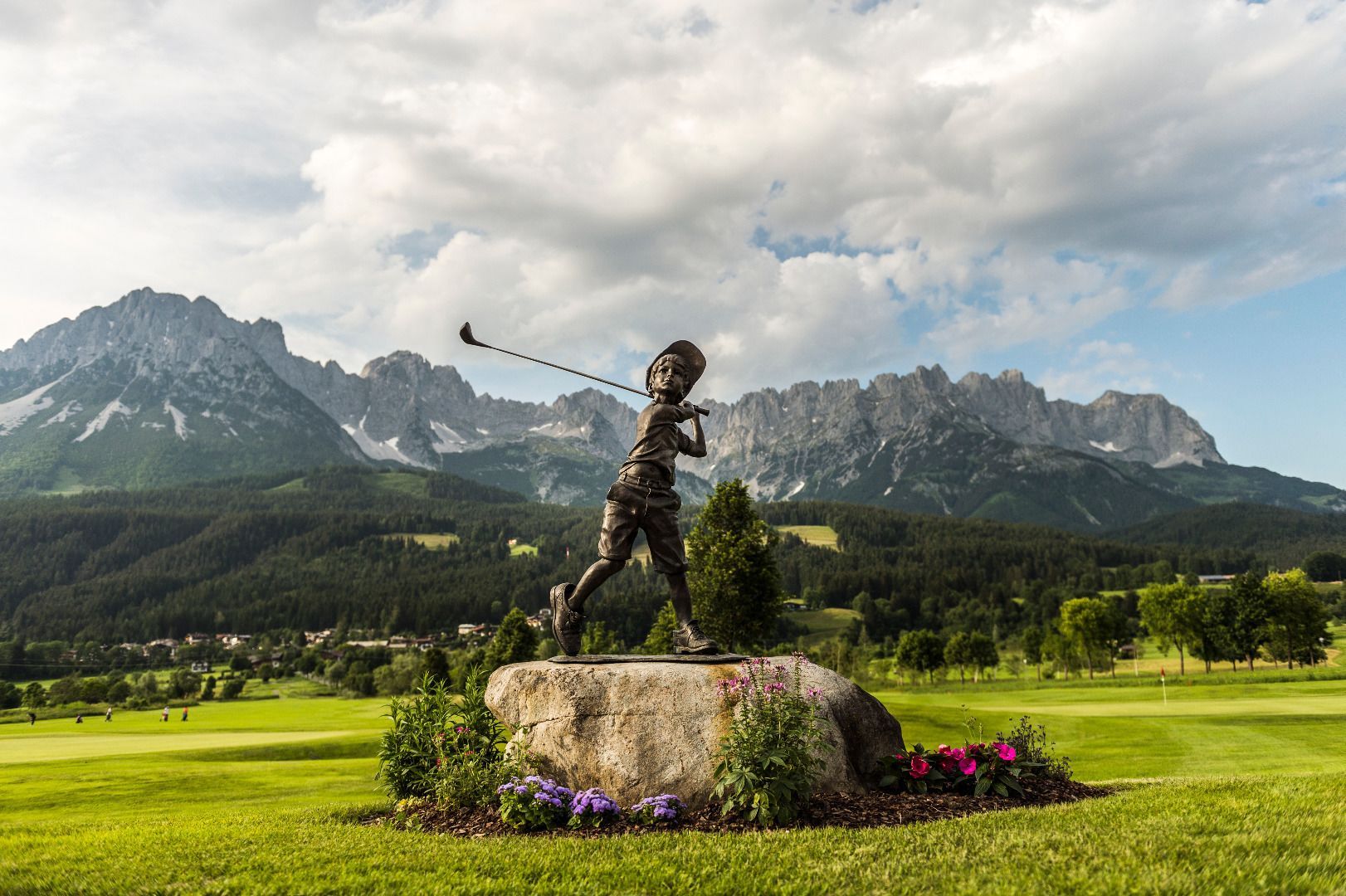
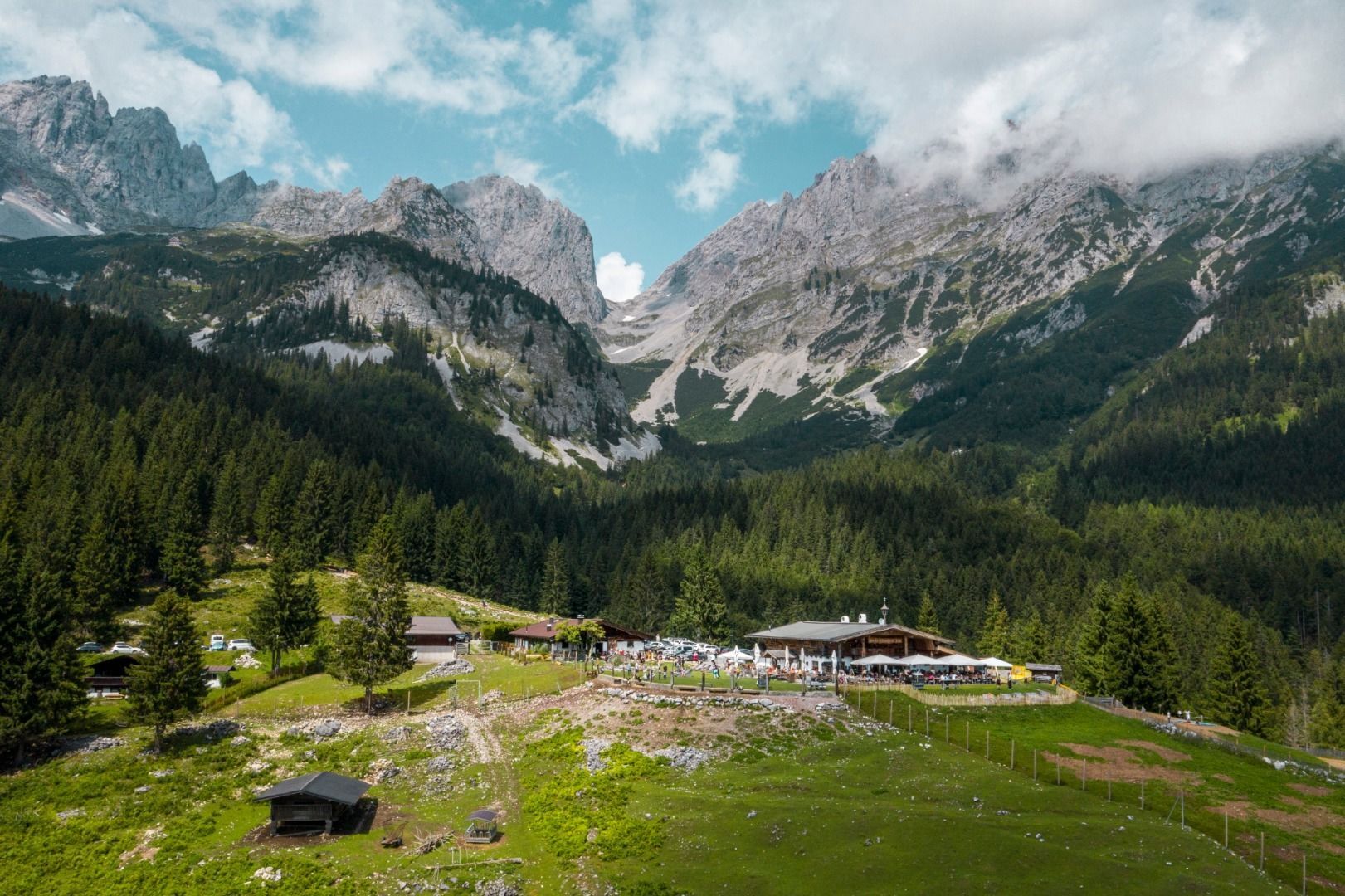

You start this moderately challenging tour to the Wochenbrunner Alm mountain hut from Ellmau Tourist Information Office. First it’s gently downhill and via the overpass following the signs to Bauhof (maintenance yard)/27-Loch-Golfplatz (27 hole golf course). Turn right after the yard following the signs to Wochenbrunner Alm. From here it’s gently uphill and straight on following the road. With the gradient steadily increasing, the road leads you via several sharp bends to the destination. The Wochenbrunner Alm lies at the foot of the Wilder Kaiser, offering you not only well deserved refreshments but also beautiful views of the surrounding mountains.
80
KaiserJet: Ellmau Dorfplatz (Steig A)
865+866 VVT-Regiobuslines: Ellmau Dorf/Bauhof
You can find further information and the timetables on this page:
Local Transport | Wilder Kaiser
Heading
from Wörgl or Kufstein on the B178 road, take the first exit to Ellmau and
then take the first exit at the roundabout. Drive along the bypass, then turn
towards the centre of Ellmau when you reach the end (between MPreis and the
Sporthotel). Continue straight on until you see the Tourist Info on the
right-hand side (short-stay parking zone). The hiking starting point is
located opposite this on the left-hand side.
Heading from St. Johann on the B178 road, take the first exit to Ellmau and
drive straight on through the town until you see the Tourist Info on the
right-hand side (short-stay parking zone). The hiking starting point is
located opposite this on the left-hand side.
Public car parks in Ellmau centre or west (800 m) - pay & display

