Mountainbike-Tour Drei-Käse-Hochtour route

Söll / Kitzbühel Alps
Difficulty ratings: medium
Route length: 8.9 km

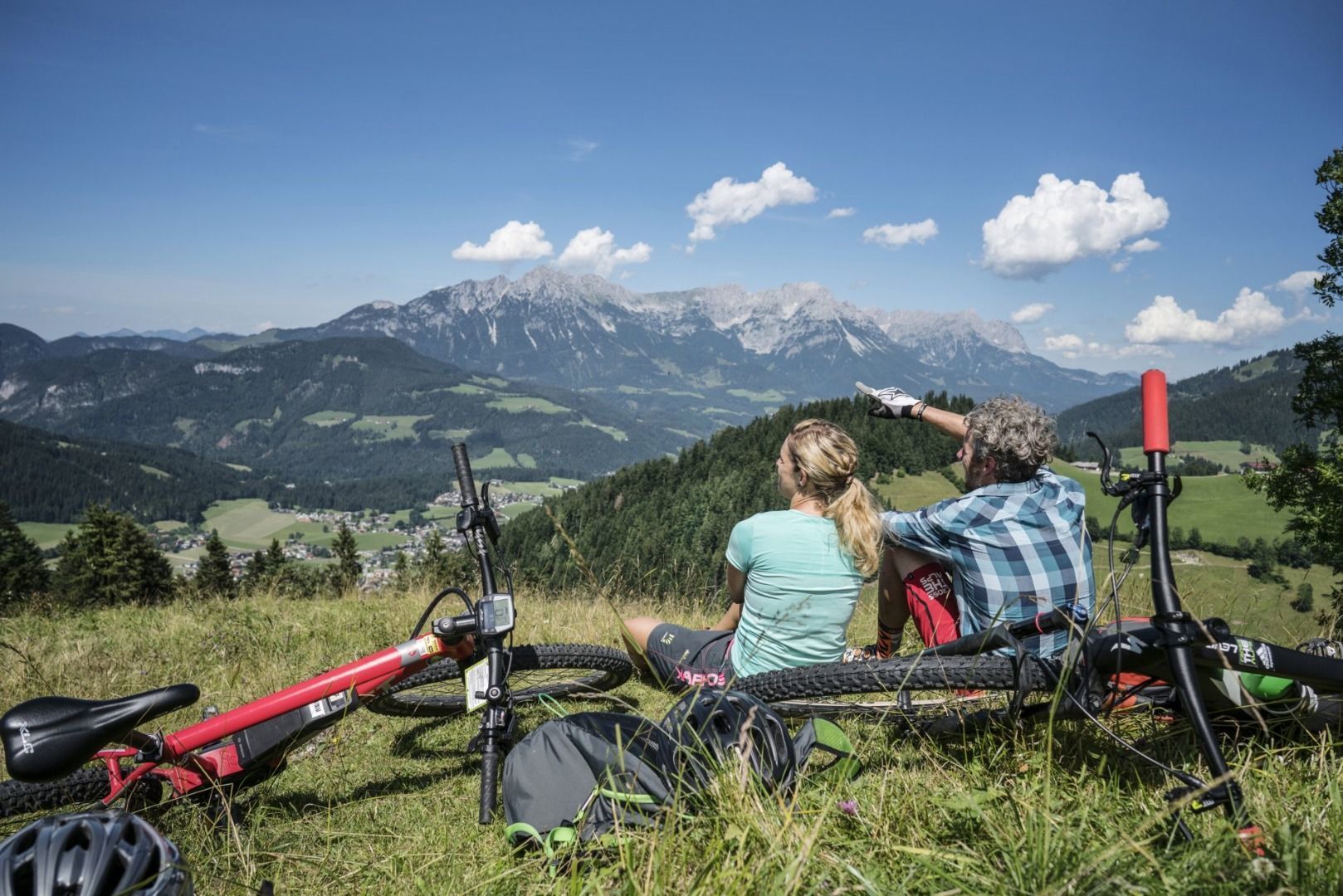
There are 3 steep rises which are moderable with e-bikes.
Tour information

  • Requirement: medium
  • Length: 8.9 km
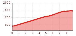
  • Elevation uphill:860 hm
  • Elevation downhill:50 hm
Highest point1,574 m

Starting point

Cable car valley station, Söll (725 m)

Finishing point

Au Hoch-Alm, Söll (1.600 m)
  • Fitness level 2 / 6
  • Technique 3 / 6

Best time of year

  • January
  • February
  • March
  • April
  • May
  • June
  • July
  • August
  • September
  • October
  • November
  • December

Trail condition

The composition of the trail varies between asphalt and forest roads.

Equipment

Cycle helmet, comfortable cycling clothes, a change of clothes, wind protection, cycling gloves, poss. rucksack with water bottle and food, first aid kit, poss. servicing/repair kit, bike map, route description and information materials (GPX track), ID, insurance card, cash
Source: TVB Wilder Kaiser

Description

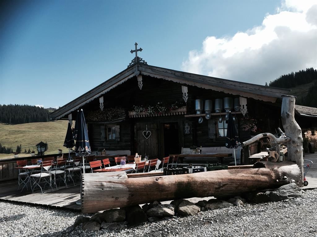
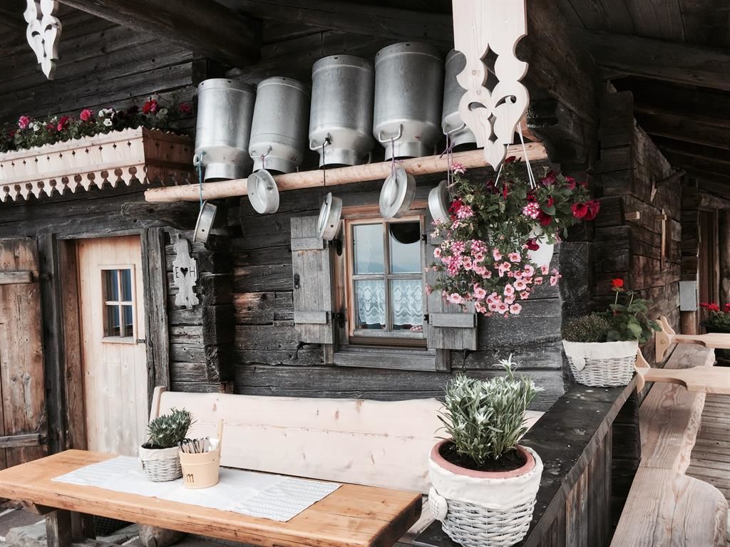
You will pass the hut from the TV-serie "Der Bergdoktor". At the end of the tour you can try the cheese of the Au Hoch-Alm which is very popular because of its taste. 

Nearby huts and mountain restaurants

  • Gruberhof

    Opening hours:Today closed
    Place:Söll
    :Restaurant, Tavern, Alpine pasture / hut / mountain restaurant
    see restaurant details: Gruberhof

Getting here

  • Arrival by public transport

    KaiserJet stop “Söll Gondelbahn Hochsöll – Hexenwasser”. More information at: www.wilderkaiser.info

  • Parking

    Heading from Wörgl, Kufstein or St. Johann on the B178 road, take the exit to Söll and then take the exit to Hexenwasser theme park (SkiWelt cable car valley station) at the roundabout. Before reaching the cable car valley station, turn left and drive across the bridge. You will then come to the hiking starting point and the cable car parking facilities.
    Parking area cable car valley station, Söll (725 m) – free

More tours in the surrounding area

  • MTB Tour Söll - Hochsöll

    Difficulty:medium
    Length:5.1 kmElevation uphill:480 m
Newsletter

The mountain is calling? So does our newsletter!

In our monthly newsletter we reveal the best holiday tips for Tyrol.