
Arrival by public transport
By train to Sonthofen, Pfronten/Ried or Reutte, then by bus to Schattwald.
ACHTUNG!!! Adlerhorst Wegen Grabungsarbeiten beim Lift ist der Weg von Lumberg zum und über den Adlerhorst zum Haldensee bis voraussichtlich September gesperrt. Die Umleitung führt von Grän über den Haldensee und entlang des Seeufers nach Haller. Der Adlerhorst ist weiterhin über Nesselwängle, Haller und die Burgschenke erreichbar.
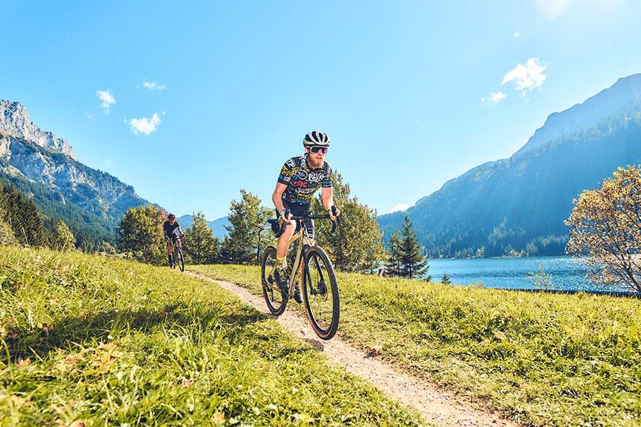
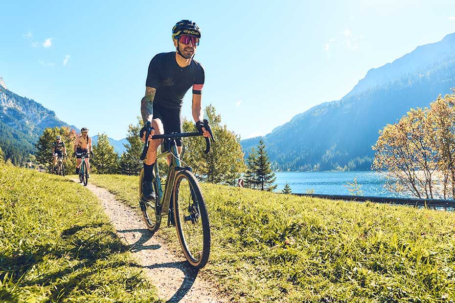
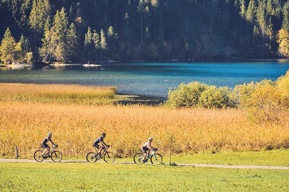
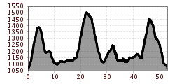
The route runs from the Schattwald municipal office parking lot through the Tannheim mountains and circles the Tannheimer Tal on varied terrain. The route through the Tyrolean high valley is characterized by varied climbs and easy descents. The trails along clear lakes, through romantic forests to cozy alpine pastures and huts are a dream for nature bikers. The "naturally" beautiful landscape with a view of the Gimpel, the Rote Flüh or the Aggenstein invites you to linger at quiet resting places. If you are in good shape, you can complete the 54-kilometre route in around 06:00 hours. Due to the length of the route and the elevation gain, a very good level of fitness is required.
The guide values serve as an orientation aid and can vary greatly depending on fitness level, bike type, road conditions, weather and other environmental influences.
By train to Sonthofen, Pfronten/Ried or Reutte, then by bus to Schattwald.
On the A7 highway, take the "Oy-Mittelberg" exit on the B310 towards Wertach and Oberjoch. There follow the signs "Tannheimer Tal" B199, exit Schattwald. From the Tyrolean side via Reutte on the B198 towards Lechtal to Weißenbach, over the Gaichtpass along the B199 to Schattwald.


