

Opening hours:Open today
Place:Brandenberg
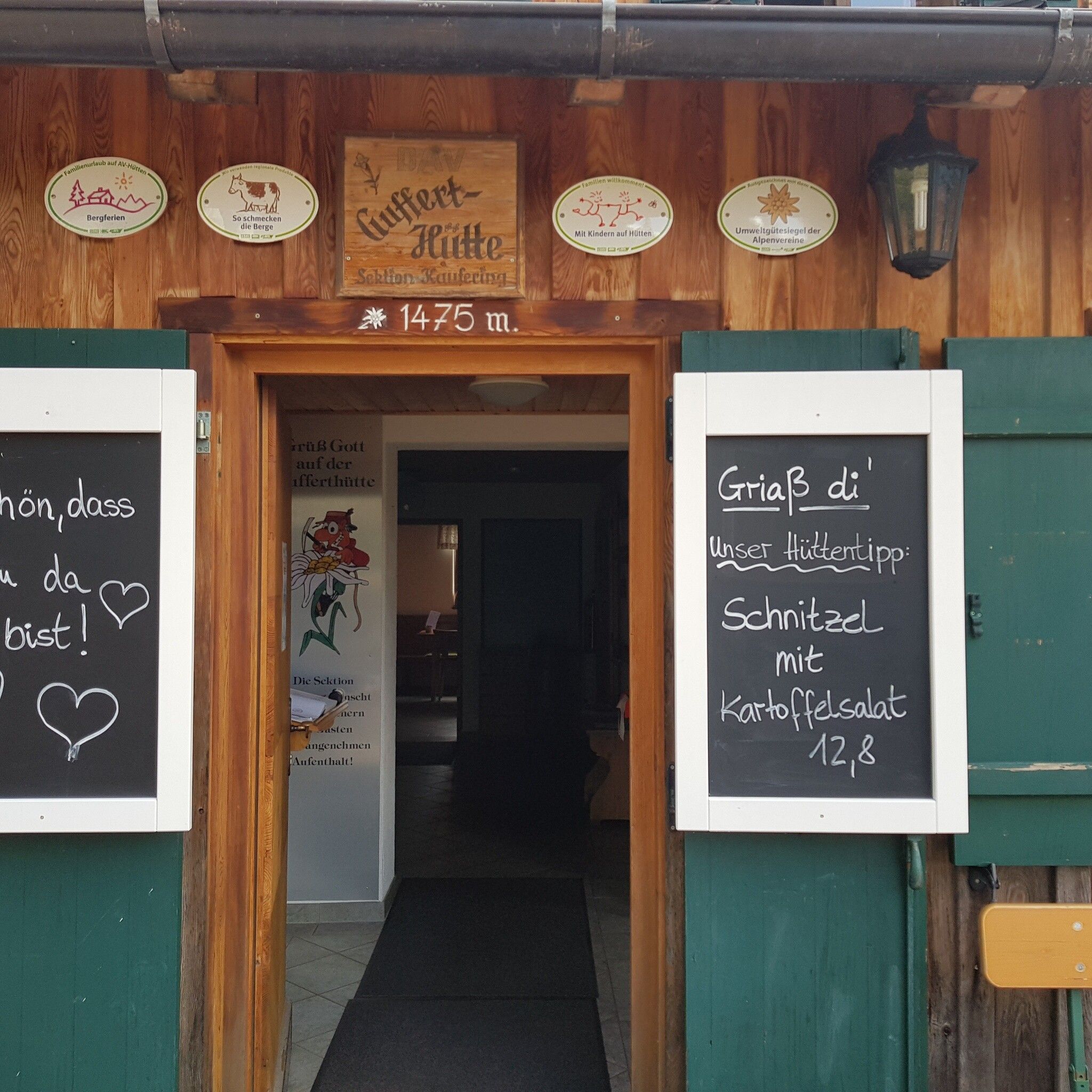
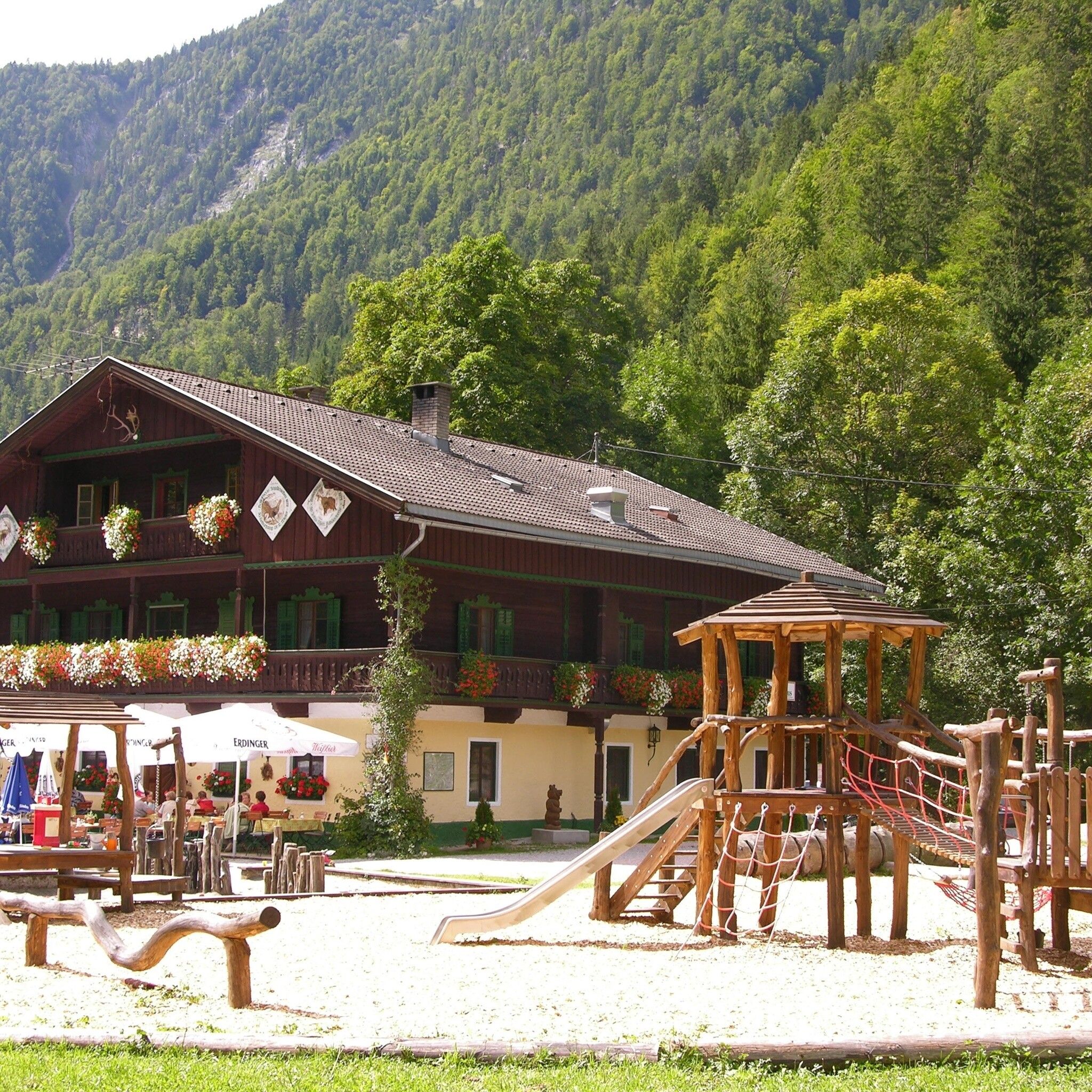
:Restaurant, Alpine pasture / hut / mountain restaurant
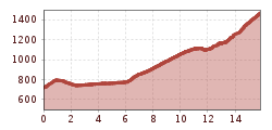
Moderate in difficulty yet physically demanding, this route also allows you to enjoy the unspoiled Brandenberg nature.
Winter closure from November 1 to April 1 of the following year: all MTB routes and cycling paths are closed for safety reasons
There is no snow clearing service for these paths, and many MTB routes are avalanche prone. Depending on snow conditions, some routes may be closed longer than until April 1. More information on snow conditions is available at the local tourism office.
Helmet, glasses, bike shorts, sweater, rain jacket, cap, biker backpack, water bottles, map, first aid kit, mobile phone, camera, lock, spare tube, mini tool, pump, patch kit, tape, sunscreen, muesli bars, snack, ...
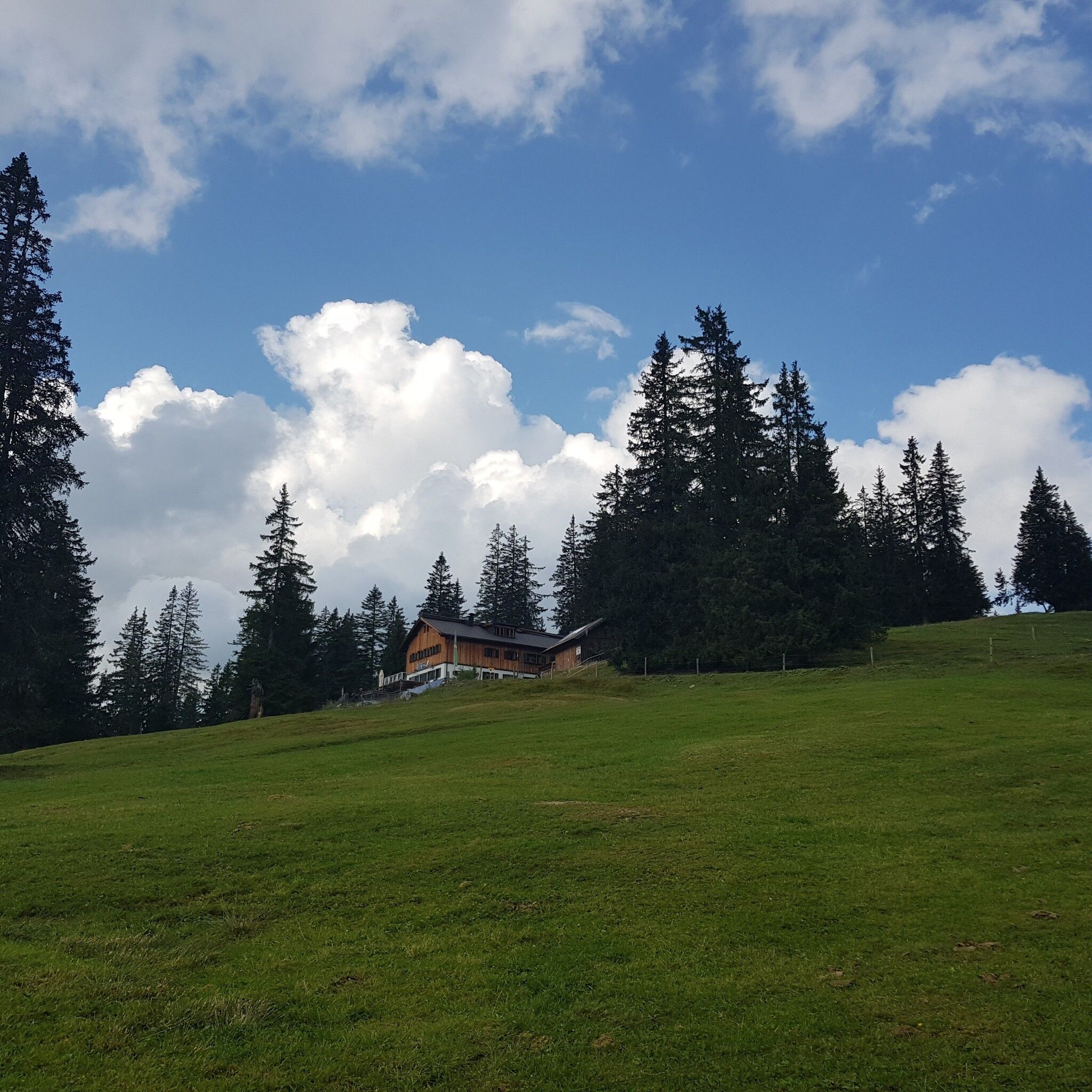
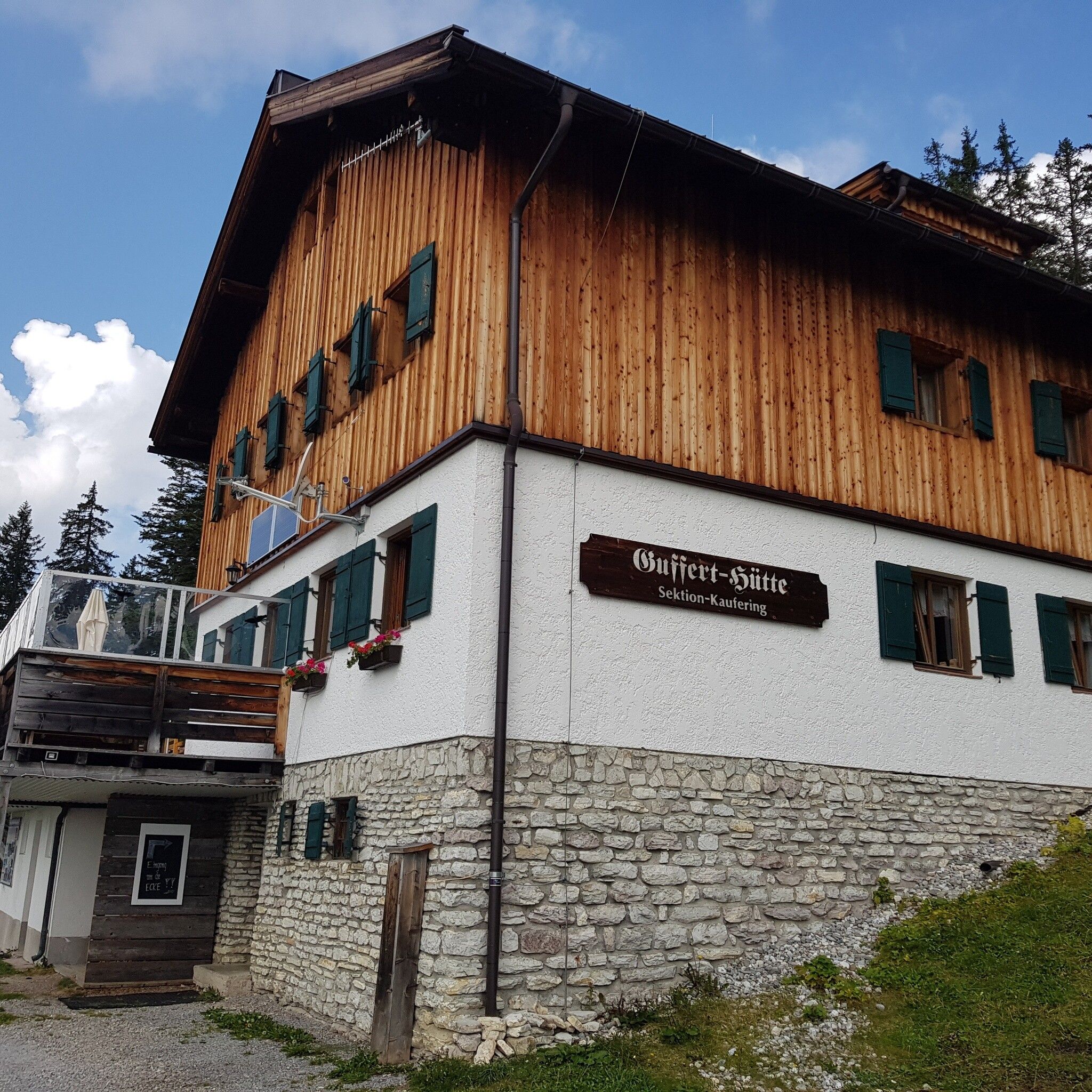
At the Kaiserhaus, go uphill to the left and then turn right onto the forest road. Follow the path to the “Trauersteg” and continue over a long, flat section through the “Gemäuer” to the Schöberl bridge; cross the bridge on the left and then ascend past the Bairachalmen and Schöberljagdhütte to the Gufferhütte (Ludwig-Aschenbrenner hut).
Parking available at Kaiserhaus parking lot (the start is directly at the parking lot)


