Gravel bike tour Kitzbühel Circuit to St. Johann

Kirchberg in Tirol / Kitzbühel Alps
Difficulty ratings: easy
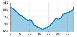
Route length: 33.2 km
Duration: 3:00 h

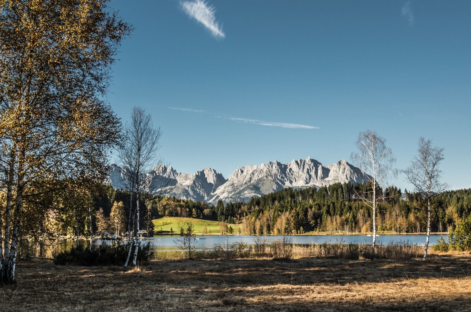
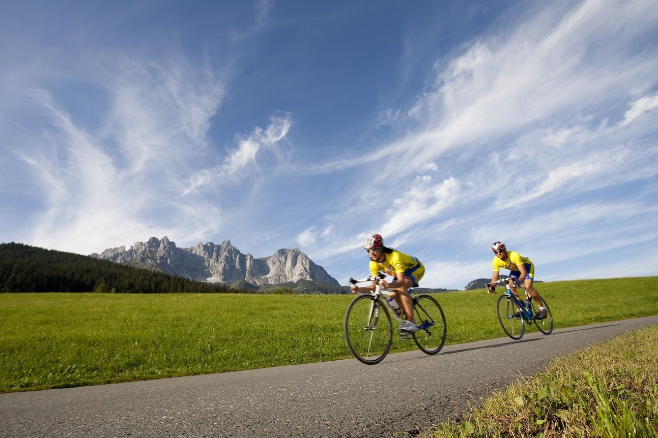
The Wilder Kaiser in view!

Tour information

  • Requirement: easy
  • Length: 33.2 km
  • Duration: 3:00 h
  • Elevation uphill:200 hm
  • Elevation downhill:200 hm
Highest point818 m

Starting point

centre Kirchberg in Tirol

Finishing point

centre Kircbherg in Tirol
  • Fitness level 2 / 6
  • Technique 1 / 6

Features

  • Circular route

Best time of year

  • January
  • February
  • March
  • April
  • May
  • June
  • July
  • August
  • September
  • October
  • November
  • December

Trail condition

Asphalt

Equipment

road bike, bike, gravel bike, helmet, weather protection, first aid kit
Source: Kitzbüheler Alpen Management GmbH

Description

From the town centre, head west on Schwarzseestraße. Then turn off towards Reith bei Kitzbühel and continue towards Stanglwirt. At Gasthof Reinache turn right onto the narrow Rerobichlstraße and moderately steep to the mountain classification in Bichlach. From the peak, descend rapidly to just before the centre of Oberndorf and via the Dorfbachweg past the districts of Sperten and Weitau to St. Johann in Tirol. There, head towards the centre and shortly before turn right towards the St. Johann mountain lifts. Cross over the railway tracks and continue along this side road, passing the Egger chipboard factory on the left and continuously following the Römerweg on a beautiful slope. In the Oberndorf area, cycle around the rough-surfaced Römerweg for a few kilometres on a slight incline. Then continue along the Römerweg, past beautiful farms. Pass under the Hornbahn gondola and the medical centre, continue on the slope, onto the Traunsteigerweg through the subway and finally arrive at Kitzbühel’s town centre.
 

Getting here

More tours in the surrounding area

  • OD Trails

    Opening hours:open
    Difficulty:medium
  • Wilder Kaiser cycle route no. 14

    Difficulty:medium
    Length:38.3 kmElevation uphill:520 m
  • Salvenaradrunde

    Difficulty:medium
    Length:62.7 kmDuration:3:30 hElevation uphill:648 m
  • Angereralm - Harschbichl

    Opening hours:closed
    Difficulty:medium
    Length:18.2 kmDuration:2:00 hElevation uphill:942 m
  • Brixental cycling tour Nr. 21

    Difficulty:easy
    Length:46.7 kmDuration:3:30 hElevation uphill:450 m
  • Kalkstein Loop

    Difficulty:medium
    Length:41.7 kmDuration:3:30 hElevation uphill:341 m
  • Fleckalm Trail

    Opening hours:open
    Difficulty:difficult
    Length:7.1 kmDuration:0:45 h
  • 1. Etappe KAT Bike Sport+

    Difficulty:medium
    Length:25.0 kmDuration:3:30 hElevation uphill:1,108 m
  • KAT BIKE SPORT+

    Difficulty:difficult
    Length:146.0 kmElevation uphill:5,686 m
Newsletter

The mountain is calling? So does our newsletter!

In our monthly newsletter we reveal the best holiday tips for Tyrol.