
Wondering what "Sport +" means? The first stage of the KAT bike gives you an idea. It is made for strong mountain bikers.
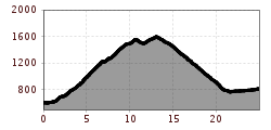
A scenic, moderately difficult tour with steep sections through beautiful alpine terrain on the Hohe Salve. The first section of the "Kat Bike Sport +" MTB tour requires strength and stamina. After the asphalted road to the middle station, the composition of the trail becomes more challenging. Here begins a gravel road along route 268 to the reservoir on the Kleine Salve and on through alpine pastures. After the highest point of the stage at 1,600 meters and the Salvensee lake, there should still be enough energy left for a steep descent on gravel. Only at an altitude of around 1,120 meters does the trail rejoin an asphalt road down to Brixen im Thale.

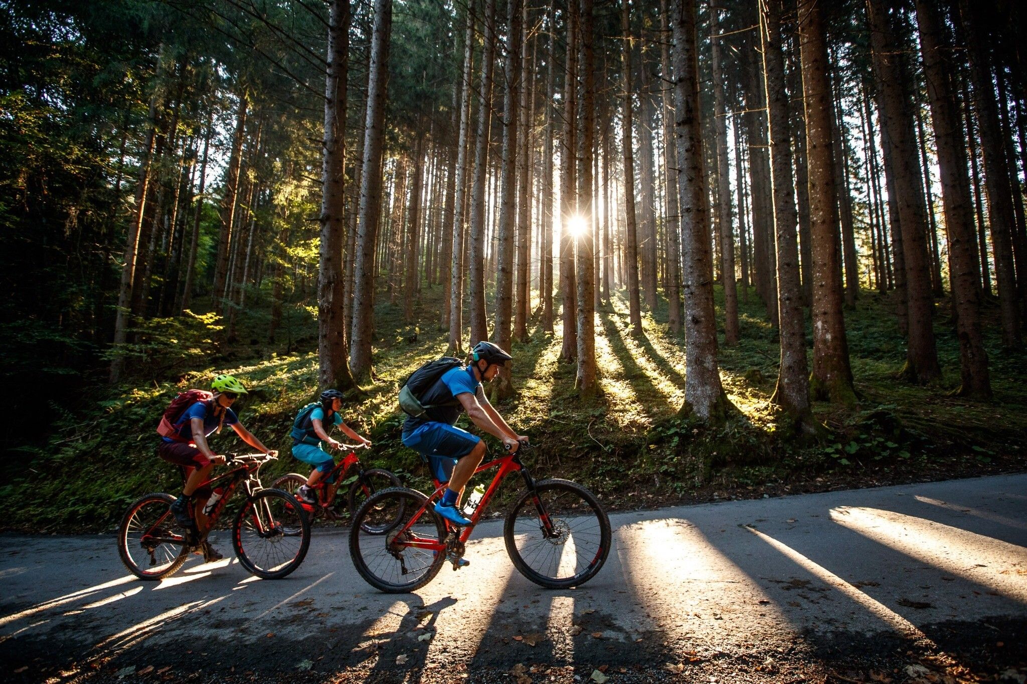
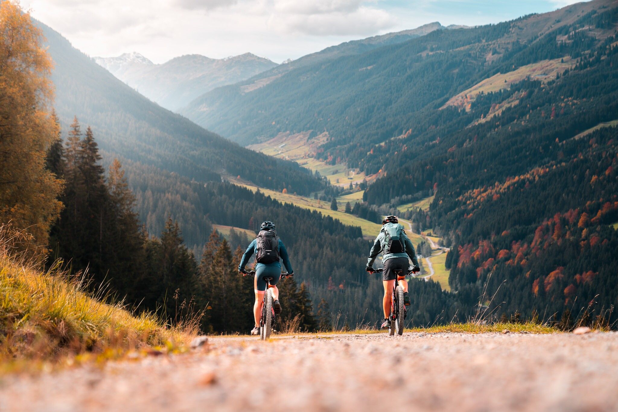
Up to the Hohe Salve
From Hopfgarten, follow MTB-Route 269 towards the Hopfgarten middle station. The tour first leads up the Lindrainweg on asphalt.
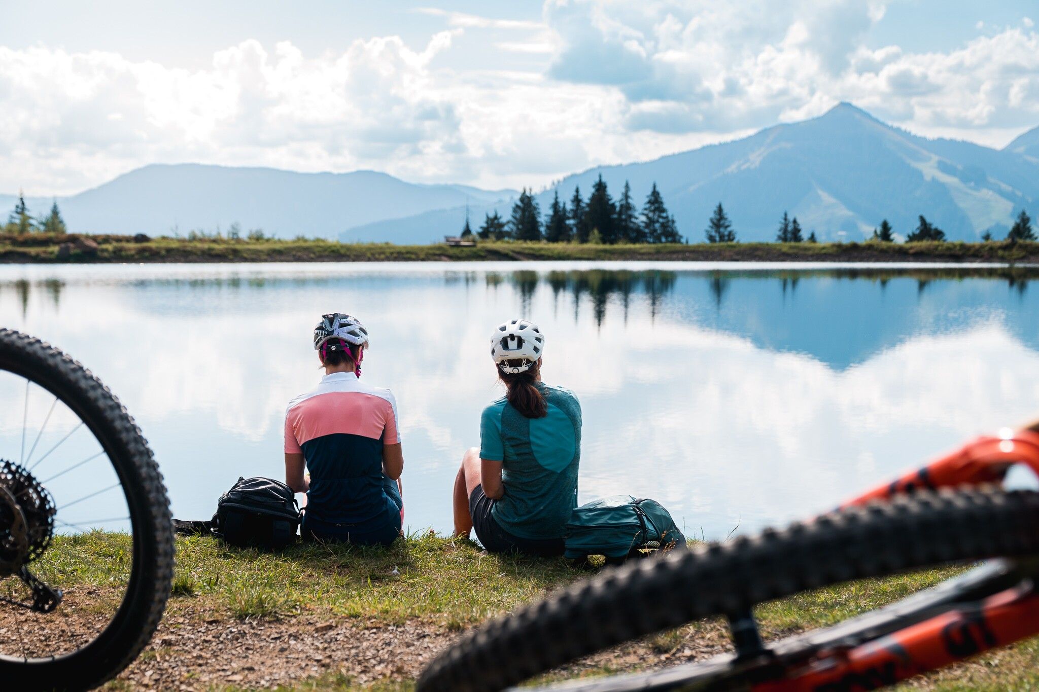
After further serpentines, the path passes the Hopfgarten middle station. From there, follow MTB-Route 268. Along the gravel path, you will now reach the beautifully situated alpine slopes at the foot of the Hohe Salve. You can already see the Gasthof Rigi from afar. But shortly before you reach this landmark, a detour to the Kleine Salve with its idyllic reservoir right below the summit is well worth it.
Rest at Alpengasthof Rigi
After a beautiful souvenir photo of the reservoir on the Kleine Salve, continue towards Alpengasthof Rigi. By now at the latest, you have earned a break and a cool drink. And the best part: everything tastes even better on the sun terrace with such a view.
Descent to Westendorf
After you have regained your strength, follow MTB-Route 297. This first leads a short distance further uphill, but quite soon you reach the Salvensee, another highlight of the tour. From here, you cycle downhill towards Westendorf. Passing the Hohe Salve reservoir, you finally reach the Brixental and the village of Westendorf via several bends. There, cross to the opposite side of the valley and follow the Brixentalradweg towards Brixen, where you reach your destination for the day.
Bus stop: "Hopfgarten Berglift Bahnhof"
Train station: "Hopfgarten Berglift Bahnhof "
Regional guest card = train ticket from Kirchbichl to Hochfilzen + bus ticket from Mariastein to Kitzbühel included!
Valid on ÖBB local trains (S, REX) and InterRegio trains (IR) between Kirchbichl - Wörgl and Hochfilzen
Not valid on RJ, RJX, EC, IC, ICE, D and NJ/EN trains
free parking lot between the Salvena event center and Pletzi's Activity Park = parking lot extension P1


