
Arrival by public transport
By train to Sonthofen, Pfronten/Ried or Reutte, continue by bus to Tannheim.
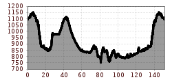
From Tannheim over the Gaicht Pass past the beautiful Plansee, around the Ammer Mountains through Füssen back into the Tannheimer Valley.
The StVO (road traffic regulations) apply. General valid and usual behavioral rules.
It should be noted that road cycling can involve an increased risk of accidents and injuries. Despite careful route planning, there is always a basic risk. Route preparation through endurance sports, appropriate training and further education, as well as personal caution, reduce the risk of accidents and dangers.
Personal equipment must be safe and usable and comply with the respective technical standard. Every road cyclist is recommended to inform themselves about the planned routes in specialist literature or locally. Complete road bike equipment is strongly recommended even for experienced riders!
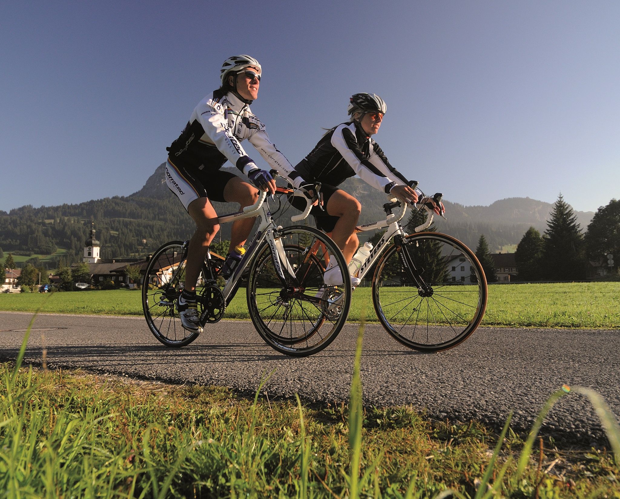
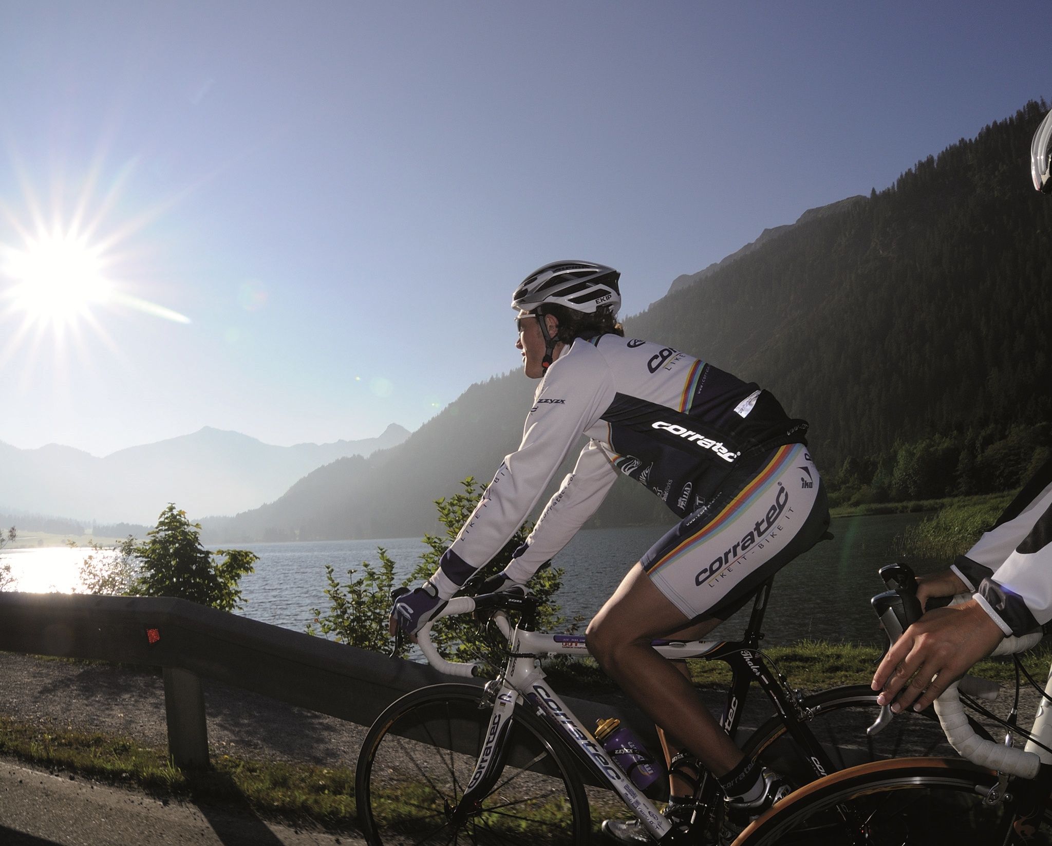
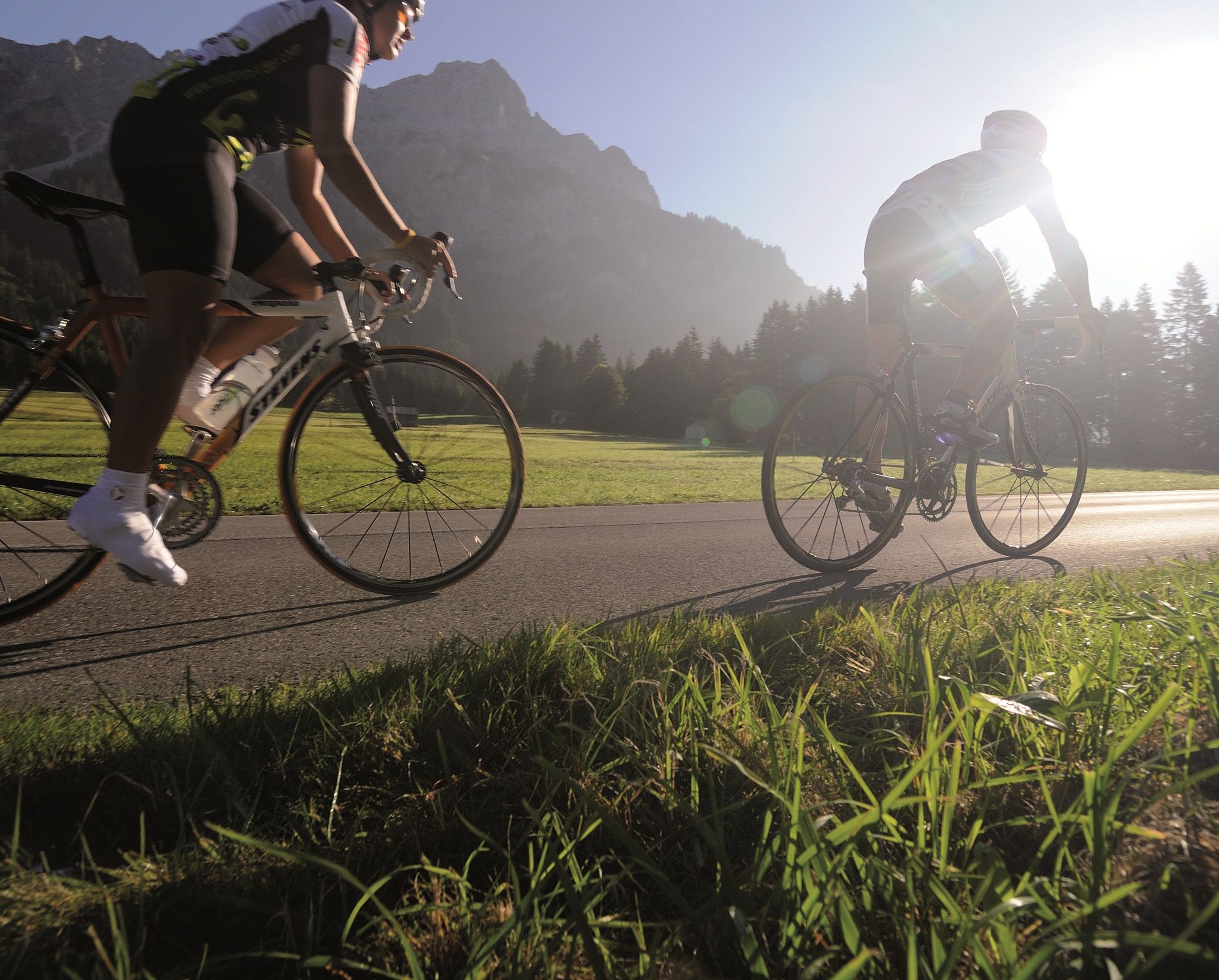
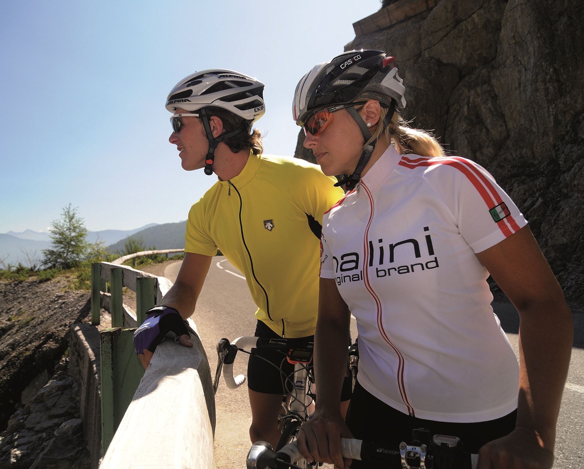
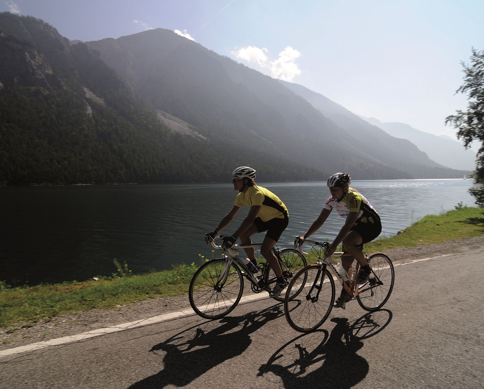
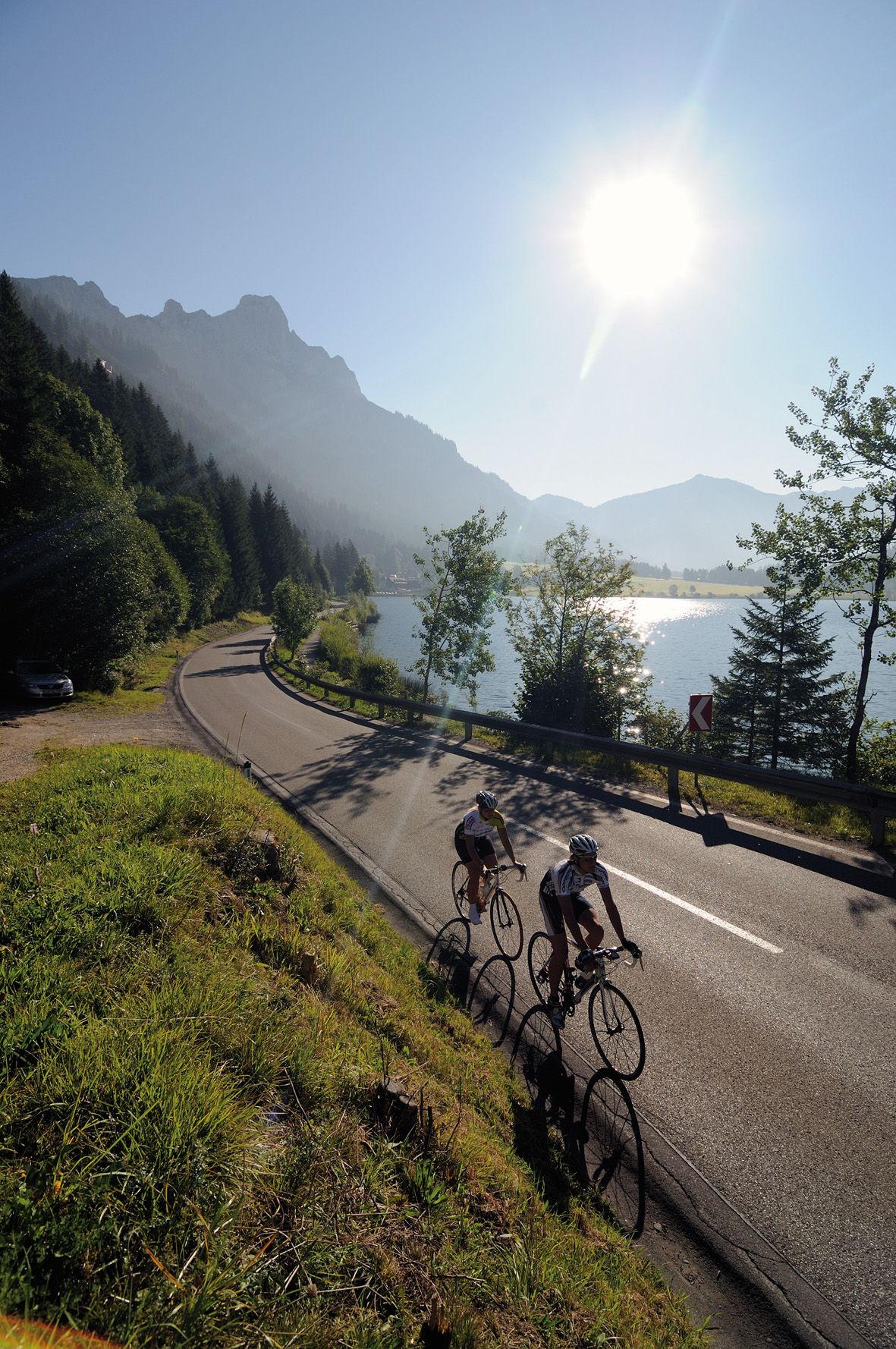
Among cyclists, the Tannheimer Valley has been known for some time, as in 2001 the peloton of the Austrian Cycling Tour passed through the valley. In 2005, the professional riders of the Bayern Rundfahrt came to the opening stage on Tyrolean soil and were rewarded with the Tannheimer Valley mountain classification and the Jungholz mountain classification. Even professionals noticed the scenic charms of the "probably the most beautiful high valley in Europe." Lush green meadows, Lake Haldensee and a beautiful mountain backdrop accompanied the professionals on their race kilometers. Thus, the Tannheimer Valley has also established itself as an ideal region for targeted training or extensive routes. "The Tannheimer Valley is an ideal starting point for long road bike routes to the surrounding regions such as Lake Constance or the Arlberg," says Michael Keller, managing director of the Tannheimer Valley Tourism Association and former mountain bike national coach of Austria. Cyclists find not only an ideal starting point in the Tannheimer Valley but also a wide range of accommodations. From 5-star hotels to private rooms, you can choose your accommodation. After a nice ride, relax and recharge your batteries. - The Tannheimer Valley
By train to Sonthofen, Pfronten/Ried or Reutte, continue by bus to Tannheim.
On the A7 motorway at the "Oy-Mittelberg" exit take the B310 towards Wertach and to Oberjoch. There follow the signposting "Tannheimer Tal" B199, exit Tannheim. From the Tyrol side via Reutte on the B198 towards Lechtal to Weißenbach, over the Gaicht Pass along the B199 to the exit Tannheim.
Parking lots at the Neunerköpfle gondola in Tannheim – subject to charge.


