Road bike tour Road bike 04 small lake loop

Rattenberg / Brandenberg Alps (Rofan)
Difficulty ratings: easy
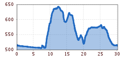
Route length: 30.2 km
Duration: 1:30 h

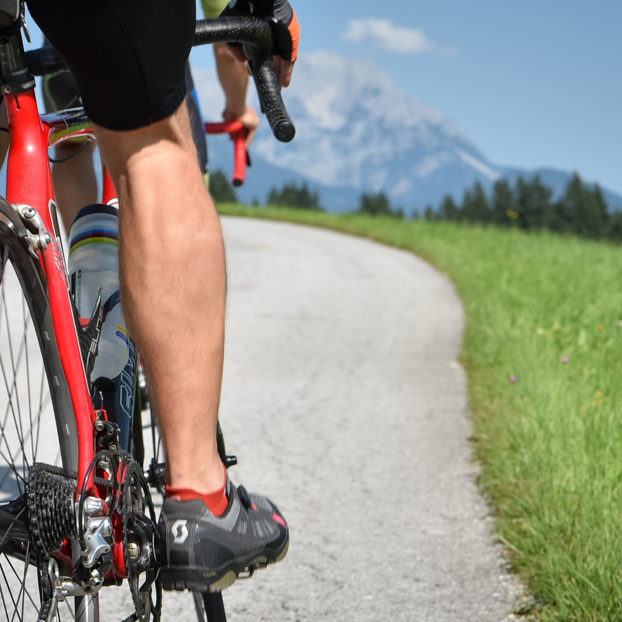
An easy route, ideally suited for first experiences on a road bike
Tour information

  • Requirement: easy
  • Length: 30.2 km
  • Duration: 1:30 h
  • Elevation uphill:300 hm
  • Elevation downhill:300 hm
Highest point644 m

Starting point

Rattenberg town fountain

Finishing point

Rattenberg town fountain
  • Fitness level 2 / 6
  • Technique 2 / 6

Best time of year

  • January
  • February
  • March
  • April
  • May
  • June
  • July
  • August
  • September
  • October
  • November
  • December

Equipment

Right-hand traffic applies and traffic regulations must be observed.

You are moving on public roads here, please remember that you have no crumple zone.

Helmet, glasses, gloves, rain protection, bike outfit, first aid kit, spare tube, tire levers, pump or cartridge, mobile phone, cash, bank card, water bottle, gel and/or bars, cap or bandana, knee warmers, arm warmers;

Adjust equipment according to the season in any case.

Source: Alpbachtal Tourismus

Description

  • Distance: 30 km,
  • Elevation gain: 300 m,
  • Maximum gradient: 9 %,
  • Best time: spring – late autumn,
  • Difficulty: easy 

Nearby huts and mountain restaurants

Getting here

  • Parking

    From the Kramsach/Alpbachtal motorway exit turn left towards Brixlegg/Rattenberg. Take the 3rd exit at the roundabout, after 400m you will find the city parking lots of Rattenberg (partly paid).

    - or by bike https://radrouting.tirol/


    By train to Rattenberg station, by car to one of the parking lots in Rattenberg (east and west)

More tours in the surrounding area

Newsletter

The mountain is calling? So does our newsletter!

In our monthly newsletter we reveal the best holiday tips for Tyrol.