
Arrival by public transport
By train to Sonthofen, Pfronten/Ried or Reutte, then by bus to Zöblen. Bus stop Gemeindeamt.
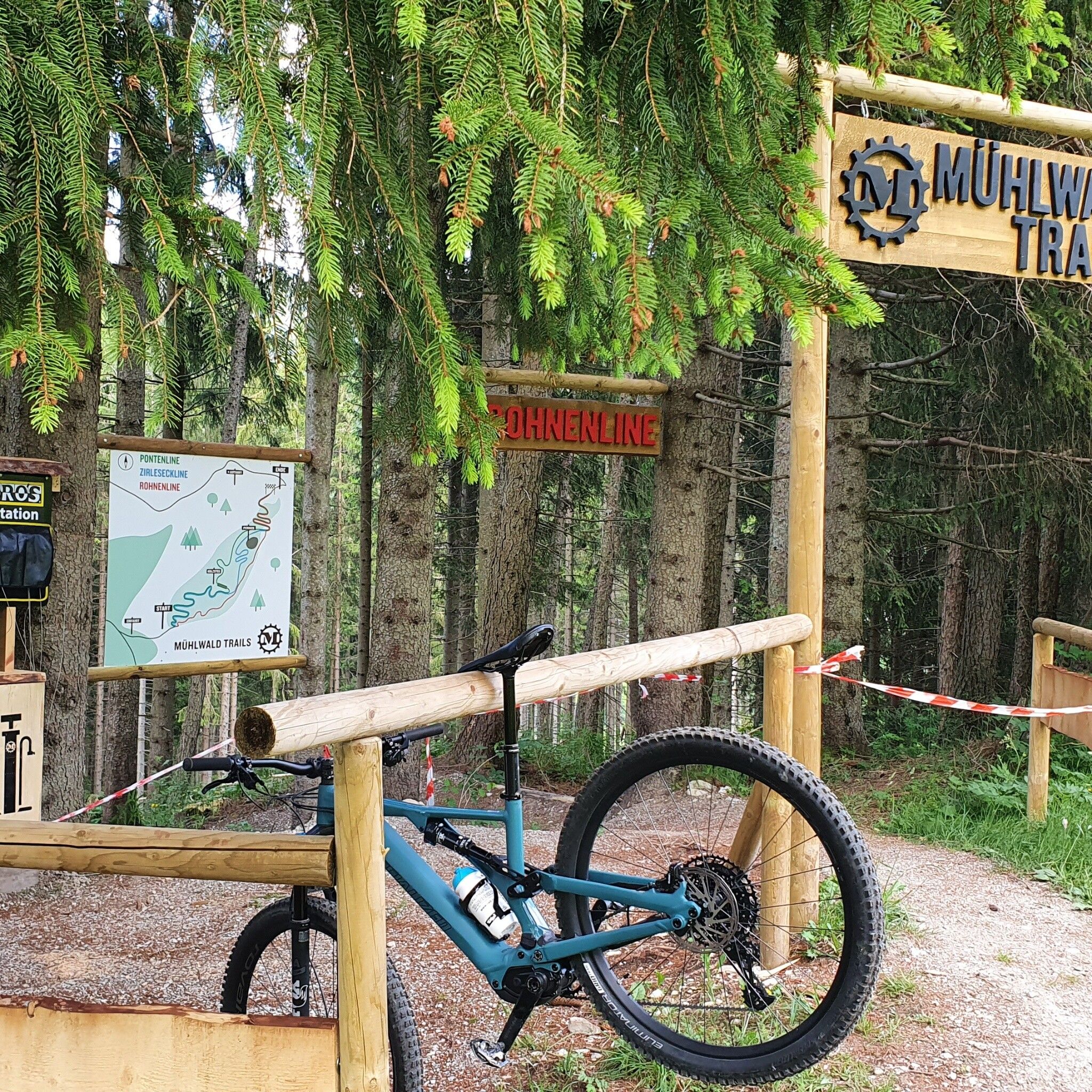
The "MÜHLWALDTRAILS" were opened by the Alpstern bike school
It should be noted that mountain biking involves an increased risk of accidents and injuries. Despite careful route planning, a basic risk always remains. Preparing for tours through endurance sports, appropriate technical training and further education as well as personal caution reduces the risk of accidents and hazards. But please never forget that the weather in the mountains can change very quickly. Stay on the marked paths.Ride "on the safe side" in the Tannheimer TalIn Austria, mountain biking is generally prohibited by law on all forest and hiking trails, except for explicitly designated mountain bike routes. The entrances to forest roads are sometimes marked with no-entry signs and additional information such as "cycling prohibited." Hiking trails do not show these prohibition signs, yet riding on these trails is forbidden.
The routes can be ridden with a normal MTB, which are also offered for rent in sports shops. Personal equipment must be safe and functional and meet the respective technical standard. Complete mountain bike equipment is absolutely recommended even for experienced riders! Helmets are mandatory!
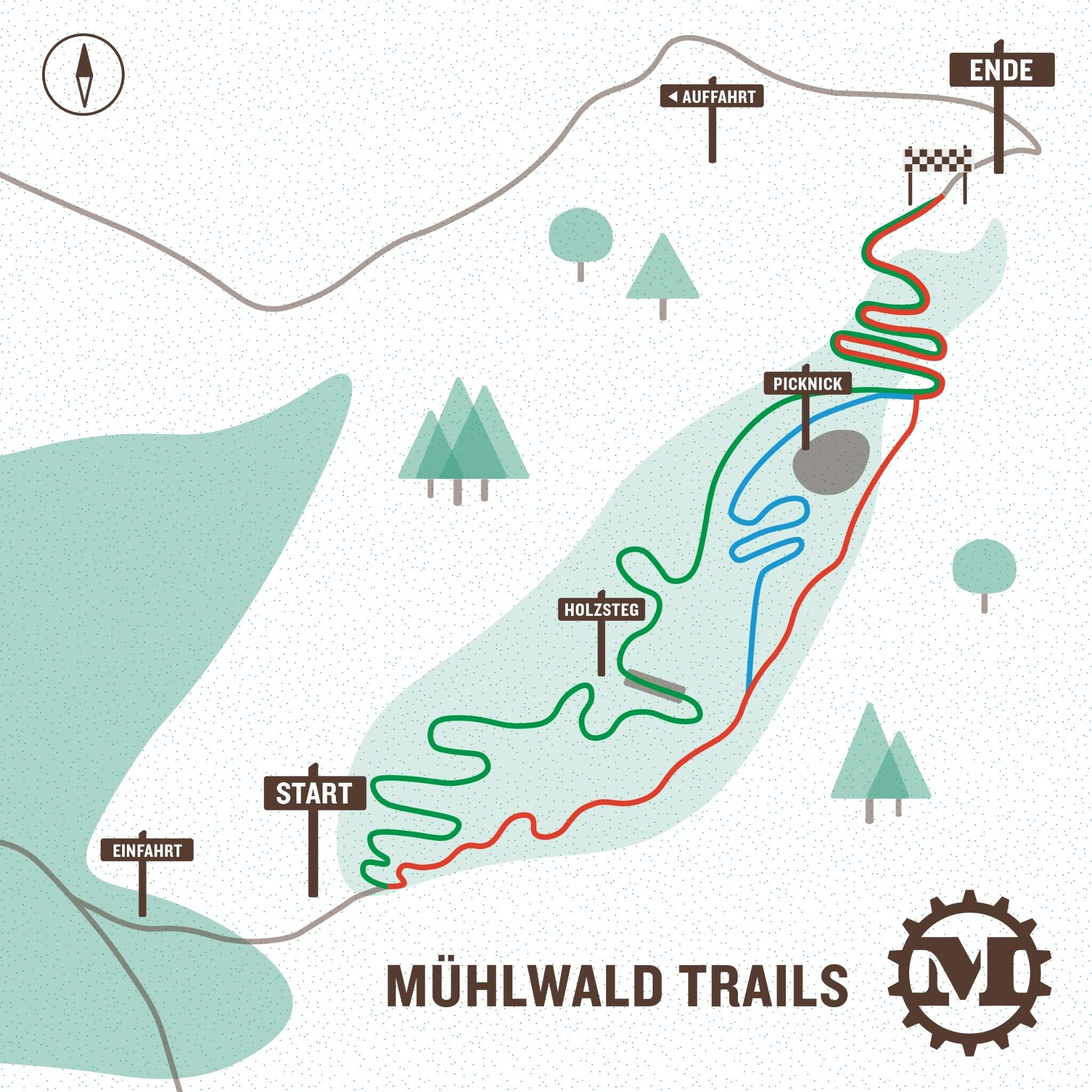
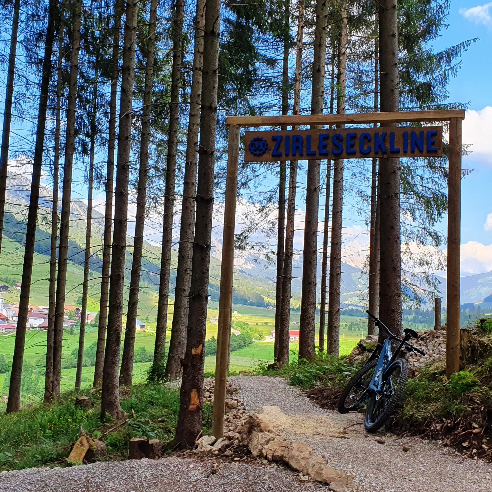
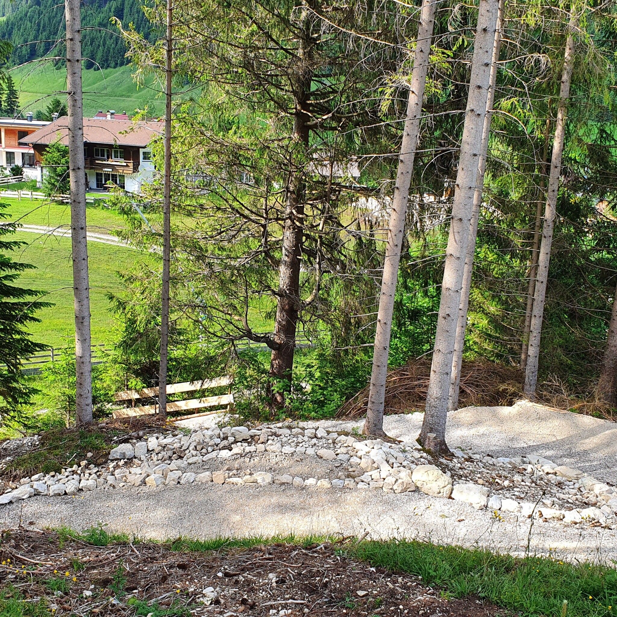
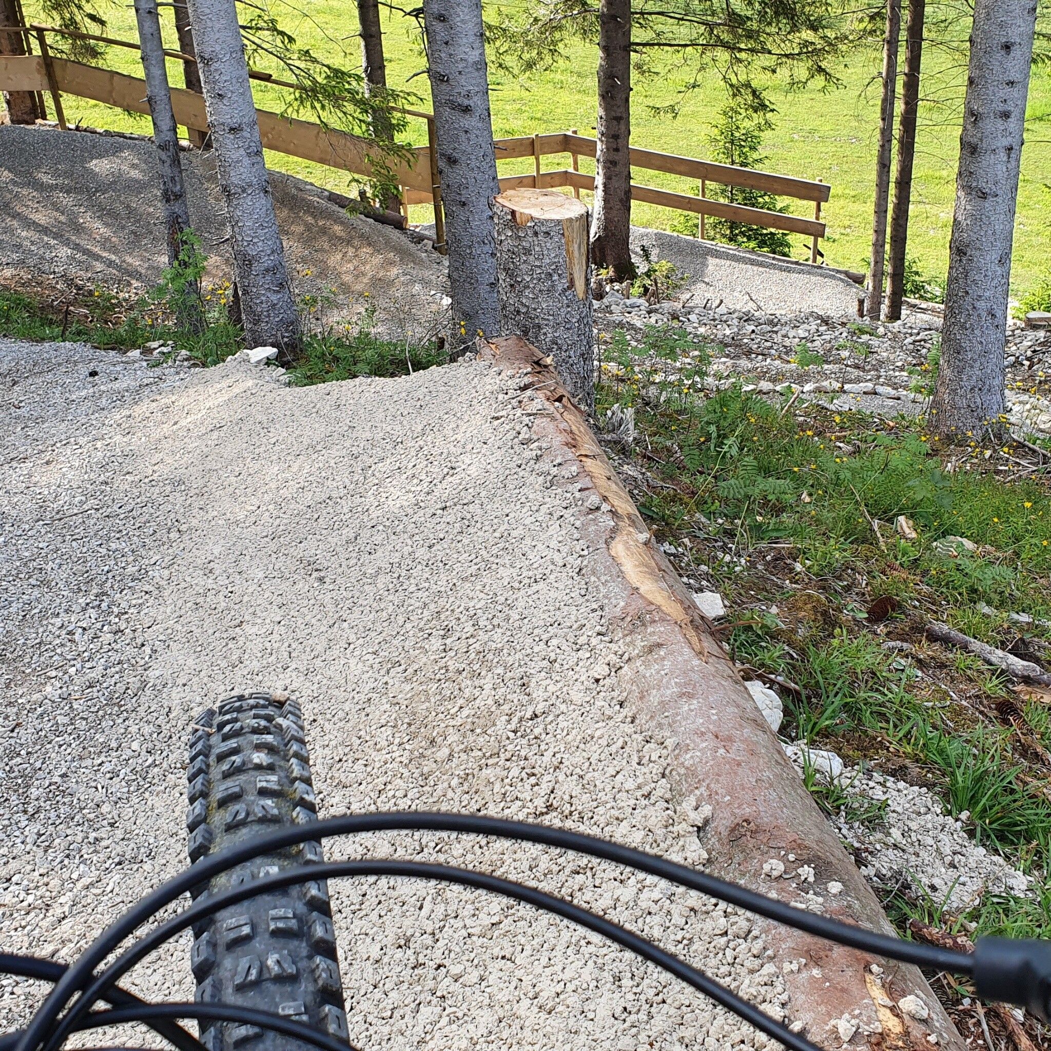
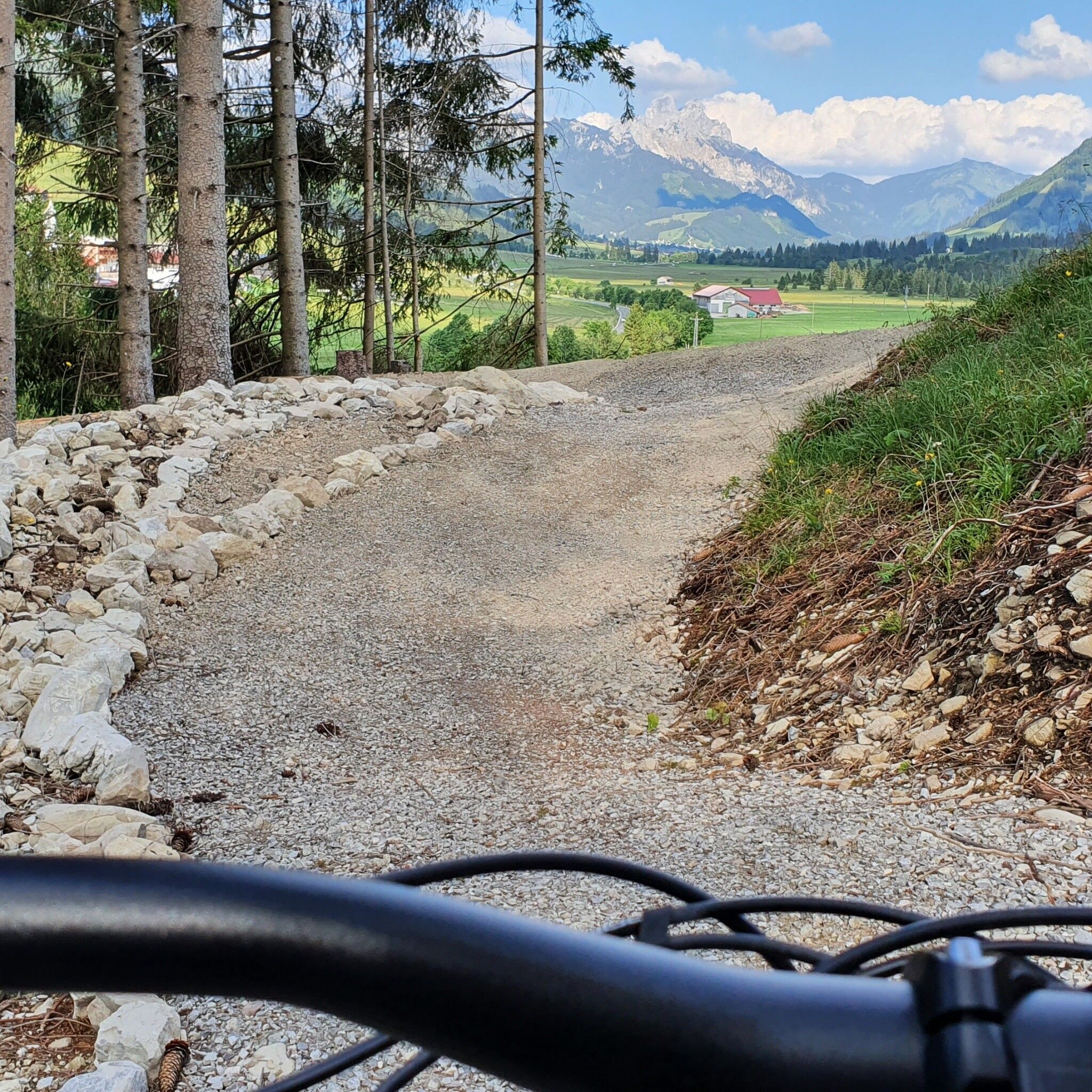
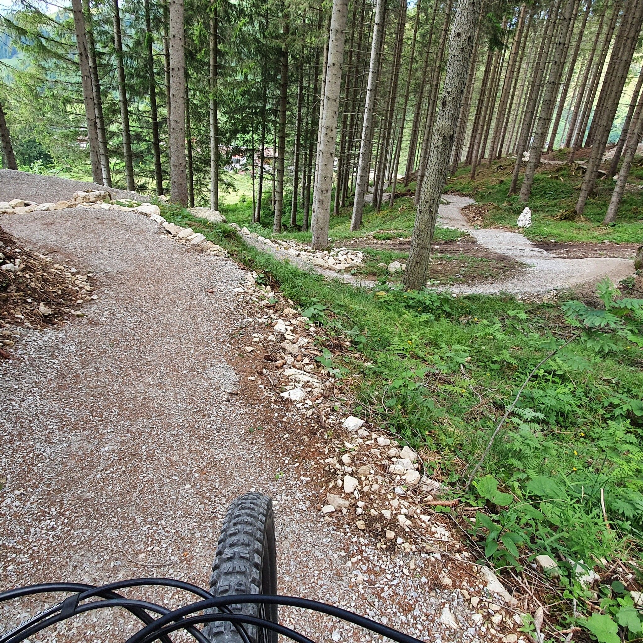
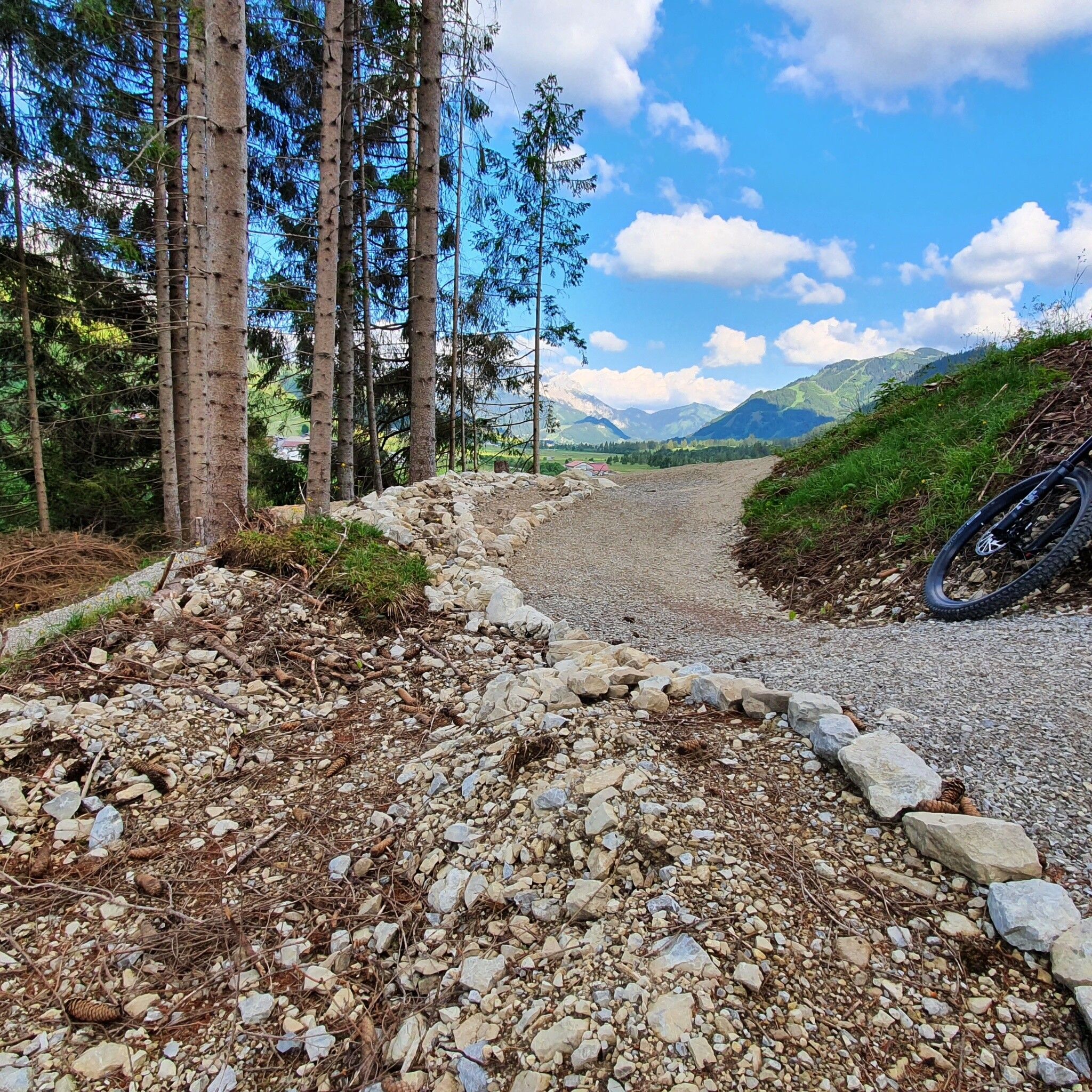
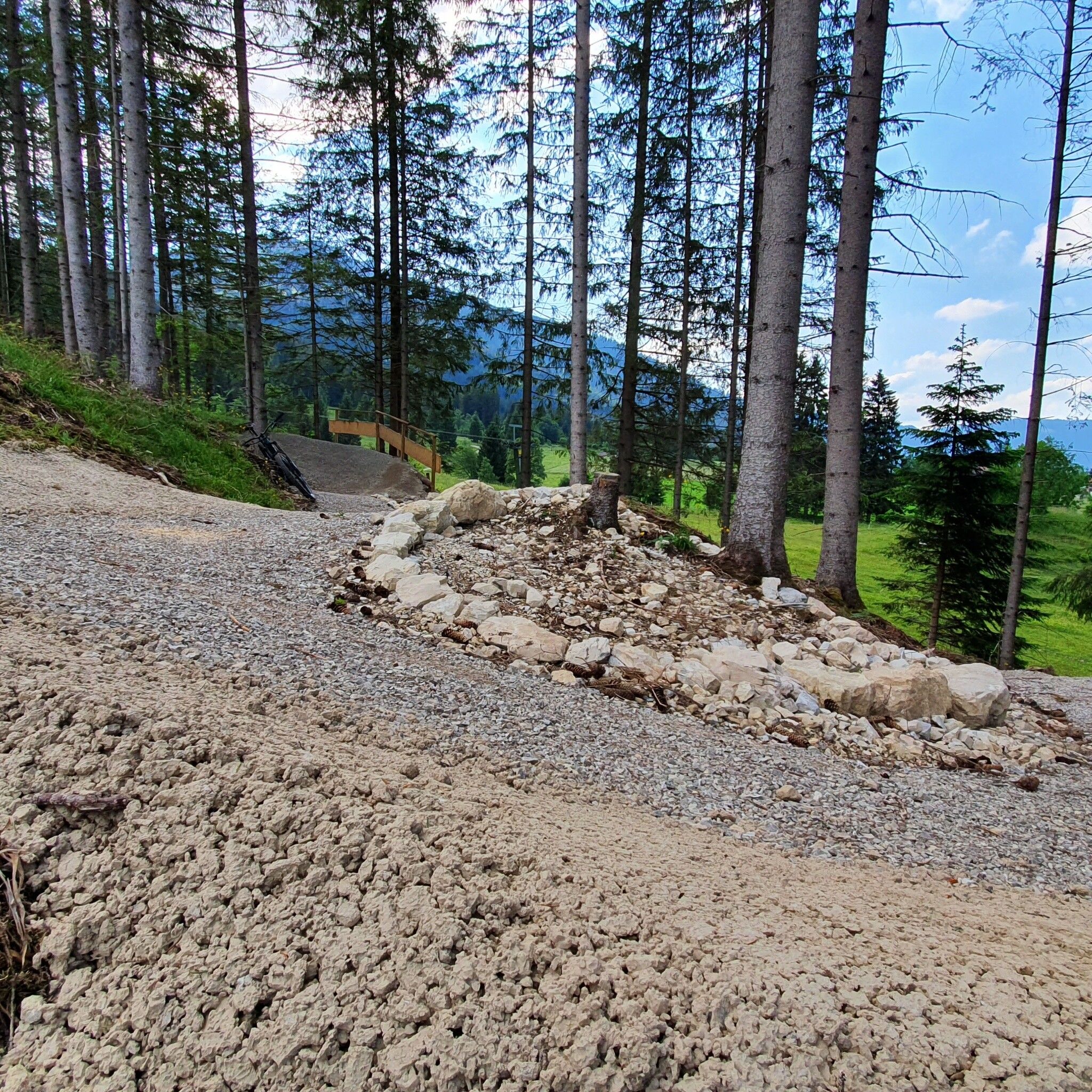
The 3 practice trails of 500m each offer various descents with different demands: The flowing PONTENLINE winds through the Mühlwald with numerous curves and waves. The ZIRLESECKLINE and ROHNENELINE are more technically challenging with roots and drops. All 3 trails start at the same point and merge again at the end. This way, beginners and experts can bike together.
By train to Sonthofen, Pfronten/Ried or Reutte, then by bus to Zöblen. Bus stop Gemeindeamt.
On the A7 motorway at the exit "Oy-Mittelberg" take the B310 towards Wertach and Oberjoch. There follow the signs "Tannheimer Tal" B199, exit Zöblen. From the Tyrol side via Reutte on the B198 towards Lechtal to Weißenbach, over the Gaicht Pass along the B199 to the exit Zöblen.
Lift parking Zöblen - paid


