2026 SEEN-LAUF Tannheimer Tal - 25 km run

Nesselwängle / Allgäu Alps
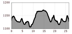
Route length: 26.5 km
Duration: 2:00 h

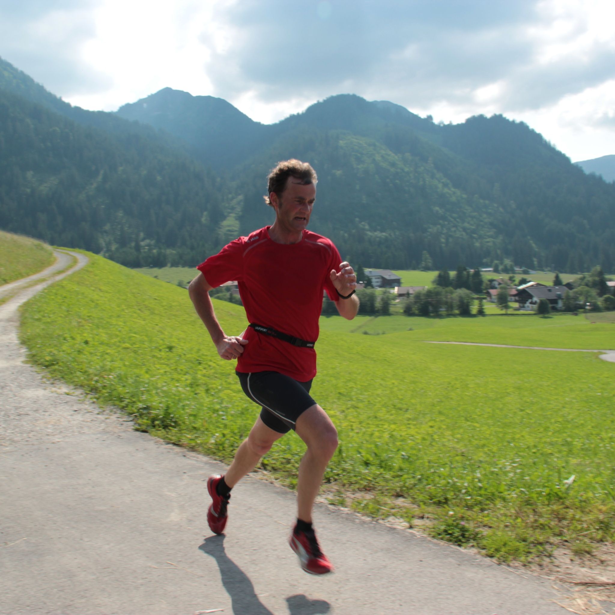
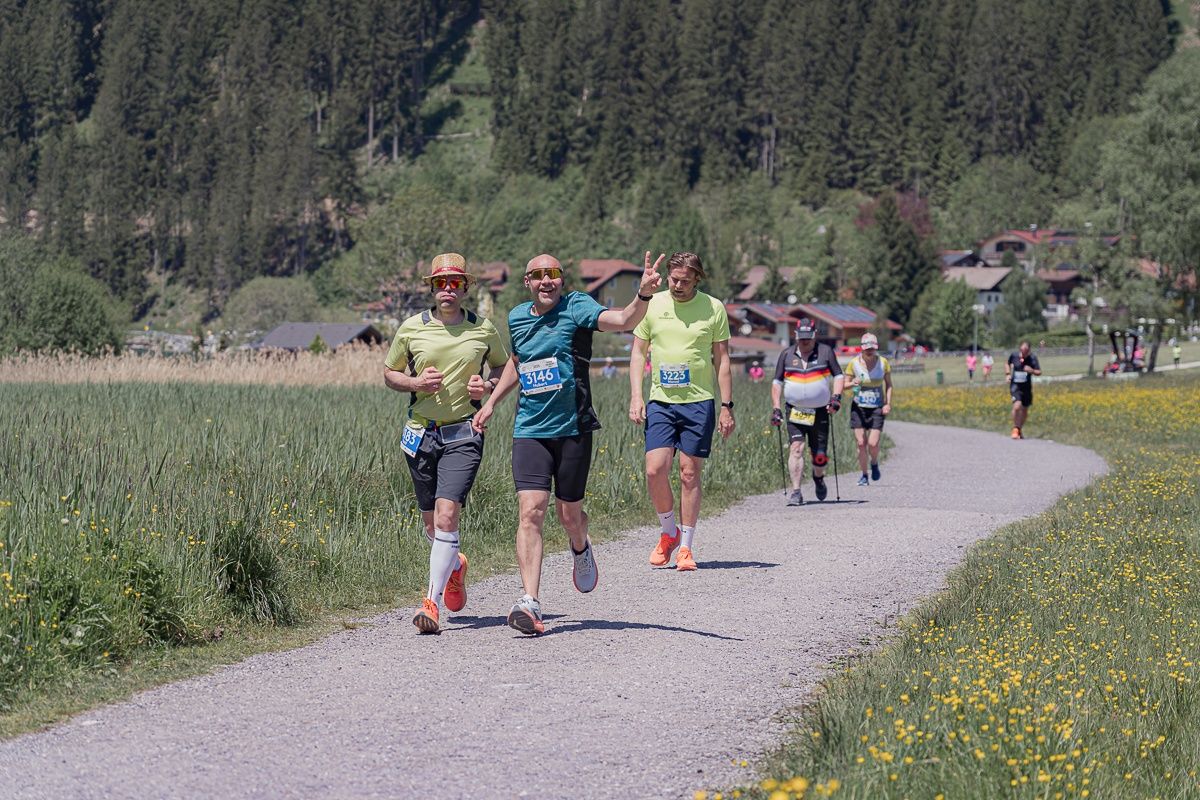
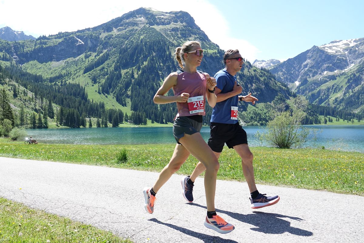
Lace up your running shoes... ... and off you go through an impressive landscape: On Saturday, 30 May 2026, the Seen Lauf will take place again in the Tannheimer Tal. Runners can choose between two distances: 10 km or 23 km – perfect for every level. The run is suitable for everyone and offers an unforgettable experience for both recreational runners and professionals!

Tour information

  • Length: 26.5 km
  • Duration: 2:00 h
  • Elevation uphill:192 hm
  • Elevation downhill:190 hm
Highest point1,178 m

Starting point

Sportcenter Nesselwängle

Finishing point

Sportcenter Nesselwängle
  • Fitness level 6 / 6
  • Technique 1 / 6

Best time of year

  • January
  • February
  • March
  • April
  • May
  • June
  • July
  • August
  • September
  • October
  • November
  • December

Equipment

The participant acknowledges that during the "SEEN-LAUF Tannheimer Tal" the hiking trails and roads are not closed, all hiking trails and roads are also used by other people, and generally the traffic regulations (StVO) apply.

Start numbers are only handed out personally to the respective participant. There is an unofficial finish list for all routes, which serves as control for the organizer.

Source: Tannheimer Tal

Description

Date: Saturday, 30 May 2026

From 9:00 a.m. bib number distribution and late registrations at Sportcenter Nesselwängle.

Every athlete aged 16 and older is eligible to start on the 10 km and 23 km routes.

Start/Finish location: Sportcenter Nesselwängle

Start at 12:00 p.m.

Cut-off time at 4:00 p.m.

Award ceremony at 4:30 p.m. at Sportcenter Nesselwängle

Route:

Nesselwängle – Haldensee – Tannheim – Vilsalpsee – Tannheim – Haldensee – Nesselwängle

Entry fee:

  • until 29.04.2026: 30.00 €
  • until 29.05.2026: 40.00 €
  • On-site late registration plus 10.00 Euro

Refreshment stations:

  • Station 1 – Haldensee East after 3.4 km
  • Station 2 – Tannheim Ressebichl after 7.0 km
  • Station 3 & 4 – Tannheim towards Vilsalpsee, end of forest path after 10.4 km & 12.6 km
  • Station 5 – Tannheim Ressebichl after 16.0 km
  • Station 6 – Haldensee East after 19.5 km
  • Station 7 – Finish refreshments Nesselwängle after 23 km

Class divisions

  • Men / Women Junior: U20 (2008 - 2007)
  • Men / Women: Over 20 - Under 30 (2006 - 1997)
  • Men / Women Master M/W30: Over 30 - Under 40 (1996 - 1987)
  • Men / Women Master M/W40: Over 40 - Under 50 (1986 - 1977)
  • Men / Women Master M/W50: Over 50 - Under 60 (1976 - 1967)
  • Men / Women Master M/W60: Over 60 - Under 70 (1966 - 1957)
  • Men / Women Master M/W70: Over 70 (1956 and older)

Getting here

  • Arrival by public transport

    Bus line 120 serves a bus stop (Krinnalplift) at the sport center

    Bus:

    • Bus connection from Sonthofen to Oberjoch
    • Bus connection from Jungholz to Oberjoch
    • Bus connection from Oberjoch
    • Bus connection from Pfronten
    • Bus connection from Reutte

    Train stations:

    • Sonthofen: 24 km (bus connection Sonthofen - Oberjoch, Oberjoch - Nesselwängle)
    • Pfronten/Ried: 16 km (bus connection Pfronten - Nesselwängle)
    • Reutte: 24 km (bus connection Reutte - Nesselwängle)

    Airports:

    • Memmingen 80 km
    • Munich 205 km
    • Stuttgart 205 km
    • Zürich 220 km
    • Innsbruck 120 km

  • Parking

    Coming from Reutte (B198) on the B199 towards Nesselwängle, or coming from Oberjoch (B310) on the B199 towards Nesselwängle


    Directly from Sportcenter Nesselwängle or Liftgesellschaft Nesselwängle Krinnalplift

Weather

Today

snow showers
6°C/1°C
80%4l10 km/h

Sun

moderate rain
13°C/2°C
85%11.9l15 km/h

Mon

partly Cloudy
11°C/1°C
15%0l10 km/h
Go to weather forecast

More tours in the surrounding area

Newsletter

The mountain is calling? So does our newsletter!

In our monthly newsletter we reveal the best holiday tips for Tyrol.