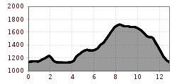
2026 SEEN-LAUF Tannheimer Tal – 3 Hut Trail (S)

Nesselwängle / Allgäu Alps
Route length: 12.9 km
Duration: 2:55 h

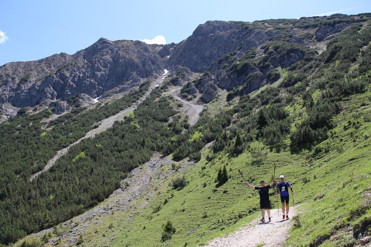
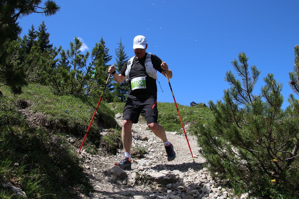
Lace up your running shoes .....and off you go through impressive scenery: on Saturday, 31 May 2025, the Lakes Run will take place again in the Tannheimer Valley. The time has finally come: a trail run will also be offered again, with two distances – 12.5 km and 25 km – perfect for beginners and experienced runners alike!

Tour information

  • Length: 12.9 km
  • Duration: 2:55 h
  • Elevation uphill:718 hm
  • Elevation downhill:722 hm
Highest point1,728 m

Starting point

Nesselwängle Sports Centre

Finishing point

Nesselwängle Sports Centre
  • Fitness level 6 / 6
  • Technique 3 / 6

Equipment

The participant acknowledges that during the ‘SEEN-LAUF Tannheimer Tal’ the hiking trails and roads are not closed, all hiking trails and roads are also used by other people, and the Road Traffic Regulations (StVO) apply in principle.  Determined on the basis of ASTA Speed Trail Mittelgebirge specifications (up to 1500 m elevation gain / 30 km):

- Trail running shoes or sturdy footwear with sufficient tread

- Collapsible cup, folding cup or drinking vessel (bottle, etc.)

- Drinking container with/for 0.5 litres of fluid at the start

- Charged mobile phone with ringtone switched on and the organiser's emergency number stored: +43 5675 824935 (mountain rescue) or emergency number 140

- Identification document

Additional/recommended equipment (optional):

- Rain jacket/weatherproof jacket

- Emergency equipment (small first aid kit and rescue blanket)

- Hat, balaclava, gloves

- Personal food (bars, gels, etc.) => must be marked with your race number

- Running backpack, running vest or running belt

- Running or trail running poles => must be carried with you for the entire route if used (no handing over, no dropping off during the race)

The organiser reserves the right to make changes or additions to the mandatory equipment if necessary (e.g. due to weather conditions). These will be communicated to all participants in good time, at the latest on the day before the race.

Mandatory equipment will be checked at random at the entrance to the start area.

Source: Tannheimer Tal

Description

Date: Saturday, 31 May 2025

From 9:00 a.m. Race number distribution and late registrations at the Nesselwängle Sports Centre.

All athletes aged 16 and over are eligible to participate in the 12.5 km and 25 km trail runs.

Start/finish location: Nesselwängle Sports Centre

Start at 11:15 a.m.

Finishcloses at 4:00 p.m.

Awardceremony at 4:30 p.m. at the Nesselwängle Sports Centre

Route:

Nesselwängle – Haldensee – Gräner Ödenalpe – Edenalpe Nesselwängle – Krinnenalpe – Nesselwängle

Entryfee:

until 30 April 2025: € 35.00

until 30 May 2025: € 45.00

Late registration on site plus €10.00

Refreshment stations:

  • Station 1 – Haldensee East after 4 km
  • Station 2 – Krinnenalpe area 10 km
  • Station 3 – Finish refreshments Nesselwängle

Classification

  • Men/Women Junior: under 20 (2010–2007)
  • Men/Women: over 20– under 30 (2006–1997)
  • Men/Women Master M/W30: over 30– under 40 (1996–1987)
  • Men/Women Master M/W40: over 40 - under 50 (1986 - 1977)
  • Men/Women Master M/W50: over 50 - under 60 (1976 - 1967)
  • Men/Women Master M/W60: over 60 - under 70 (1966 - 1957)
  • Men/Women Master M/W70: over 70 (1956 and older)

Getting here

  • Arrival by public transport

    Bus line 120 stops at the sports centre (Krinnalplift).

    Bus:

    • Bus connection from Sonthofen to Oberjoch
    • Bus connection from Jungholz to Oberjoch
    • Bus connection from Oberjoch
    • Bus connection from Pfronten
    • Bus connection from Reutte

    Railway stations:

    • Sonthofen: 24 km (bus connection Sonthofen - Oberjoch, Oberjoch - Nesselwängle)
    • Pfronten/Ried: 16 km (bus connection Pfronten - Nesselwängle)
    • Reutte: 24 km (bus connection Reutte - Nesselwängle)

    Airports:

    • Memmingen 80 km
    • Munich 205 km
    • Stuttgart 205 km
    • Zurich 220 km
    • Innsbruck 120 km

  • Parking

    Whether you are travelling from France, Belgium, Holland or Germany,

    northern Europe has direct access via the motorway:

    The fastest, easiest and vignette-free way to reach the Tannheimer Tal by car is via the A7 motorway. Turn right at the ‘Oy-Mittelberg’ exit and follow the B 310 federal road towards Wertach/Oberjoch for approx. 15 kilometres. In Oberjoch, turn left towards the Tannheimer Tal.

    From Switzerland, you can reach the Tannheimer Valley via

    Lindau – Sonthofen or Arlberg – Landeck – Fern Pass – Reutte – Weißenbach > Tannheimer Valley. (No vignette required!)

    From Italy or Vienna, take the Austrian motorway

    Innsbruck – Mötz – Fern Pass – Reutte – Weißenbach > Tannheimer Tal

    or via Rosenheim – Bad Tölz – Garmisch-Partenkirchen – Reutte – Weißenbach > Tannheimer Tal.


    Sports centre car park

    Krinnenalplift car park

Weather

Today

snow showers
6°C/1°C
85%5.9l10 km/h

Sun

moderate rain
12°C/2°C
85%12.8l15 km/h

Mon

cloudy
11°C/0°C
20%0.2l5 km/h
Go to weather forecast

More tours in the surrounding area

Newsletter

The mountain is calling? So does our newsletter!

In our monthly newsletter we reveal the best holiday tips for Tyrol.