2026 Seen Run Tannheimer Tal - 3 km pupil run

Nesselwängle / Allgäu Alps
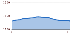
Route length: 1.1 km
Duration: 0:10 h

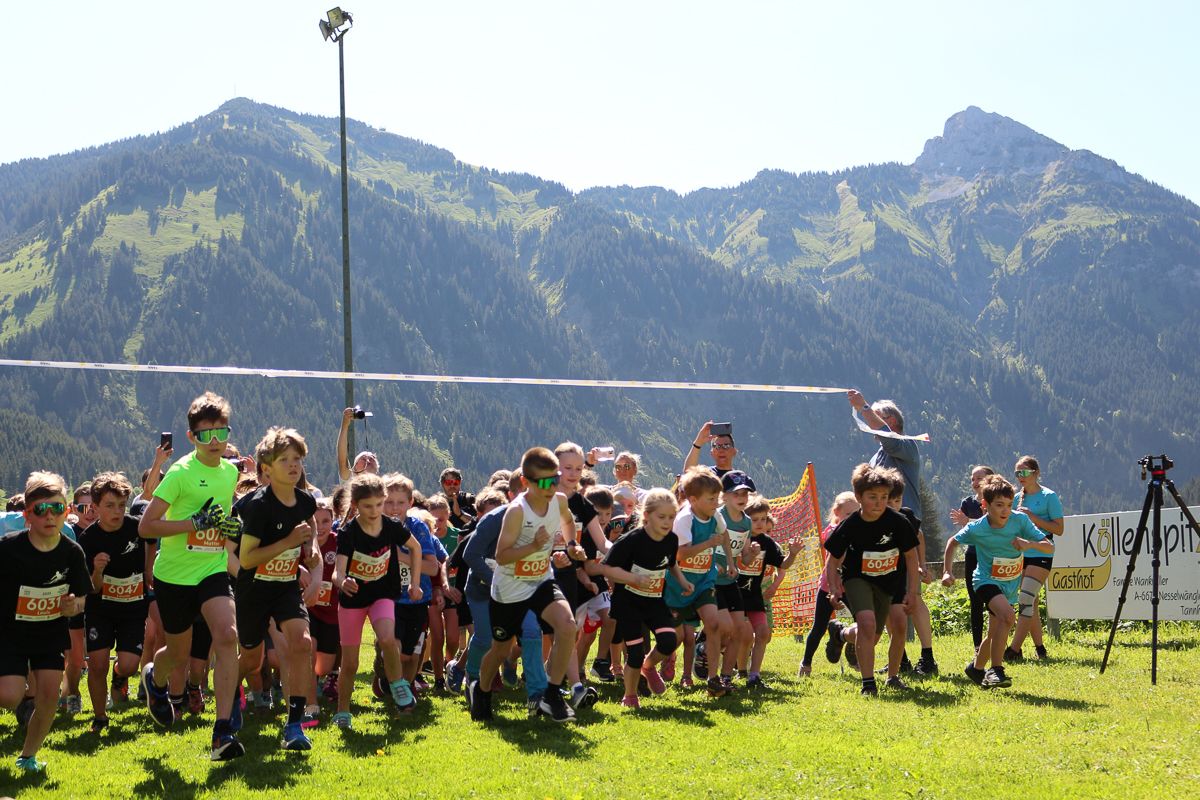
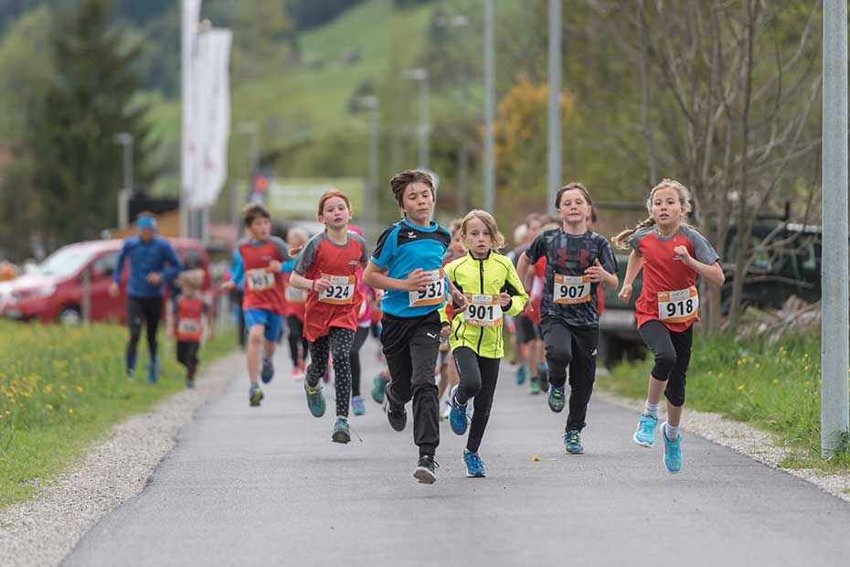
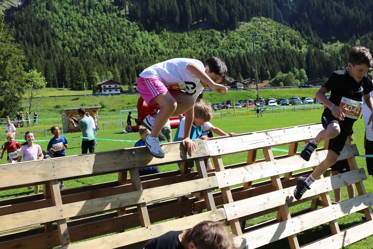
Lace up your running shoes... ... and off you go through an impressive landscape: On Saturday, May 30, 2026, the Seen Run will take place again in the Tannheimer Tal. Different routes will also be offered again for our children and pupils in the town centre of Tannheim.

Tour information

  • Length: 1.1 km
  • Duration: 0:10 h
  • Elevation uphill:21 hm
  • Elevation downhill:21 hm
Highest point1,150 m

Starting point

Sportcenter Nesselwängle

Finishing point

Sportcenter Nesselwängle
  • Fitness level 2 / 6
  • Technique 1 / 6

Best time of year

  • January
  • February
  • March
  • April
  • May
  • June
  • July
  • August
  • September
  • October
  • November
  • December
Source: Tannheimer Tal

Description

Date: Saturday, May 30, 2026

From 9:00 a.m. bib number distribution and late registration at Sportcenter Nesselwängle.

Start/finish location: Sportcenter Nesselwängle

Start at 10:30 a.m.

Children's award ceremony at 11:30 a.m. at Sportcenter Nesselwängle

Entry fee:

  • Until April 29, 2026: €6.00
  • Until May 29, 2026: €8.00
  • On-site late registration plus €8.00

Categories:

  • Children wU8 / mU8 (2019 and younger) - Distance: 650 m
  • Children wU10 / mU10 (2018 - 2017) - Distance: 1.3 km
  • Children wU12 / mU12 (2016 - 2015) - Distance: 1.3 km
  • Girls wU14 / Boys mU14 (2014 - 2013) - Distance: 3 km
  • Girls wU16 / Boys mU16 (2012 - 2011) - Distance: 3 km

Getting here

  • Arrival by public transport

    Bus:

    • Bus connection from Sonthofen to Oberjoch
    • Bus connection from Jungholz to Oberjoch
    • Bus connection from Oberjoch
    • Bus connection from Pfronten
    • Bus connection from Reutte

    Train stations:

    • Sonthofen: 24 km (bus connection Sonthofen - Oberjoch, Oberjoch - Nesselwängle)
    • Pfronten/Ried: 16 km (bus connection Pfronten - Nesselwängle)
    • Reutte: 24 km (bus connection Reutte - Nesselwängle)

    Airports:

    • Memmingen 80 km
    • Munich 205 km
    • Stuttgart 205 km
    • Zurich 220 km
    • Innsbruck 120 km

  • Parking

    Whether from France, Belgium, the Netherlands or Germany,

    Northern Europe has direct motorway access:

    The fastest, easiest, and vignette-free way by car to the Tannheimer Tal is via the A7 motorway. Turn right at the “Oy-Mittelberg” exit and follow federal road B 310 towards Wertach/Oberjoch for approx. 15 kilometres. At Oberjoch, turn left to Tannheimer Tal.

    From Switzerland, you can reach the Tannheimer Tal via

    Lindau – Sonthofen or Arlberg – Landeck – Fernpass – Reutte – Weißenbach > Tannheimer Tal. (No vignette required!)

    From Italy or Vienna, take the Austrian motorway

    Innsbruck – Mötz – Fernpass – Reutte – Weißenbach > Tannheimer Tal

    or via Rosenheim – Bad Tölz – Garmisch-Partenkirchen – Reutte – Weißenbach > Tannheimer Tal.


    Sportcenter car park

    Krinnenalplift car park

Weather

Today

snow showers
6°C/1°C
85%5.9l10 km/h

Sun

moderate rain
12°C/2°C
85%12.8l15 km/h

Mon

cloudy
11°C/0°C
20%0.2l5 km/h
Go to weather forecast

More tours in the surrounding area

Newsletter

The mountain is calling? So does our newsletter!

In our monthly newsletter we reveal the best holiday tips for Tyrol.
