

Difficulty:difficult
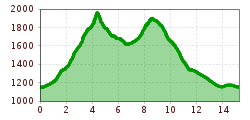
Length:85.1 kmDuration:35:00 hElevation uphill:6,805 m
Short description:A hike that has it all...Quality of experience: *****Recommended season:MayJuneJulyAugustSeptemberOctoberProperties:LoopScenicRefreshment stops availableCableway ascent/descentSummit route
Description:
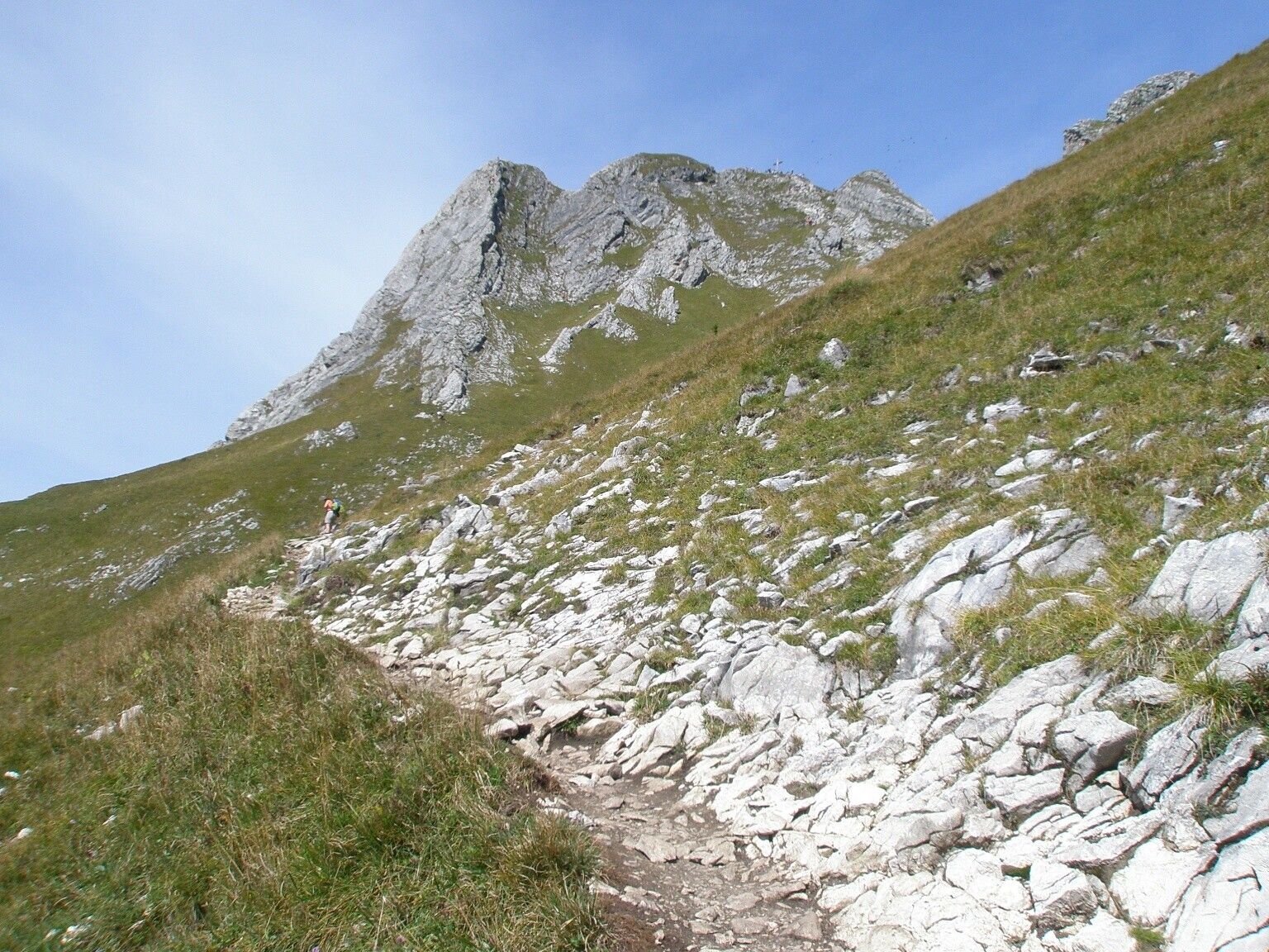
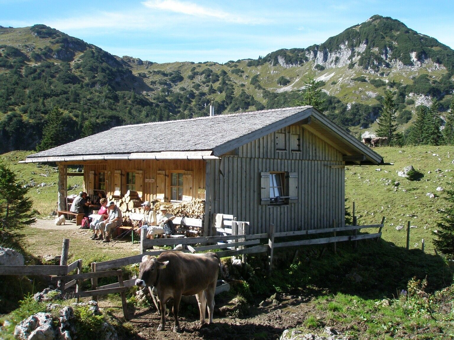
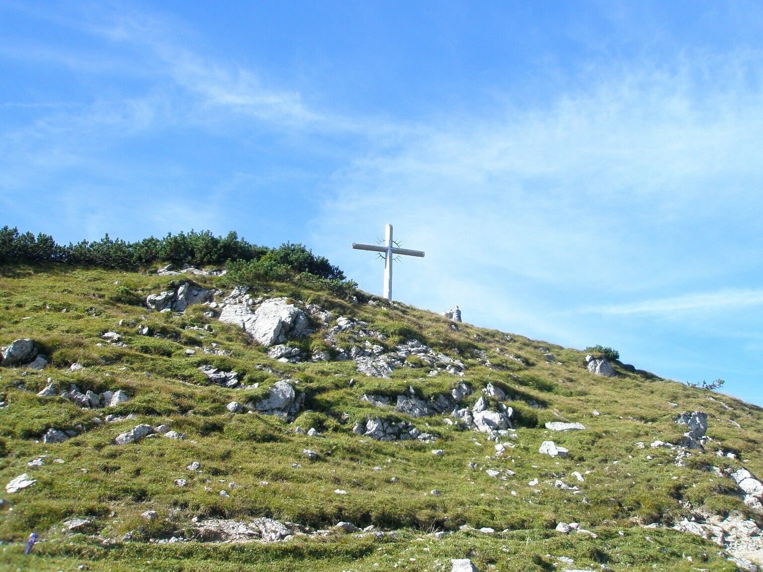
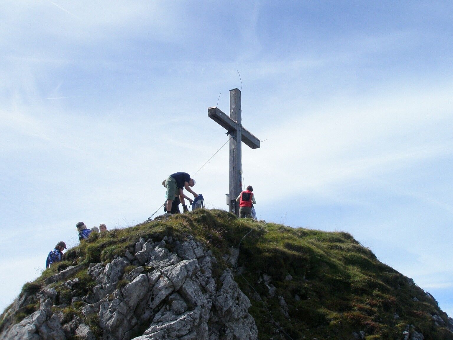
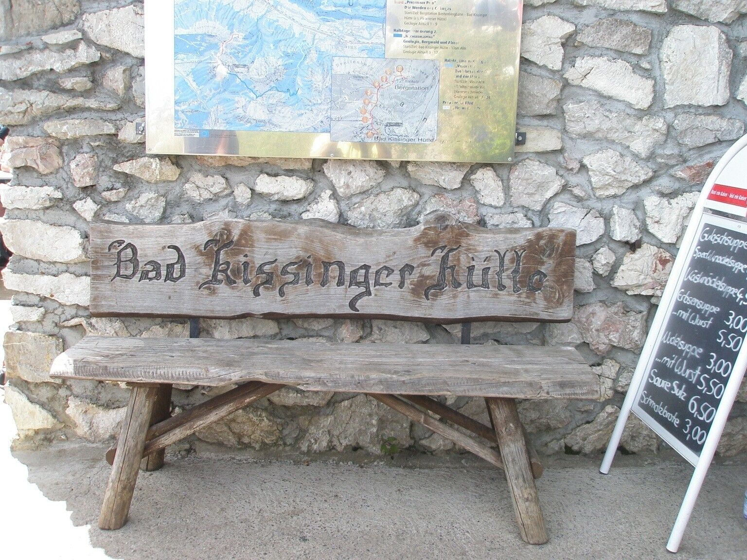
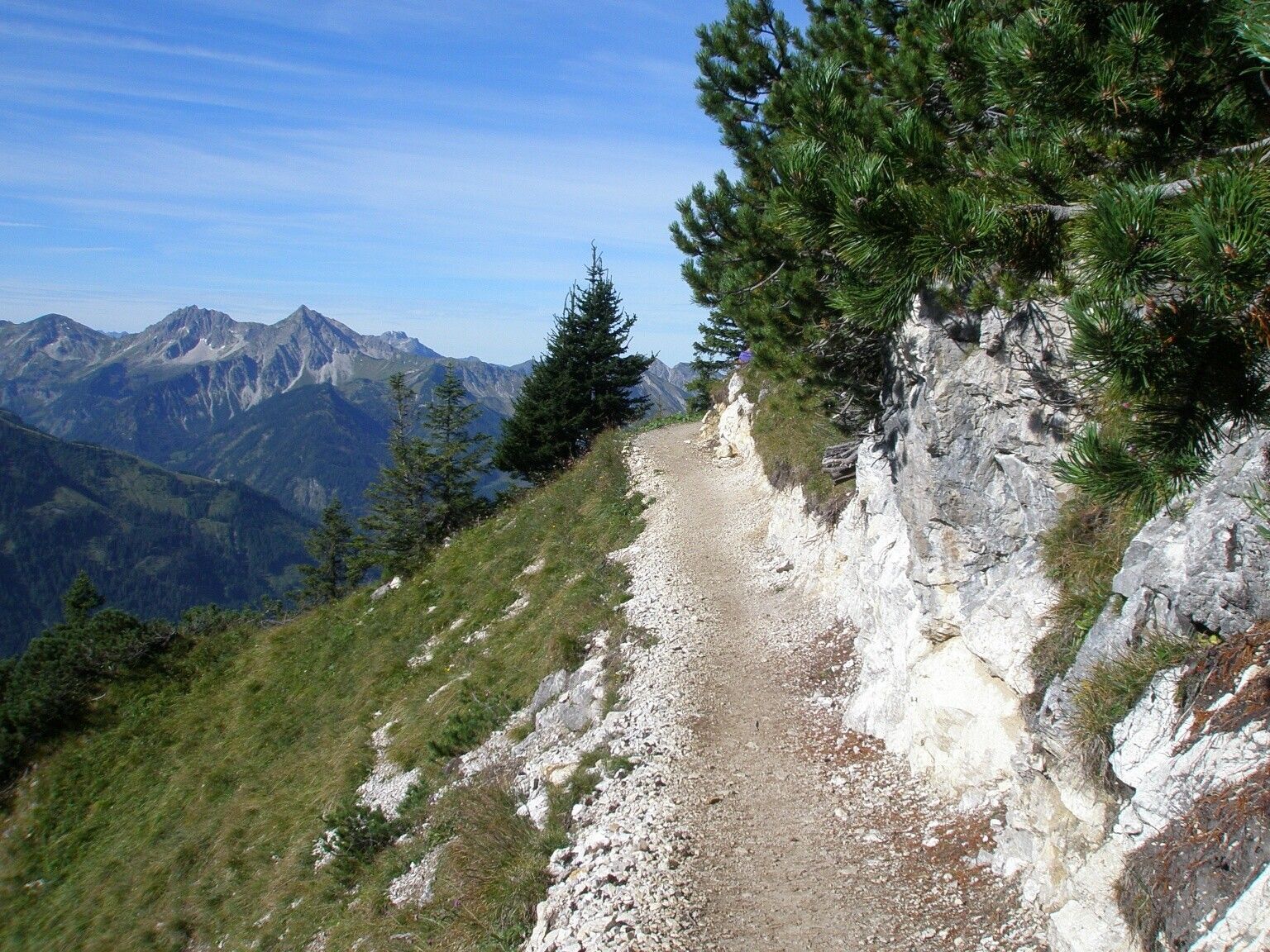
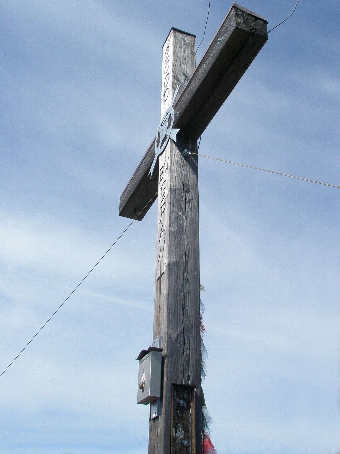
Starting from the Grän Enge parking lot, head to the Bad Kissinger Hütte (overnight accommodations), Trail No. 411, about 2 1/4 hours; continue to the Aggenstein on Trail No. 411a, about 3/4 hour. CAUTION! ! Rope safety lines are available in some sections, so sure-footedness and a head for heights are required; caution is especially advised in wet conditions. Return via the same trail to the Bad Kissinger Hütte parking lot, about 2 1/2 hours. Total walking time: about 5 1/2 hours.
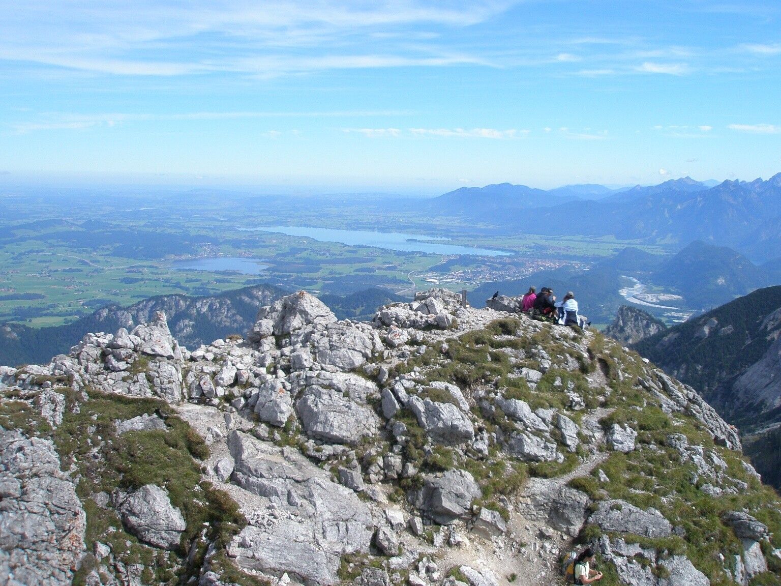
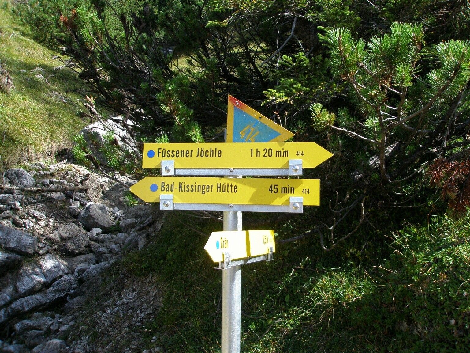
Directions:From the parking lot, head straight toward the houses. Take the first right, then immediately left. Go through the gate onto the pasture and continue following the trail markers to the Bad Kissinger Hut. The ascent is somewhat steep in places but scenic, with varied terrain. It’s not far from the hut to the summit, but don’t underestimate the climb. Magnificent panoramic views from the Aggenstein in all directions. The descent to the Bad Kissinger Hut follows the same route, continuing downhill to the Sebenalm, which lies in a beautiful cirque. On the opposite side of the cirque, the trail climbs again up to the Lumberger Ridge. Here you can spot chamois and marmots, and sometimes even eagles. The continued descent to the Füssener Jöchle mountain station and the Sonnenalm passes by the Gamskopf, where you’ll find the panoramic viewpoint information board. From here on, the trail leads only downhill to Grän. Shortly before the bridge over the Logbach, the trail turns right toward Lumberg. Follow this path to the main road, then turn right and right again, following “Am Lumberg” back to the starting point. Alternatively, you can take the mountain railway for the descent from the Sonnenalm to Grän.
Tip:


