Mountain hikes Aggenstein variant 2

closed
Grän-Haldensee / Allgäu Alps
Difficulty ratings: medium
Route length: 15.3 km
Duration: 7:49 h

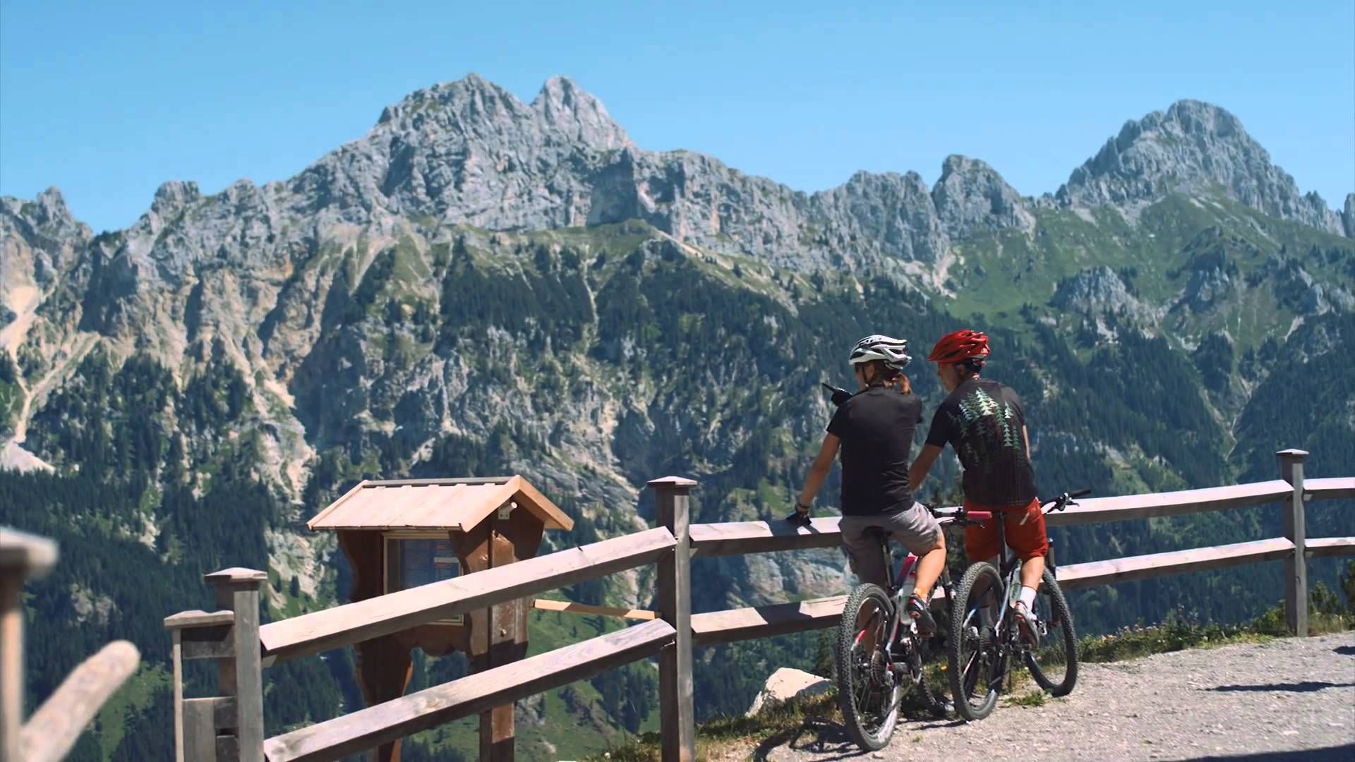
A hike that offers everything...
Tour information

  • Requirement: medium
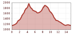
  • Length: 15.3 km
  • Duration: 7:49 h
  • Elevation uphill:1,153 hm
  • Elevation downhill:1,153 hm
Highest point1,986 m

Starting point

Parking lot in Grän/Enge

Finishing point

Parking lot in Grän/Enge
  • Fitness level 4 / 6

Best time of year

  • January
  • February
  • March
  • April
  • May
  • June
  • July
  • August
  • September
  • October
  • November
  • December

Equipment

It should be noted that there is an increased risk of accidents and injuries in mountaineering. Despite careful route planning, a base risk always remains. Preparation through endurance training, appropriate technical training and further education, as well as personal caution, reduces the risk of accidents and hazards. But please never forget that the weather in the mountains can change very quickly. Stay on the marked hiking trails. Personal mountaineering equipment must be safe and functional and meet the respective technical standards. Every hiker is advised to inform themselves about the planned routes in alpine specialist literature or locally.
Source: Tannheimer Tal

Description

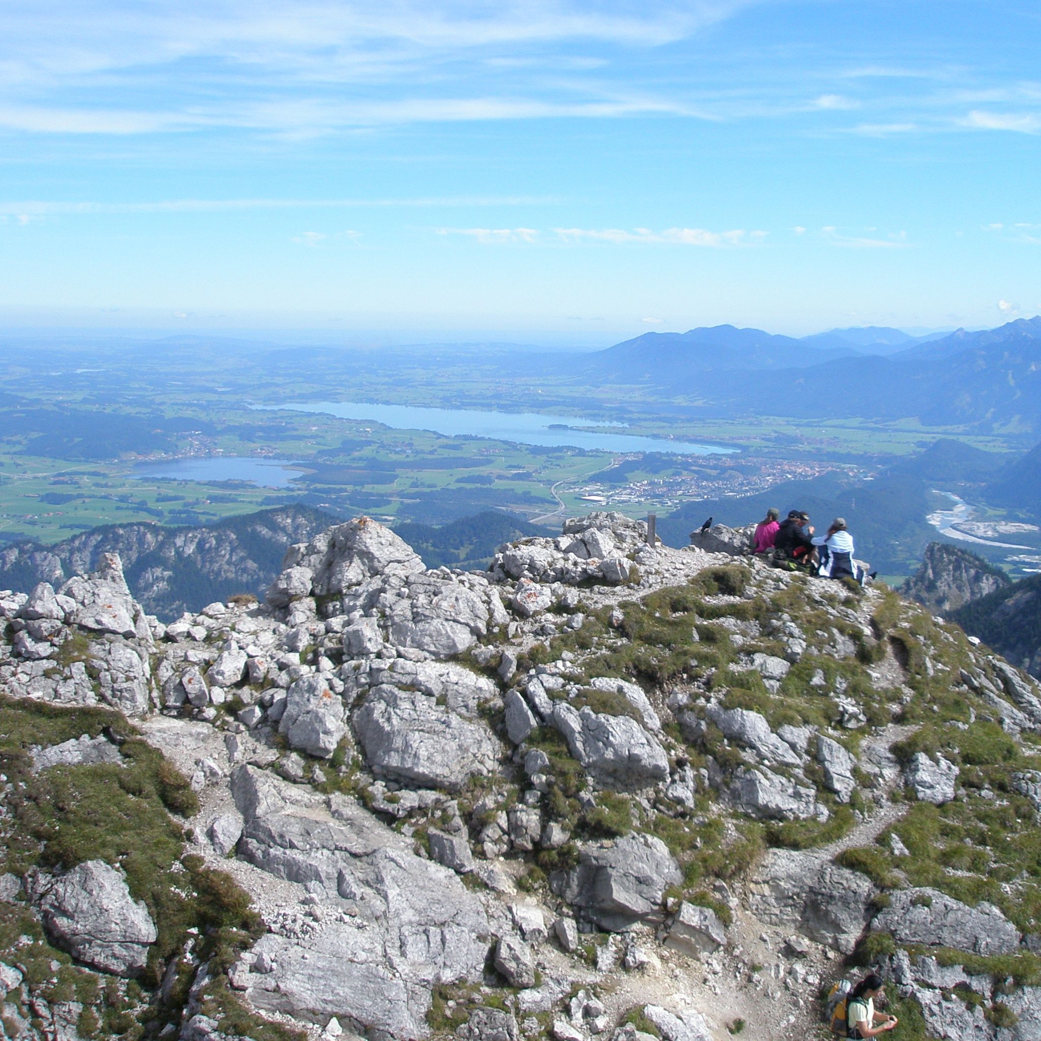
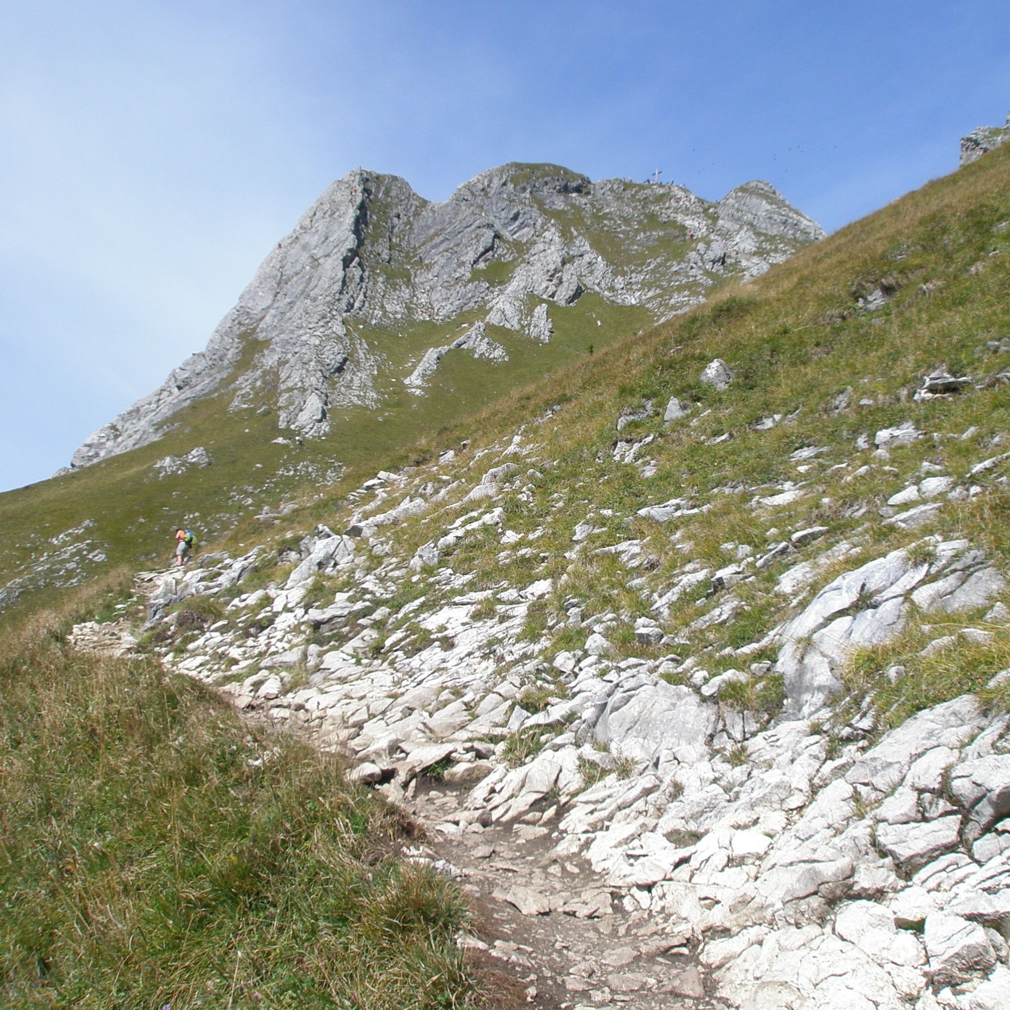
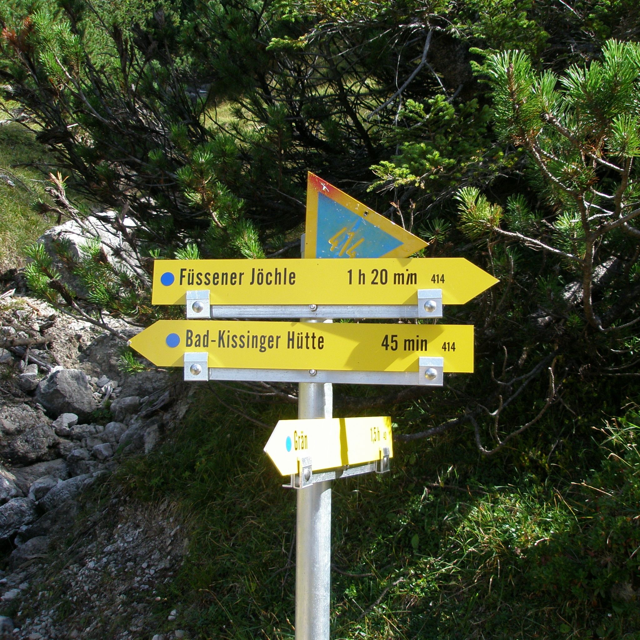
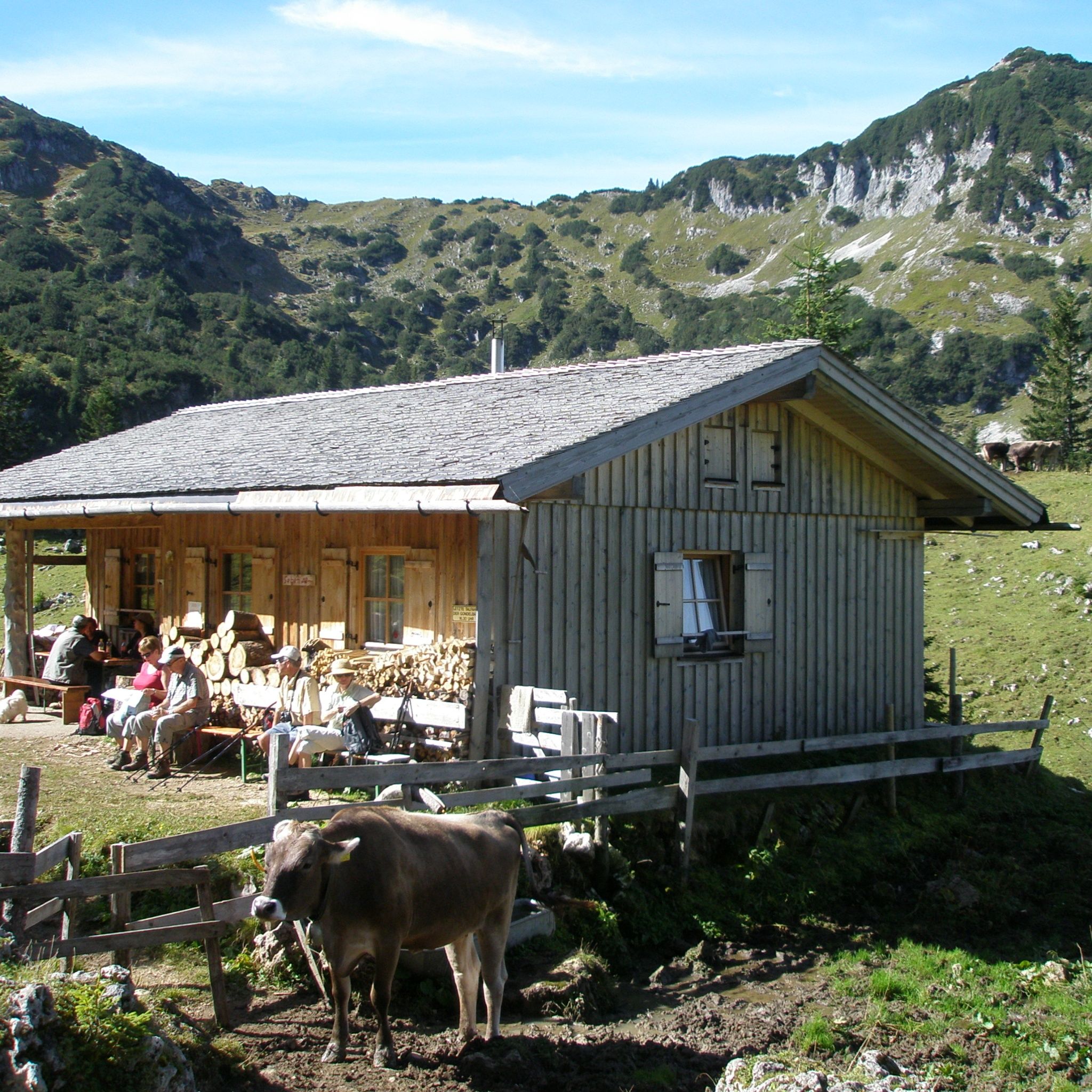
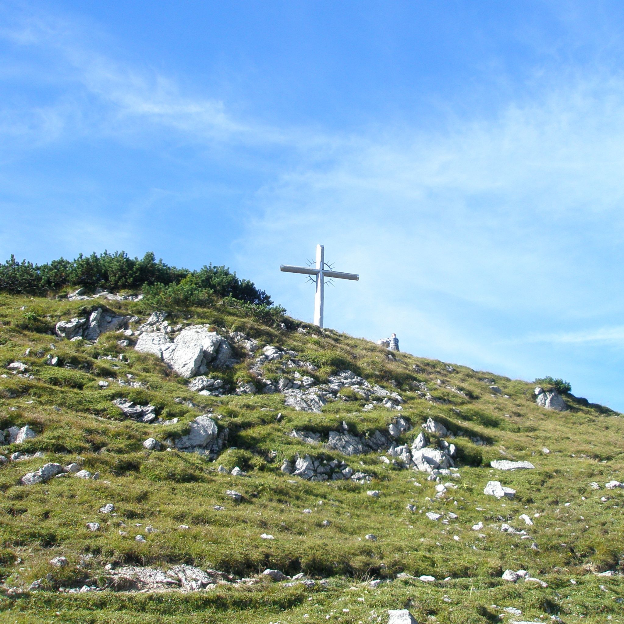
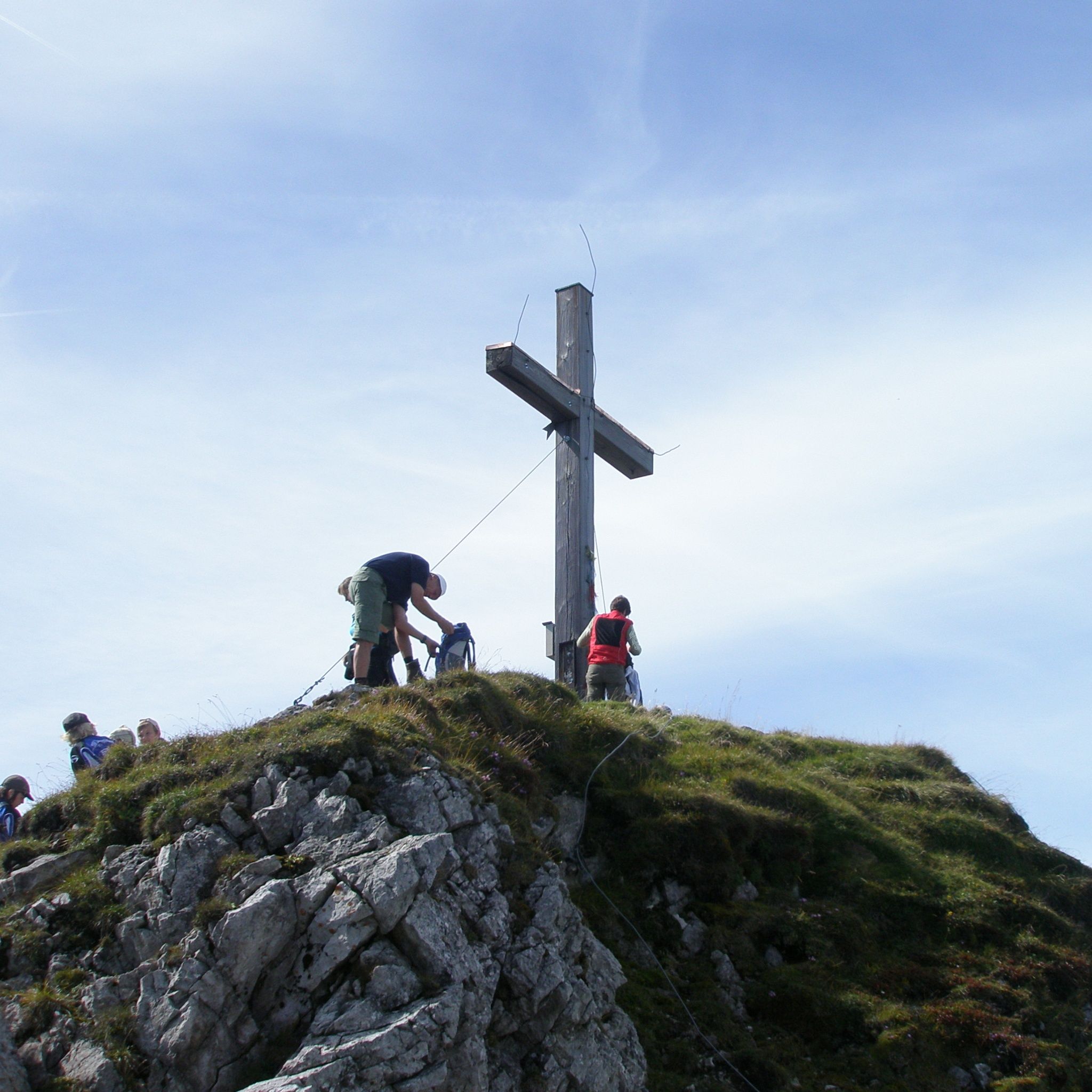
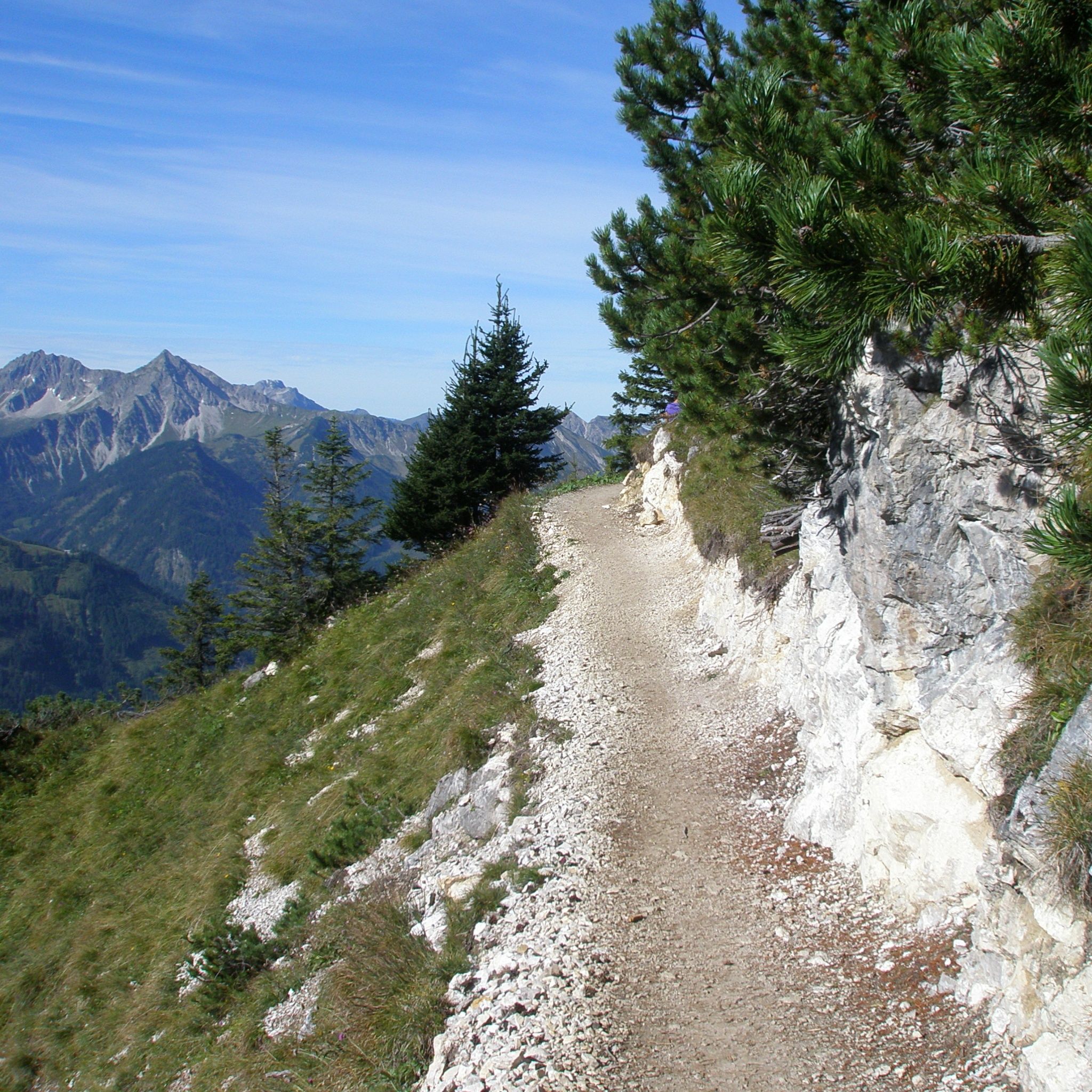
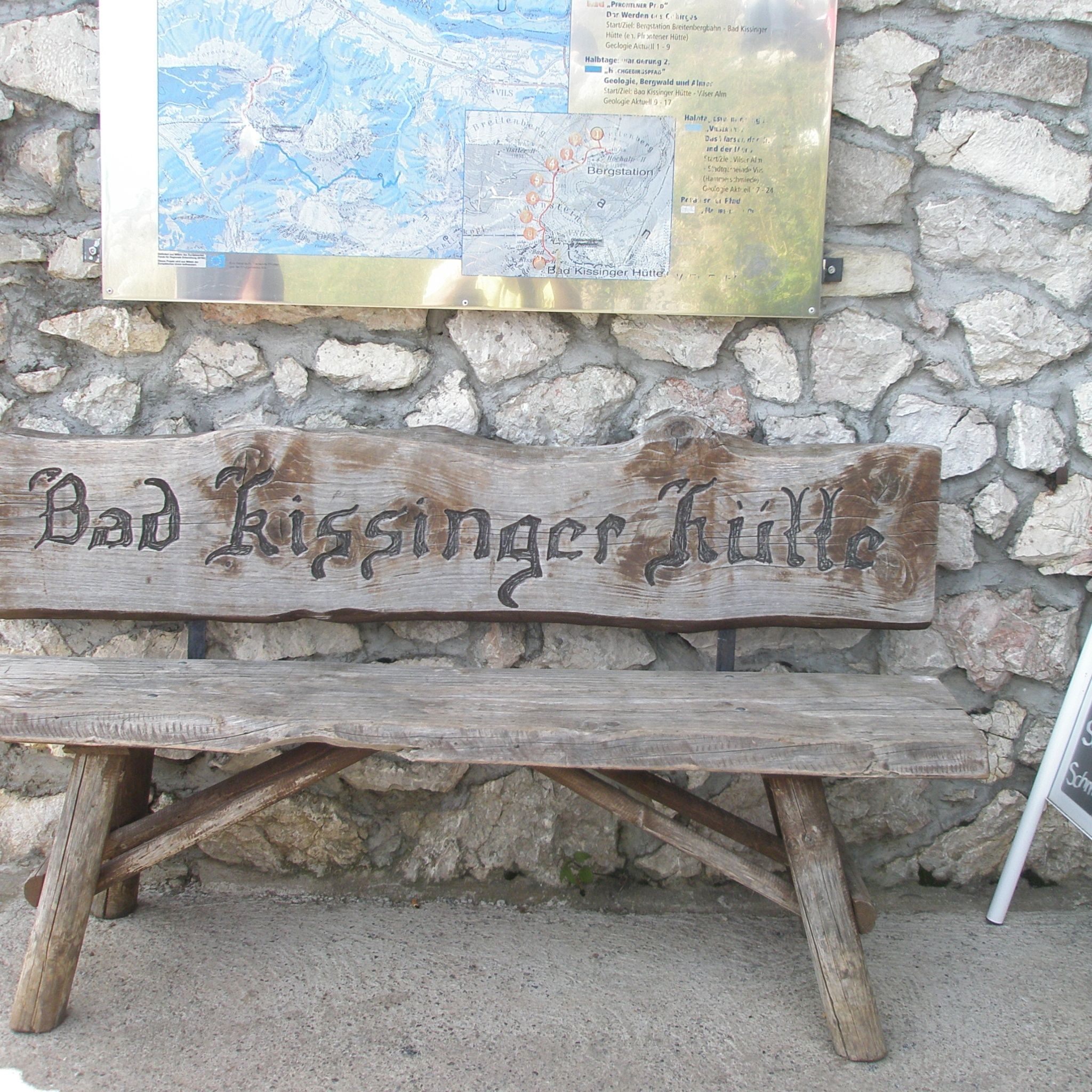
Starting from the Grän Enge parking lot to the Bad Kissinger Hut (overnight accommodation possible), route no. 411, approx. 2 1/4 hours, continuing to Aggenstein on route no. 411a, approx. 3/4 hours, ATTENTION!! Partial rope protection available, therefore surefootedness and lack of fear of heights are required, especially in wet conditions caution is advised. Return on the same path to the parking lot of the Bad Kissinger Hut, approx. 2 1/2 hours. Total walking time approx. 5 1/2 hours.


Getting here

  • Arrival by public transport

    By train to Sonthofen, Pfronten/Ried, or Reutte, then by bus to Grän.

  • Parking

    On the A7 motorway take the "Oy-Mittelberg" exit onto the B310 towards Wertach and then to Oberjoch. From there follow the signs to "Tannheimer Tal" B199, exit Grän, parking lot in the Enge district.From the Tyrol side via Reutte on the B198 towards Lechtal to Weißenbach, over the Gaicht Pass along the B199 to the exit Grän, parking lot in the Enge district.

    Parking lot in the Enge district of Grän

Weather

Today

clear sky
23°C/8°C
0%0l5 km/h

Mon

clear sky
23°C/8°C
0%0l10 km/h

Tue

mainly clear
22°C/9°C
0%0l10 km/h
Go to weather forecast
Newsletter

The mountain is calling? So does our newsletter!

In our monthly newsletter we reveal the best holiday tips for Tyrol.