
Difficulty:
difficult
Length:
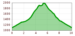
93.5 km
Elevation uphill:
7,700 m
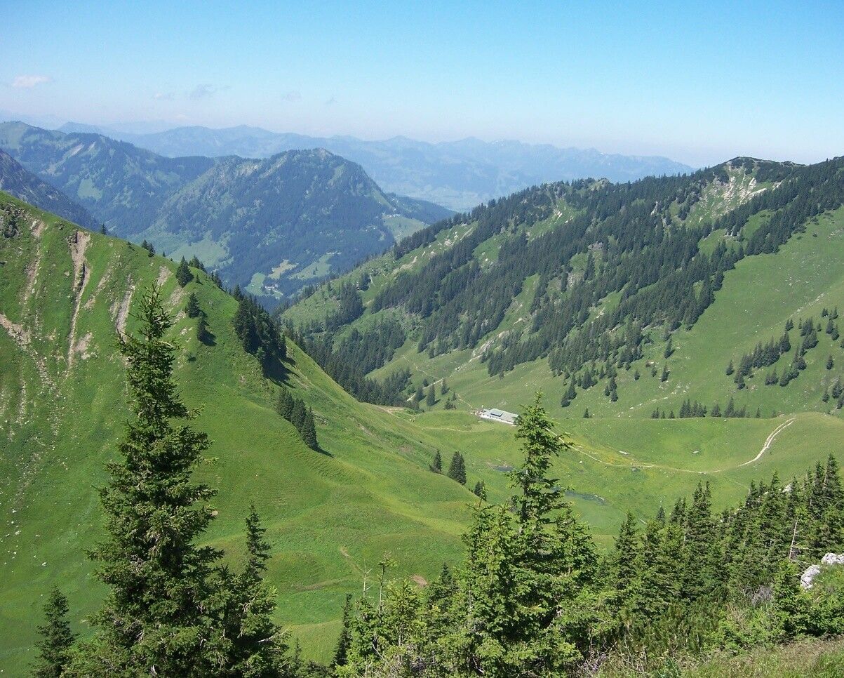
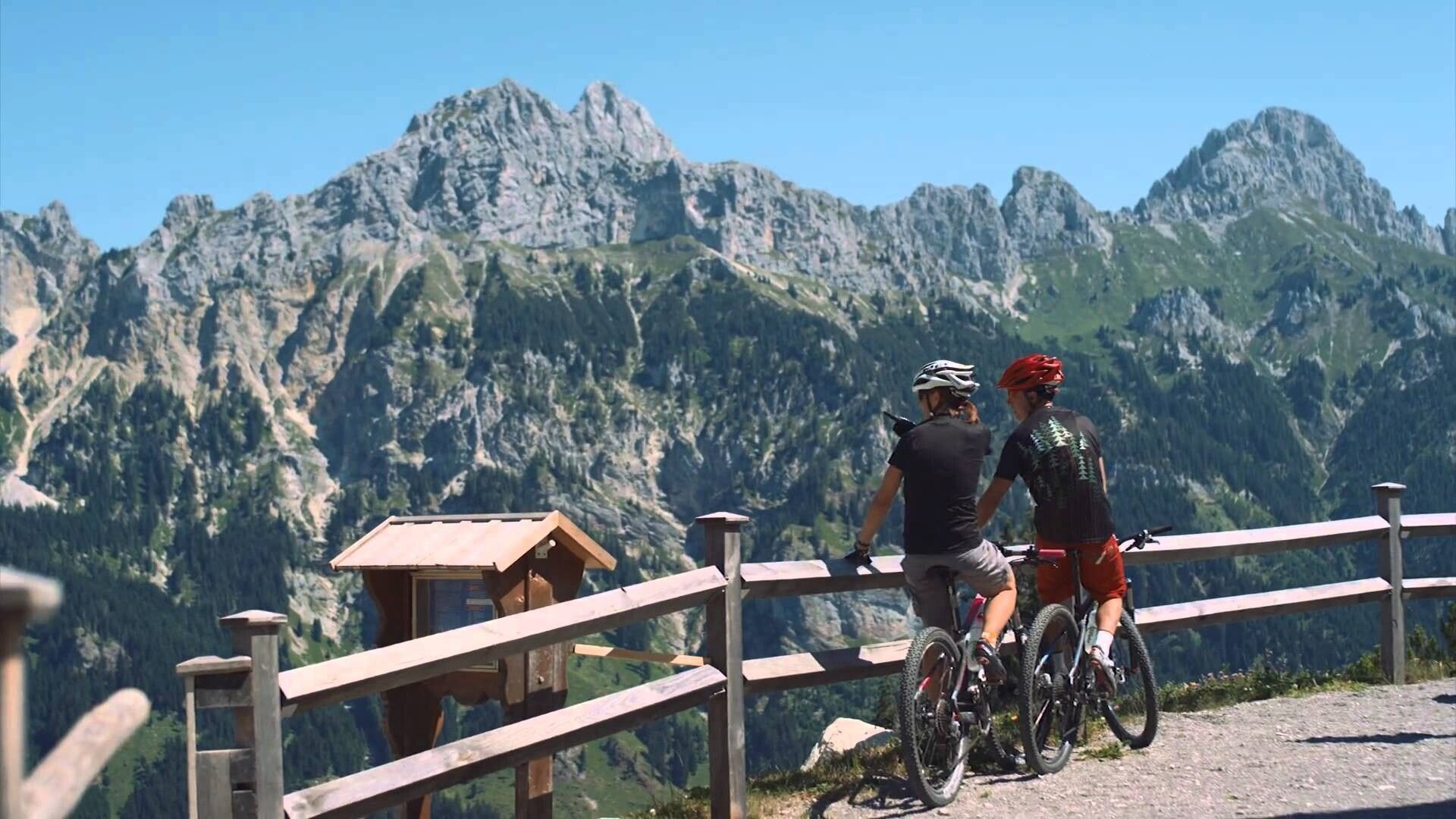
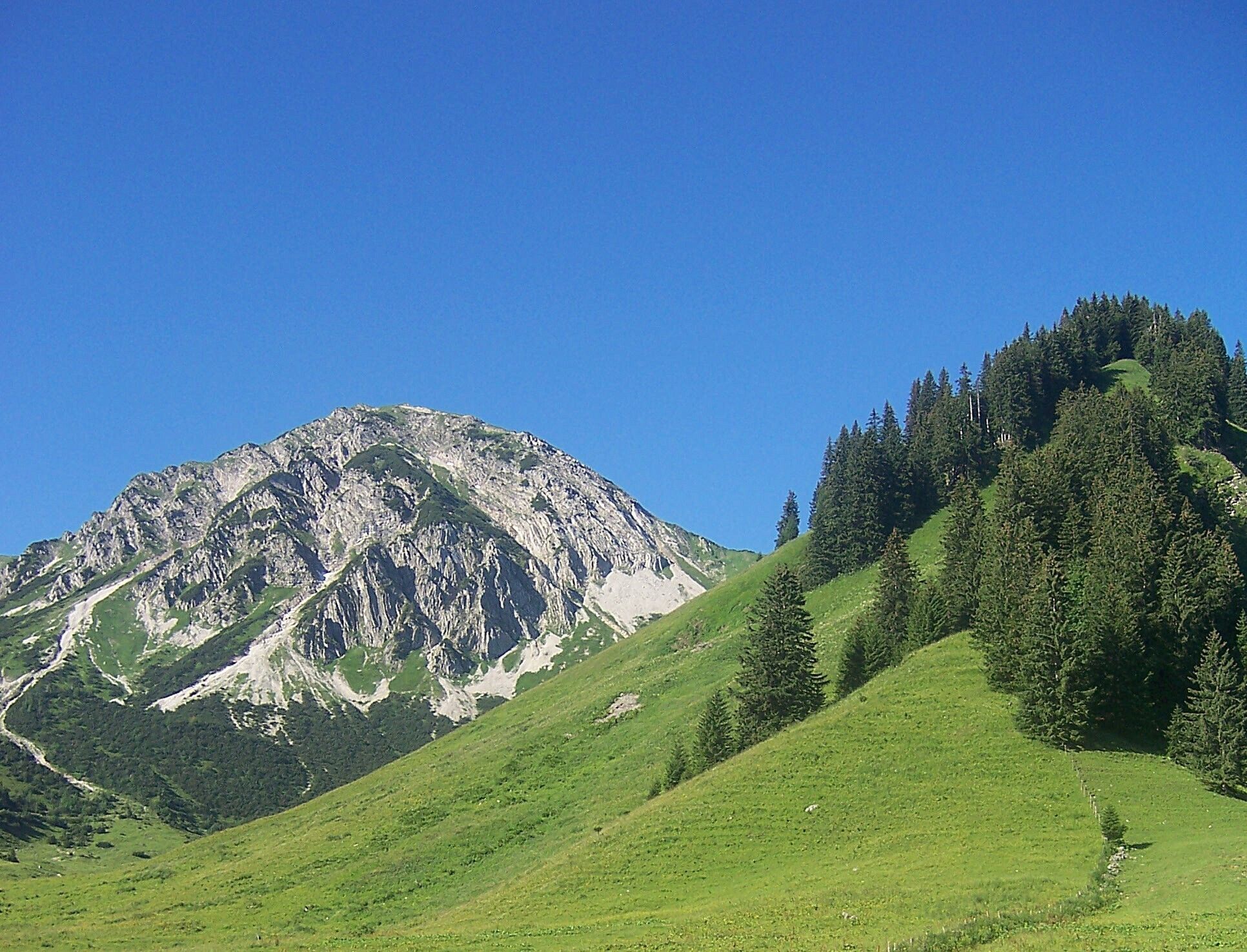
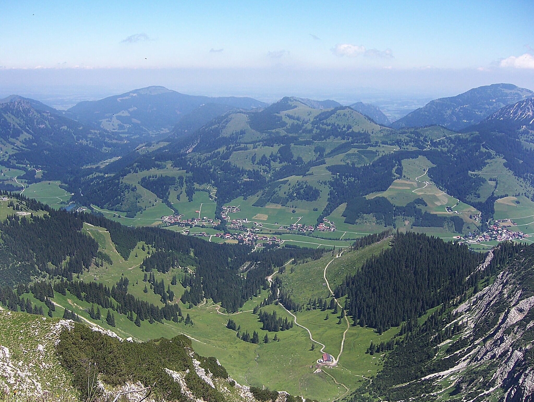
Short description:A scenic hike with many geological and wildlife highlights.Starting from the Wannenjochbahn parking lot in Schattwald, along the Stuibenbach, past the Lower Stuibenalpe (no hut), and continuing to the Stuibenalpe - about 1 hour. Ascent to the Bscheißer about 1 1/2 hours. Descent to the Güntle and Stuibenalpe, continuing to Schattwald on the forest road, about 2 1/2 hours.Total walking time about 5 hours.Quality of experience: ******Recommended season:MayJuneJulyAugustSeptemberOctoberProperties:LoopScenicRefreshment stops availableCableway ascent/descentSummit route

Description:
Enjoy a wonderful hike starting from the beautiful village of Schattwald through the Stuibenbach valley to the Bscheißer.
Directions:Relaxed refreshment at the Stuibenalpe with a hearty snack plate.
Safety guidelines:It should be noted that in mountaineering there can be an increased risk of accidents and injuries. Despite careful route planning, there is always a basic risk. Preparation through endurance training, appropriate technical training and further education as well as personal caution reduces the risk of accidents and dangers. But please never forget that the weather in the mountains can change very quickly.
Stay on the marked hiking trails.
.jpg")


