
Difficulty:
difficult
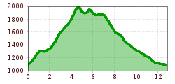
Length:
93.5 km
Elevation uphill:
7,700 m
Short description:Challenging route with some elevation gain from Schattwald to Bscheisser, Ponten, and Zirleseck.Quality of experience: *****Recommended season:JuneJulyAugustSeptemberOctoberProperties:LoopScenicFamily friendlyGeological highlightsBotanical highlightsFaunistic highlightsCableway ascent/descentSummit route
Description:
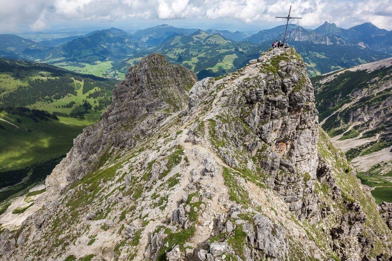
We start at the valley station of the Wannenjochbahn (option: ride the Wannenjochbahn up the mountain, from there to the Untere Stuibenalpe in about 30 minutes) and hike uphill towards Untere Stuibenalpe, Bscheisser. By the way, the mountain is 1999 m high and is called Bschießer in Germany! Over the magnificent ridge path we continue to Ponten with its exposed summit cross. Soon it goes level to Zirleseck, where we descend left into the Pontental. Now always downhill to the starting point!Directions:
Valley station of the Wannenjochbahn Schattwald - Untere Stuibenalpe - Bscheisser - Ponten - Zirleseck - Pontental - valley station of the Wannenjochbahn Schattwald Tip:
Pack a snack!
.jpg")


