Mountain hikes Circular trail around the Vilsalpsee

open
Tannheim / Allgäu Alps
Difficulty ratings: medium
Route length: 11.8 km
Duration: 2:55 h

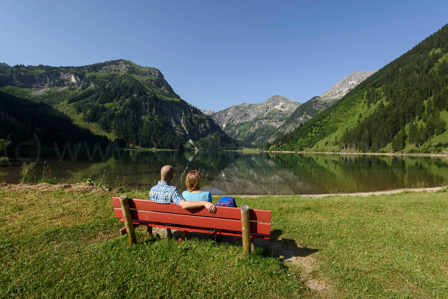
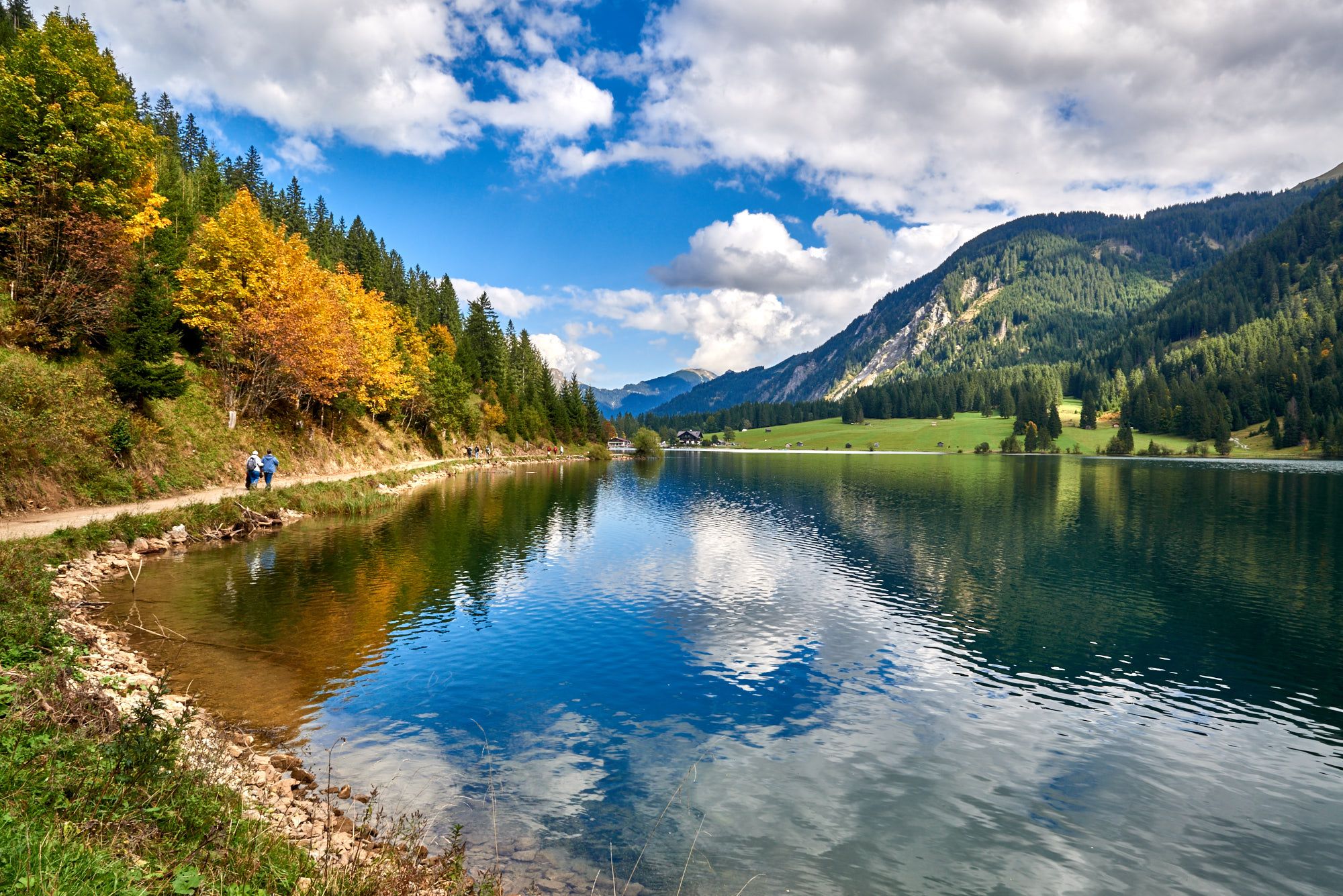
A hike to the beautiful Vilsalpsee nature reserve.
Tour information

  • Requirement: medium
  • Length: 11.8 km
  • Duration: 2:55 h
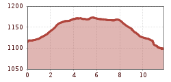
  • Elevation uphill:64 hm
  • Elevation downhill:79 hm
Highest point1,178 m

Starting point

Parking lot at the Tannheimer Bergbahnen

Finishing point

Parking lot at the Tannheimer Bergbahnen
  • Fitness level 4 / 6

Best time of year

  • January
  • February
  • March
  • April
  • May
  • June
  • July
  • August
  • September
  • October
  • November
  • December

Equipment

Es ist zu beachten, dass im Bergsport ein erhöhtes Unfall- und Verletzungsrisiko bestehen kann. Trotz umsichtiger Tourenplanung bleibt immer ein Basisrisiko bestehen. Eine Tourenvorbereitung durch Ausdauersport, entsprechendes technisches Training und Fortbildung sowie persönliche Umsichtigkeit mindert die Unfallgefahr und die Risiken. Vergessen Sie aber bitte nie, dass das Wetter in den Bergen sehr schnell umschlagen kann. Bleiben Sie auf den markierten Wanderwegen. Up-to-date and well-maintained equipment (shoes, poles and clothing) not only provides a considerable degree of safety but also makes hiking much easier. Sun protection (high protection factor and possibly sunglasses) and sufficient liquids should not be forgotten.
Source: Tannheimer Tal

Description

As the area around the Vilsalpsee, which has been a designated nature reserve for over 50 years and is also a Natura 2000 site, this hike is particularly attractive.

The barrier-free paths and excursion destinations we have selected also invite families and people with mobility aids to discover them: most of them are asphalted or well gravelled and can usually be negotiated with baby carriages or wheelchairs without any problems - although a helping hand may be an advantage in some passages.


Getting here

  • Arrival by public transport

    By train to Sonthofen, Pfronten/Ried or Reutte, then by bus to Tannheim. Bus stop Bergbahnen Neunerköpfle.

  • Parking

    On the A7 highway, take the "Oy-Mittelberg" exit on the B310 towards Wertach and Oberjoch. There follow the signs "Tannheimer Tal" B199, exit Tannheim, mountain railroad Neunerköpfle. From the Tyrolean side via Reutte on the B198 towards Lechtal to Weißenbach, over the Gaichtpass along the B199 to the Tannheim exit, Neunerköpfle cable car.
    Lift parking lot in Neunerköpfle Tannheim - for a fee.

Weather

Today

clear sky
23°C/6°C
0%0l5 km/h

Mon

clear sky
24°C/7°C
0%0l5 km/h

Tue

clear sky
24°C/8°C
0%0l5 km/h
Go to weather forecast
Newsletter

The mountain is calling? So does our newsletter!

In our monthly newsletter we reveal the best holiday tips for Tyrol.