Mountain hikes Deferegger Pfannhorn

St. Jakob im Defereggental / Villgratner Berge
Difficulty ratings: difficult
Route length: 14.0 km
Duration: 8:30 h

A rewarding hiking destination

Tour information

  • Requirement: difficult
  • Length: 14.0 km
  • Duration: 8:30 h
  • Elevation uphill:926 hm
  • Elevation downhill:926 hm
Highest point2,820 m

Starting point

Kapelle Maria Hilf

Finishing point

Deferegger Pfannhorn
  • Fitness level 4 / 6
  • Technique 3 / 6

Best time of year

  • January
  • February
  • March
  • April
  • May
  • June
  • July
  • August
  • September
  • October
  • November
  • December
Source: Defereggental

Description

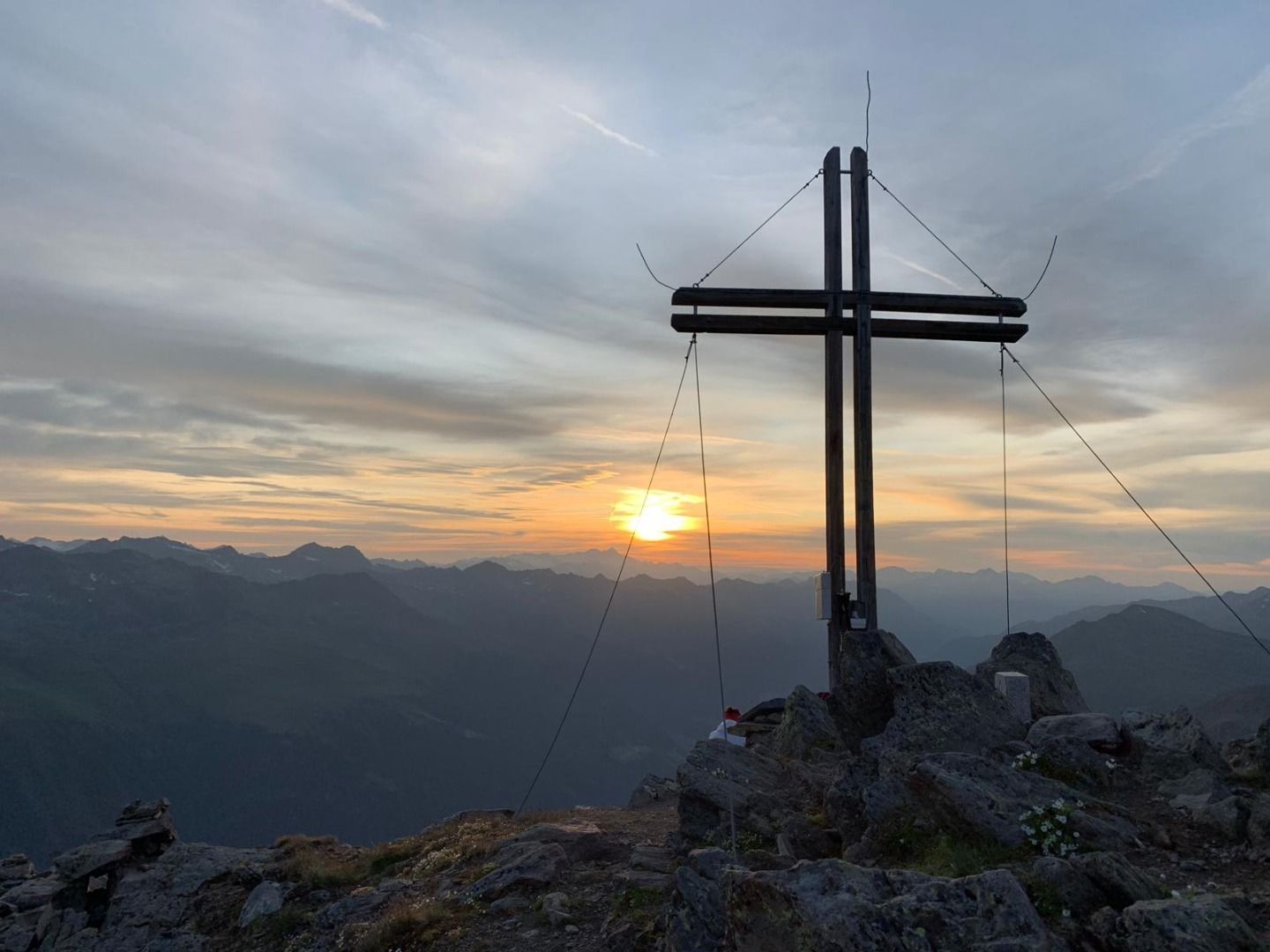
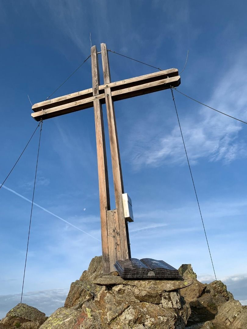
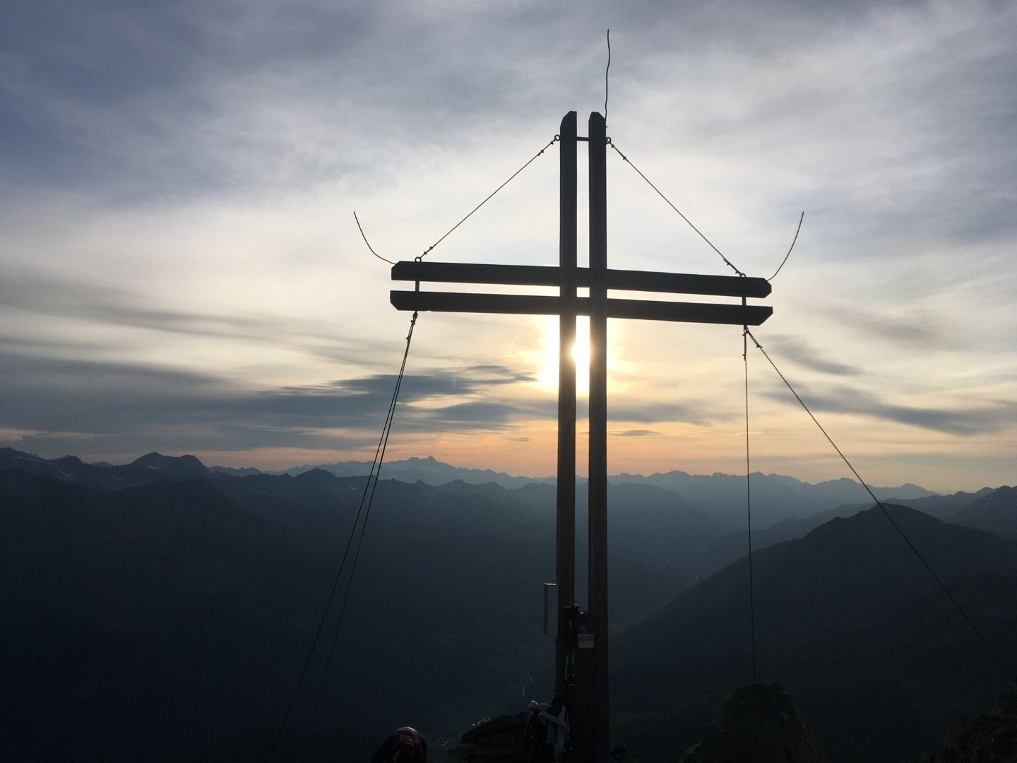
The Deferegger Pfannhorn is a border summit to the south-west of Maria Hilf. A mountain which comprises fantastic all-round views to the Rötspitze, Großvenediger, Großglockner, Hochschober, South Tirol Dolomites, ...

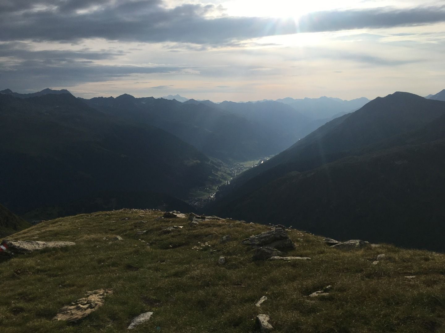
Starting point is car park "Grünbichl". From there head to "Hirschbichl". Now proceed via a steep path via Alpine pastures in a south-westerly direction, then bear left to a distinct hollow. Via the grassy slopes which follow proceed between two impressive rocks, somewhat to the left and climbing steeper up to the flanks of the summit. Via this arduous route section, gravelly in parts – in part over rock ledges – up to the summit.

Getting here

  • Arrival by public transport

    Haltestelle Grünbichl

  • Parking

    Parkplatz Grünbichl

More tours in the surrounding area

Newsletter

The mountain is calling? So does our newsletter!

In our monthly newsletter we reveal the best holiday tips for Tyrol.